The Lawn

Wood, Forest in Wiltshire

England

The Lawn

Old Milestone off the A303, Berwick Down, Steeple Langford parish Carved stone post by the byway, in parish of STEEPLE LANGFORD (SALISBURY District), Berwick Down; 25m South of junction with the A303 at North end of pig farm, on the verge, on East side of road. Old Sarum Bath stone, erected by an unknown authority in the 19th century. 

Inscription reads:-
IX
Miles From
SARUM
XXVII
to BATH
Recess on lower back might have been benchmark.

Scheduled Monument.
List Entry Number: 1005621 <span class="nowrap"><a title="https://historicengland.org.uk/listing/the-list/list-entry/1005621" rel="nofollow ugc noopener" href="https://historicengland.org.uk/listing/the-list/list-entry/1005621">Link</a><img style="margin-left:2px;" alt="External link" title="External link - shift click to open in new window" src="https://s1.geograph.org.uk/img/external.png" width="10" height="10"/></span>

Milestone Society National ID: WI_SABA09.
Old Milestone off the A303, Berwick Down, Steeple Langford parish Credit: Camilla Douglas

The Lawn, located in Wiltshire, England, is a picturesque woodland area renowned for its stunning beauty and rich biodiversity. Covering a vast area, this enchanting forest is a haven for nature lovers and outdoor enthusiasts alike.

The Lawn is characterized by its dense canopy of towering trees, including oak, beech, and ash, which provide ample shade and create a serene and tranquil atmosphere. The forest floor is carpeted with a diverse array of wildflowers, ferns, and mosses, adding to the area's natural charm. The forest is home to a wide variety of wildlife, including deer, foxes, badgers, and numerous bird species, making it a popular destination for birdwatchers and wildlife enthusiasts.

Traversing through The Lawn, visitors can explore a network of well-maintained walking trails that wind their way through the forest, offering breathtaking views and opportunities for peaceful contemplation. The trails are suitable for all levels of fitness, catering to both casual strollers and more avid hikers. Along the way, visitors may stumble upon hidden streams, small ponds, and ancient stone ruins, adding a touch of mystique to the already enchanting landscape.

The Lawn also offers facilities for picnicking and camping, allowing visitors to immerse themselves fully in the natural splendor of the forest. Additionally, guided nature walks and educational programs are available for those interested in learning more about the flora and fauna that call The Lawn their home.

Overall, The Lawn in Wiltshire is a captivating woodland destination that offers a unique blend of natural beauty, tranquility, and opportunities for outdoor exploration. Whether it's a leisurely stroll, a birdwatching adventure, or simply a chance to reconnect with nature, The Lawn promises an unforgettable experience for visitors of all ages.

If you have any feedback on the listing, please let us know in the comments section below.
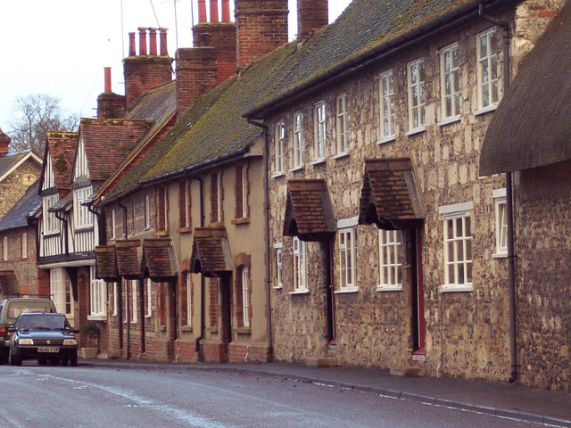
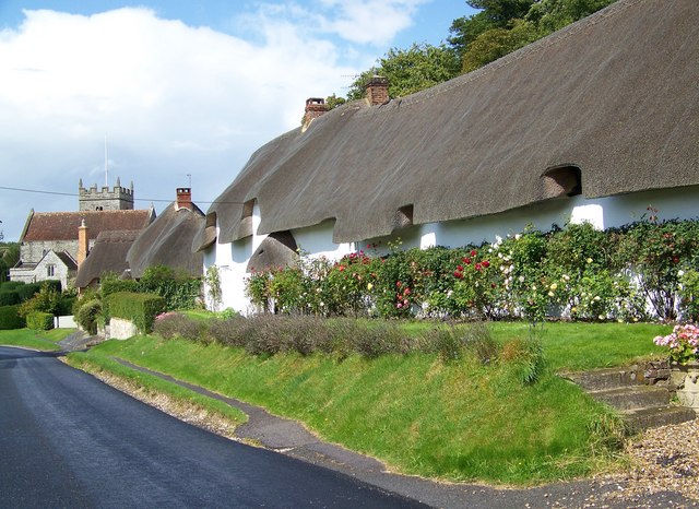
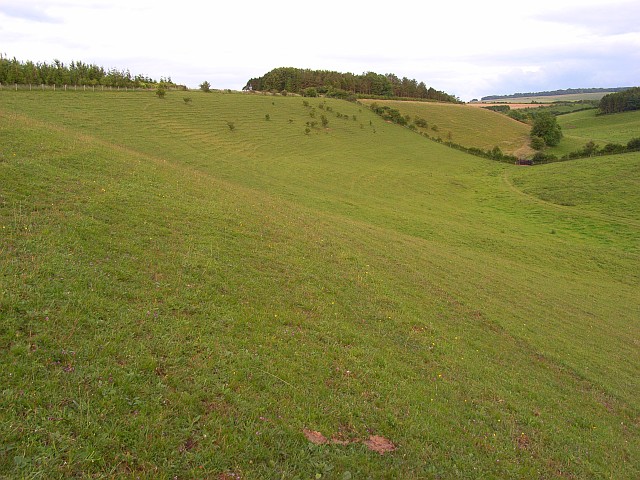
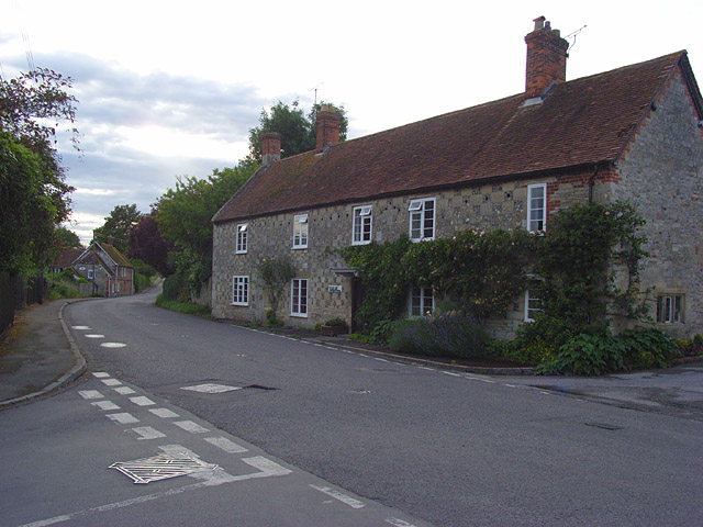
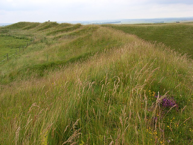
The Lawn Images

Images are sourced within 2km of 51.148588/-1.9212334 or Grid Reference SU0538. Thanks to Geograph Open Source API. All images are credited.

Old Milestone off the A303, Berwick Down, Steeple Langford parish Carved stone post by the byway, in parish of STEEPLE LANGFORD (SALISBURY District), Berwick Down; 25m South of junction with the A303 at North end of pig farm, on the verge, on East side of road. Old Sarum Bath stone, erected by an unknown authority in the 19th century. 

Inscription reads:-
IX
Miles From
SARUM
XXVII
to BATH
Recess on lower back might have been benchmark.

Scheduled Monument.
List Entry Number: 1005621 <span class="nowrap"><a title="https://historicengland.org.uk/listing/the-list/list-entry/1005621" rel="nofollow ugc noopener" href="https://historicengland.org.uk/listing/the-list/list-entry/1005621">Link</a><img style="margin-left:2px;" alt="External link" title="External link - shift click to open in new window" src="https://s1.geograph.org.uk/img/external.png" width="10" height="10"/></span>

Milestone Society National ID: WI_SABA09.
Old Milestone off the A303, Berwick Down, Steeple Langford parish
Carved stone post by the byway, in parish of STEEPLE LANGFORD (SALISBURY District), Berwick Down; 25m South of junction with the A303 at North end of pig farm, on the verge, on East side of road. Old Sarum Bath stone, erected by an unknown authority in the 19th century. Inscription reads:- IX Miles From SARUM XXVII to BATH Recess on lower back might have been benchmark. Scheduled Monument. List Entry Number: 1005621 LinkExternal link Milestone Society National ID: WI_SABA09.
A303 south of Parsonage Down
A303 descending Berwick Down The A303 is a main trunk road running 92 miles between Basingstoke and Honiton. Along with the A30 and M3 it forms a major route between London and the South West. Much of the road is dual carriageway, but some stretches remain single and prone to congestion.

Wikipedia: <span class="nowrap"><a title="http://en.wikipedia.org/wiki/A303_road" rel="nofollow ugc noopener" href="http://en.wikipedia.org/wiki/A303_road">Link</a><img style="margin-left:2px;" alt="External link" title="External link - shift click to open in new window" src="https://s1.geograph.org.uk/img/external.png" width="10" height="10"/></span>
A303 descending Berwick Down
The A303 is a main trunk road running 92 miles between Basingstoke and Honiton. Along with the A30 and M3 it forms a major route between London and the South West. Much of the road is dual carriageway, but some stretches remain single and prone to congestion. Wikipedia: LinkExternal link
A303 towards Winterbourne Stoke Heading east. The road has reverted to two way traffic again.
A303 towards Winterbourne Stoke
Heading east. The road has reverted to two way traffic again.
Water Tower A water tower is an elevated structure supporting a water tank constructed at a height sufficient to pressurize a water supply system for the distribution of drinkable water, and to provide emergency storage for fire protection.
Wikipedia: <span class="nowrap"><a title="http://en.wikipedia.org/wiki/Water_tower" rel="nofollow ugc noopener" href="http://en.wikipedia.org/wiki/Water_tower">Link</a><img style="margin-left:2px;" alt="External link" title="External link - shift click to open in new window" src="https://s1.geograph.org.uk/img/external.png" width="10" height="10"/></span>
Water Tower
A water tower is an elevated structure supporting a water tank constructed at a height sufficient to pressurize a water supply system for the distribution of drinkable water, and to provide emergency storage for fire protection. Wikipedia: LinkExternal link
View across Berwick Down From the A303 roadside.
View across Berwick Down
From the A303 roadside.
A303, westbound The A303 is a main trunk road running 92 miles between Basingstoke and Honiton. Along with the A30 and M3 it forms a major route between London and the South West. Much of the road is dual carriageway, but some stretches remain single and prone to congestion.

Wikipedia: <span class="nowrap"><a title="http://en.wikipedia.org/wiki/A303_road" rel="nofollow ugc noopener" href="http://en.wikipedia.org/wiki/A303_road">Link</a><img style="margin-left:2px;" alt="External link" title="External link - shift click to open in new window" src="https://s1.geograph.org.uk/img/external.png" width="10" height="10"/></span>
A303, westbound
The A303 is a main trunk road running 92 miles between Basingstoke and Honiton. Along with the A30 and M3 it forms a major route between London and the South West. Much of the road is dual carriageway, but some stretches remain single and prone to congestion. Wikipedia: LinkExternal link
Tree north of A303
Tree north of A303
A303, Berwick Downs The A303 is a main trunk road running 92 miles between Basingstoke and Honiton. Along with the A30 and M3 it forms a major route between London and the South West. Much of the road is dual carriageway, but some stretches remain single and prone to congestion.

Wikipedia: <span class="nowrap"><a title="http://en.wikipedia.org/wiki/A303_road" rel="nofollow ugc noopener" href="http://en.wikipedia.org/wiki/A303_road">Link</a><img style="margin-left:2px;" alt="External link" title="External link - shift click to open in new window" src="https://s1.geograph.org.uk/img/external.png" width="10" height="10"/></span>
A303, Berwick Downs
The A303 is a main trunk road running 92 miles between Basingstoke and Honiton. Along with the A30 and M3 it forms a major route between London and the South West. Much of the road is dual carriageway, but some stretches remain single and prone to congestion. Wikipedia: LinkExternal link
Copse beside the A303 near Winterbourne Stoke The copse surrounds a water tower.
Copse beside the A303 near Winterbourne Stoke
The copse surrounds a water tower.
Wiltshire : The A303 Heading through Wiltshire on the A303.
Wiltshire : The A303
Heading through Wiltshire on the A303.
Old Milestone off the A303, Berwick Down, Steeple Langford parish Carved stone post by the byway, in parish of STEEPLE LANGFORD (SALISBURY District), Berwick Down; 25m South of junction with the A303 at North end of pig farm, on the verge, on East side of road. Old Sarum Bath stone, erected by an unknown authority in the 19th century. 

Inscription reads:-
IX
Miles From
SARUM
XXVII
to BATH
Recess on lower back might have been benchmark.

Scheduled Monument.
List Entry Number: 1005621 <span class="nowrap"><a title="https://historicengland.org.uk/listing/the-list/list-entry/1005621" rel="nofollow ugc noopener" href="https://historicengland.org.uk/listing/the-list/list-entry/1005621">Link</a><img style="margin-left:2px;" alt="External link" title="External link - shift click to open in new window" src="https://s1.geograph.org.uk/img/external.png" width="10" height="10"/></span>

Milestone Society National ID: WI_SABA09.
Old Milestone off the A303, Berwick Down, Steeple Langford parish
Carved stone post by the byway, in parish of STEEPLE LANGFORD (SALISBURY District), Berwick Down; 25m South of junction with the A303 at North end of pig farm, on the verge, on East side of road. Old Sarum Bath stone, erected by an unknown authority in the 19th century. Inscription reads:- IX Miles From SARUM XXVII to BATH Recess on lower back might have been benchmark. Scheduled Monument. List Entry Number: 1005621 LinkExternal link Milestone Society National ID: WI_SABA09.
A303 heading west English strawberries and cherries ahead, surprising for early September.
A303 heading west
English strawberries and cherries ahead, surprising for early September.
Berwick St James : A303 Looking along the A303.
Berwick St James : A303
Looking along the A303.
Berwick St James : Countryside Scenery Looking out across the countryside.
Berwick St James : Countryside Scenery
Looking out across the countryside.
Berwick St James : A303 Traffic builds on the A303.
Berwick St James : A303
Traffic builds on the A303.
Berwick St James : A303 Looking along the A303.
Berwick St James : A303
Looking along the A303.
Berwick St James : A303 Looking along the A303.
Berwick St James : A303
Looking along the A303.
Show me another place!

The Lawn is located at Grid Ref: SU0538 (Lat: 51.148588, Lng: -1.9212334)

Unitary Authority: Wiltshire

Police Authority: Wiltshire

What 3 Words

///kilowatt.passively.kingdom. Near Winterbourne Stoke, Wiltshire

Nearby Locations

The Lawn

Related Wikis

Berwick St James

Berwick St James is a village and civil parish on the River Till in Wiltshire, England, about 7 miles (11 km) northwest of Salisbury, on the southern edge...

Stapleford, Wiltshire

Stapleford is a village and civil parish about 4 miles (6.4 km) north of Wilton, Wiltshire, England. The village is on the River Till just above its confluence...

River Till, Wiltshire

The River Till rises near Tilshead on Salisbury Plain in the English county of Wiltshire. It flows for about 14 km (9 miles) south and south-east, through...

Steeple Langford Down

Steeple Langford Down (grid reference SU036387) is a 21.75 hectare biological Site of Special Scientific Interest at Steeple Langford in Wiltshire, notified...
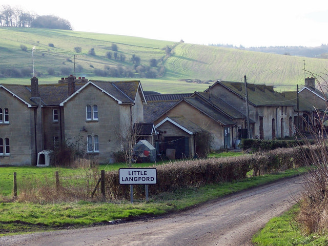
Little Langford

Little Langford is a hamlet and former civil parish, now in the parish of Steeple Langford, in Wiltshire, England. Its nearest town is Wilton, about 5...

Steeple Langford

Steeple Langford is a village and civil parish in the English county of Wiltshire, 6 miles (10 km) northwest of Wilton. It has also been called Great Langford...

Parsonage Down

Parsonage Down (grid reference SU050412) is a 188.6 hectare biological Site of Special Scientific Interest in Wiltshire, England, notified in 1971. It...

Yarnbury Castle

Yarnbury Castle is the site of a multiphase, multivallate Iron Age hillfort near the village of Steeple Langford, Wiltshire, England. The site covers an...

Have you been to The Lawn?

Leave your review of The Lawn below (or comments, questions and feedback).