Bakestone Delph Clough

Valley in Derbyshire High Peak

England

Bakestone Delph Clough

The Pennine Way near William Clough
The Pennine Way near William Clough Credit: Dave Kelly

Bakestone Delph Clough is a picturesque valley located in Derbyshire, England. Nestled amidst the stunning Peak District National Park, this idyllic spot offers a tranquil retreat for nature lovers and outdoor enthusiasts alike.

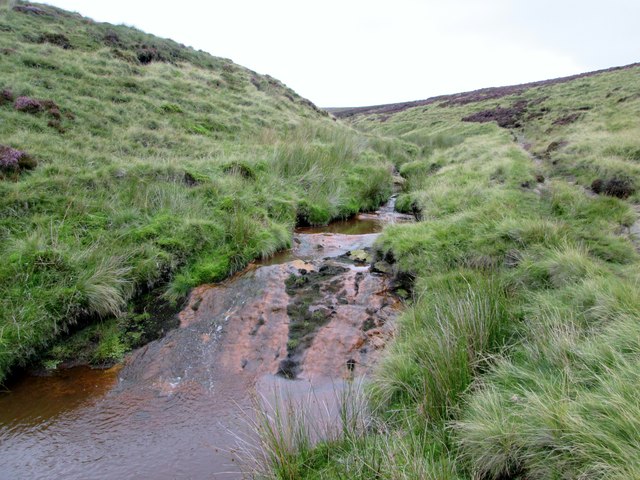
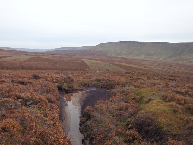
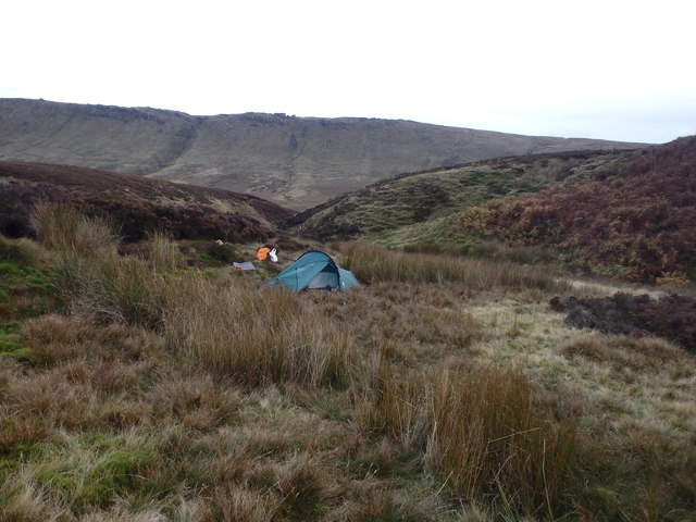
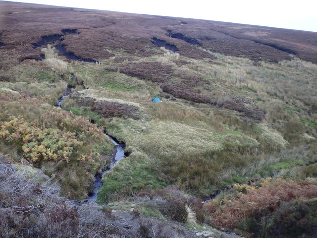
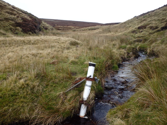
The valley is named after the Bakestone Delph, a large rock formation that serves as a prominent landmark in the area. The clough, or gorge, is formed by the convergence of two streams, creating a serene and verdant landscape. Lush green meadows, ancient woodlands, and cascading waterfalls adorn the valley, providing a haven for a diverse range of flora and fauna.

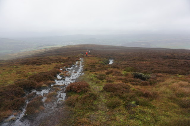
Visitors to Bakestone Delph Clough can enjoy a variety of activities. Hiking and walking trails crisscross the area, offering breathtaking views of the surrounding countryside. The valley is home to several rare bird species, making it a popular spot for birdwatching. Wildlife enthusiasts may also spot rabbits, foxes, and even the occasional deer while exploring the valley.

For those seeking a more adventurous experience, Bakestone Delph Clough provides opportunities for rock climbing and bouldering. The rugged cliffs and rocky outcrops present a challenge for climbers of all levels. Additionally, the nearby streams offer a chance to indulge in fishing or simply relax by the water's edge.

Bakestone Delph Clough is a hidden gem in Derbyshire, offering a peaceful escape from the hustle and bustle of everyday life. Its natural beauty and diverse range of activities make it a must-visit destination for anyone looking to connect with nature and enjoy the great outdoors.

If you have any feedback on the listing, please let us know in the comments section below.

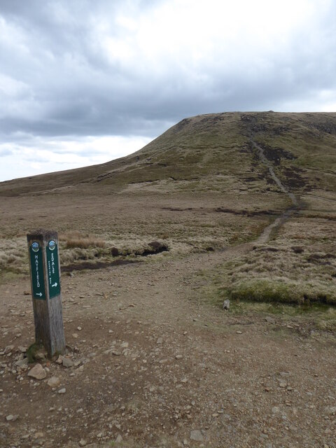
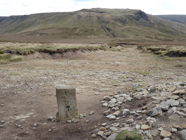
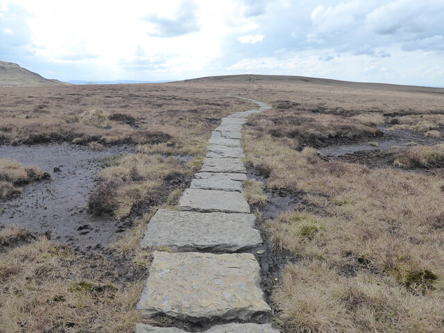
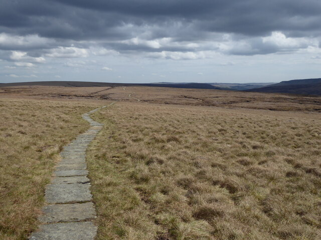
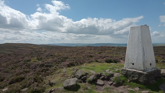
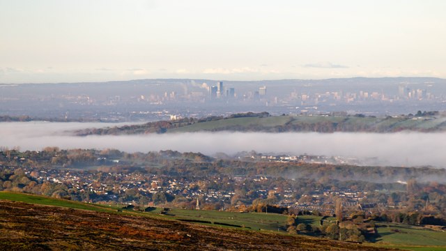
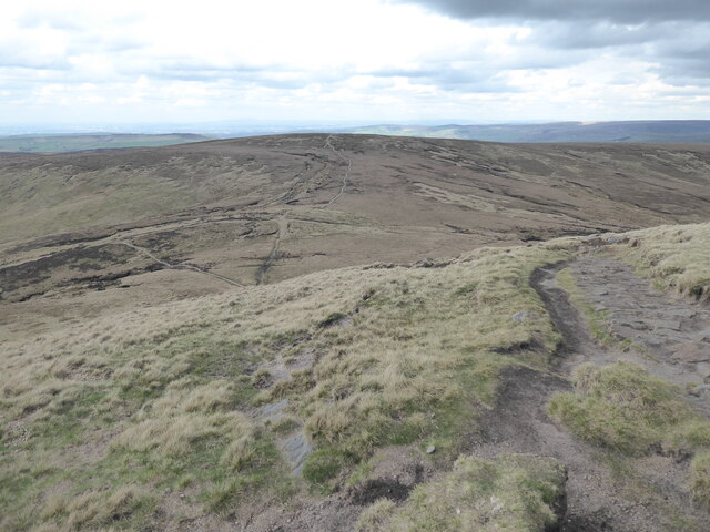
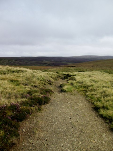
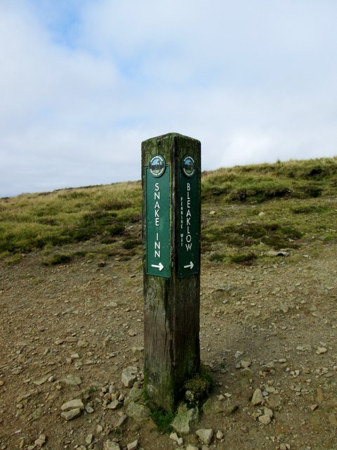
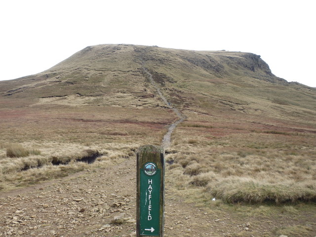
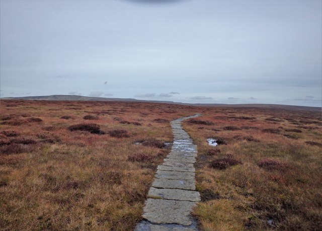
Bakestone Delph Clough Images

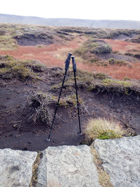
Images are sourced within 2km of 53.419298/-1.9130521 or Grid Reference SK0591. Thanks to Geograph Open Source API. All images are credited.

The Pennine Way near William Clough
The Pennine Way near Mill Hill
The Pennine Way near Bakestone Delph Clough
The Pennine Way near Moss Castle
View from Harry Hut The view direction given may be out by 90°. I have gone with what I typed into my phone's notebook, though it could be SouthEast - geographing would be a lot easier if 'w' and 'e' weren't right next to each other on the keyboard I often think!
Sitting amongst lots of pretty purple heather, the hill itself is fairly unremarkable apart from the trig pillar; it's more of a bump on a plateau shared with Burnt Hill, which is due South, before the land slowly rises again to the East. Its name is pretty good though, and nobody seems to have a clue where it comes from. If there was a hut here once - which is surely the most logical explanation - should it not have been called 'Harry's Hut'?  The answer will no doubt be in an old book somewhere.
The trig point's height is 441 metres. All four sight-holes at the base are still there, which is fairly unusual, but on the other hand  the bit in the middle of the top mounting plate has been concreted over.
View from Harry Hut
The view direction given may be out by 90°. I have gone with what I typed into my phone's notebook, though it could be SouthEast - geographing would be a lot easier if 'w' and 'e' weren't right next to each other on the keyboard I often think! Sitting amongst lots of pretty purple heather, the hill itself is fairly unremarkable apart from the trig pillar; it's more of a bump on a plateau shared with Burnt Hill, which is due South, before the land slowly rises again to the East. Its name is pretty good though, and nobody seems to have a clue where it comes from. If there was a hut here once - which is surely the most logical explanation - should it not have been called 'Harry's Hut'? The answer will no doubt be in an old book somewhere. The trig point's height is 441 metres. All four sight-holes at the base are still there, which is fairly unusual, but on the other hand the bit in the middle of the top mounting plate has been concreted over.
Manchester View of Manchester seen from the A57, Snake Road.
Manchester
View of Manchester seen from the A57, Snake Road.
The Pennine Way near William Clough
Snake  Path  toward  Ashop  Head  and  Clough The path goes through the start of the River Ashop and then follows the infant river to the Snake Pass
Snake Path toward Ashop Head and Clough
The path goes through the start of the River Ashop and then follows the infant river to the Snake Pass
Snake  Path  Pennine  Way  crossing On the watershed between William Clough and Ashop Clough
Snake Path Pennine Way crossing
On the watershed between William Clough and Ashop Clough
The  infant  River  Ashop  below  Ashop  Head Alongside the Snake Path for its first few miles, it flows into Ladybower Reservoir from which the River Derwent flows that joins the River Trent which eventually joins the River Ouse and becomes the River Humber which goes into the North Sea at Spurn Point.
The infant River Ashop below Ashop Head
Alongside the Snake Path for its first few miles, it flows into Ladybower Reservoir from which the River Derwent flows that joins the River Trent which eventually joins the River Ouse and becomes the River Humber which goes into the North Sea at Spurn Point.
Ashop Head Looking back at the Kinder plateau.
Ashop Head
Looking back at the Kinder plateau.
Pennine Way Beyond Mill Hill
Pennine Way
Beyond Mill Hill
On The Pennine Way I left the Pennine way here near Moss Castle to find somewhere to camp.
On The Pennine Way
I left the Pennine way here near Moss Castle to find somewhere to camp.
Black Ashop Moor Deep heather
Black Ashop Moor
Deep heather
Camp, Within Clough A flattish grassy pitch in the midst of the moor
Camp, Within Clough
A flattish grassy pitch in the midst of the moor
Camp, Within Clough On Black Ashop Moor
Camp, Within Clough
On Black Ashop Moor
Structure, Within Clough A rather Heath Robinson looking contraption is fixed to the bank of Within Clough. Purpose unknown.
Structure, Within Clough
A rather Heath Robinson looking contraption is fixed to the bank of Within Clough. Purpose unknown.
Path on Black Moor A route from the Pennine Way down towards Glossop. Glossop itself is a bit obscured by the weather ahead.
Path on Black Moor
A route from the Pennine Way down towards Glossop. Glossop itself is a bit obscured by the weather ahead.
Show me another place!

Bakestone Delph Clough is located at Grid Ref: SK0591 (Lat: 53.419298, Lng: -1.9130521)

Administrative County: Derbyshire

District: High Peak

Police Authority: Derbyshire

What 3 Words

///fellow.punters.lace. Near Glossop, Derbyshire

Related Wikis

Nearby Amenities

Located within 500m of 53.419298,-1.9130521
Blakestone Delph Clough
Place: locality
Source: Bing
Lat/Long: 53.4192462/-1.9125385
Fair Vage Clough
Place: locality
Source: Bing
Lat/Long: 53.4220838/-1.9113582
The data included in this document is from www.openstreetmap.org. The data is made available under ODbL.

Have you been to Bakestone Delph Clough?

Leave your review of Bakestone Delph Clough below (or comments, questions and feedback).