Sun Hill Clough
Valley in Yorkshire
England
Sun Hill Clough
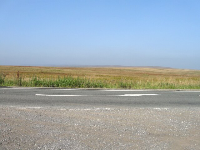
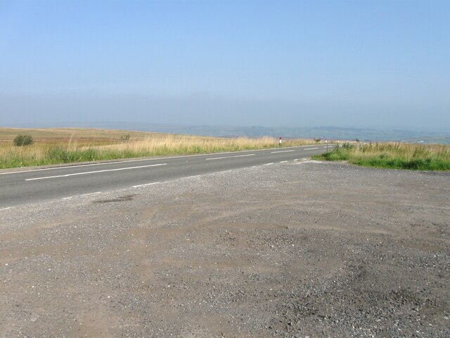
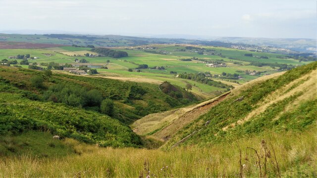
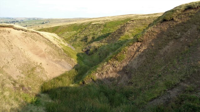
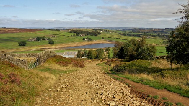
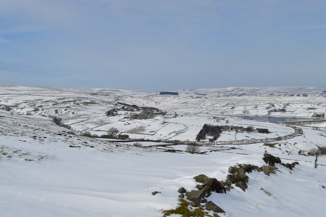
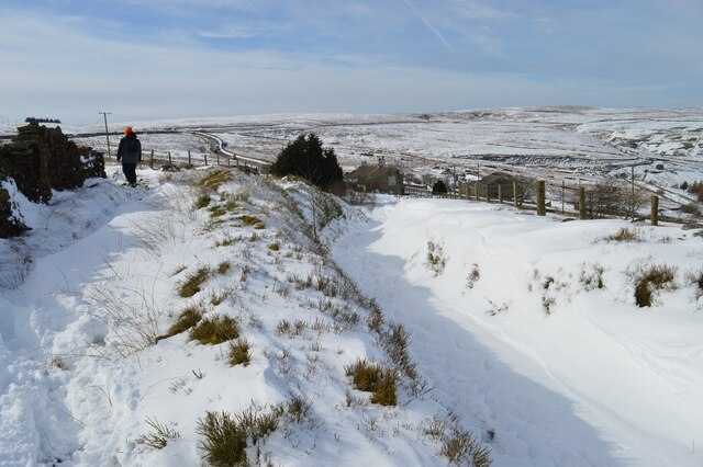
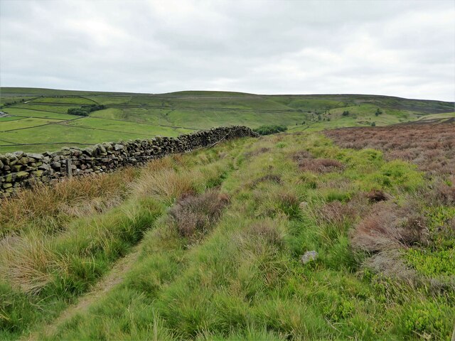
Sun Hill Clough is a picturesque valley located in the county of Yorkshire, England. Situated in the heart of the Pennines, it offers breathtaking views and diverse natural landscapes that attract visitors from far and wide.
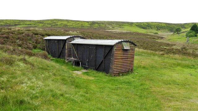
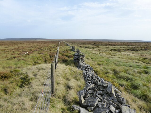
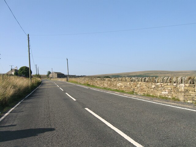
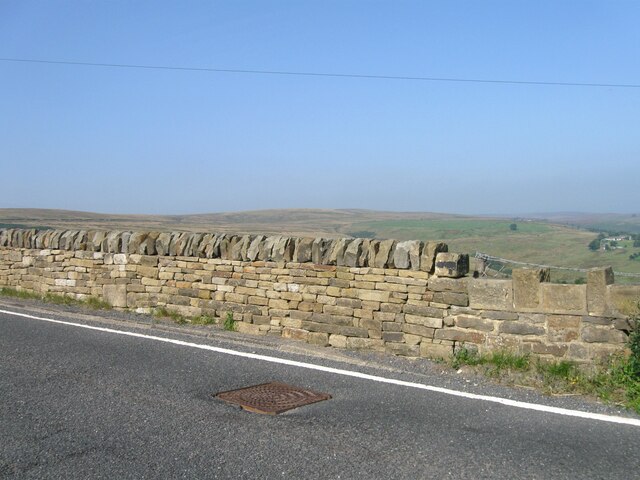
This enchanting valley is characterized by its rolling hills, lush green meadows, and ancient woodlands, creating a haven for wildlife and flora. The clough is crossed by a meandering stream, which adds to the idyllic charm of the area.
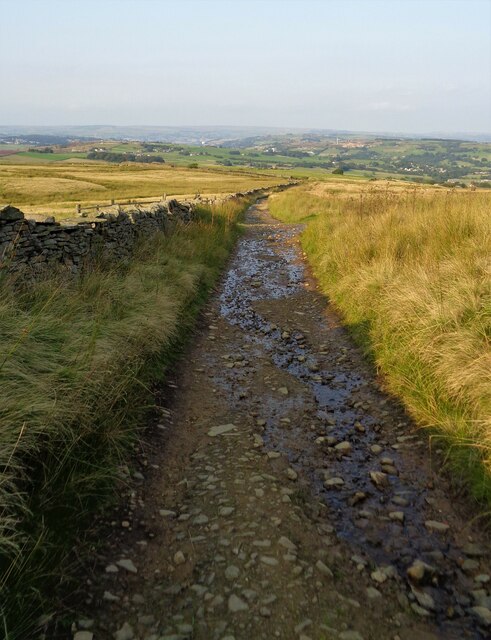
Walking enthusiasts are drawn to Sun Hill Clough for its extensive network of footpaths and trails, providing opportunities to explore the stunning surroundings. The valley is also home to a wide range of wildlife, including deer, foxes, and various bird species, making it a popular spot for nature lovers and birdwatchers.
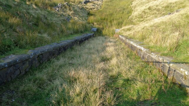
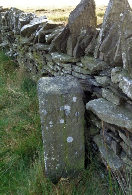
Historically, Sun Hill Clough has been utilized for farming, with the remnants of old stone walls and farm buildings still visible. Its rich history is also evident in the presence of archaeological sites, including ancient burial mounds and stone circles nearby.
The tranquility and natural beauty of Sun Hill Clough make it an ideal destination for those seeking a peaceful retreat or a place to engage in outdoor activities. Whether it is hiking, birdwatching, or simply enjoying the serene surroundings, Sun Hill Clough offers an immersive experience in the heart of Yorkshire's captivating countryside.
If you have any feedback on the listing, please let us know in the comments section below.
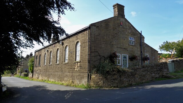
Sun Hill Clough Images
Images are sourced within 2km of 53.8046/-1.9867225 or Grid Reference SE0034. Thanks to Geograph Open Source API. All images are credited.
Sun Hill Clough is located at Grid Ref: SE0034 (Lat: 53.8046, Lng: -1.9867225)
Division: West Riding
Unitary Authority: Bradford
Police Authority: West Yorkshire
What 3 Words
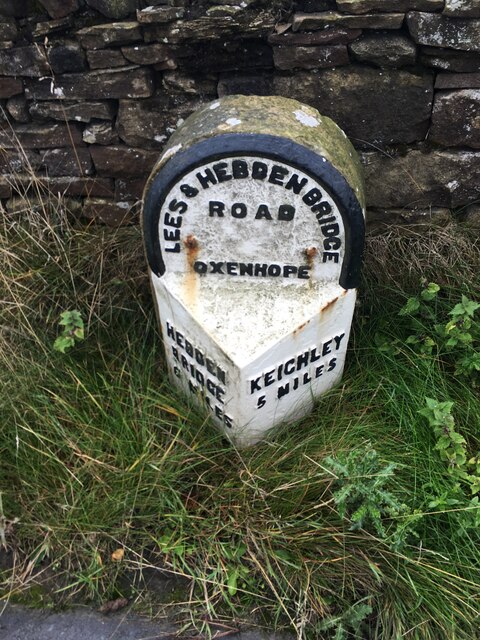
///orchestra.pocketed.twilight. Near Oxenhope, West Yorkshire
Nearby Locations
Related Wikis

Worth Valley
Worth Valley is a ward in the City of Bradford Metropolitan District Council, West Yorkshire. The population of the ward taken at the 2011 Census was 14...

Oxenhope
Oxenhope is a village and civil parish near Keighley in the metropolitan borough of Bradford, West Yorkshire, England. It was historically part of the...

Oxenhope railway station
Oxenhope railway station serves the village of Oxenhope, near Haworth, and within the City of Bradford Metropolitan District of West Yorkshire, England...

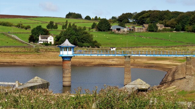
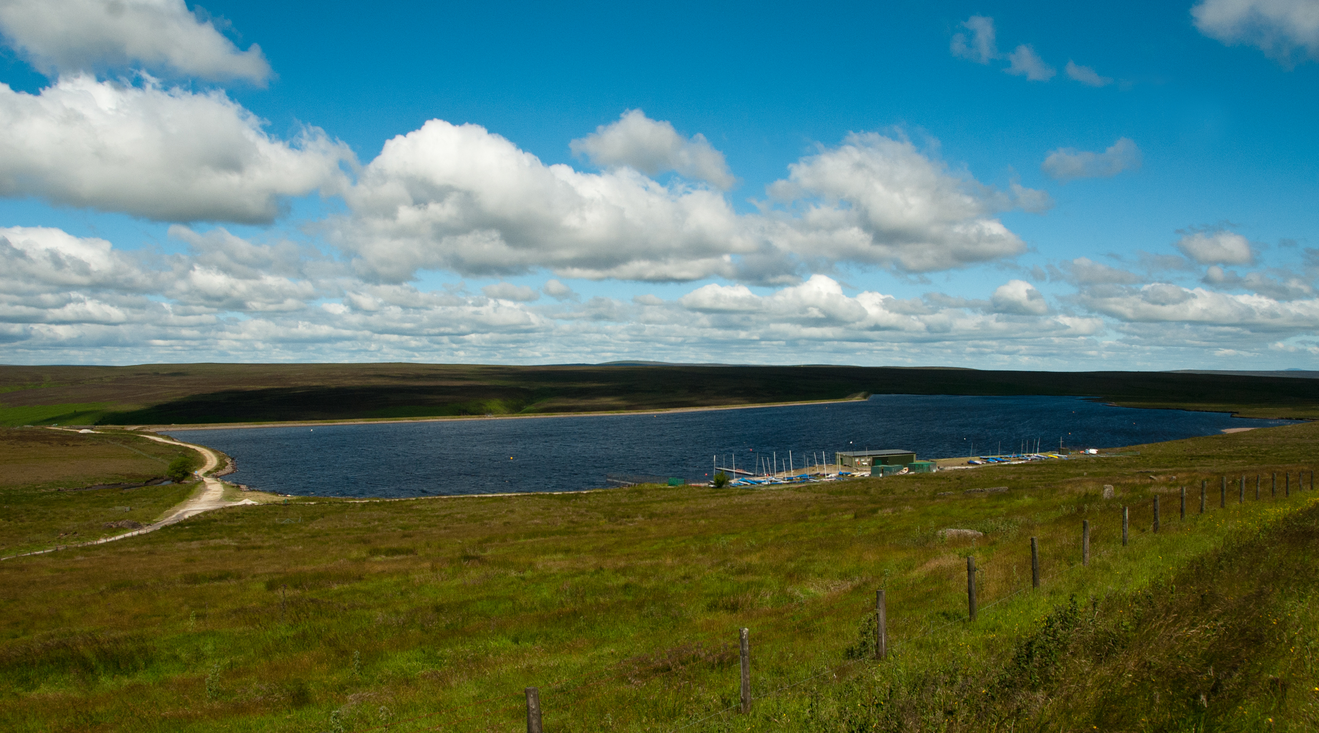
Lower Laithe Reservoir
Lower Laithe Reservoir is a man-made upland reservoir that lies 1.2 miles (2 km) west of Haworth, West Yorkshire, England. The reservoir was initially...

Penistone Hill Country Park
Penistone Hill Country Park is an open space of moorland that is located to 0.31 miles (0.5 km) west of Haworth and 0.62 miles (1 km) north-west of Oxenhope...

Stanbury
Stanbury is a village and former civil parish, now in the parish of Haworth and Stanbury, in the metropolitan borough of the City of Bradford in West Yorkshire...

Top Withens
Top Withens (SD981353) (also known as Top Withins) is a ruined farmhouse near Haworth, West Yorkshire, England, which is said to have been the inspiration...
Warley Moor Reservoir
Warley Moor Reservoir, also known as Fly Flatts Reservoir, is a drinking water reservoir in West Yorkshire, England, owned and operated by Yorkshire Water...
Nearby Amenities
Located within 500m of 53.8046,-1.9867225Have you been to Sun Hill Clough?
Leave your review of Sun Hill Clough below (or comments, questions and feedback).