Dry Clough
Valley in Yorkshire
England
Dry Clough
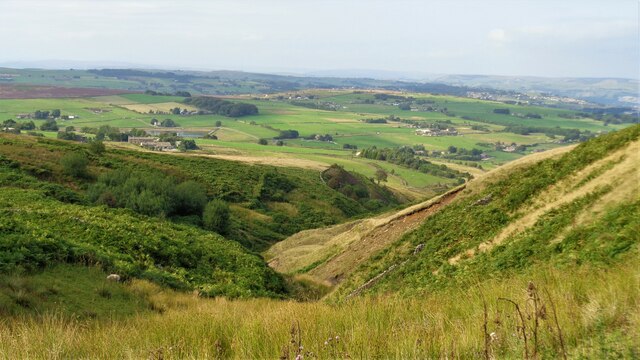
Dry Clough is a picturesque valley located in Yorkshire, England. Nestled amidst the rolling hills and scenic landscapes, it offers visitors a tranquil and serene escape from the bustling city life. The valley is situated in the eastern part of Yorkshire, near the town of Hebden Bridge.
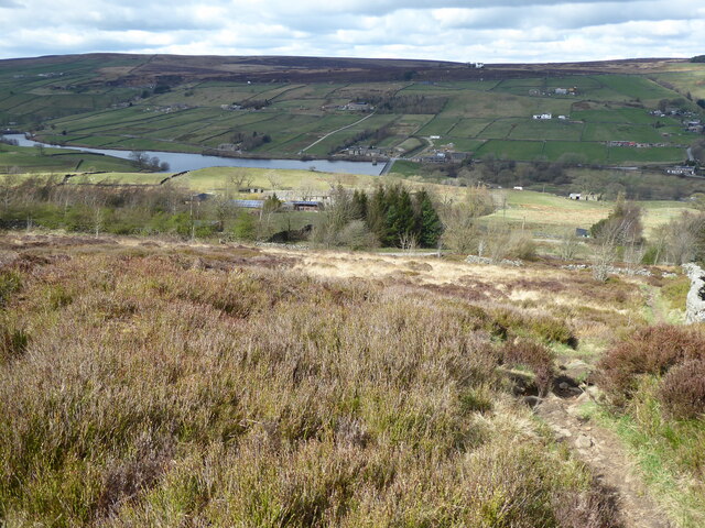
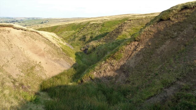
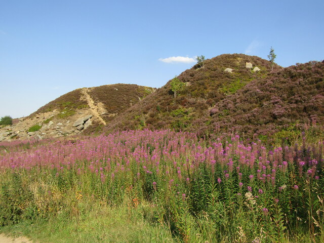
The defining feature of Dry Clough is its stunning natural beauty. Lush greenery blankets the valley, with a variety of flora and fauna adding to its charm. The valley is home to a diverse range of plant and animal species, making it an ideal location for nature enthusiasts and wildlife lovers.
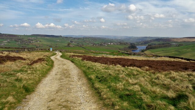
A small river meanders through the heart of Dry Clough, adding to its allure. The babbling waters create a soothing ambiance and provide a serene backdrop for leisurely walks and picnics. The river also offers opportunities for fishing and other water-based activities.
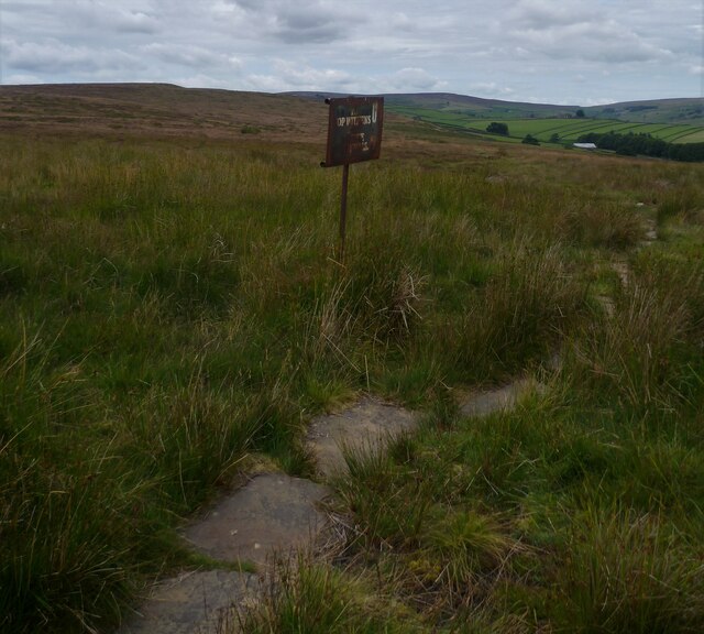
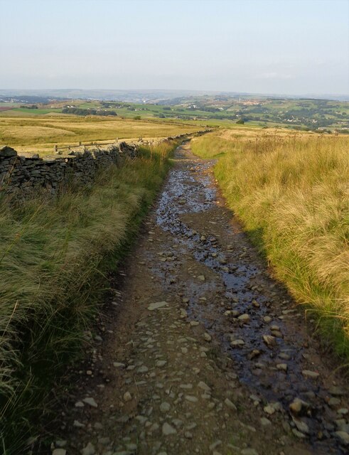
For those seeking adventure, Dry Clough presents several hiking trails and walking paths. These routes wind through the valley, offering breathtaking views of the surrounding countryside. Visitors can explore the valley at their own pace, immersing themselves in the natural wonders and peaceful atmosphere.
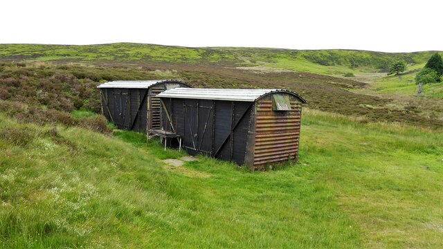
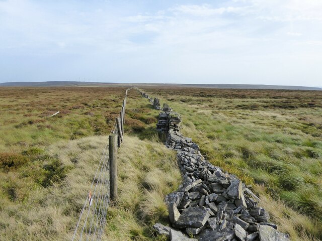
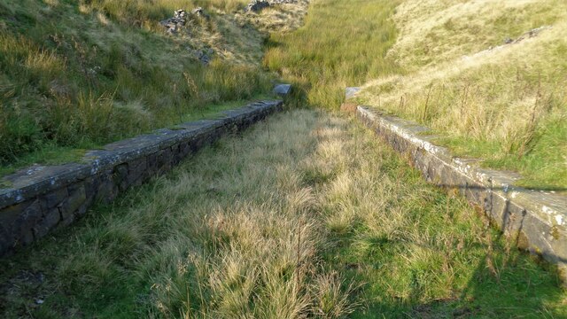
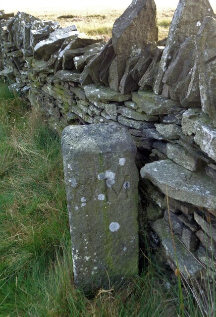
In addition to its natural beauty, Dry Clough also boasts a rich cultural heritage. The valley is dotted with historical landmarks and ancient ruins, providing glimpses into the region's past. These include old farmhouses, stone walls, and remnants of mining activities.
Overall, Dry Clough is a hidden gem in Yorkshire, offering a perfect blend of natural beauty and historical significance. Whether one seeks tranquility, outdoor activities, or a glimpse into the region's heritage, this valley has something to offer for everyone.
If you have any feedback on the listing, please let us know in the comments section below.
Dry Clough Images
Images are sourced within 2km of 53.813858/-1.9866589 or Grid Reference SE0035. Thanks to Geograph Open Source API. All images are credited.


Dry Clough is located at Grid Ref: SE0035 (Lat: 53.813858, Lng: -1.9866589)
Division: West Riding
Unitary Authority: Bradford
Police Authority: West Yorkshire
What 3 Words
///balancing.inspected.archduke. Near Oxenhope, West Yorkshire
Nearby Locations
Related Wikis

Lower Laithe Reservoir
Lower Laithe Reservoir is a man-made upland reservoir that lies 1.2 miles (2 km) west of Haworth, West Yorkshire, England. The reservoir was initially...

Stanbury
Stanbury is a village and former civil parish, now in the parish of Haworth and Stanbury, in the metropolitan borough of the City of Bradford in West Yorkshire...

Penistone Hill Country Park
Penistone Hill Country Park is an open space of moorland that is located to 0.31 miles (0.5 km) west of Haworth and 0.62 miles (1 km) north-west of Oxenhope...

Worth Valley
Worth Valley is a ward in the City of Bradford Metropolitan District Council, West Yorkshire. The population of the ward taken at the 2011 Census was 14...
Nearby Amenities
Located within 500m of 53.813858,-1.9866589Have you been to Dry Clough?
Leave your review of Dry Clough below (or comments, questions and feedback).