Green Holes Clough
Valley in Yorkshire
England
Green Holes Clough
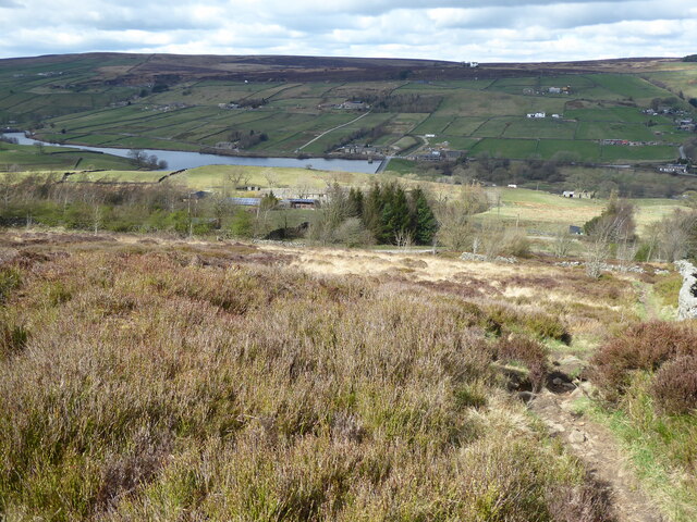
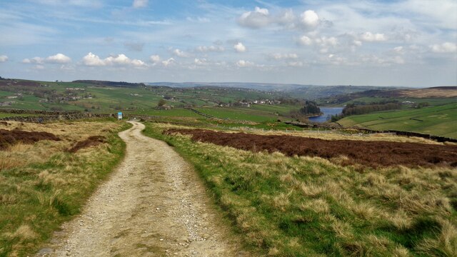
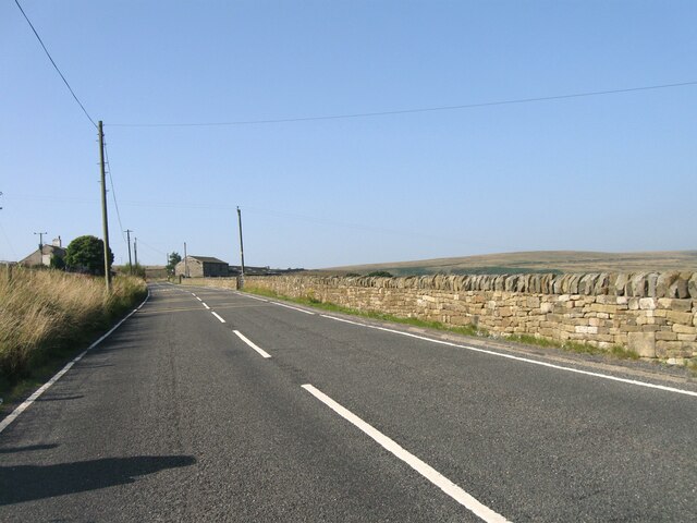
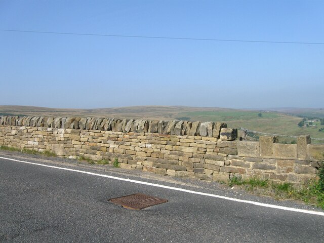
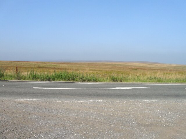
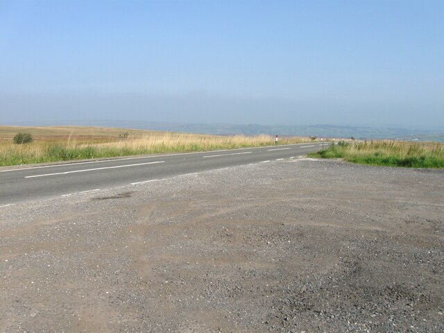
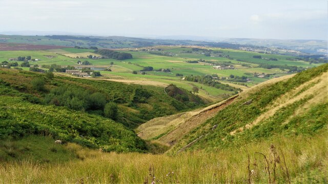
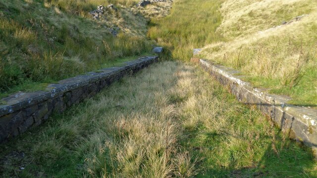
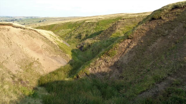
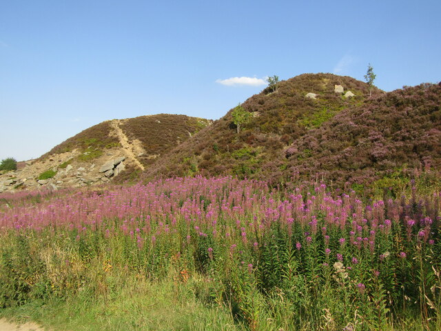
Green Holes Clough is a picturesque valley located in the county of Yorkshire, England. Situated in the North York Moors National Park, it offers breathtaking views, diverse wildlife, and a tranquil atmosphere. The clough, a local term for a steep-sided valley, is nestled between rolling hills and is characterized by its lush greenery and meandering stream.
The valley is named after the numerous small, emerald-colored pools that dot its landscape, known as "green holes." These pools are formed by natural springs that emerge from the surrounding hillsides, creating a serene and captivating sight. The clean and clear water of these pools makes them an ideal habitat for a variety of aquatic plants and wildlife, including rare species of fish and amphibians.
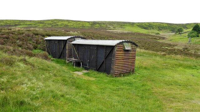
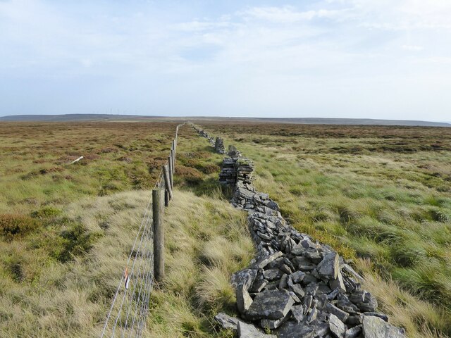
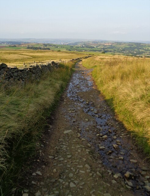
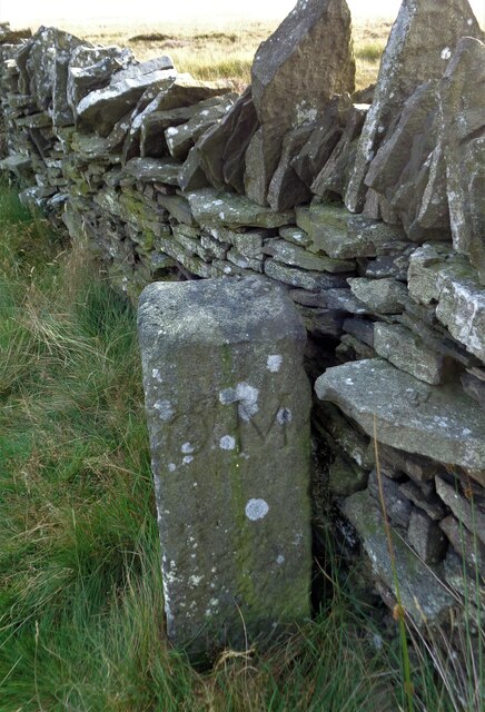
Green Holes Clough is a haven for nature enthusiasts and hikers alike, offering a network of well-maintained trails that wind through the valley and surrounding woodlands. The paths provide access to stunning viewpoints, allowing visitors to appreciate the beauty of the surrounding countryside and the valley itself. The area is also home to a diverse range of flora and fauna, with wildflowers, ancient trees, and bird species adding to the natural charm of the location.
The valley's peaceful ambiance and unspoiled natural surroundings make it a popular destination for those seeking respite from the hustle and bustle of everyday life. Whether it's a leisurely walk along the stream or a more challenging hike up the hillsides, Green Holes Clough offers a unique and refreshing outdoor experience for visitors of all ages.
If you have any feedback on the listing, please let us know in the comments section below.
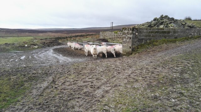
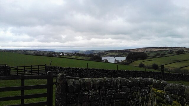
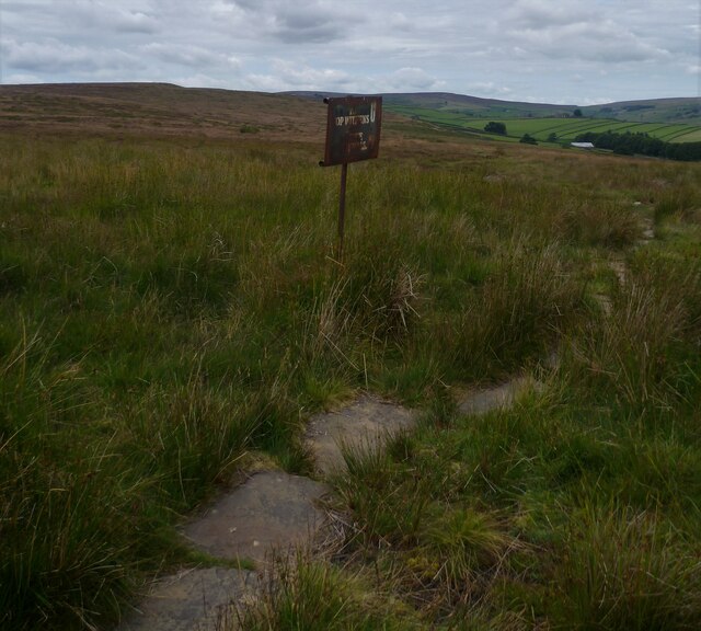
Green Holes Clough Images
Images are sourced within 2km of 53.810748/-1.9892111 or Grid Reference SE0034. Thanks to Geograph Open Source API. All images are credited.
Green Holes Clough is located at Grid Ref: SE0034 (Lat: 53.810748, Lng: -1.9892111)
Division: West Riding
Unitary Authority: Bradford
Police Authority: West Yorkshire
What 3 Words
///tidal.divide.awake. Near Oxenhope, West Yorkshire
Nearby Locations
Related Wikis

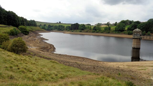
Lower Laithe Reservoir
Lower Laithe Reservoir is a man-made upland reservoir that lies 1.2 miles (2 km) west of Haworth, West Yorkshire, England. The reservoir was initially...

Stanbury
Stanbury is a village and former civil parish, now in the parish of Haworth and Stanbury, in the metropolitan borough of the City of Bradford in West Yorkshire...

Penistone Hill Country Park
Penistone Hill Country Park is an open space of moorland that is located to 0.31 miles (0.5 km) west of Haworth and 0.62 miles (1 km) north-west of Oxenhope...

Worth Valley
Worth Valley is a ward in the City of Bradford Metropolitan District Council, West Yorkshire. The population of the ward taken at the 2011 Census was 14...

Oxenhope
Oxenhope is a village and civil parish near Keighley in the metropolitan borough of Bradford, West Yorkshire, England. It was historically part of the...

Oxenhope railway station
Oxenhope railway station serves the village of Oxenhope, near Haworth, and within the City of Bradford Metropolitan District of West Yorkshire, England...

Ponden Reservoir
Ponden Reservoir is an artificial upland lake in the Worth Valley, near Stanbury, West Yorkshire, England. Ponden was built as a compensation reservoir...
Lumbfoot
Lumbfoot or Lumb Foot is a hamlet in the Haworth, Cross Roads and Stanbury civil parish, and the City of Bradford metropolitan district, England. It is...
Nearby Amenities
Located within 500m of 53.810748,-1.9892111Have you been to Green Holes Clough?
Leave your review of Green Holes Clough below (or comments, questions and feedback).