Ringstone Clough
Valley in Cheshire High Peak
England
Ringstone Clough
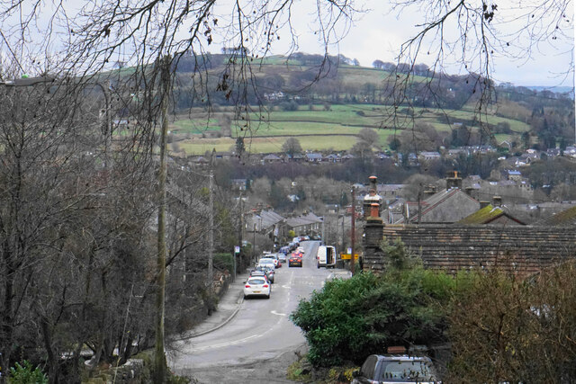
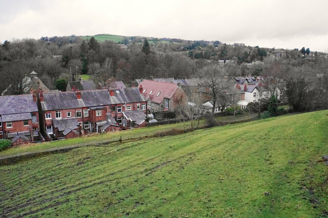
Ringstone Clough is a picturesque valley located in Cheshire, England. Nestled in the heart of the county, the clough is known for its natural beauty and tranquil atmosphere. The valley is situated near the town of Macclesfield and is easily accessible for visitors from nearby areas.
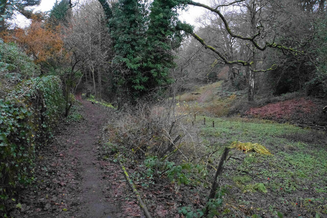
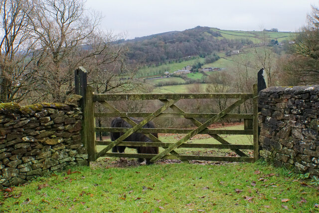
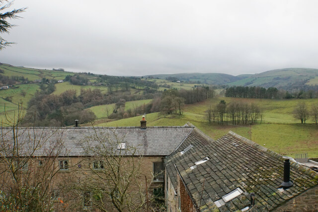
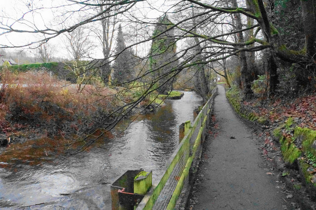
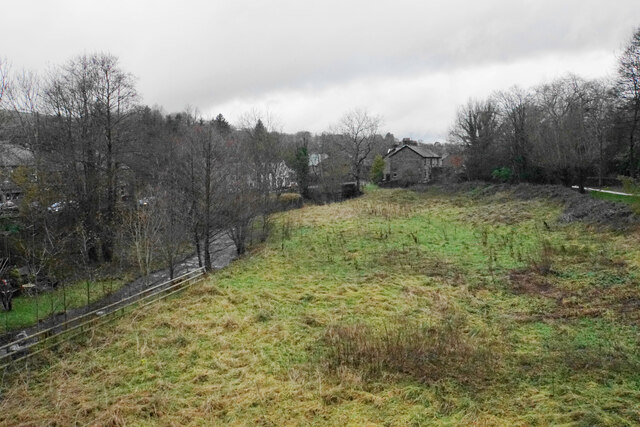
The landscape of Ringstone Clough is characterized by rolling hills, dense woodlands, and a meandering stream that runs through the valley. The area is a haven for wildlife, with a diverse range of flora and fauna inhabiting the surroundings. Visitors can expect to see an array of bird species, including woodpeckers, kingfishers, and various songbirds.
The clough offers a variety of walking trails, allowing visitors to explore the scenic surroundings at their own pace. The pathways wind through the woodland, offering breathtaking views of the valley and its surrounding countryside. The area is popular with both avid walkers and casual strollers, providing an opportunity for all to connect with nature.
In addition to its natural beauty, Ringstone Clough also has historical significance. The valley was once home to a thriving textile industry, with several mills dotted along the stream. While the mills are no longer in operation, remnants of this industrial past can still be seen, adding to the charm and character of the area.
Overall, Ringstone Clough offers a peaceful retreat from the hustle and bustle of everyday life. Whether it's enjoying a leisurely walk, observing wildlife, or simply taking in the breathtaking scenery, visitors to this Cheshire valley are sure to be captivated by its natural splendor.
If you have any feedback on the listing, please let us know in the comments section below.
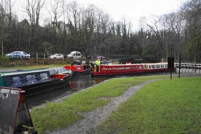
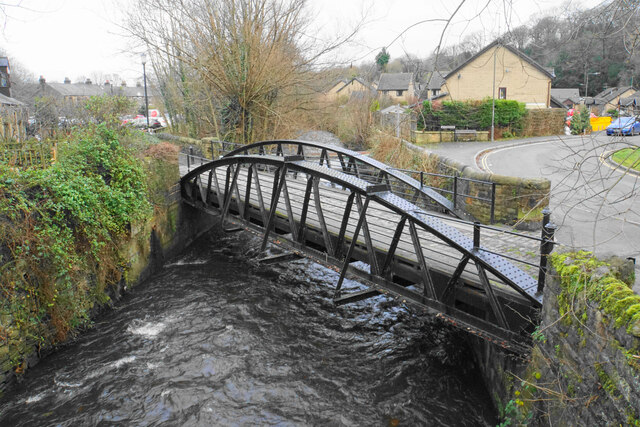
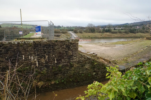
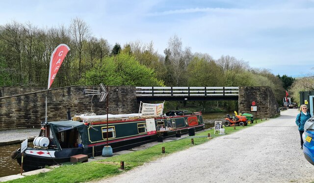
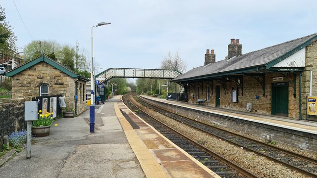
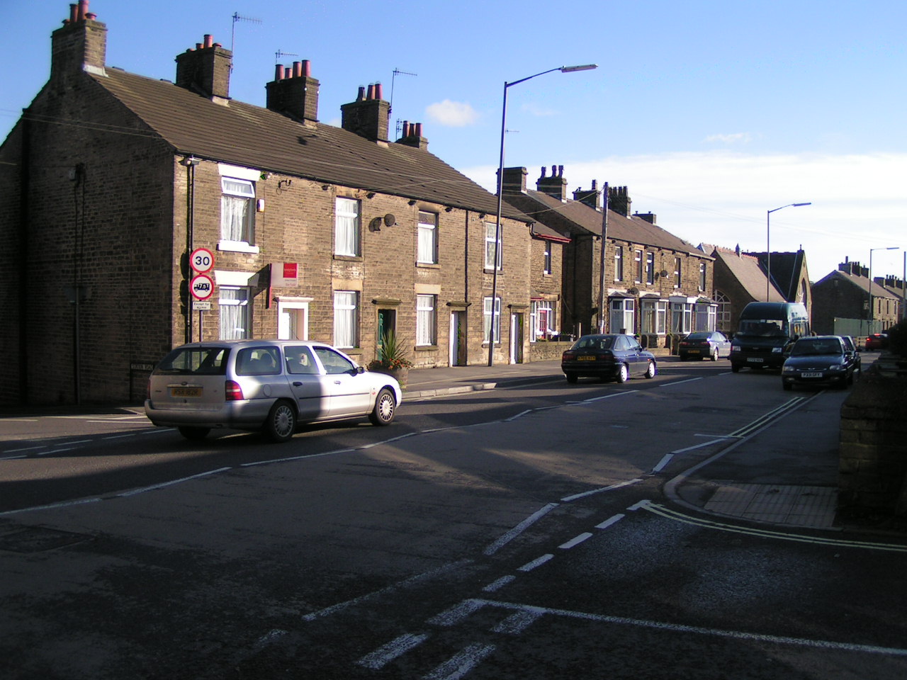
Ringstone Clough Images
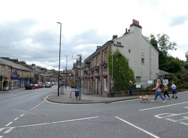
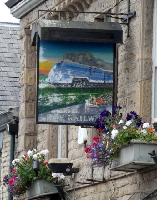
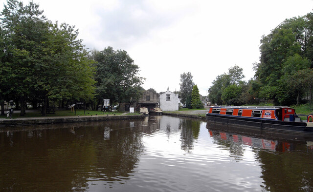
Images are sourced within 2km of 53.338593/-1.989538 or Grid Reference SK0082. Thanks to Geograph Open Source API. All images are credited.
Ringstone Clough is located at Grid Ref: SK0082 (Lat: 53.338593, Lng: -1.989538)
Administrative County: Derbyshire
District: High Peak
Police Authority: Derbyshire
What 3 Words
///limelight.allies.jousting. Near Whaley Bridge, Derbyshire
Nearby Locations
Related Wikis

Whaley Bridge
Whaley Bridge () is a town and civil parish in the High Peak district of Derbyshire, England. It is situated on the River Goyt, 16 miles (26 km) south...

Whaley Bridge railway station
Whaley Bridge railway station serves the Peak District town of Whaley Bridge in Derbyshire, England. The station is on the Manchester-Buxton Line 16+1...
Furness Vale
Furness Vale is a village in the High Peak district of Derbyshire, England, between New Mills and Whaley Bridge. It is bisected by the A6 road and the...
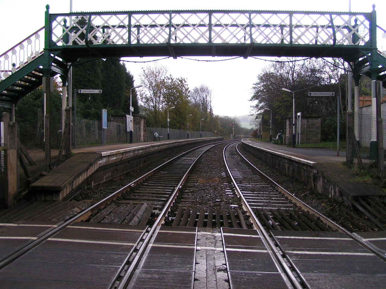
Furness Vale railway station
Furness Vale railway station in Derbyshire, England, is 15+1⁄4 miles (24.5 km) south east of Manchester Piccadilly on the Manchester to Buxton line and...
Nearby Amenities
Located within 500m of 53.338593,-1.989538Have you been to Ringstone Clough?
Leave your review of Ringstone Clough below (or comments, questions and feedback).