Hockerley
Settlement in Cheshire High Peak
England
Hockerley
Hockerley is a small village located in the county of Cheshire, England. Situated in the northwest part of the country, Hockerley is nestled amidst the scenic countryside and offers a peaceful and idyllic setting. The village is situated approximately 10 miles south of the city of Chester and 15 miles east of Wrexham.
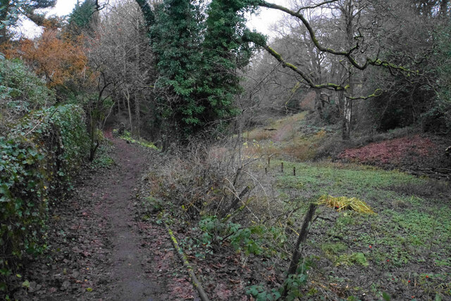
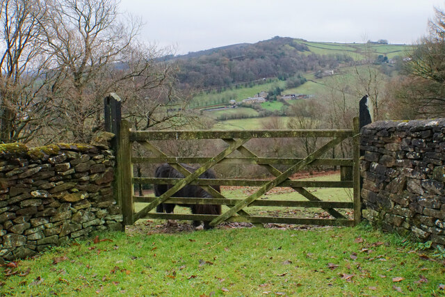
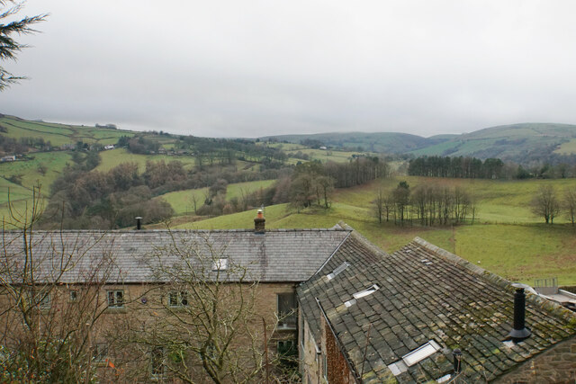
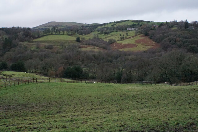
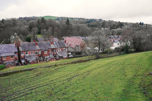
Hockerley is known for its picturesque surroundings, with rolling hills, lush green fields, and charming rural landscapes. The village itself is relatively small, with a population of around 500 residents. It retains a close-knit community feel, and the locals are known for their friendliness and welcoming nature.
In terms of amenities, Hockerley has a few essential facilities to cater to its residents. These include a local village hall, which serves as a hub for community events and activities. The village also has a primary school, providing education to the local children.
For those seeking outdoor activities, Hockerley is surrounded by beautiful countryside, offering ample opportunities for walking, cycling, and exploring nature. The village is also conveniently located near the Delamere Forest, a popular destination for outdoor enthusiasts.
Transportation in Hockerley predominantly relies on private vehicles, as public transportation options are limited. However, the village's proximity to major roads, such as the A41 and A55, provides easy access to nearby towns and cities.
Overall, Hockerley is a charming rural village that offers a tranquil and serene lifestyle amidst the stunning natural beauty of Cheshire.
If you have any feedback on the listing, please let us know in the comments section below.
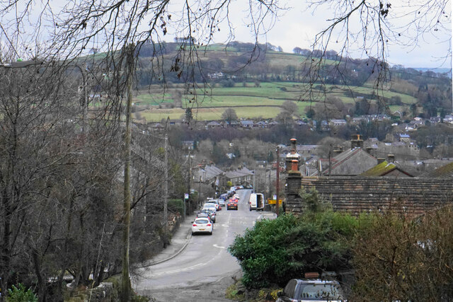
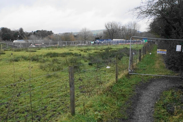
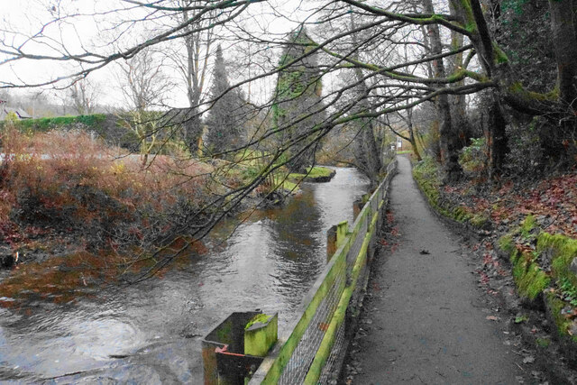
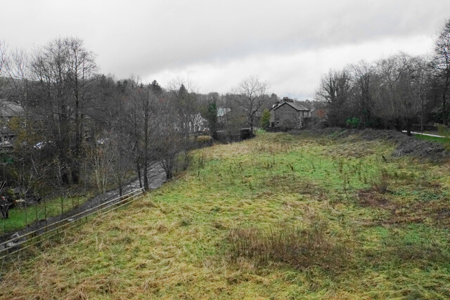
Hockerley Images
Images are sourced within 2km of 53.335465/-1.9885927 or Grid Reference SK0082. Thanks to Geograph Open Source API. All images are credited.
Hockerley is located at Grid Ref: SK0082 (Lat: 53.335465, Lng: -1.9885927)
Administrative County: Derbyshire
District: High Peak
Police Authority: Derbyshire
What 3 Words
///himself.pinch.hypocrite. Near Whaley Bridge, Derbyshire
Nearby Locations
Related Wikis

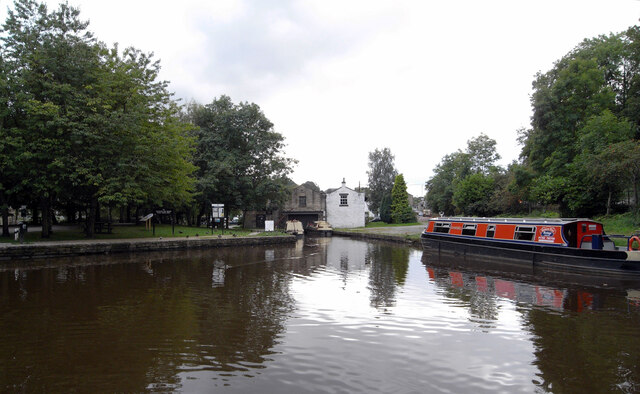
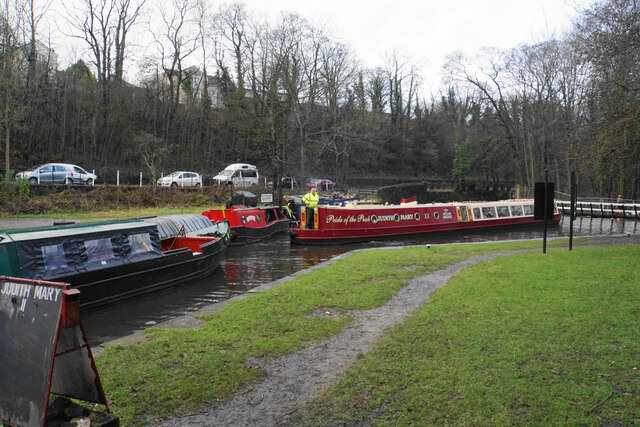
Whaley Bridge
Whaley Bridge () is a town and civil parish in the High Peak district of Derbyshire, England. It is situated on the River Goyt, 16 miles (26 km) south...

Whaley Bridge railway station
Whaley Bridge railway station serves the Peak District town of Whaley Bridge in Derbyshire, England. The station is on the Manchester-Buxton Line 16+1...

Buxton Road Bridge
Buxton Road Bridge is a railway bridge over the A5004 road in Whaley Bridge, in the High Peak district, in the county of Derbyshire, England. It carries...
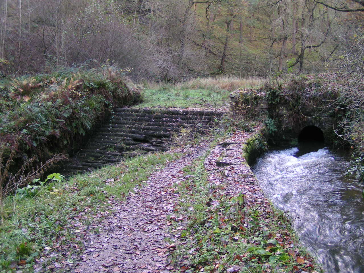
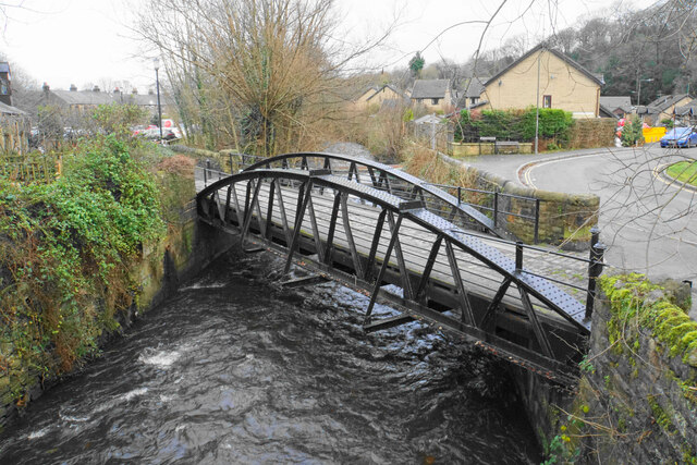
Todd Brook
Todd Brook is a small river running through the English counties of Cheshire and Derbyshire. The Brook rises beneath Shining Tor on the border between...

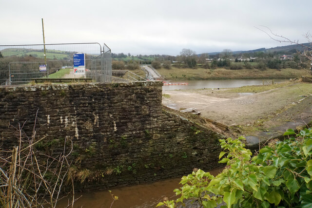
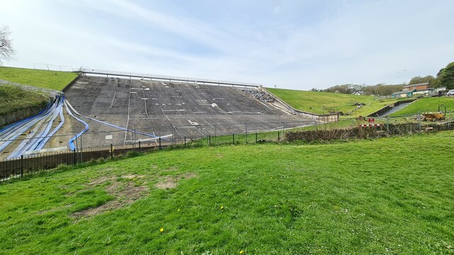
Toddbrook Reservoir
Toddbrook Reservoir, a feeder for the Peak Forest Canal, opened in 1838. It is above the town of Whaley Bridge in the High Peak area of Derbyshire, England...

St. James' Church, Buxworth
St. James' Church, Buxworth is a 19th-century Church of England church in the village of Buxworth, Derbyshire. The church dates back to 1874 and is a Grade...

Buxworth
Buxworth is a village in the High Peak of Derbyshire, England. The area, which was once an important centre for the limestone industry, became the terminus...

Peak Forest Tramway
The Peak Forest Tramway was an early horse- and gravity-powered industrial railway (or tramway) system in Derbyshire, England. Opened for trade on 31 August...
Nearby Amenities
Located within 500m of 53.335465,-1.9885927Have you been to Hockerley?
Leave your review of Hockerley below (or comments, questions and feedback).