Hockley
Settlement in Warwickshire
England
Hockley
Hockley is a small village located in Warwickshire, England. Situated approximately 4 miles southeast of the historic town of Stratford-upon-Avon, Hockley enjoys a peaceful rural setting amidst the picturesque Warwickshire countryside. The village is part of the Stratford-on-Avon district.
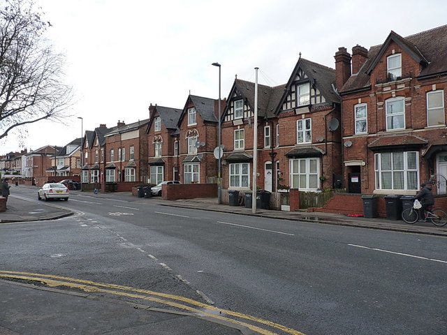
Hockley is known for its charming and idyllic character, with a population of around 400 residents. The village is mainly residential, consisting of a mix of period properties and modern houses. The architecture reflects the traditional English countryside style, with many buildings boasting thatched roofs and timber frames.
The village is surrounded by beautiful landscapes and open fields, providing ample opportunities for countryside walks and outdoor activities. Hockley is also home to a small community park, offering a green space for recreational purposes.
Despite its small size, Hockley is well-connected to nearby towns and cities. The A46 road runs nearby, providing easy access to Stratford-upon-Avon, Warwick, and the wider Midlands region. Additionally, the village benefits from regular bus services, ensuring convenient transportation options for residents and visitors.
Although Hockley does not have its own amenities, it benefits from being in close proximity to nearby towns that offer a range of services, including schools, medical facilities, and shopping centers. This makes Hockley an attractive residential option for those seeking a peaceful village lifestyle while still having access to urban conveniences.
If you have any feedback on the listing, please let us know in the comments section below.
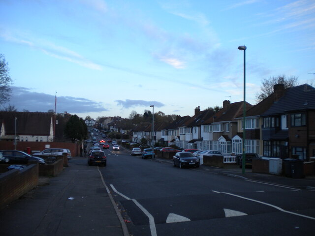
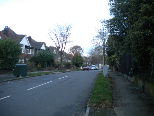
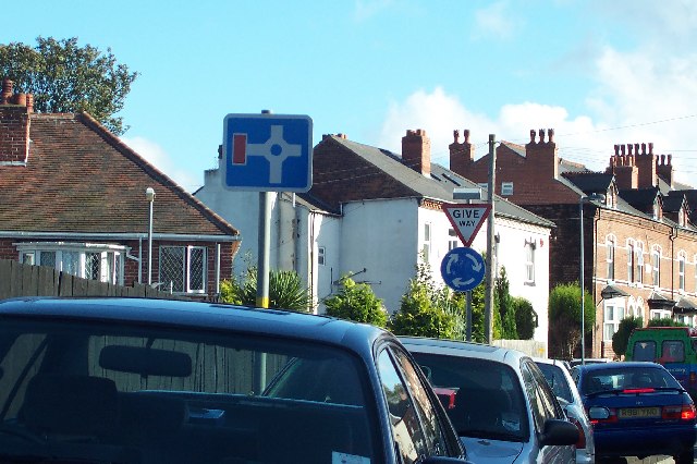
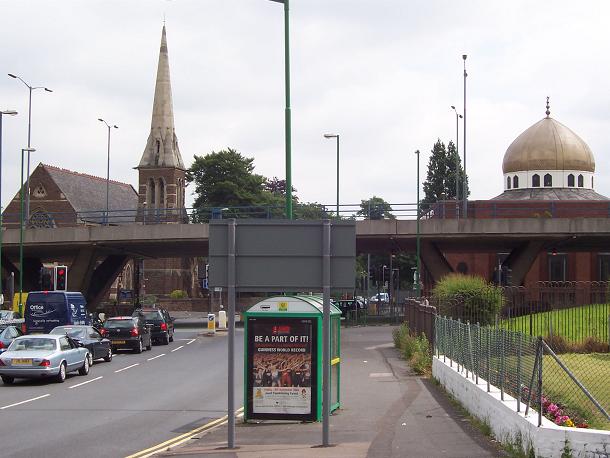
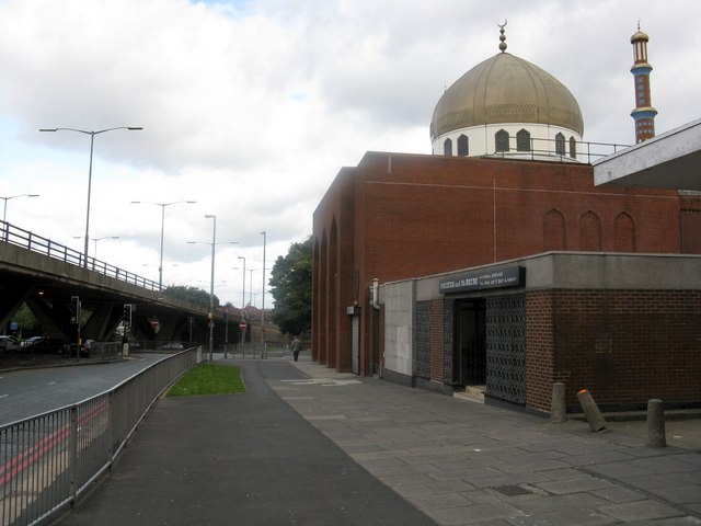
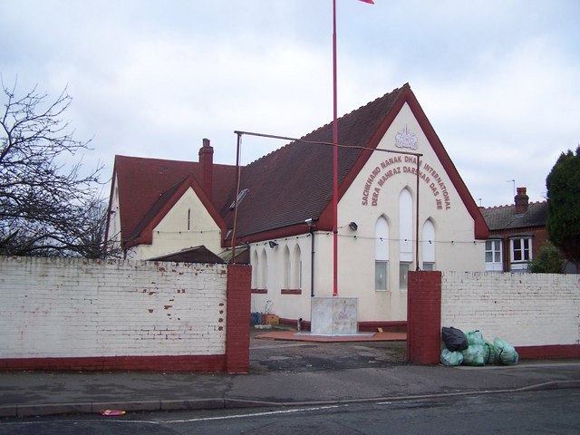
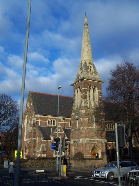
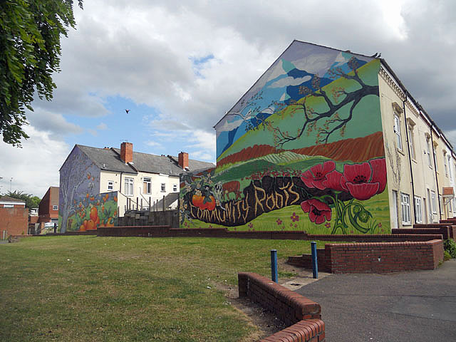
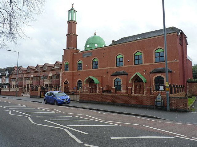
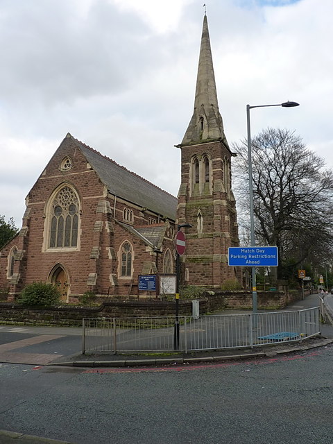
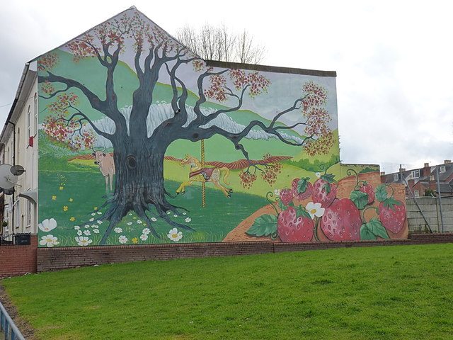
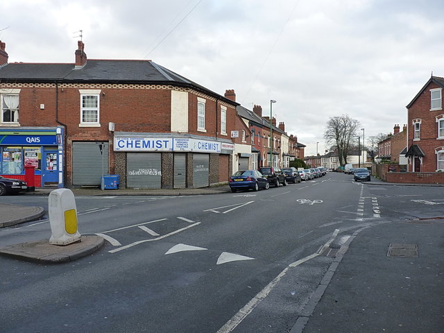
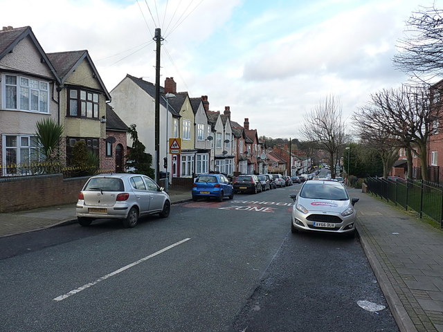
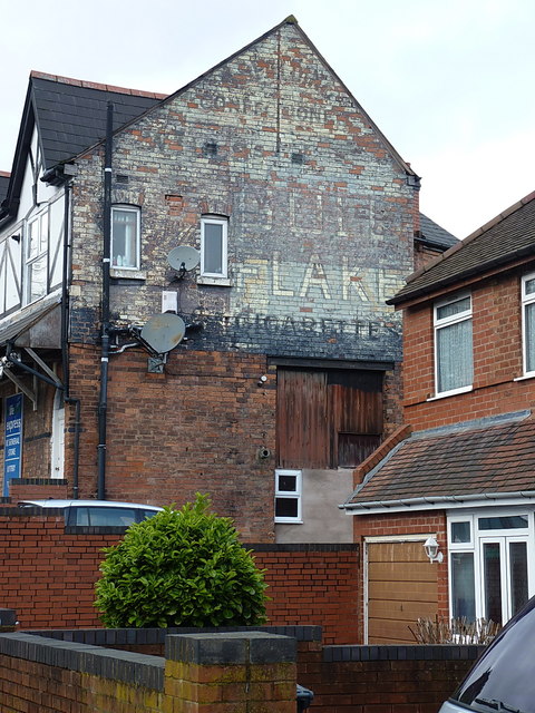
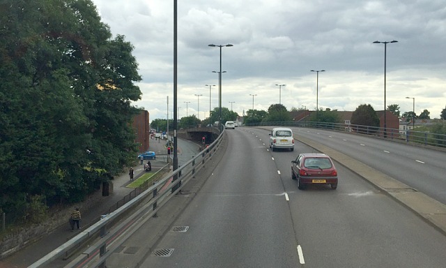
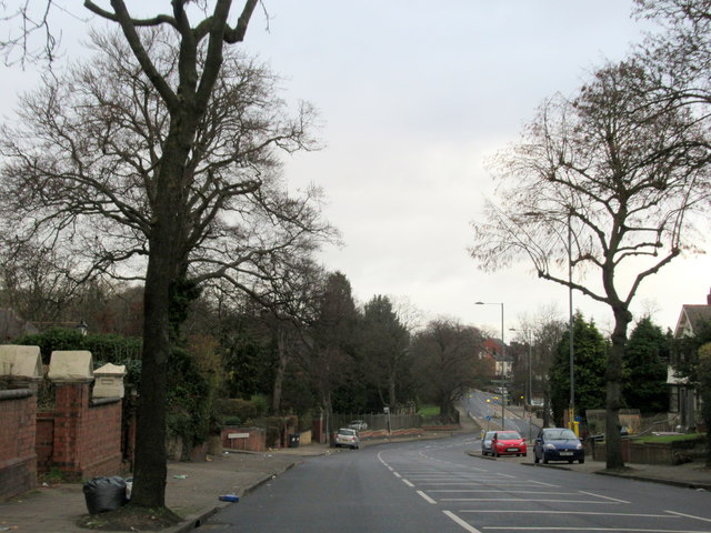
Hockley Images
Images are sourced within 2km of 52.492894/-1.9128525 or Grid Reference SP0688. Thanks to Geograph Open Source API. All images are credited.

Hockley is located at Grid Ref: SP0688 (Lat: 52.492894, Lng: -1.9128525)
Unitary Authority: Birmingham
Police Authority: West Midlands
What 3 Words
///giving.merit.tester. Near Hockley, West Midlands
Nearby Locations
Related Wikis

Hockley Flyover murals
The Hockley Flyover murals are a series of concrete sculptures by William Mitchell in Hockley, Birmingham, England, constructed in 1968. Since 2022 they...

Icknield Street School
Icknield Street School (grid reference SP057882), near the Hockley Flyover, north of the Jewellery Quarter, Birmingham, England, is a good example of a...

Key Hill Cemetery
Key Hill Cemetery, (OS grid reference SP059882), originally called Birmingham General Cemetery, is a cemetery in Hockley (the Jewellery Quarter), Birmingham...
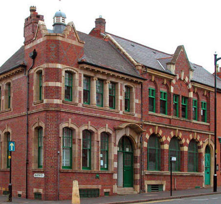
Museum of the Jewellery Quarter
The Museum of the Jewellery Quarter is a museum at 75-79 Vyse Street in Hockley, Birmingham, England. It is one of the nine museums run by the Birmingham...
Nearby Amenities
Located within 500m of 52.492894,-1.9128525Have you been to Hockley?
Leave your review of Hockley below (or comments, questions and feedback).