Clay Clough
Valley in Yorkshire
England
Clay Clough
Clay Clough is a picturesque village nestled in the heart of the Yorkshire Valley in Northern England. It is located in the county of Yorkshire, renowned for its stunning natural beauty and charming rural towns.
The village of Clay Clough is known for its idyllic countryside, with rolling hills, lush green meadows, and enchanting woodland areas. The area boasts an abundance of wildlife, making it a haven for nature lovers and outdoor enthusiasts. The meandering river that flows through the village adds to its scenic charm, providing a tranquil setting for leisurely walks or picnics by the water.
The architecture in Clay Clough is predominantly traditional, with many stone-built cottages and farmhouses that have stood for centuries. These buildings reflect the village's rich history and agricultural heritage. The local community takes pride in preserving the village's character and maintaining its timeless appeal.
The residents of Clay Clough are known for their warm hospitality and strong sense of community. The village has a close-knit population, where neighbors often come together for various events and celebrations throughout the year. The village pub, a focal point for socializing, serves as a gathering place for locals and tourists alike, offering a taste of Yorkshire's famous hospitality.
In terms of amenities, Clay Clough offers a range of services to cater to the needs of its residents. These include a village shop, a post office, and a primary school, ensuring that the community's daily requirements are met.
Visiting Clay Clough provides a chance to immerse oneself in the beauty of the Yorkshire Valley, experience its rich history, and enjoy the warmth and charm of its welcoming community.
If you have any feedback on the listing, please let us know in the comments section below.
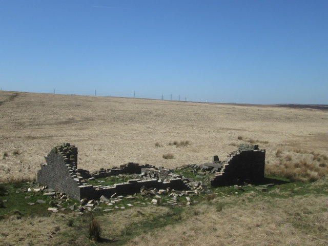
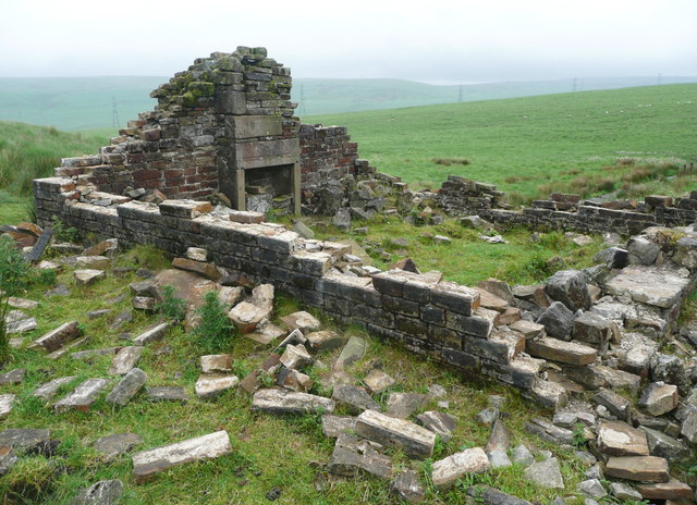
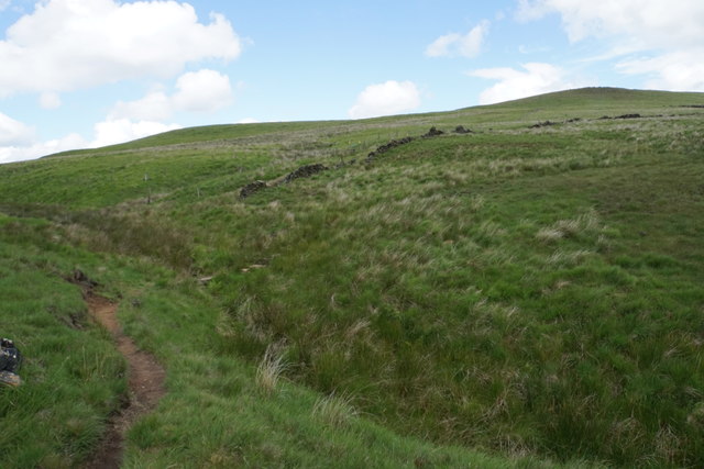
Clay Clough Images
Images are sourced within 2km of 53.670472/-1.989458 or Grid Reference SE0019. Thanks to Geograph Open Source API. All images are credited.


Clay Clough is located at Grid Ref: SE0019 (Lat: 53.670472, Lng: -1.989458)
Division: West Riding
Unitary Authority: Calderdale
Police Authority: West Yorkshire
What 3 Words
///wordplay.finally.probable. Near Ripponden, West Yorkshire
Nearby Locations
Related Wikis
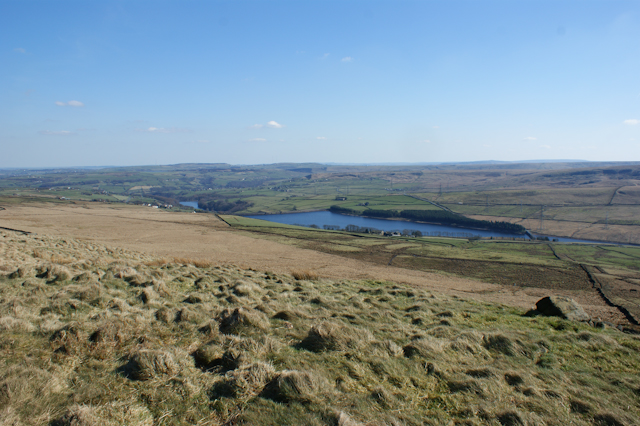
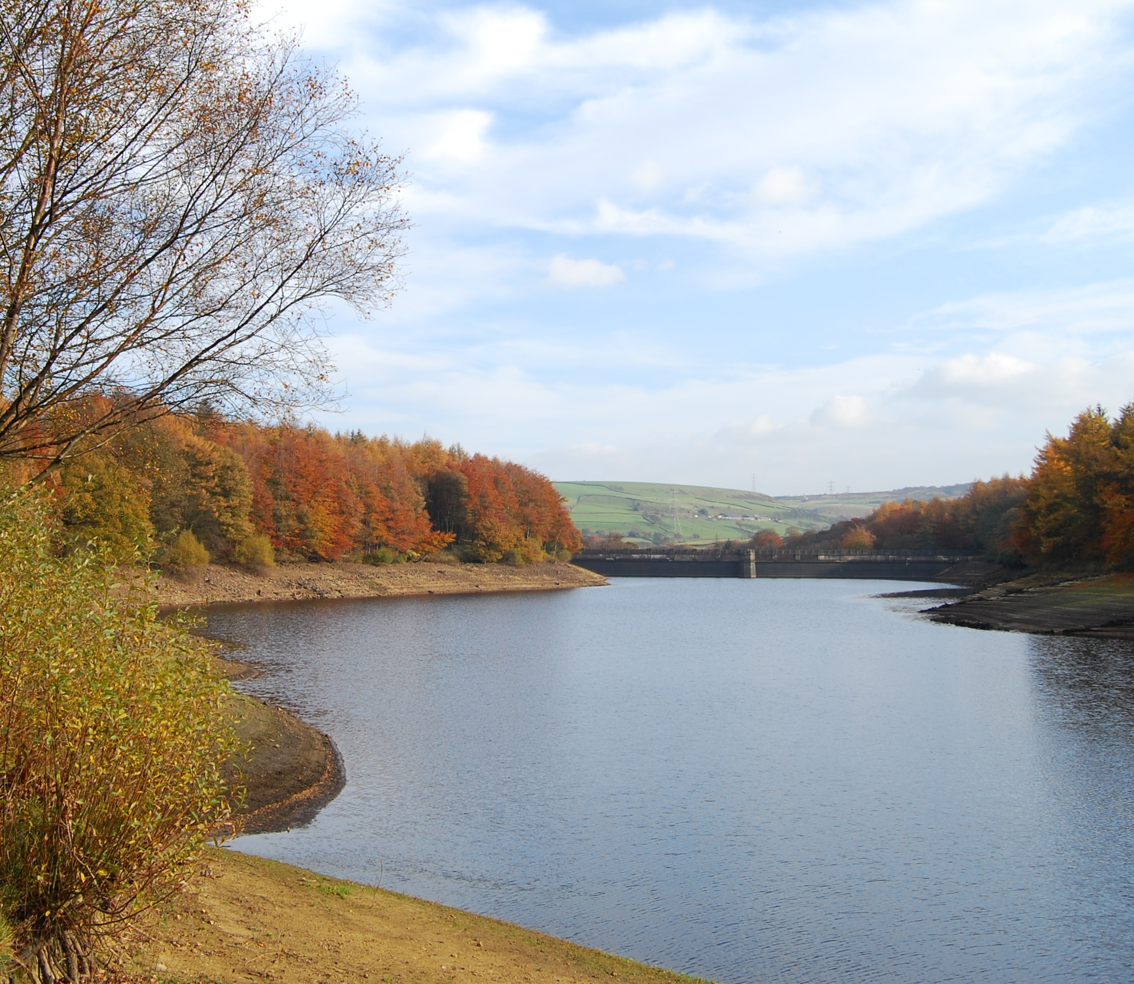
Baitings Reservoir
Baitings Reservoir is a large water supply reservoir operated by Yorkshire Water close to Ripponden in the West Yorkshire Pennines, England. It lies in...
Ryburn Reservoir
Ryburn Reservoir is a supply reservoir operated by Yorkshire Water close to Ripponden in the Yorkshire Pennines, England. It lies in the valley of the...
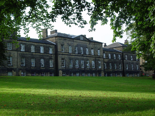
Rishworth School
Rishworth School is a co-educational independent school in the village of Rishworth, near Halifax, in West Yorkshire, England. With Heathfield, its junior...

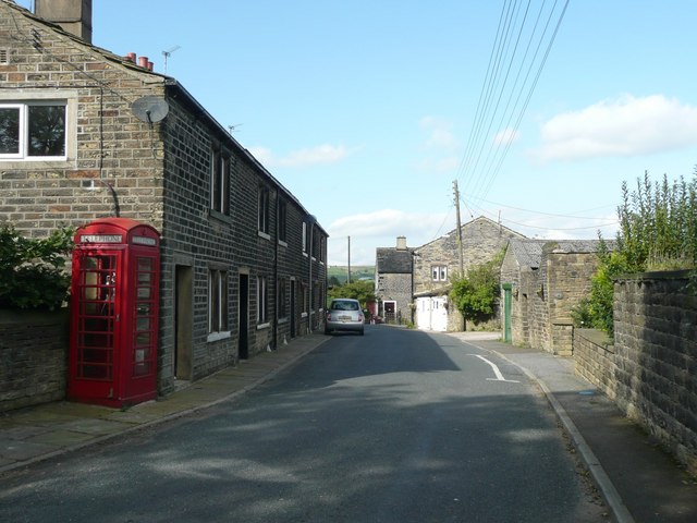
Rishworth
Rishworth is a village in Calderdale, West Yorkshire, England. Historically in the West Riding of Yorkshire, it has a small church, farms and schools...
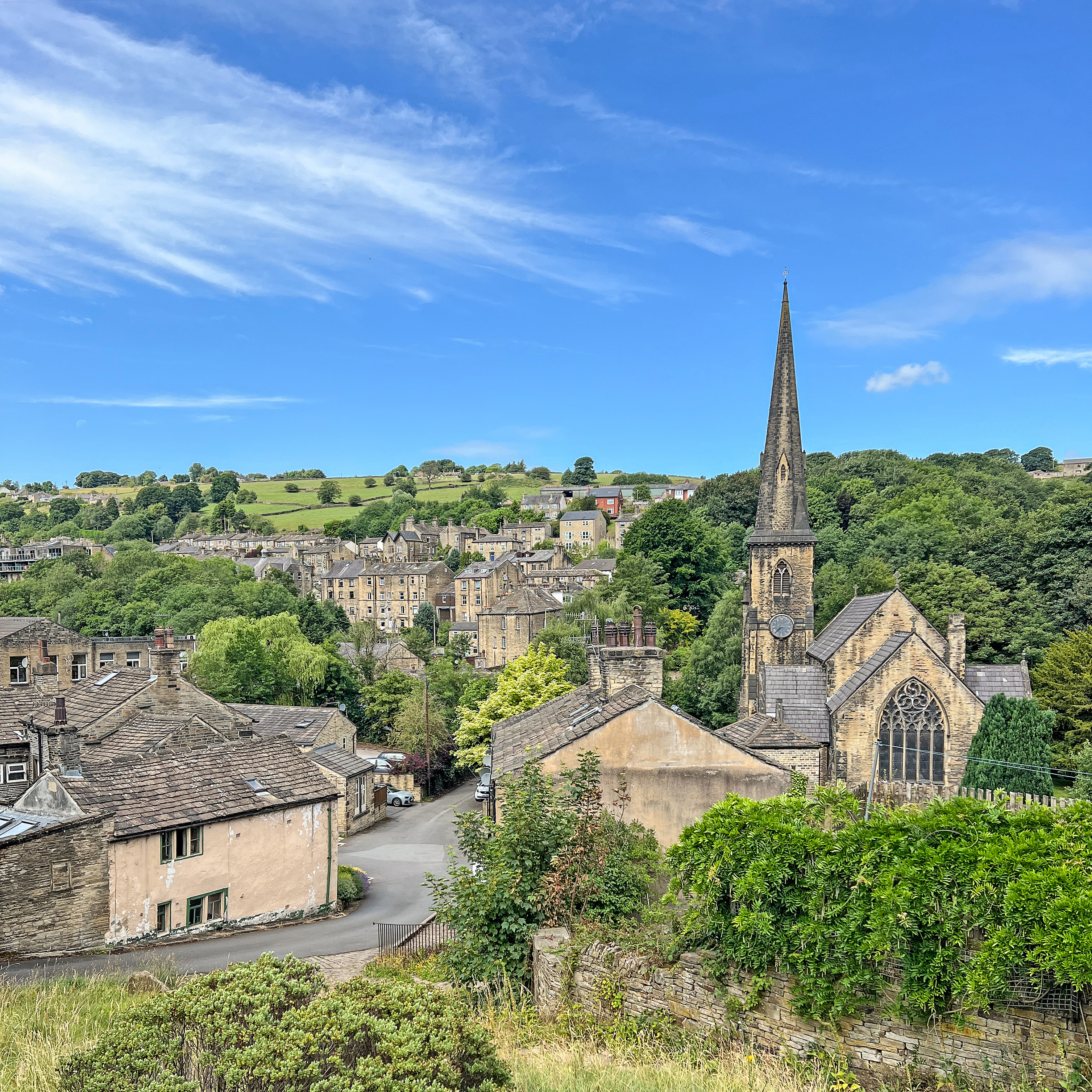
Ripponden
Ripponden is a village and civil parish on the River Ryburn near Halifax in West Yorkshire, England. Historically it was part of the West Riding of Yorkshire...

Rishworth railway station
Rishworth railway station was a railway station on the Rishworth branch, built by the Lancashire & Yorkshire Railway, to serve the village of Rishworth...

Cragg Vale
Cragg Vale is a village in Calderdale, West Yorkshire, England, located south of Mytholmroyd on the B6138 road which joins the A58 and the A646. The village...
Soyland
Soyland is a village in the civil parish of Ripponden, in Calderdale, West Yorkshire, England. It is just north of Ripponden off the A58 road and is 5...
Nearby Amenities
Located within 500m of 53.670472,-1.989458Have you been to Clay Clough?
Leave your review of Clay Clough below (or comments, questions and feedback).