Cock Hill Clough
Valley in Yorkshire
England
Cock Hill Clough
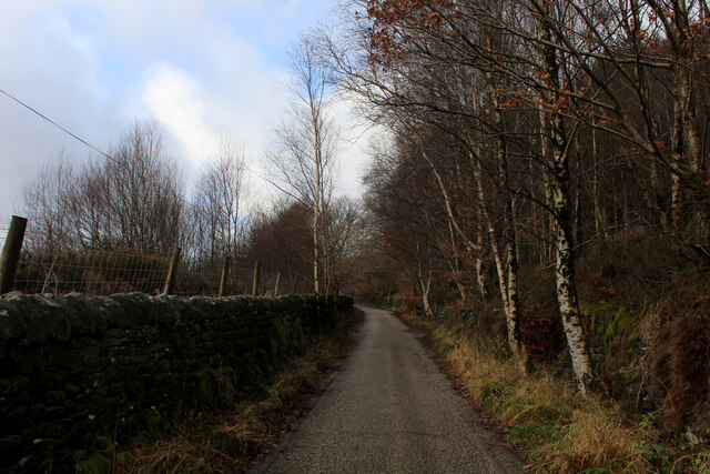
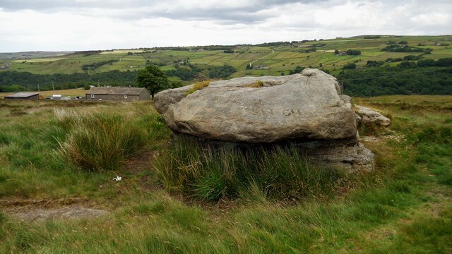
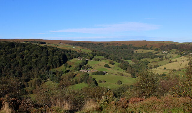
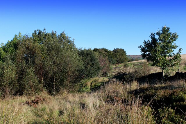
Cock Hill Clough is a picturesque valley located in Yorkshire, England. Nestled in the heart of the Pennines, this stunning landscape is a haven for nature enthusiasts and outdoor adventurers alike.
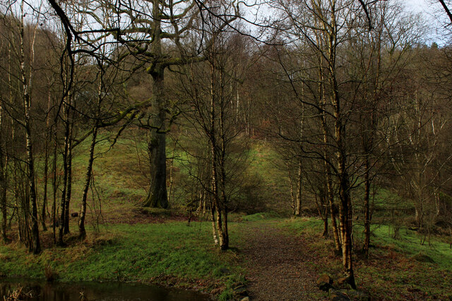
The valley is characterized by its rolling hills, dense woodlands, and meandering streams. It is a haven for wildlife, with a diverse range of flora and fauna calling this place home. The area is particularly renowned for its bird population, with species such as red kites, kestrels, and buzzards frequently spotted soaring above the valley.
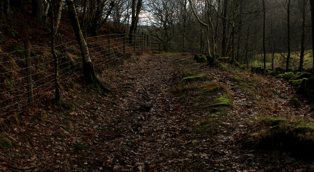
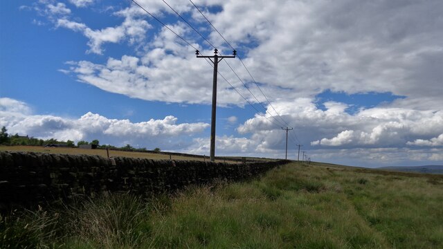
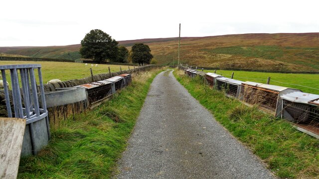
Cock Hill Clough offers a variety of walking trails, catering to all levels of fitness and ability. From leisurely strolls along the riverbanks to more challenging hikes up the hillsides, visitors are treated to breathtaking views at every turn. The valley also boasts several designated picnic areas, allowing visitors to relax and enjoy the tranquil surroundings.
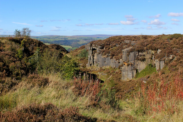
For those seeking a more adrenaline-fueled experience, Cock Hill Clough offers opportunities for rock climbing and abseiling. The craggy cliffs that line the valley provide the perfect challenge for thrill-seekers, with experienced guides and instructors available to ensure safety.
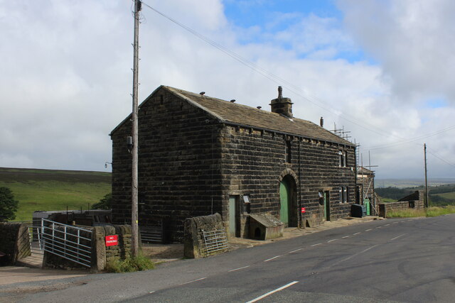
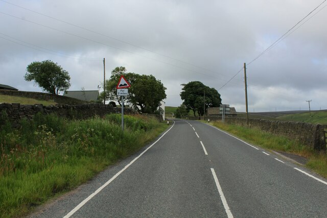
The valley is easily accessible by car, with ample parking available at designated areas. It is also well-connected by public transport, with a regular bus service running to and from nearby towns.
Cock Hill Clough is a hidden gem in Yorkshire, offering a peaceful retreat from the hustle and bustle of everyday life. Whether you are a nature lover, a keen hiker, or simply looking to escape into the great outdoors, this valley is sure to leave a lasting impression.
If you have any feedback on the listing, please let us know in the comments section below.
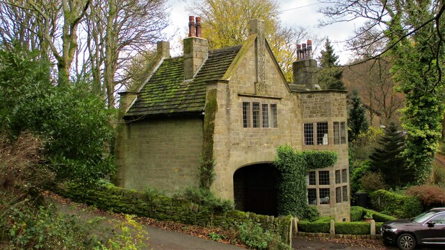
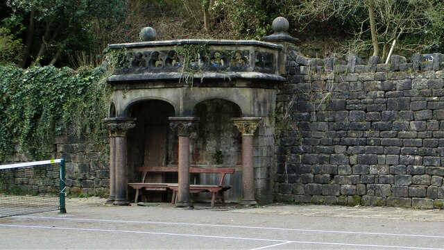
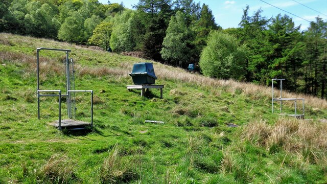
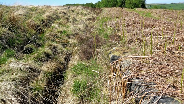
Cock Hill Clough Images
Images are sourced within 2km of 53.701642/-1.9891475 or Grid Reference SE0022. Thanks to Geograph Open Source API. All images are credited.
Cock Hill Clough is located at Grid Ref: SE0022 (Lat: 53.701642, Lng: -1.9891475)
Division: West Riding
Unitary Authority: Calderdale
Police Authority: West Yorkshire
What 3 Words
///backyards.vans.doped. Near Mytholmroyd, West Yorkshire
Nearby Locations
Related Wikis

Cragg Vale
Cragg Vale is a village in Calderdale, West Yorkshire, England, located south of Mytholmroyd on the B6138 road which joins the A58 and the A646. The village...

Upper Calder Valley
The Upper Calder Valley lies in West Yorkshire, in northern England, and covers the towns of Todmorden, Hebden Bridge, Mytholmroyd, Luddendenfoot, and...

Calderdale
Calderdale is a metropolitan borough of West Yorkshire, England, which had a population of 211,439. It takes its name from the River Calder, and dale,...
Boulderclough
Boulderclough is a small village in the Borough of Calderdale in West Yorkshire, England. The village is situated between Sowerby at the south and Mytholmroyd...

Scout Rock
Scout Rock (known locally as Scout Rocks), is a rock face, once a quarry, cut into a hill called Hathershelf Scout and is on the south side of the Upper...

Mytholmroyd railway station
Mytholmroyd railway station serves the communities of Mytholmroyd, Luddendenfoot, Midgley, Cragg Vale, and surrounding areas in West Yorkshire, England...
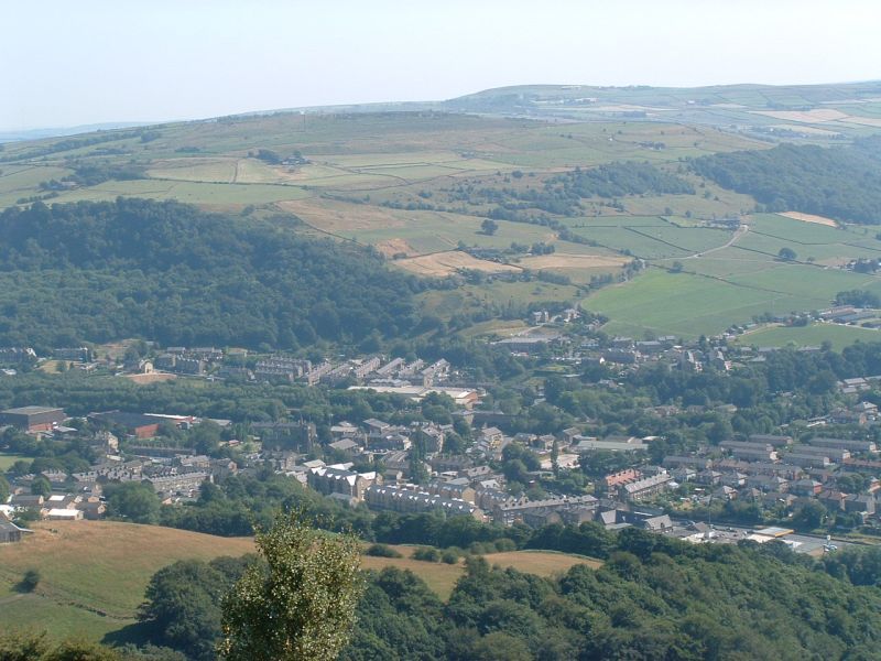
Mytholmroyd
Mytholmroyd (pronounced ) is a large village and former civil parish, now in the parish of Hebden Royd, in the Calderdale district, in West Yorkshire,...

Sowerby (UK Parliament constituency)
Sowerby () was a county constituency centred on the village of Sowerby in Calderdale, West Yorkshire. It returned one Member of Parliament (MP) to the...
Nearby Amenities
Located within 500m of 53.701642,-1.9891475Have you been to Cock Hill Clough?
Leave your review of Cock Hill Clough below (or comments, questions and feedback).