Cock Hill
Hill, Mountain in Yorkshire
England
Cock Hill
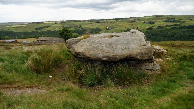
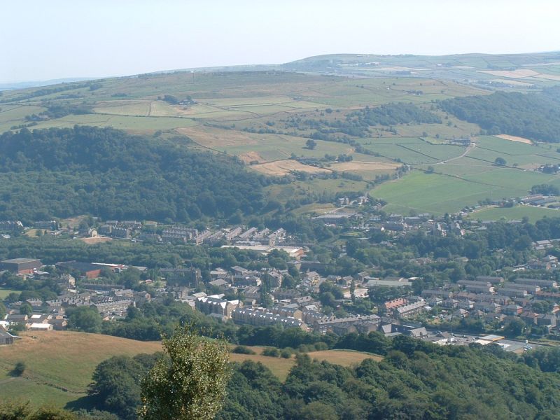
Cock Hill, located in the county of Yorkshire, is a prominent hill or mountain that forms part of the scenic landscape in this region of England. Standing at an elevation of approximately 397 meters (1302 feet), it offers breathtaking panoramic views of the surrounding countryside.
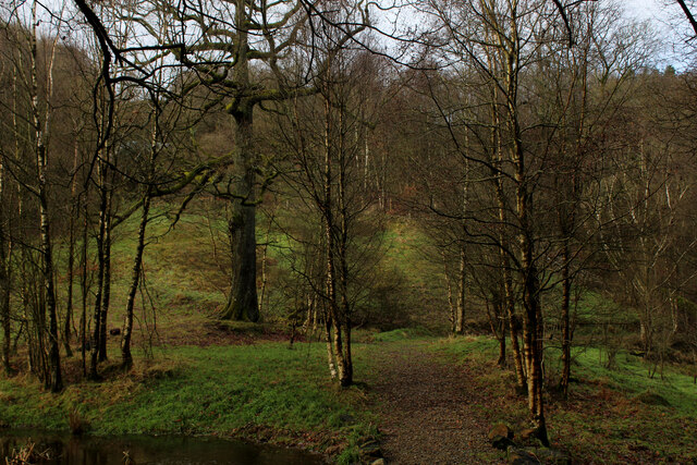
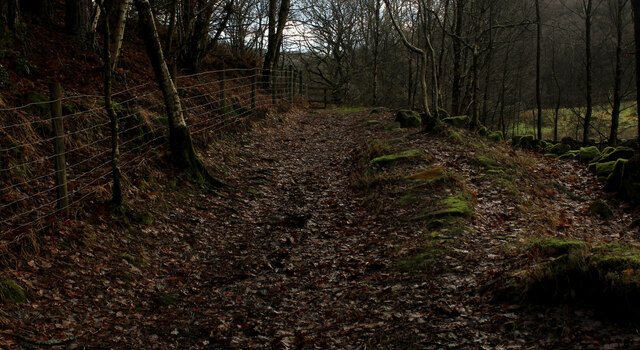
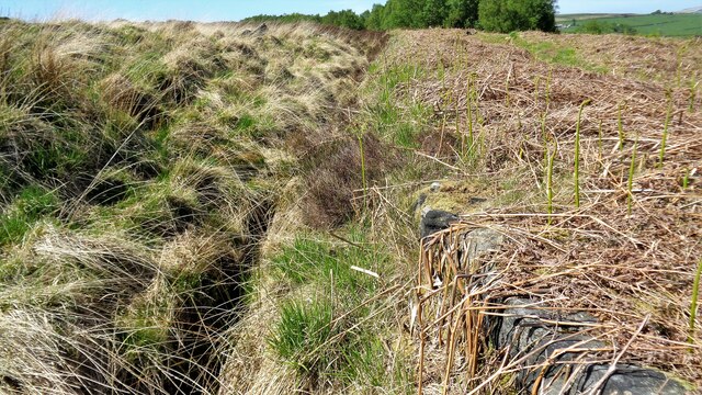
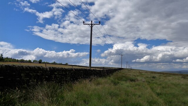
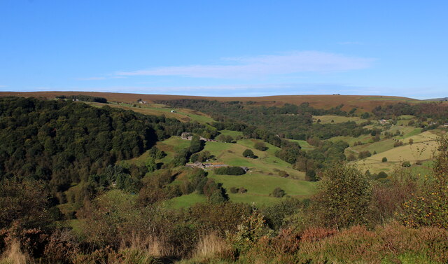
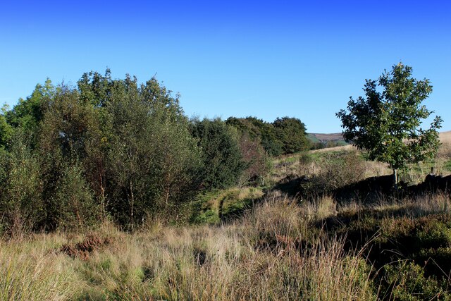
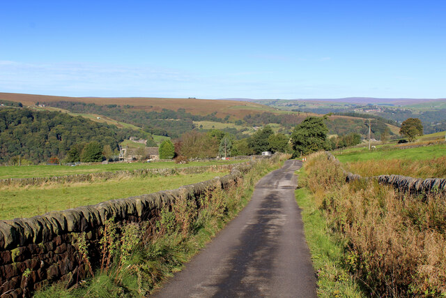
Situated in the northern part of Yorkshire, Cock Hill is renowned for its rugged terrain, characterized by steep slopes and a rocky surface. This makes it a popular destination for hiking and climbing enthusiasts, who are drawn to the challenge and adventure it presents. The hill is also home to a variety of flora and fauna, including heather, grasses, and a range of bird species, making it an attractive spot for nature lovers.
Cock Hill holds historical significance as well. It is believed to have been used as a strategic vantage point during various periods, including the Roman era, as evidenced by the remains of ancient fortifications found on its slopes. These remnants serve as a reminder of the hill's past and add to its allure for history enthusiasts.
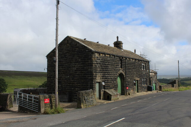
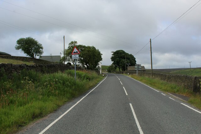
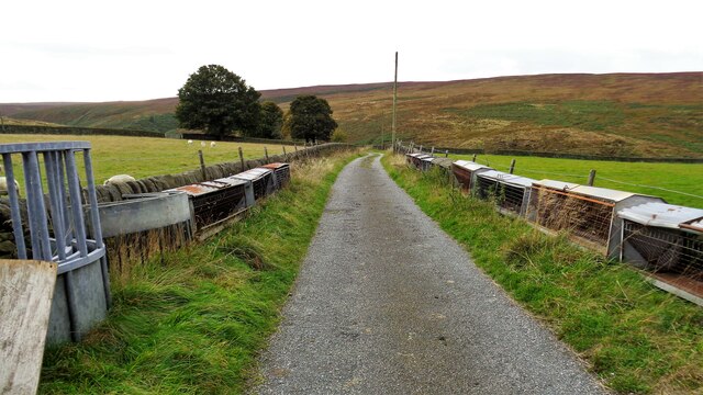
Access to Cock Hill is facilitated by a network of footpaths and trails, allowing visitors to explore and experience its natural beauty firsthand. The hill's location in the heart of Yorkshire also means that it is easily reachable from nearby towns and villages, making it a popular day trip destination for locals and tourists alike.
Overall, Cock Hill in Yorkshire offers a blend of natural beauty, historical significance, and recreational opportunities, making it a captivating destination for those seeking outdoor adventures and a deeper connection with nature.
If you have any feedback on the listing, please let us know in the comments section below.
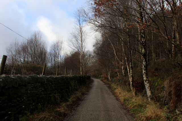
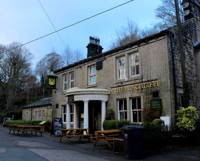
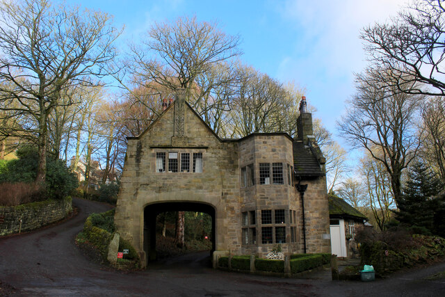
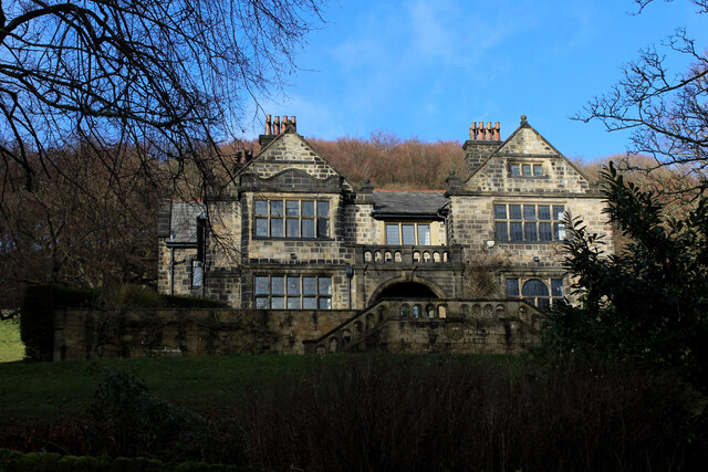
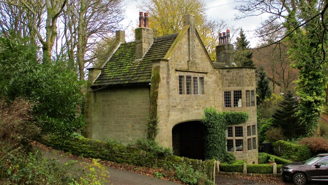
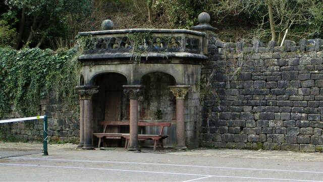
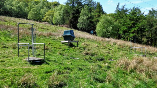
Cock Hill Images
Images are sourced within 2km of 53.699863/-1.9893903 or Grid Reference SE0022. Thanks to Geograph Open Source API. All images are credited.
Cock Hill is located at Grid Ref: SE0022 (Lat: 53.699863, Lng: -1.9893903)
Division: West Riding
Unitary Authority: Calderdale
Police Authority: West Yorkshire
What 3 Words
///beanbag.monkey.frog. Near Mytholmroyd, West Yorkshire
Nearby Locations
Related Wikis

Cragg Vale
Cragg Vale is a village in Calderdale, West Yorkshire, England, located south of Mytholmroyd on the B6138 road which joins the A58 and the A646. The village...

Upper Calder Valley
The Upper Calder Valley lies in West Yorkshire, in northern England, and covers the towns of Todmorden, Hebden Bridge, Mytholmroyd, Luddendenfoot, and...

Calderdale
Calderdale is a metropolitan borough of West Yorkshire, England, which had a population of 211,439. It takes its name from the River Calder, and dale,...
Boulderclough
Boulderclough is a small village in the Borough of Calderdale in West Yorkshire, England. The village is situated between Sowerby at the south and Mytholmroyd...

Scout Rock
Scout Rock (known locally as Scout Rocks), is a rock face, once a quarry, cut into a hill called Hathershelf Scout and is on the south side of the Upper...

Mytholmroyd railway station
Mytholmroyd railway station serves the communities of Mytholmroyd, Luddendenfoot, Midgley, Cragg Vale, and surrounding areas in West Yorkshire, England...
Mytholmroyd
Mytholmroyd (pronounced ) is a large village and former civil parish, now in the parish of Hebden Royd, in the Calderdale district, in West Yorkshire,...

Sowerby (UK Parliament constituency)
Sowerby () was a county constituency centred on the village of Sowerby in Calderdale, West Yorkshire. It returned one Member of Parliament (MP) to the...
Nearby Amenities
Located within 500m of 53.699863,-1.9893903Have you been to Cock Hill?
Leave your review of Cock Hill below (or comments, questions and feedback).