Bank Top Wood

Wood, Forest in Yorkshire

England

Bank Top Wood

Large Outbuilding beside Pasture House The outbuilding is larger than the farmhouse itself, which is concealed from view behind this bulky edifice.
The complex is located beside Withens Clough Reservoir, and seems to be the only sign of habitation in the vicinity.
The outbuilding appears to be a converted barn in need of some repair.
Passed by on the Calderdale Way long distance footpath.
Large Outbuilding beside Pasture House Credit: Chris Heaton

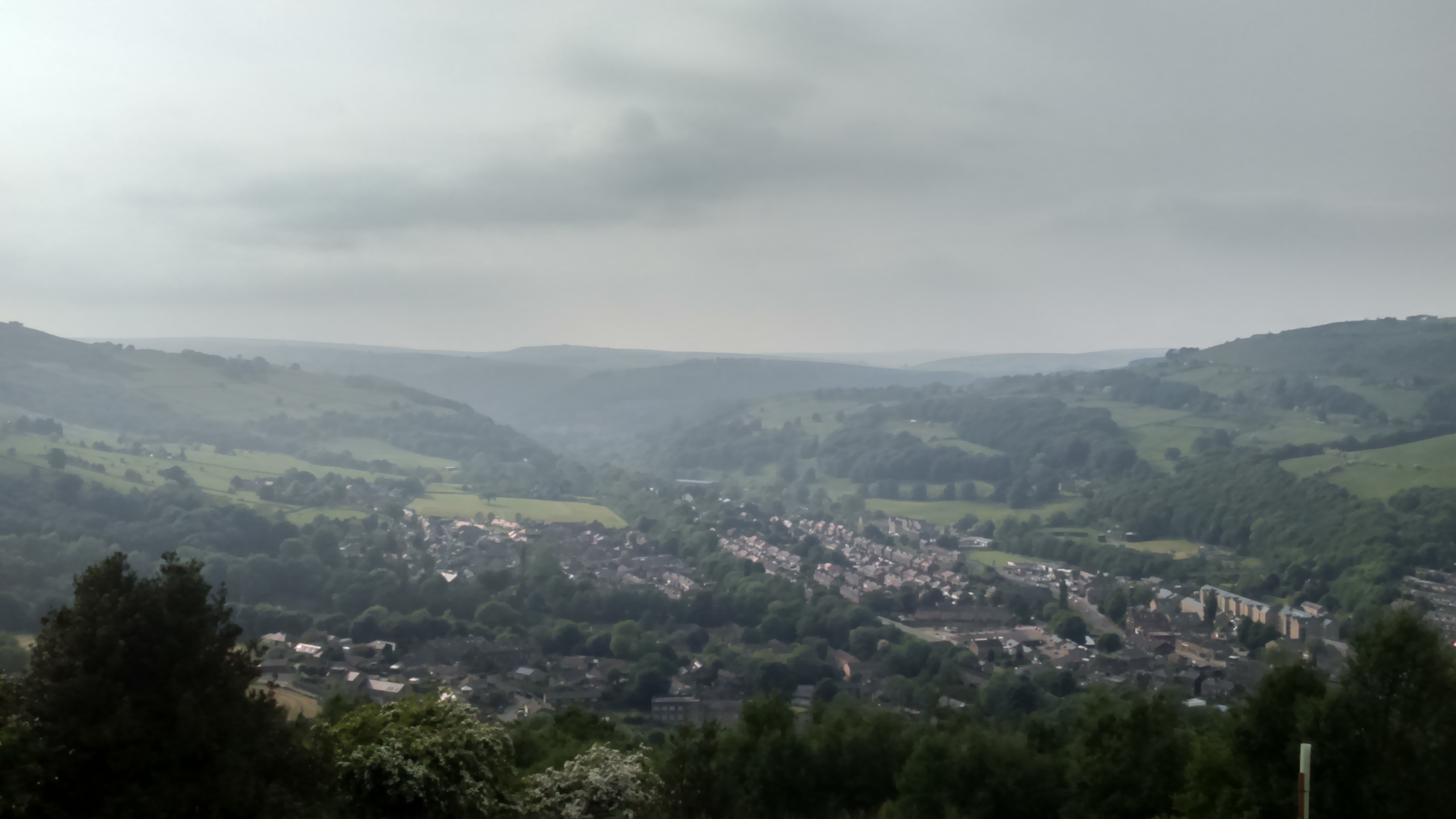
Bank Top Wood, located in Yorkshire, is a picturesque woodland area renowned for its natural beauty and diverse wildlife. Spanning over a vast expanse of land, this enchanting forest is a popular destination for nature enthusiasts, hikers, and photographers alike.

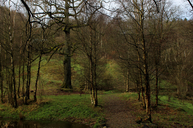
The wood is primarily composed of a mixture of deciduous and coniferous trees, creating a unique and visually stunning landscape throughout the seasons. In spring, the forest bursts into life with vibrant blossoms and fresh green foliage, while autumn paints the wood in a rich tapestry of warm hues, as the leaves change color and carpet the forest floor.

Wandering through Bank Top Wood, visitors can expect to encounter a wide array of flora and fauna. The woodland provides a habitat for an abundance of wildlife, including deer, foxes, rabbits, various bird species, and an impressive assortment of insects and butterflies. The serene atmosphere and peaceful surroundings make it an ideal spot for birdwatching and wildlife photography.

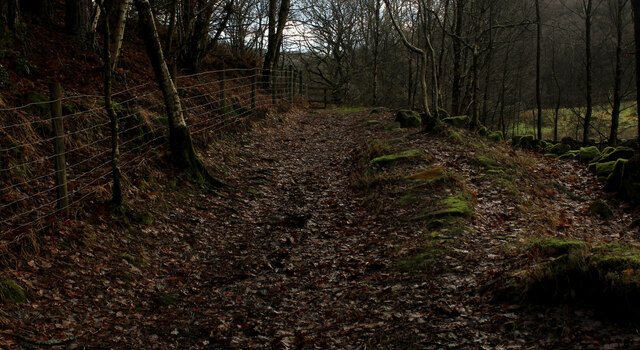
Tranquil walking trails wind their way through the forest, offering visitors the opportunity to immerse themselves in the natural beauty of the wood. Along the way, there are designated picnic areas where visitors can relax and enjoy a packed lunch amidst the serene surroundings.

Bank Top Wood is not only a haven for wildlife and nature lovers but also serves as an educational resource. The wood offers various educational programs and guided nature walks, providing insight into the local ecosystem and conservation efforts.

Overall, Bank Top Wood is a captivating woodland oasis that showcases the natural splendor of Yorkshire. With its diverse flora and fauna, scenic trails, and educational opportunities, it truly is a gem for anyone seeking to connect with nature.

If you have any feedback on the listing, please let us know in the comments section below.

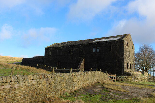
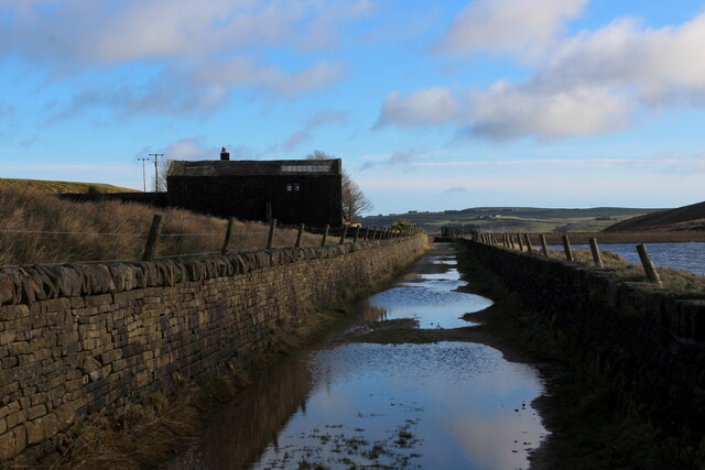
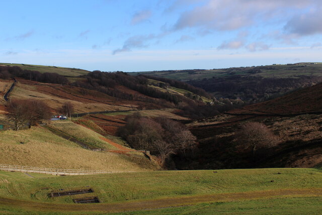
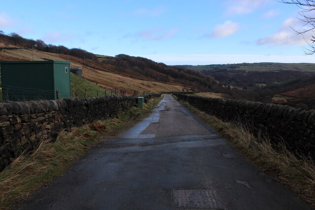
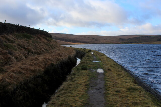
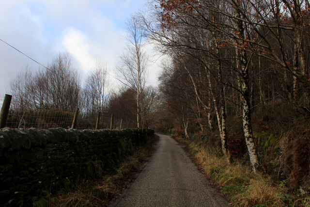
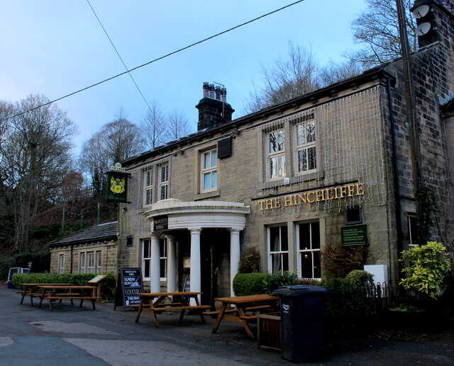
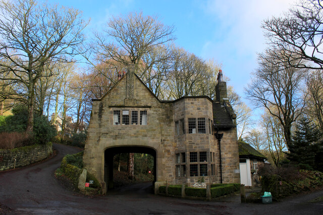
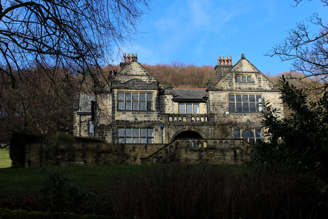
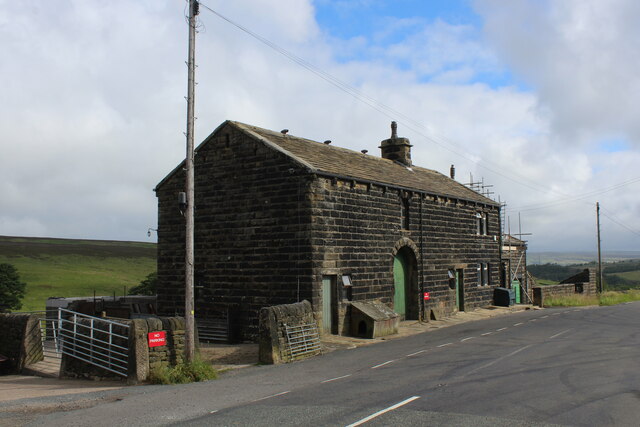
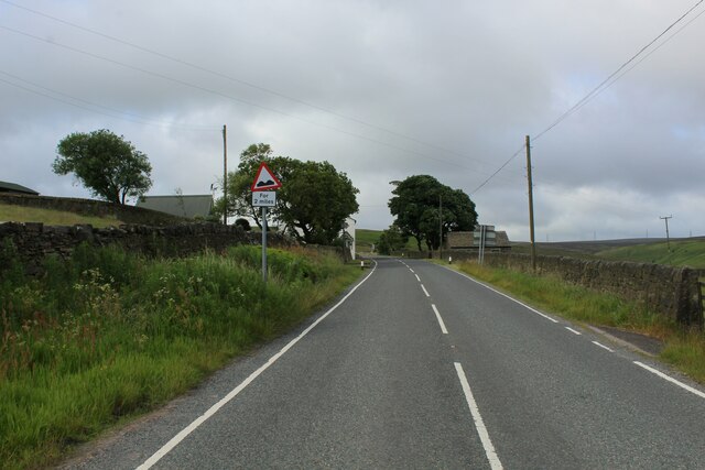
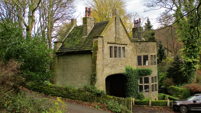
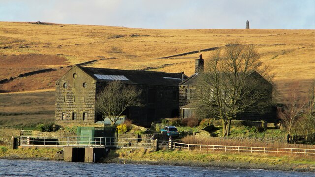
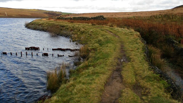
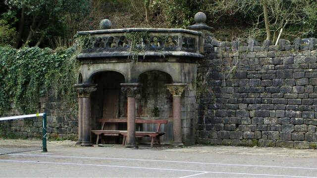
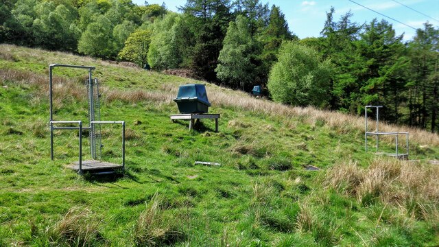
Bank Top Wood Images

Images are sourced within 2km of 53.7022/-1.9979782 or Grid Reference SE0022. Thanks to Geograph Open Source API. All images are credited.

Large Outbuilding beside Pasture House The outbuilding is larger than the farmhouse itself, which is concealed from view behind this bulky edifice.
The complex is located beside Withens Clough Reservoir, and seems to be the only sign of habitation in the vicinity.
The outbuilding appears to be a converted barn in need of some repair.
Passed by on the Calderdale Way long distance footpath.
Large Outbuilding beside Pasture House
The outbuilding is larger than the farmhouse itself, which is concealed from view behind this bulky edifice. The complex is located beside Withens Clough Reservoir, and seems to be the only sign of habitation in the vicinity. The outbuilding appears to be a converted barn in need of some repair. Passed by on the Calderdale Way long distance footpath.
Flooded New Withens Road Approaching Pasture House on the Calderdale Way long distance footpath beside Withens Clough Reservoir
Flooded New Withens Road
Approaching Pasture House on the Calderdale Way long distance footpath beside Withens Clough Reservoir
View from Atop the Dam Wall of Withens Clough Reservoir Looking down Withens Clough towards Cragg Vale
View from Atop the Dam Wall of Withens Clough Reservoir
Looking down Withens Clough towards Cragg Vale
Rudd Lane Access lane heading away from Withens Clough Reservoir towards Cragg Vale.
Adopted by the Calderdale Way long distance footpath.
Rudd Lane
Access lane heading away from Withens Clough Reservoir towards Cragg Vale. Adopted by the Calderdale Way long distance footpath.
Beside Withens Clough Reservoir
On Rudd Lane Heading up towards Withens Clough Reservoir from Cragg Vale, adopted by the Calderdale Way.
On Rudd Lane
Heading up towards Withens Clough Reservoir from Cragg Vale, adopted by the Calderdale Way.
The Hinchliffe Arms Local watering hole in Cragg Vale, passed by on the Calderdale Way
The Hinchliffe Arms
Local watering hole in Cragg Vale, passed by on the Calderdale Way
The Lodge, Cragg Vale Former gatehouse for Cragg Hall, and Grade II Listed Building
The Lodge, Cragg Vale
Former gatehouse for Cragg Hall, and Grade II Listed Building
Old Cragg Hall
Old Cragg Hall
Footpath beside Round Hill Wood (1) Heading towards Cragg Vale
Footpath beside Round Hill Wood (1)
Heading towards Cragg Vale
Footpath beside Round Hill Wood (2) Heading away from Cragg Vale
Footpath beside Round Hill Wood (2)
Heading away from Cragg Vale
Sykes Gate Farm Laithe style farm located at the junction of Blackstone Edge Road with New Road.
Sykes Gate Farm
Laithe style farm located at the junction of Blackstone Edge Road with New Road.
Blackstone Edge Road Section of the B6138 between Mytholmroyd in Calderdale and the A58 at Blackstone Reservoir.
The road climbs unremittingly for over 5 miles without a pause - making it the longest road ascent in England, thus attracting cyclists from far and wide. At this point the three mile mark has been passed, with legs starting to turn to jelly for most of the two wheeler fraternity.
Blackstone Edge Road
Section of the B6138 between Mytholmroyd in Calderdale and the A58 at Blackstone Reservoir. The road climbs unremittingly for over 5 miles without a pause - making it the longest road ascent in England, thus attracting cyclists from far and wide. At this point the three mile mark has been passed, with legs starting to turn to jelly for most of the two wheeler fraternity.
The Lodge An arts & crafts style gatehouse for the now demolished New Cragg Hall
The Lodge
An arts & crafts style gatehouse for the now demolished New Cragg Hall
The Pasture By the side of Withins Clough Reservoir, with the top of Stoodley Pike on the skyline
The Pasture
By the side of Withins Clough Reservoir, with the top of Stoodley Pike on the skyline
Permissive Path at Withins Clough Reservoir The reservoir appears to have a series of metal piles at this point with a probable settlement pond on the other side of the catchwater drain. Is there an underground feed here to the reservoir?
Permissive Path at Withins Clough Reservoir
The reservoir appears to have a series of metal piles at this point with a probable settlement pond on the other side of the catchwater drain. Is there an underground feed here to the reservoir?
Garden Shelter A remnant of Cragg Hall, now in Cragg Vale Tennis Club
Garden Shelter
A remnant of Cragg Hall, now in Cragg Vale Tennis Club
Clay Pigeon Shooting Stands Off the track to Higher House
Clay Pigeon Shooting Stands
Off the track to Higher House
Show me another place!

Bank Top Wood is located at Grid Ref: SE0022 (Lat: 53.7022, Lng: -1.9979782)

Division: West Riding

Unitary Authority: Calderdale

Police Authority: West Yorkshire

What 3 Words

///risky.hurtles.plug. Near Mytholmroyd, West Yorkshire

Related Wikis

Cragg Vale

Cragg Vale is a village in Calderdale, West Yorkshire, England, located south of Mytholmroyd on the B6138 road which joins the A58 and the A646. The village...

Upper Calder Valley

The Upper Calder Valley lies in West Yorkshire, in northern England, and covers the towns of Todmorden, Hebden Bridge, Mytholmroyd, Luddendenfoot, and...

Calderdale

Calderdale is a metropolitan borough of West Yorkshire, England, which had a population of 211,439. It takes its name from the River Calder, and dale,...

Scout Rock

Scout Rock (known locally as Scout Rocks), is a rock face, once a quarry, cut into a hill called Hathershelf Scout and is on the south side of the Upper...

Nearby Amenities

Located within 500m of 53.7022,-1.9979782
Cragg Vale
Created By: POI Editor
Is In: UK, England, West Yorkshire
Place: village
Source: npe
Wikidata: Q5180607
Lat/Long: 53.7050193/-1.998365
Bus Stop
Cragg Road
Local Ref: 45019555
Naptan AtcoCode: 450019555
Naptan Bearing: NE
Naptan CommonName: Cragg Road
Naptan Crossing: Twixt Church Bank Lane & Castle Gate
Naptan Indicator: Stop 45019555
Naptan PlusbusZoneRef: LEEDS
Naptan ShortCommonName: Bank Bottom
Naptan Street: Cragg Road
Naptan Verified: no
Source: naptan_import
Lat/Long: 53.706677/-1.9982881
Bus Stop
Cragg Vale
Local Ref: 45019556
Naptan AtcoCode: 450019556
Naptan Bearing: N
Naptan CommonName: Cragg Vale
Naptan Crossing: Church Bank Lane
Naptan Indicator: Stop 45019556
Naptan Landmark: Cragg Vale Jun & Inf School
Naptan PlusbusZoneRef: LEEDS
Naptan ShortCommonName: Cragg Vale
Naptan Street: Blackstone Edge Road
Naptan Verified: no
Source: naptan_import
Lat/Long: 53.7051849/-1.9994243
Bus Stop
Cragg Vale
Local Ref: 45019557
Naptan AtcoCode: 450019557
Naptan Bearing: S
Naptan CommonName: Cragg Vale
Naptan Crossing: Church Bank Lane
Naptan Indicator: Stop 45019557
Naptan Landmark: Nr-At Cragg Vale Jun & Inf School
Naptan PlusbusZoneRef: LEEDS
Naptan ShortCommonName: Cragg Vale
Naptan Street: Blackstone Edge Road
Naptan Verified: no
Source: naptan_import
Lat/Long: 53.705095/-1.9992729
Bus Stop
Blackstone Edge Road
Local Ref: 45019558
Naptan AtcoCode: 450019558
Naptan Bearing: S
Naptan CommonName: Blackstone Edge Road
Naptan Crossing: Nr-Opp Church Bank Lane
Naptan Indicator: Stop 45019558
Naptan Landmark: Cragg Vale Jun & Inf School
Naptan PlusbusZoneRef: LEEDS
Naptan ShortCommonName: Blackstone Edge Rd
Naptan Street: Blackstone Edge Road
Naptan Verified: no
Source: naptan_import
Lat/Long: 53.7045827/-1.9993183
Bus Stop
Blackstone Edge Road
Local Ref: 45019559
Naptan AtcoCode: 450019559
Naptan Bearing: N
Naptan CommonName: Blackstone Edge Road
Naptan Crossing: Twixt Church Bank Lane & Turvin Cottages
Naptan Indicator: Stop 45019559
Naptan PlusbusZoneRef: LEEDS
Naptan ShortCommonName: Blackstone Edge Rd
Naptan Street: Blackstone Edge Road
Naptan Verified: no
Source: naptan_import
Lat/Long: 53.7025693/-1.9992123
Bus Stop
Blackstone Edge Road
Local Ref: 45019560
Naptan AtcoCode: 450019560
Naptan Bearing: S
Naptan CommonName: Blackstone Edge Road
Naptan Crossing: Twixt Church Bank Lane & Turvin Cottages
Naptan Indicator: Stop 45019560
Naptan PlusbusZoneRef: LEEDS
Naptan ShortCommonName: Blackstone Edge Rd
Naptan Street: Blackstone Edge Road
Naptan Verified: no
Source: naptan_import
Lat/Long: 53.7025173/-1.9991081
Bus Stop
Blackstone Edge Road
Local Ref: 45019561
Naptan AtcoCode: 450019561
Naptan Bearing: S
Naptan CommonName: Blackstone Edge Road
Naptan Crossing: Victoria Buildings
Naptan Indicator: Stop 45019561
Naptan PlusbusZoneRef: LEEDS
Naptan ShortCommonName: Victoria Buildings
Naptan Street: Blackstone Edge Road
Naptan Verified: no
Source: naptan_import
Lat/Long: 53.7010053/-1.9979854
Bus Stop
Blackstone Edge Road
Local Ref: 45019562
Naptan AtcoCode: 450019562
Naptan Bearing: N
Naptan CommonName: Blackstone Edge Road
Naptan Crossing: Victoria Buildings
Naptan Indicator: Stop 45019562
Naptan PlusbusZoneRef: LEEDS
Naptan ShortCommonName: Victoria Buildings
Naptan Street: Blackstone Edge Road
Naptan Verified: no
Source: naptan_import
Lat/Long: 53.7009694/-1.9981369
Bus Stop
Blackstone Edge Road
Local Ref: 45019563
Naptan AtcoCode: 450019563
Naptan Bearing: N
Naptan CommonName: Blackstone Edge Road
Naptan Crossing: Nr-At Turvin Cottages
Naptan Indicator: Stop 45019563
Naptan PlusbusZoneRef: LEEDS
Naptan ShortCommonName: Will Clough
Naptan Street: Blackstone Edge Road
Naptan Verified: no
Source: naptan_import
Lat/Long: 53.6979043/-1.996577
Bus Stop
Cragg Road
Local Ref: 45027990
Naptan AtcoCode: 450027990
Naptan Bearing: SW
Naptan CommonName: Cragg Road
Naptan Crossing: New Lane
Naptan Indicator: Stop 45027990
Naptan Landmark: Castle Hall
Naptan PlusbusZoneRef: LEEDS
Naptan ShortCommonName: Marshaw Bank Farm
Naptan Street: Cragg Road
Naptan Verified: no
Source: naptan_import
Lat/Long: 53.706641/-1.998076
Man Made: tower
Lat/Long: 53.7032978/-1.9967167
Historic: milestone
Lat/Long: 53.7028005/-1.9992506
Post Box
Collection Times: Mo-Fr 09:00; Sa 07:00
Operator: Royal Mail
Post Box Type: lamp
Ref: HX7 322
Lat/Long: 53.7050222/-2.0008153
The data included in this document is from www.openstreetmap.org. The data is made available under ODbL.

Have you been to Bank Top Wood?

Leave your review of Bank Top Wood below (or comments, questions and feedback).