Stairs Hill
Hill, Mountain in Yorkshire
England
Stairs Hill
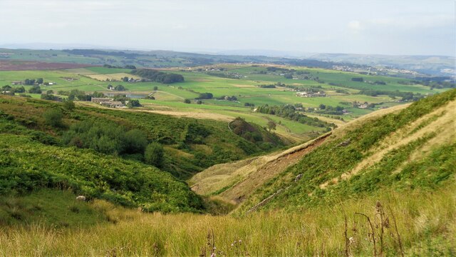
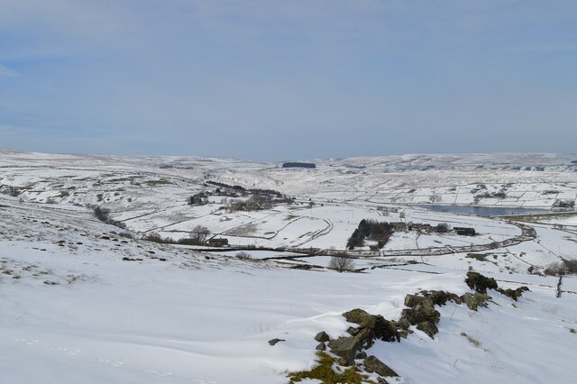
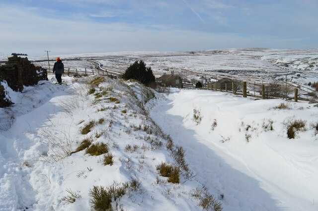
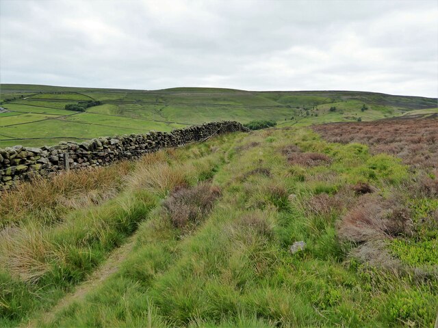
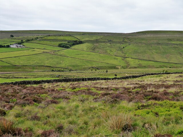
Stairs Hill, located in Yorkshire, England, is a prominent hill that forms part of the scenic landscape in the region. Situated in the Yorkshire Dales National Park, it is known for its breathtaking views and picturesque surroundings. While not classified as a mountain, it stands at an elevation of approximately 1,200 feet, providing a challenging climb for outdoor enthusiasts.
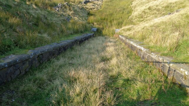
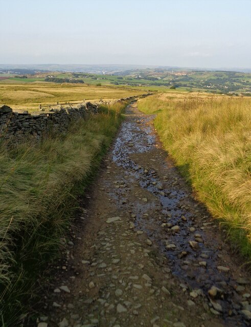
The hill gets its name from the distinctive series of stone steps that lead to the summit, making it easier to ascend. These steps are thought to have been constructed during the Victorian era and have since become a popular feature of the area. The climb up Stairs Hill offers panoramic vistas of the surrounding countryside, including rolling green hills, charming villages, and meandering rivers.
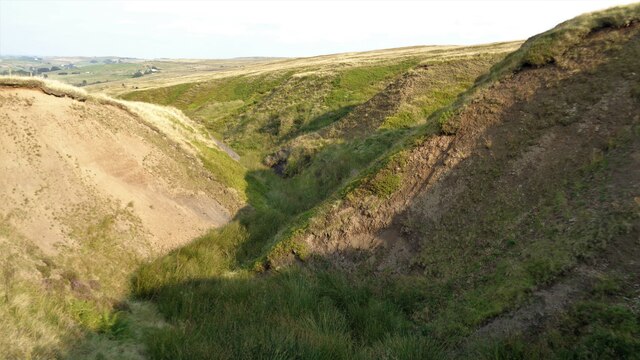
The hill is covered in lush vegetation, primarily consisting of heather, grasses, and scattered trees. It is home to a variety of wildlife, including birds such as peregrine falcons and curlews, as well as mammals like hares and foxes. Nature enthusiasts often visit Stairs Hill to observe and appreciate the diverse flora and fauna.
Visitors to Stairs Hill can enjoy a range of outdoor activities, such as hiking, hill walking, and nature photography. The hill provides an ideal setting for a peaceful and refreshing escape from the hustle and bustle of everyday life. Whether it's a leisurely stroll along the footpaths or a more challenging climb to the summit, Stairs Hill offers a memorable experience for all who venture there.
If you have any feedback on the listing, please let us know in the comments section below.
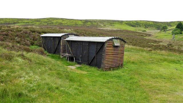
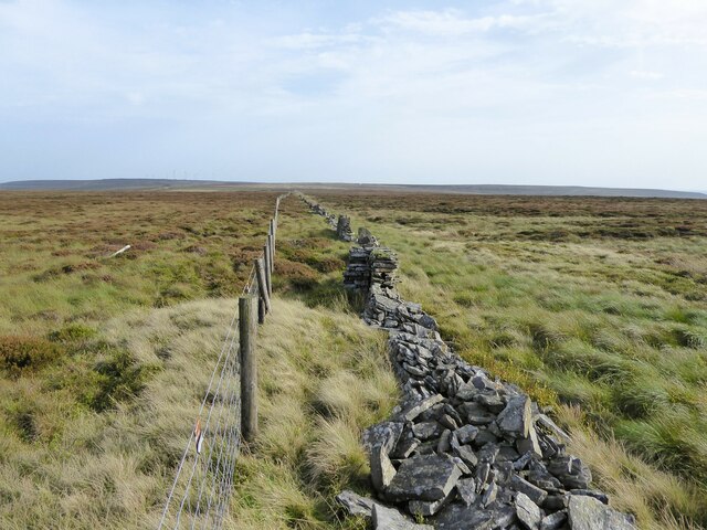
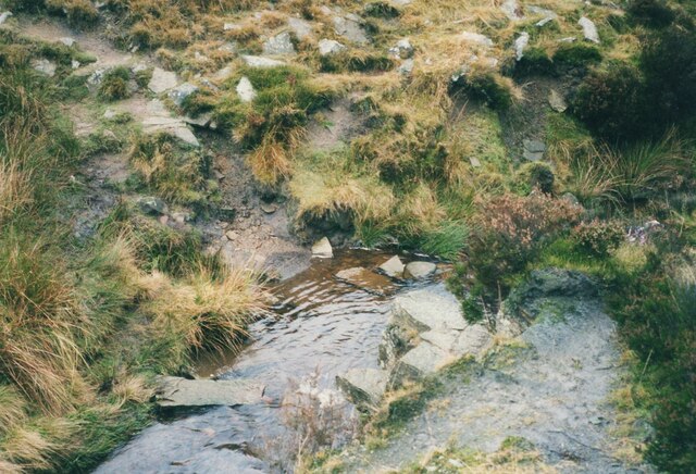
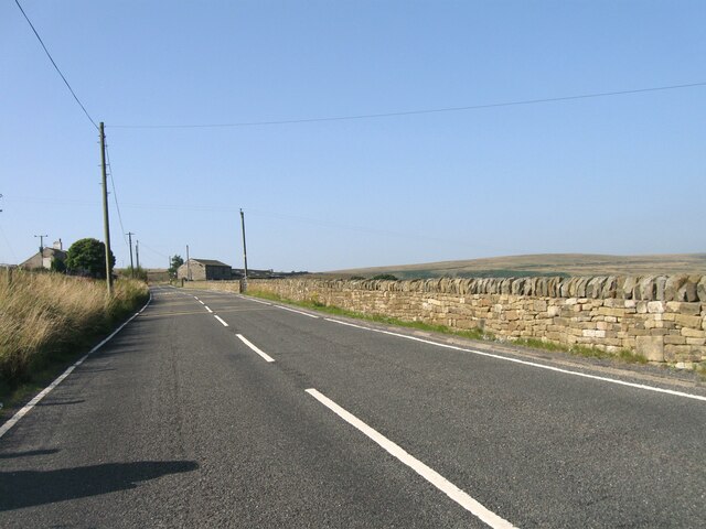
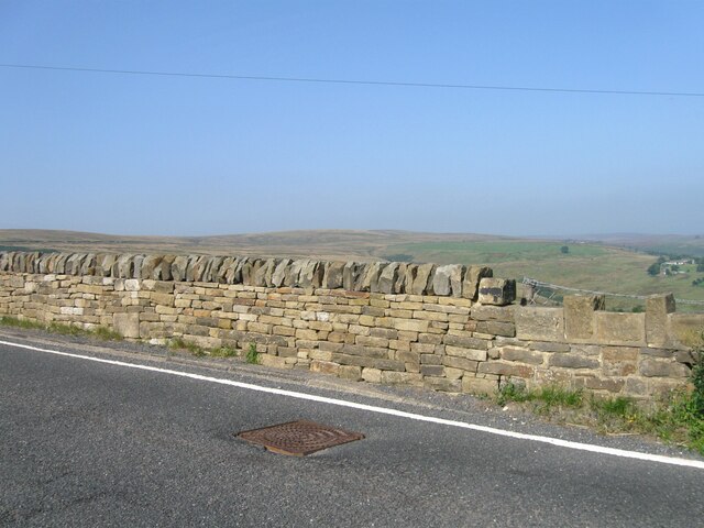
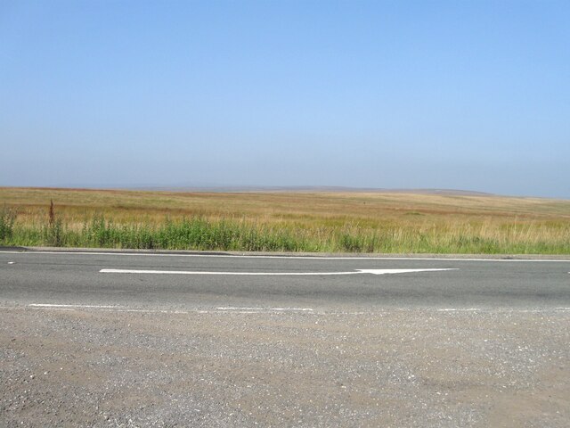
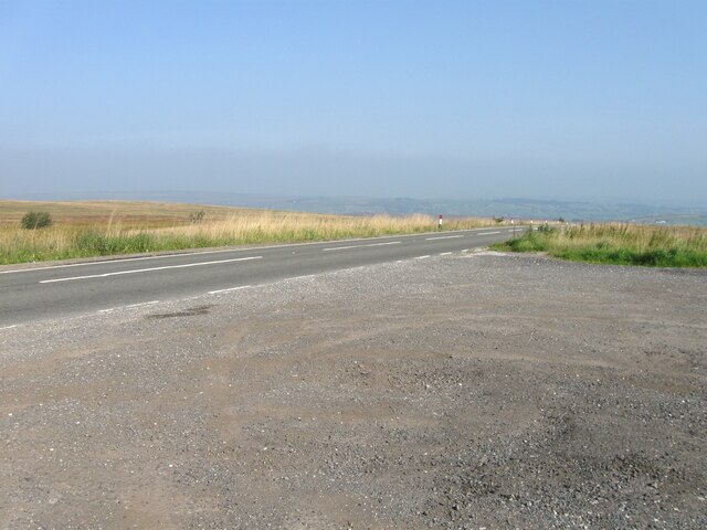
Stairs Hill Images
Images are sourced within 2km of 53.80496/-1.9982624 or Grid Reference SE0034. Thanks to Geograph Open Source API. All images are credited.
Stairs Hill is located at Grid Ref: SE0034 (Lat: 53.80496, Lng: -1.9982624)
Division: West Riding
Unitary Authority: Bradford
Police Authority: West Yorkshire
What 3 Words
///hillsides.manager.notched. Near Oxenhope, West Yorkshire
Nearby Locations
Related Wikis

Top Withens
Top Withens (SD981353) (also known as Top Withins) is a ruined farmhouse near Haworth, West Yorkshire, England, which is said to have been the inspiration...

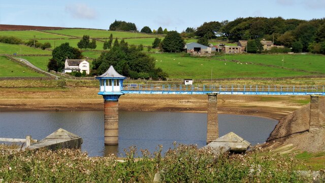
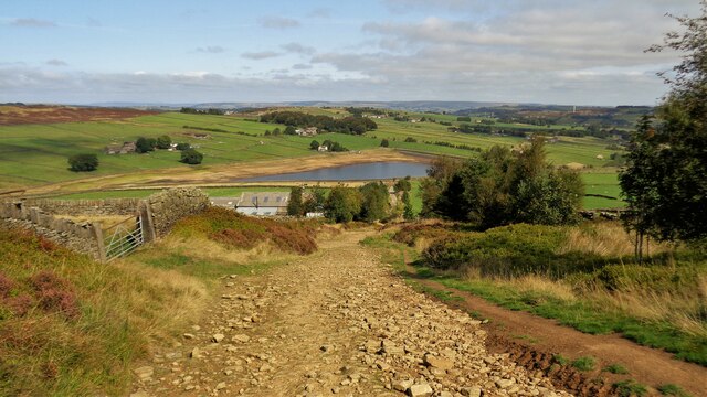
Lower Laithe Reservoir
Lower Laithe Reservoir is a man-made upland reservoir that lies 1.2 miles (2 km) west of Haworth, West Yorkshire, England. The reservoir was initially...

Stanbury
Stanbury is a village and former civil parish, now in the parish of Haworth and Stanbury, in the metropolitan borough of the City of Bradford in West Yorkshire...

Ponden Reservoir
Ponden Reservoir is an artificial upland lake in the Worth Valley, near Stanbury, West Yorkshire, England. Ponden was built as a compensation reservoir...

Worth Valley
Worth Valley is a ward in the City of Bradford Metropolitan District Council, West Yorkshire. The population of the ward taken at the 2011 Census was 14...

Ponden Hall
Ponden Hall is a farmhouse near Stanbury in West Yorkshire, England. It is famous for reputedly being the inspiration for Thrushcross Grange, the home...

Scar Top
Scar Top is a farming hamlet near the tourist village of Haworth in the City of Bradford metropolitan borough, West Yorkshire in England. It is in the...

Penistone Hill Country Park
Penistone Hill Country Park is an open space of moorland that is located to 0.31 miles (0.5 km) west of Haworth and 0.62 miles (1 km) north-west of Oxenhope...
Nearby Amenities
Located within 500m of 53.80496,-1.9982624Have you been to Stairs Hill?
Leave your review of Stairs Hill below (or comments, questions and feedback).