Lumsden Hill
Hill, Mountain in Northumberland
England
Lumsden Hill

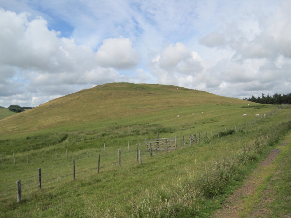
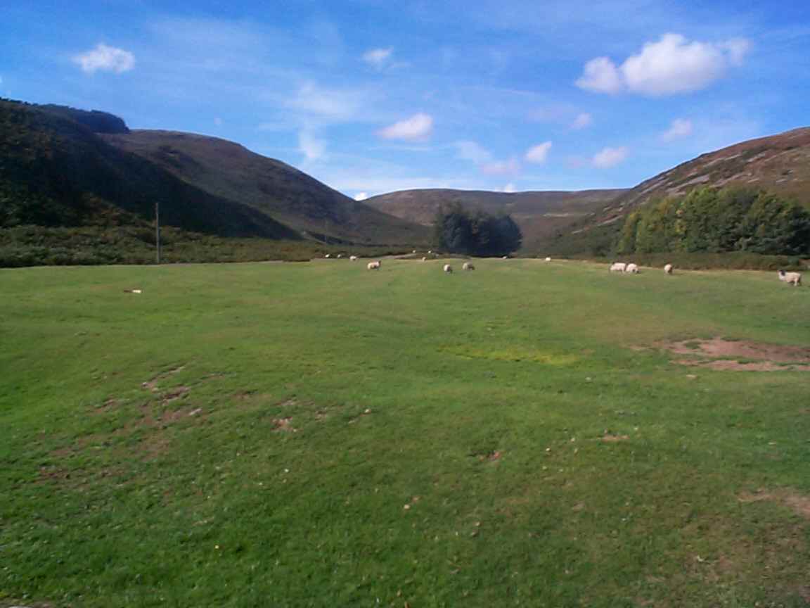
Lumsden Hill is a prominent geographical feature situated in the county of Northumberland, England. It is classified as a hill or mountain due to its significant elevation and steep slopes. Lumsden Hill is located near the village of Longframlington, approximately 10 kilometers northwest of Morpeth.
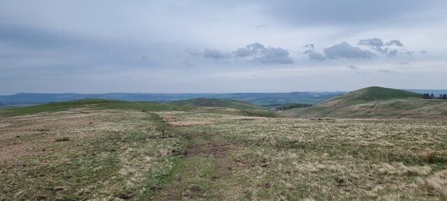
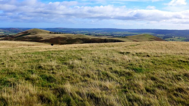
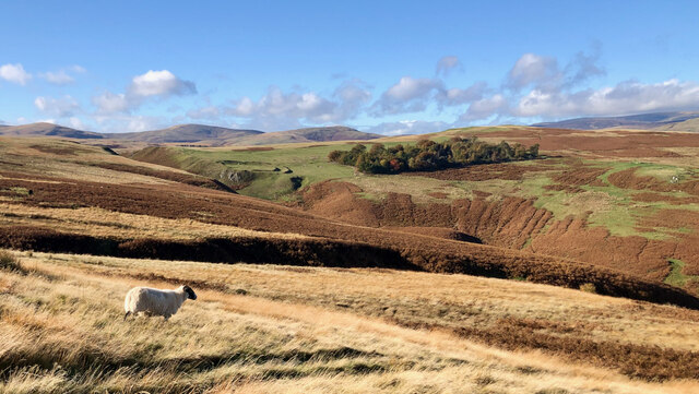
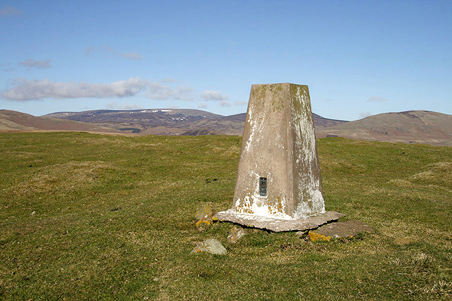
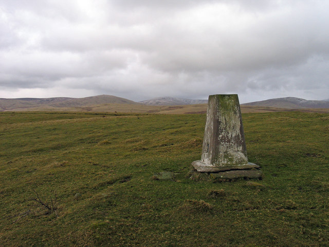
Standing at an impressive height of approximately 290 meters (950 feet), Lumsden Hill offers breathtaking panoramic views of the surrounding area. Its commanding position allows visitors to enjoy sweeping vistas of the Northumberland countryside, including rolling hills, vast farmlands, and distant villages.
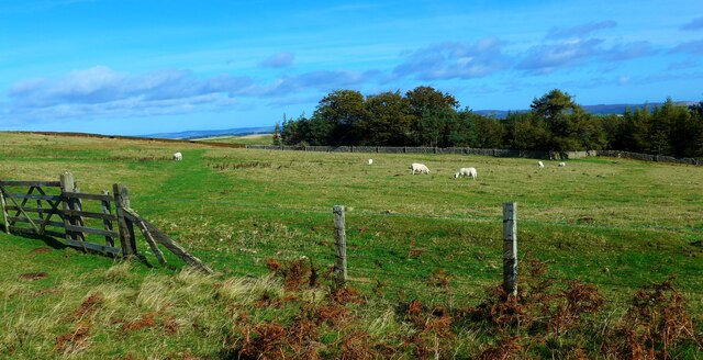
Covered in lush green vegetation, the hill boasts a rich diversity of plant and animal species. The slopes are adorned with grasses, heather, and scattered patches of woodland, providing a habitat for various wildlife, such as rabbits, hares, and a variety of bird species. The hill's location within the Northumberland National Park also contributes to its ecological importance.
Lumsden Hill is a popular destination for outdoor enthusiasts and nature lovers. Its well-maintained footpaths and trails make it easily accessible to hikers, walkers, and cyclists. The hill provides a challenging terrain for those seeking adventure, with its steep inclines and uneven terrain. It also offers a peaceful and tranquil setting for those simply looking to immerse themselves in nature.
Overall, Lumsden Hill is a prominent natural landmark in Northumberland, offering stunning views, diverse wildlife, and opportunities for outdoor activities. Its accessibility and scenic beauty make it a must-visit destination for both locals and tourists alike.
If you have any feedback on the listing, please let us know in the comments section below.
Lumsden Hill Images
Images are sourced within 2km of 55.416399/-1.9981714 or Grid Reference NU0013. Thanks to Geograph Open Source API. All images are credited.
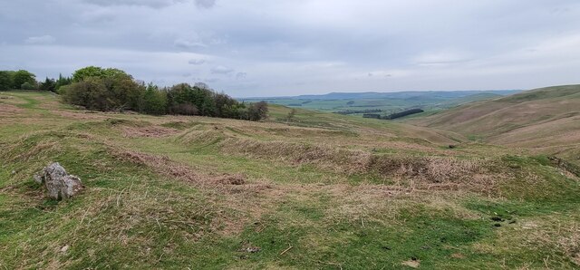


![Earthworks associated with prehistoric settlement "Earthwork remains of a partly enclosed late prehistoric settlement with at least 7 house platforms."
‘Heritage Gateway - Results’. 2012. Heritagegateway.org.uk &lt;<span class="nowrap"><a title="https://www.heritagegateway.org.uk/Gateway/Results_Single.aspx?uid=4f2e2525-4e67-42b6-bada-693f30be9b4c&amp;resourceID=19191" rel="nofollow ugc noopener" href="https://www.heritagegateway.org.uk/Gateway/Results_Single.aspx?uid=4f2e2525-4e67-42b6-bada-693f30be9b4c&amp;resourceID=19191">Link</a><img style="margin-left:2px;" alt="External link" title="External link - shift click to open in new window" src="https://s1.geograph.org.uk/img/external.png" width="10" height="10"/></span> &gt; [accessed 1 November 2022].](https://s2.geograph.org.uk/geophotos/07/32/89/7328922_b41bcaa7.jpg)

![Wether Hill Iron Age hillfort, palisade, enclosure, and ditch ‘Heritage Gateway - Results’. 2012. Heritagegateway.org.uk &lt;<span class="nowrap"><a title="https://www.heritagegateway.org.uk/Gateway/Results_Single.aspx?resourceID=304&amp;uid=1885610" rel="nofollow ugc noopener" href="https://www.heritagegateway.org.uk/Gateway/Results_Single.aspx?resourceID=304&amp;uid=1885610">Link</a><img style="margin-left:2px;" alt="External link" title="External link - shift click to open in new window" src="https://s1.geograph.org.uk/img/external.png" width="10" height="10"/></span> &gt; [accessed 28 October 2022]
‘Heritage Gateway - Results’. 2012. Heritagegateway.org.uk &lt;<span class="nowrap"><a title="https://www.heritagegateway.org.uk/Gateway/Results_Single.aspx?resourceID=304&amp;uid=1844678" rel="nofollow ugc noopener" href="https://www.heritagegateway.org.uk/Gateway/Results_Single.aspx?resourceID=304&amp;uid=1844678">Link</a><img style="margin-left:2px;" alt="External link" title="External link - shift click to open in new window" src="https://s1.geograph.org.uk/img/external.png" width="10" height="10"/></span> &gt; [accessed 28 October 2022]
‘Heritage Gateway - Results’. 2012. Heritagegateway.org.uk &lt;<span class="nowrap"><a title="https://www.heritagegateway.org.uk/Gateway/Results_Single.aspx?resourceID=304&amp;uid=1926688" rel="nofollow ugc noopener" href="https://www.heritagegateway.org.uk/Gateway/Results_Single.aspx?resourceID=304&amp;uid=1926688">Link</a><img style="margin-left:2px;" alt="External link" title="External link - shift click to open in new window" src="https://s1.geograph.org.uk/img/external.png" width="10" height="10"/></span> &gt; [accessed 28 October 2022]](https://s0.geograph.org.uk/geophotos/07/32/89/7328928_989b1be1.jpg)


Lumsden Hill is located at Grid Ref: NU0013 (Lat: 55.416399, Lng: -1.9981714)
Unitary Authority: Northumberland
Police Authority: Northumbria
What 3 Words
///published.stones.parsnips. Near Whittingham, Northumberland
Nearby Locations
Related Wikis

Unthank, Alnham
Unthank is a hamlet and former civil parish, now in the parish of Alnham in Northumberland, England. In 1951 the parish had a population of 11. == History... ==

Alnham
Alnham is a hamlet and civil parish in Northumberland, England. It is about 14 miles (23 km) west of Alnwick, about 6 miles (9.7 km) from Scotland and...
Church of St Michael, Alnham
The Church of St Michael in Alnham, in the English county of Northumberland, is a medieval structure dating from circa 1200. Built on a Roman camp site...
Castle Knowe, Northumberland
Castle Knowe, also known as Clinch Castle, is the site of an Iron Age hillfort in Northumberland, England, about 1 mile south-east of the village of Ingram...
Ingram, Northumberland
Ingram is a small village and civil parish in Northumberland, England. It is located in the Cheviots on the River Breamish, and on the edge of Northumberland...

Eslington Park
Eslington Park is a privately owned 18th-century mansion house west of Whittingham, Northumberland, near the River Aln. It is the family seat of Lord...
Milbourne, Northumberland
Milbourne is a village and former civil parish 14 miles (23 km) from Morpeth, now in the parish of Ponteland, in the county of Northumberland, England...

Scrainwood
Scrainwood is a hamlet and former civil parish 20 miles (32 km) from Morpeth, now in the parish of Alnham, in the county of Northumberland, England. In...
Nearby Amenities
Located within 500m of 55.416399,-1.9981714Have you been to Lumsden Hill?
Leave your review of Lumsden Hill below (or comments, questions and feedback).