Bond Clough
Valley in Yorkshire
England
Bond Clough
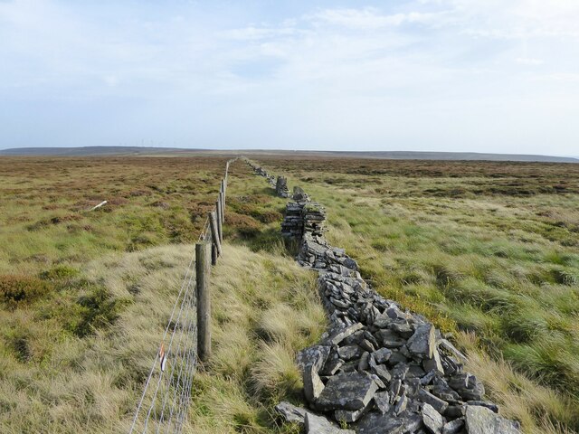
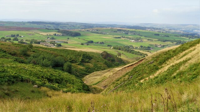
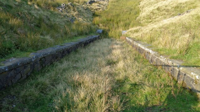
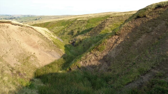
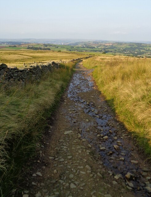
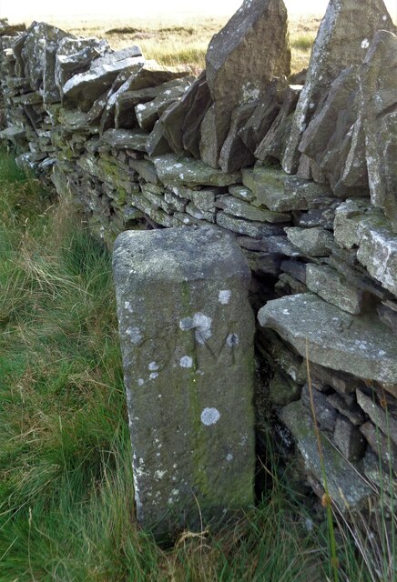
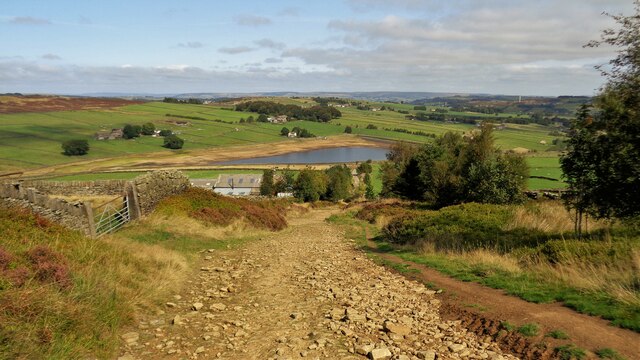
Bond Clough is a picturesque valley located in the region of Yorkshire, England. Situated amidst the stunning countryside of the Yorkshire Dales National Park, the valley offers a tranquil and idyllic setting for visitors to immerse themselves in the beauty of nature.
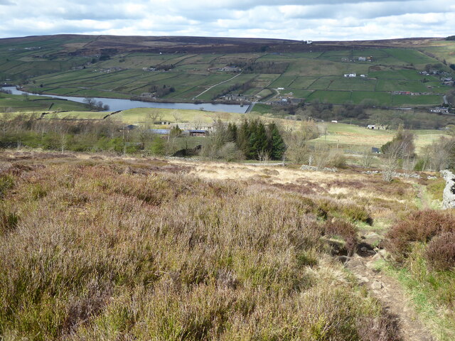
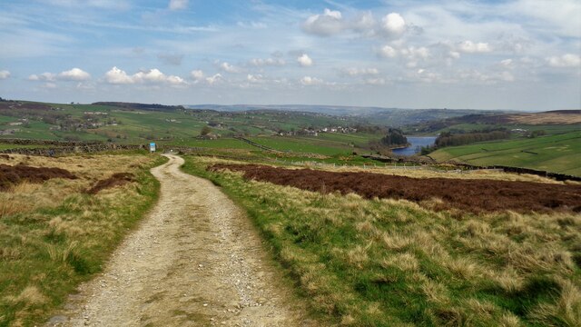
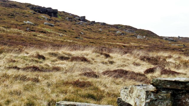
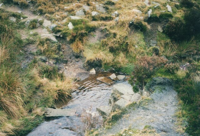
Surrounded by rolling hills and lush greenery, Bond Clough is renowned for its breathtaking landscapes and stunning vistas. As visitors explore the valley, they will be captivated by the sight of cascading waterfalls, meandering streams, and a diverse array of flora and fauna. The valley's rich biodiversity makes it a haven for nature enthusiasts, who can spot a variety of wildlife including birds, rabbits, and even the occasional deer.
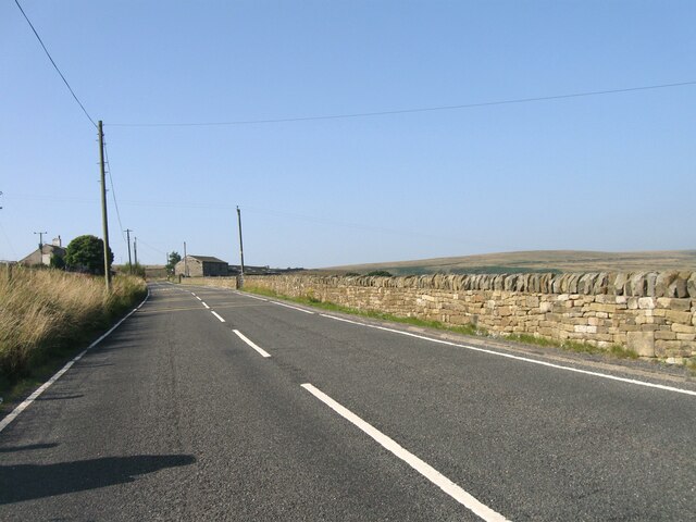
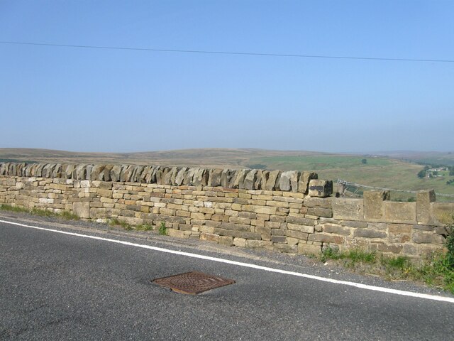
Bond Clough is also a popular destination for outdoor activities. The valley boasts numerous walking trails and hiking routes, allowing visitors to explore its beauty at their own pace. From leisurely strolls along the riverbanks to more challenging hikes up the hills, there is something to suit every level of fitness and interest.
For those seeking a more adventurous experience, Bond Clough offers opportunities for rock climbing and abseiling. The rugged cliffs and crags provide an exhilarating challenge for climbers of all abilities.
Additionally, the valley is home to a charming village, where visitors can find quaint cottages, traditional pubs, and local shops. The village provides a glimpse into the rich cultural heritage of the region and offers a warm welcome to all who visit.
In summary, Bond Clough is a hidden gem in the heart of Yorkshire. Its natural beauty, diverse wildlife, and range of outdoor activities make it a must-visit destination for nature lovers and adventure seekers alike.
If you have any feedback on the listing, please let us know in the comments section below.
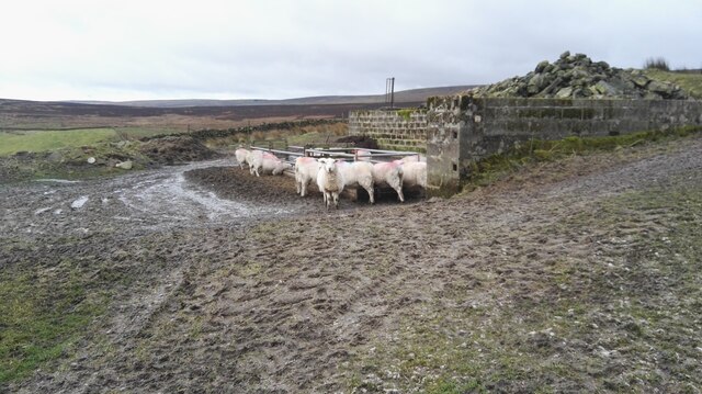
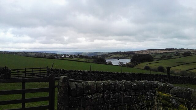
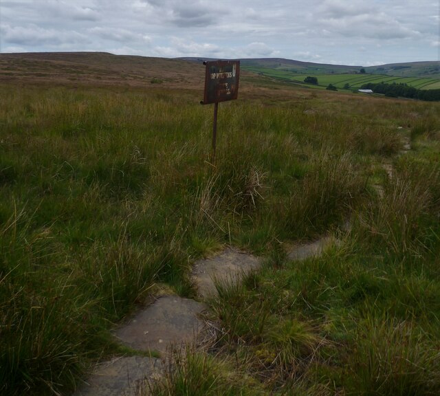
Bond Clough Images
Images are sourced within 2km of 53.81029/-1.9960451 or Grid Reference SE0034. Thanks to Geograph Open Source API. All images are credited.
Bond Clough is located at Grid Ref: SE0034 (Lat: 53.81029, Lng: -1.9960451)
Division: West Riding
Unitary Authority: Bradford
Police Authority: West Yorkshire
What 3 Words
///degrading.succeed.copycat. Near Oxenhope, West Yorkshire
Nearby Locations
Related Wikis

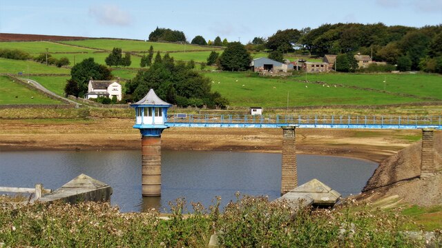
Lower Laithe Reservoir
Lower Laithe Reservoir is a man-made upland reservoir that lies 1.2 miles (2 km) west of Haworth, West Yorkshire, England. The reservoir was initially...

Stanbury
Stanbury is a village and former civil parish, now in the parish of Haworth and Stanbury, in the metropolitan borough of the City of Bradford in West Yorkshire...

Top Withens
Top Withens (SD981353) (also known as Top Withins) is a ruined farmhouse near Haworth, West Yorkshire, England, which is said to have been the inspiration...

Ponden Reservoir
Ponden Reservoir is an artificial upland lake in the Worth Valley, near Stanbury, West Yorkshire, England. Ponden was built as a compensation reservoir...

Scar Top
Scar Top is a farming hamlet near the tourist village of Haworth in the City of Bradford metropolitan borough, West Yorkshire in England. It is in the...

Ponden Hall
Ponden Hall is a farmhouse near Stanbury in West Yorkshire, England. It is famous for reputedly being the inspiration for Thrushcross Grange, the home...

Penistone Hill Country Park
Penistone Hill Country Park is an open space of moorland that is located to 0.31 miles (0.5 km) west of Haworth and 0.62 miles (1 km) north-west of Oxenhope...

Worth Valley
Worth Valley is a ward in the City of Bradford Metropolitan District Council, West Yorkshire. The population of the ward taken at the 2011 Census was 14...
Nearby Amenities
Located within 500m of 53.81029,-1.9960451Have you been to Bond Clough?
Leave your review of Bond Clough below (or comments, questions and feedback).