Holme Bottom
Valley in Westmorland South Lakeland
England
Holme Bottom
Holme Bottom is a picturesque valley located in the historic county of Westmorland, in the northwestern region of England. Nestled between the majestic Lake District National Park and the Yorkshire Dales National Park, this idyllic valley is known for its breathtaking natural beauty and tranquil surroundings.
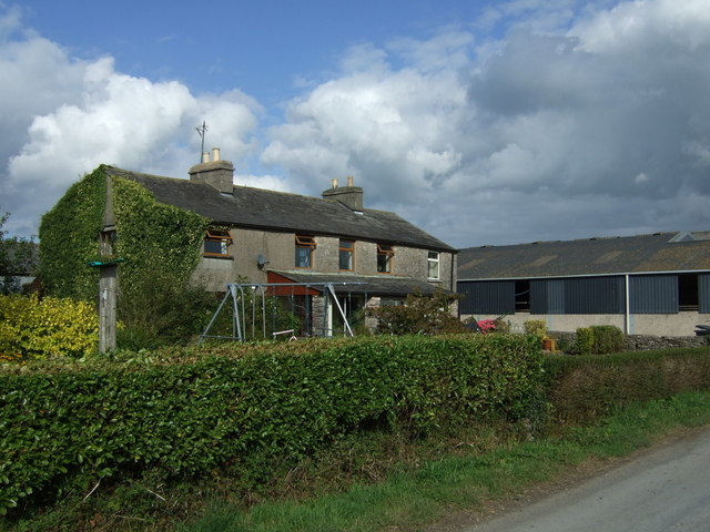
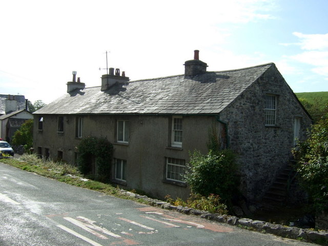
At the heart of Holme Bottom lies the River Lune, which meanders through the valley, offering a peaceful sanctuary for wildlife and a stunning backdrop for visitors. The valley is dotted with charming villages and hamlets, such as Holme, which is the largest settlement in the area. The village boasts traditional stone cottages, a quaint church, and a warm community spirit.
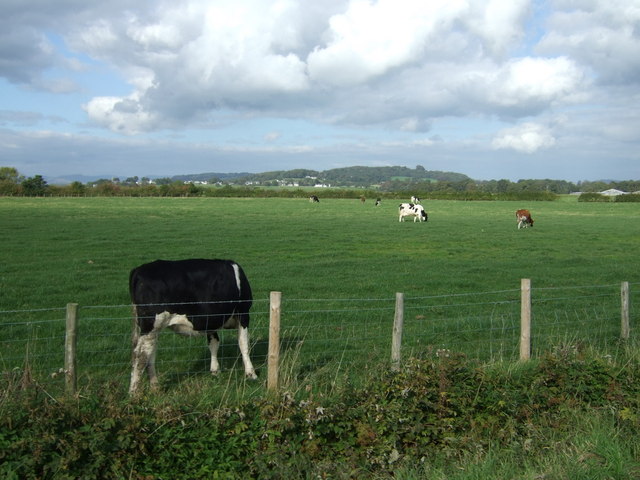
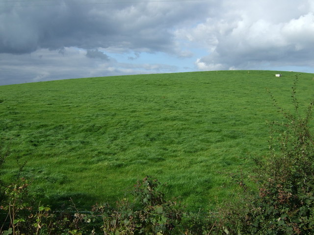
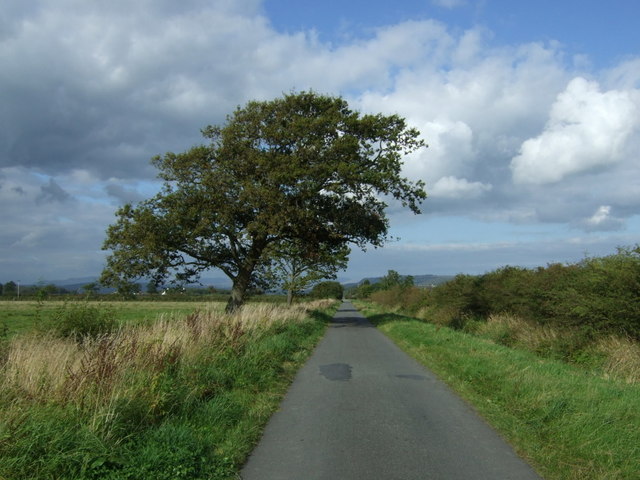
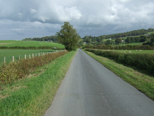
The landscape of Holme Bottom is characterized by rolling hills, lush meadows, and verdant woodlands. The valley is renowned for its rich biodiversity, with a variety of flora and fauna thriving in the area. It is a haven for nature enthusiasts and hikers, who can explore the numerous walking trails that crisscross the valley, providing breathtaking views of the surrounding countryside.
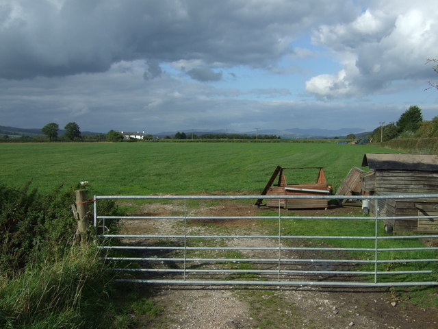
Holme Bottom is steeped in history, with ancient stone circles and remnants of Roman settlements found in the vicinity. The valley has also been a hub for agriculture, with traditional farming practices still evident today.
Visitors to Holme Bottom can enjoy a range of outdoor activities, including fishing, birdwatching, and cycling. The valley is also home to several charming inns and guesthouses, offering a warm welcome and a taste of local cuisine.
In summary, Holme Bottom in Westmorland is a hidden gem, offering visitors a peaceful retreat amidst stunning natural landscapes, rich history, and a warm community spirit.
If you have any feedback on the listing, please let us know in the comments section below.
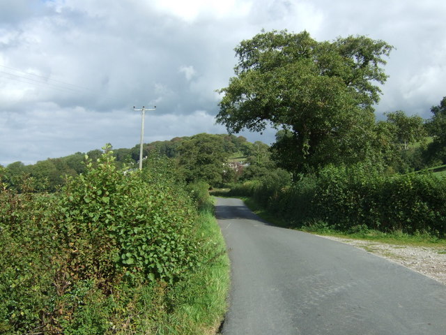
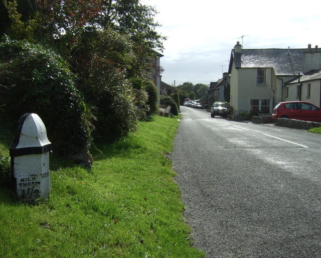
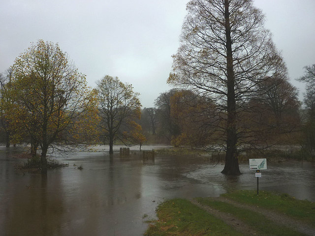
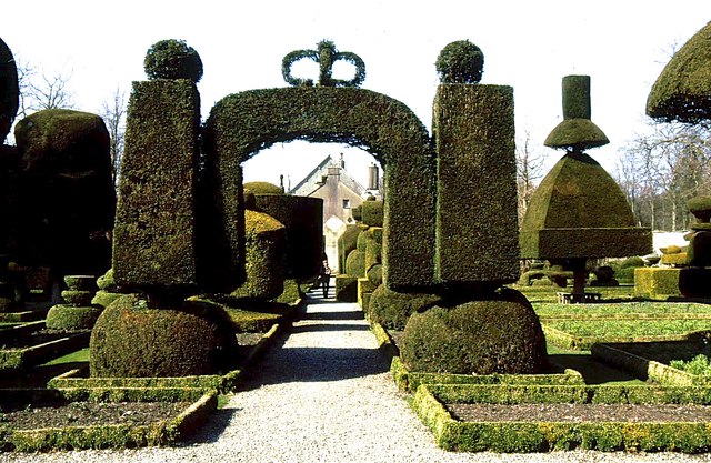
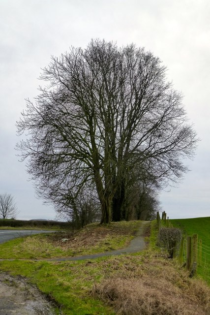
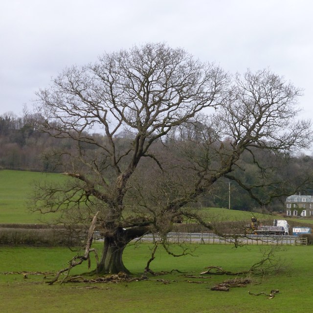
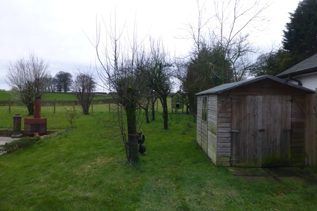
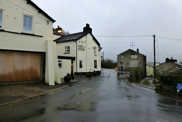
Holme Bottom Images
Images are sourced within 2km of 54.260548/-2.7776958 or Grid Reference SD4985. Thanks to Geograph Open Source API. All images are credited.
Holme Bottom is located at Grid Ref: SD4985 (Lat: 54.260548, Lng: -2.7776958)
Administrative County: Cumbria
District: South Lakeland
Police Authority: Cumbria
What 3 Words
///shrub.change.massing. Near Milnthorpe, Cumbria
Nearby Locations
Related Wikis

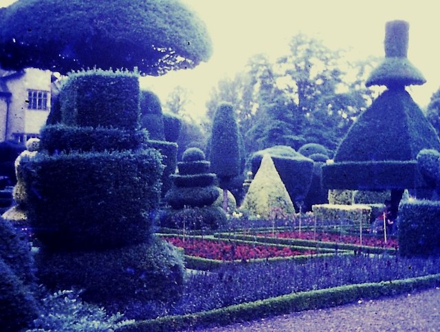
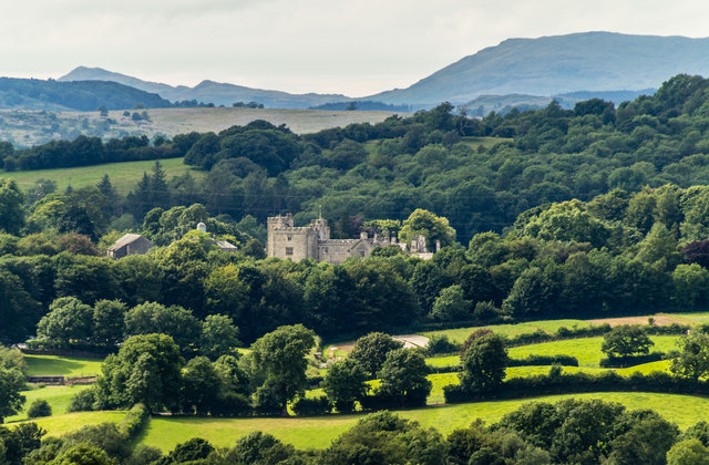
Levens Hall
Levens Hall is a manor house in the Kent valley, near the village of Levens and 5 miles (9 km) south of Kendal in Cumbria, Northern England. == History... ==

Causeway End
Causeway End is a hamlet in Cumbria, England.

Levens, Cumbria
Levens is a village and civil parish in Westmorland and Furness, Cumbria. It lies within the historic county of Westmorland. In the 2001 census the parish...
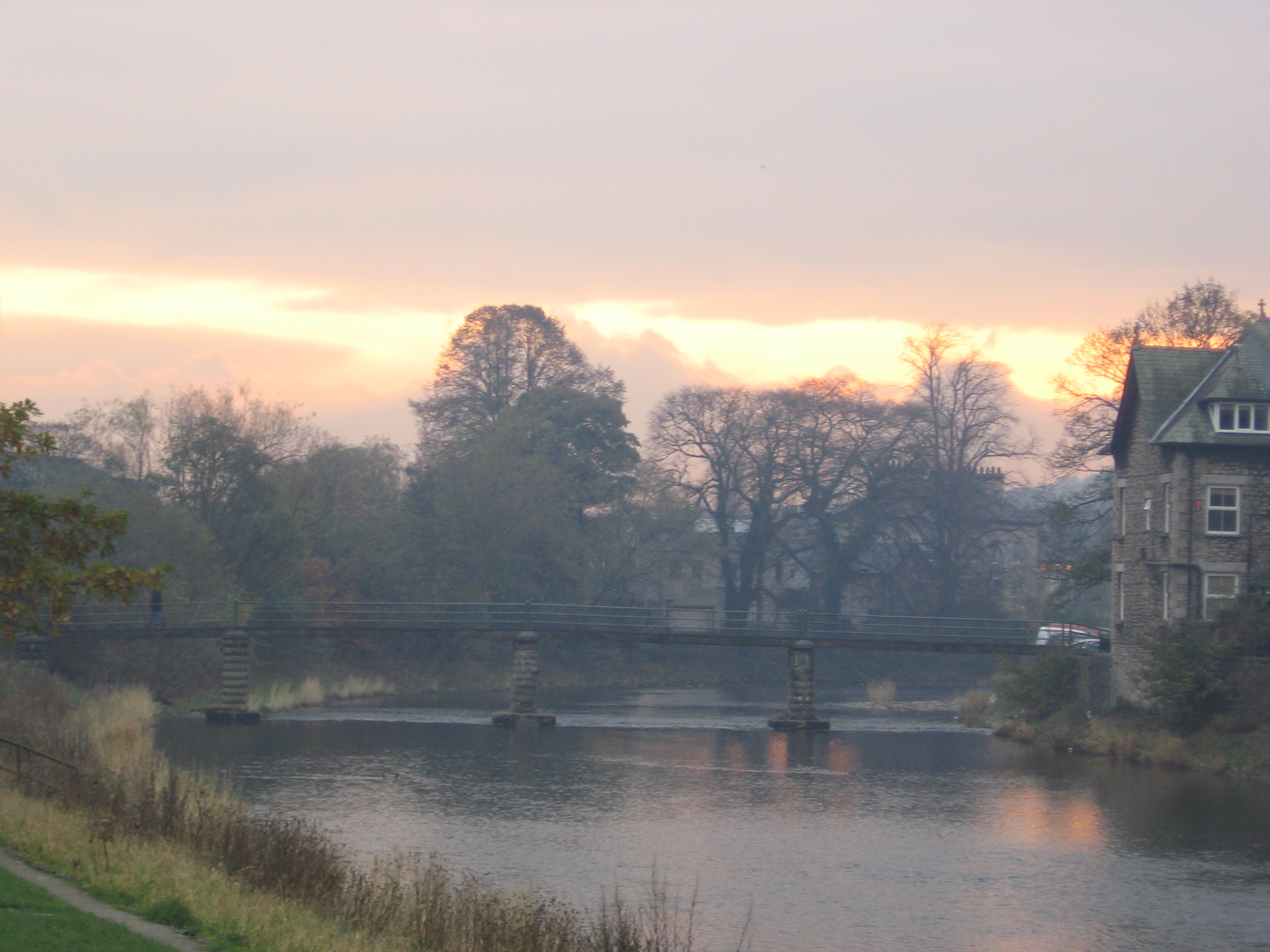
River Kent
The River Kent is a short river in the county of Cumbria in England. It originates in hills surrounding Kentmere, and flows for around 20 miles (32 km...
Nearby Amenities
Located within 500m of 54.260548,-2.7776958Have you been to Holme Bottom?
Leave your review of Holme Bottom below (or comments, questions and feedback).