Hollow Plantation
Wood, Forest in Westmorland South Lakeland
England
Hollow Plantation
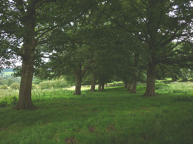
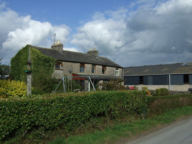
Hollow Plantation is a picturesque woodland located in the county of Westmorland, in the heart of the North West of England. Situated amidst the stunning landscape of the Lake District National Park, this plantation offers visitors a tranquil and immersive experience in nature.
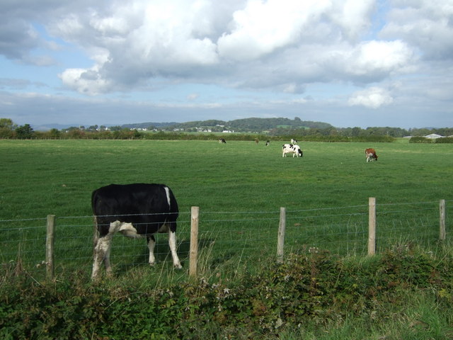
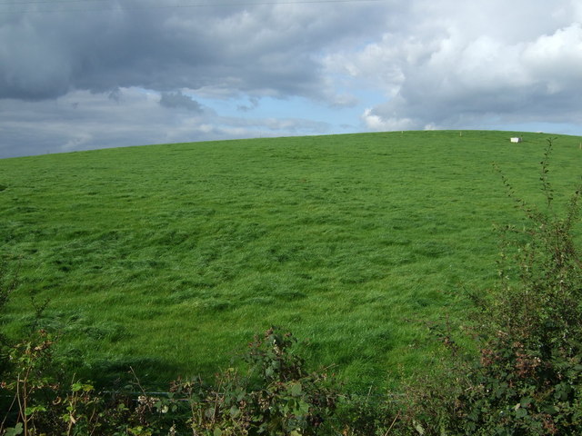
Covering an expansive area, Hollow Plantation is characterized by its dense and diverse forest, abundant with an array of flora and fauna. Towering oak trees, beech trees, and conifers dominate the landscape, providing a vibrant display of colors throughout the seasons. The plantation is also home to a variety of wildlife, including deer, squirrels, and a wide range of bird species, making it a haven for nature enthusiasts and birdwatchers alike.
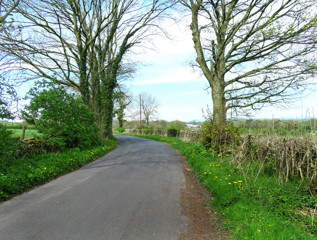
Visitors to Hollow Plantation can explore the well-maintained network of walking trails that wind their way through the woodland. These trails offer stunning views of the surrounding countryside and provide ample opportunities for leisurely strolls, family picnics, or adventurous hikes. Additionally, designated picnic areas and benches are strategically placed throughout the plantation, allowing visitors to rest and take in the peaceful ambiance.
Hollow Plantation is easily accessible, with a car park located nearby. The plantation is also well-connected to the local transport network, making it convenient for both local residents and tourists to visit. Whether it's a peaceful retreat into nature, a family outing, or an opportunity to observe wildlife, Hollow Plantation offers something for everyone in an idyllic setting.
If you have any feedback on the listing, please let us know in the comments section below.
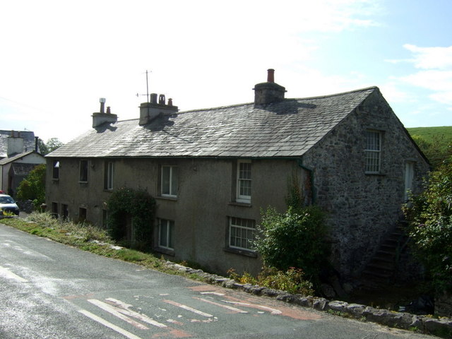
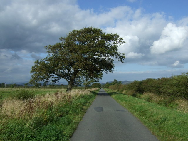
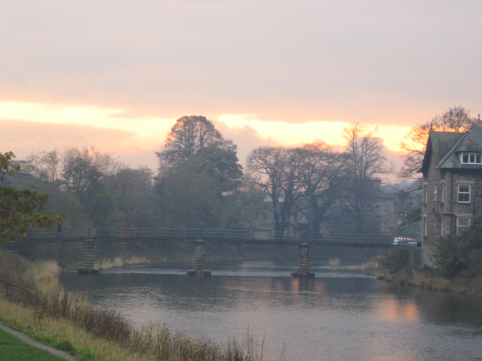
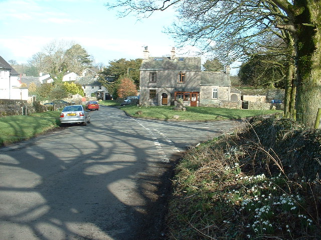
Hollow Plantation Images
Images are sourced within 2km of 54.262321/-2.77733 or Grid Reference SD4985. Thanks to Geograph Open Source API. All images are credited.
Hollow Plantation is located at Grid Ref: SD4985 (Lat: 54.262321, Lng: -2.77733)
Administrative County: Cumbria
District: South Lakeland
Police Authority: Cumbria
What 3 Words
///ledge.quiz.developed. Near Milnthorpe, Cumbria
Nearby Locations
Related Wikis

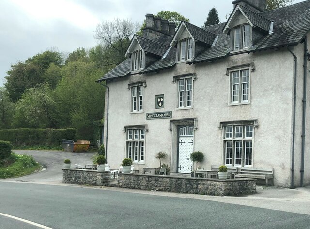
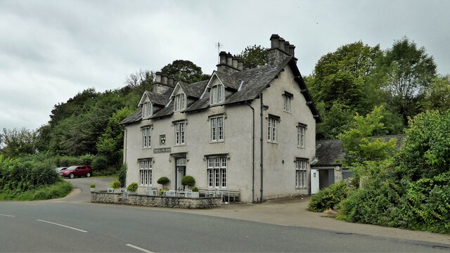
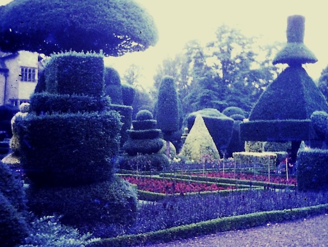
Levens Hall
Levens Hall is a manor house in the Kent valley, near the village of Levens and 5 miles (9 km) south of Kendal in Cumbria, Northern England. == History... ==

Causeway End
Causeway End is a hamlet in Cumbria, England.

Levens, Cumbria
Levens is a village and civil parish in Westmorland and Furness, Cumbria. It lies within the historic county of Westmorland. In the 2001 census the parish...
River Kent
The River Kent is a short river in the county of Cumbria in England. It originates in hills surrounding Kentmere, and flows for around 20 miles (32 km...
Hincaster
Hincaster is a small hamlet and civil parish in the South Lakeland district of Cumbria, England, located between Kendal and Milnthorpe. In the 2001 census...

Cotes, Cumbria
Cotes is a hamlet in Cumbria, England. == References ==

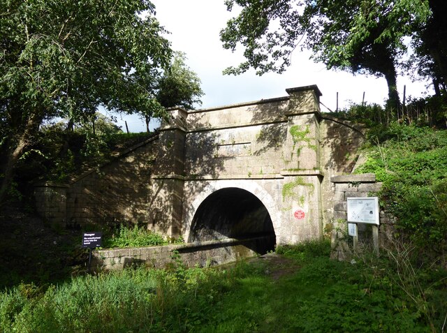
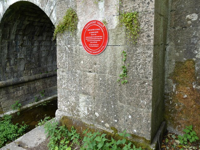
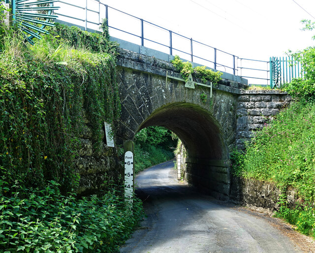
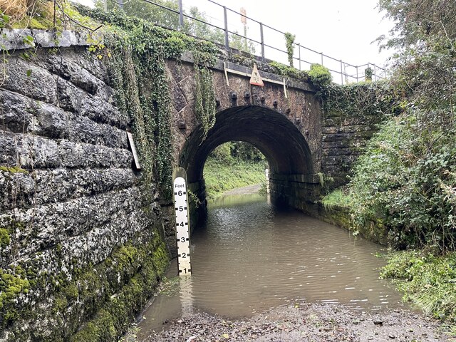
Hincaster Tunnel
The Hincaster Tunnel is a canal tunnel on the Lancaster Canal at Hincaster, a hamlet in Cumbria, England. == History == Work to extend the Lancaster Canal...

River Gilpin
The River Gilpin is a river in the English county of Cumbria. Formerly, the river was in the county of Westmorland. The river rises near Gilpin Lodge in...
Nearby Amenities
Located within 500m of 54.262321,-2.77733Have you been to Hollow Plantation?
Leave your review of Hollow Plantation below (or comments, questions and feedback).