Muddicombe Coppice
Wood, Forest in Dorset
England
Muddicombe Coppice
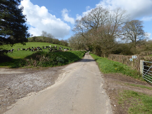
Muddicombe Coppice is a picturesque woodland located in the county of Dorset, England. Covering an area of approximately 50 acres, it is a cherished natural gem within the region. The coppice is situated near the village of Muddicombe, which lies in close proximity to the larger town of Dorchester.
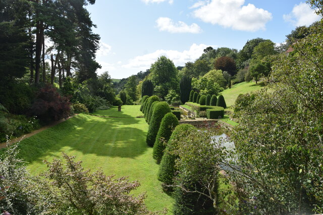
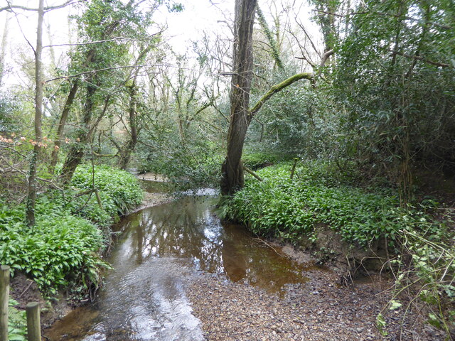
The woodland is characterized by its diverse range of tree species, including oak, beech, ash, and hazel. These towering trees create a dense canopy, providing a sheltered and tranquil environment for both wildlife and visitors alike. The forest floor is adorned with a rich carpet of bluebells and other wildflowers during the spring months, adding to its enchanting beauty.
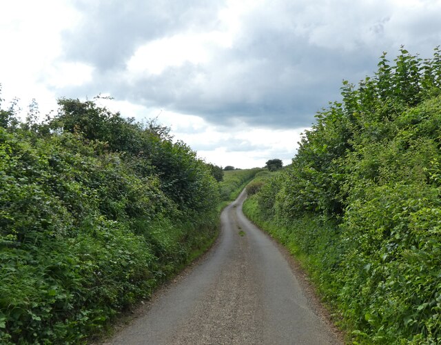
Muddicombe Coppice is a popular destination for nature enthusiasts and outdoor lovers. It offers a network of well-maintained footpaths, allowing visitors to explore and appreciate the woodland's natural wonders. The paths wind through the trees, leading to open clearings and secluded spots where one can relax and soak in the peaceful ambiance.
The woodland is home to a variety of wildlife, making it a haven for nature lovers. Birdwatchers can spot species such as woodpeckers, owls, and nuthatches, while keen-eyed visitors may encounter deer, foxes, and badgers in their natural habitat.
Muddicombe Coppice is not only a place of natural beauty but also holds historical and cultural significance. The woodland has been managed for centuries using traditional techniques, such as coppicing, which involves periodically cutting trees to promote new growth. This practice has helped maintain the woodland's biodiversity and has contributed to its unique character.
Overall, Muddicombe Coppice is a captivating and idyllic woodland that offers a peaceful retreat for those seeking solace in nature.
If you have any feedback on the listing, please let us know in the comments section below.
Muddicombe Coppice Images
Images are sourced within 2km of 50.779336/-2.7181667 or Grid Reference SY4997. Thanks to Geograph Open Source API. All images are credited.


Muddicombe Coppice is located at Grid Ref: SY4997 (Lat: 50.779336, Lng: -2.7181667)
Unitary Authority: Dorset
Police Authority: Dorset
What 3 Words
///bedspread.sidelined.anyone. Near Beaminster, Dorset
Related Wikis

Melplash
Melplash is a village in western Dorset, England. It is situated on the A3066 road 3 miles (4.8 km) north of Bridport and 2 miles (3.2 km) south of Beaminster...
Christ Church, Melplash
Christ Church is a Church of England church in Melplash, Dorset, England. It was built in 1845–46 to the designs of Benjamin Ferrey and has been a Grade...

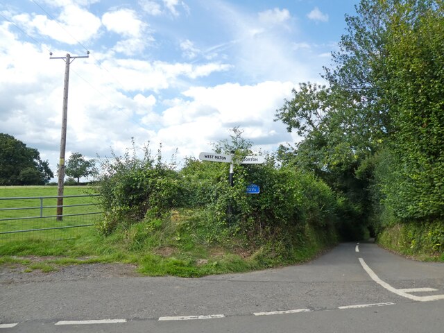
West Milton, Dorset
West Milton is a small village in western Dorset, in South West England, about 3 miles (5 km) northeast of Bridport and 1 mile (1.6 km) west of Powerstock...
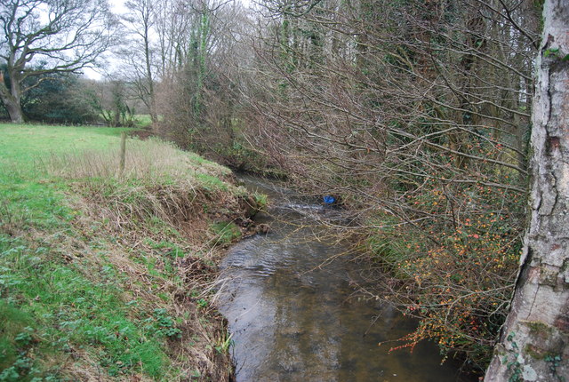
Mangerton River
The Mangerton River or Mangerton Brook is a 13.37 km (8.31 mi) long river in Dorset, England that is a tributary of the River Asker. The river rises at...
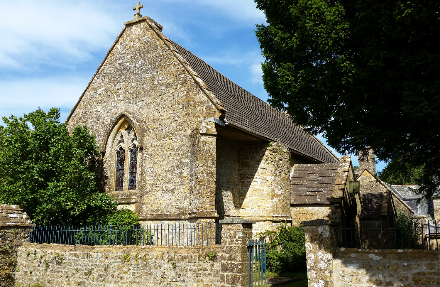
All Saints' Church, Mapperton
All Saints' Church is a private church, formerly belonging to the Church of England, in Mapperton, Dorset, England. The church is believed to have 12th...

Oxbridge, Dorset
Oxbridge is a hamlet in the English county of Dorset. It lies on the River Brit between Bridport and Beaminster. == External links == Map sources for...

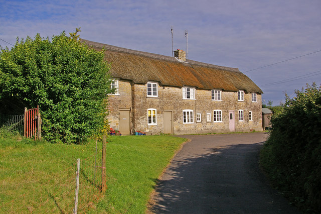
Mapperton
Mapperton is a hamlet and civil parish in Dorset, England, 3 miles (4.8 km) south-east of Beaminster. Dorset County Council estimated that the population...
North Poorton
North Poorton is a hamlet and civil parish in Dorset, England, situated in the Dorset unitary authority area about 4.5 miles (7.2 km) northeast of Bridport...
Have you been to Muddicombe Coppice?
Leave your review of Muddicombe Coppice below (or comments, questions and feedback).