Park Side Plantation
Wood, Forest in Westmorland South Lakeland
England
Park Side Plantation
Park Side Plantation is a stunning woodland area located in Westmorland, a picturesque county in the northwest of England. Situated near the village of Wood, this plantation is a nature lover's paradise, offering a serene and tranquil environment for visitors to explore.
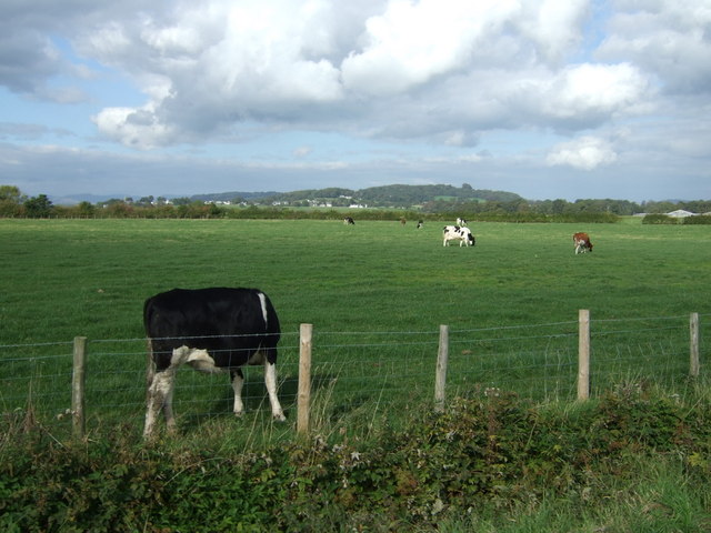
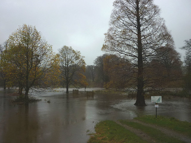
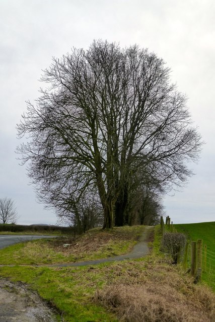
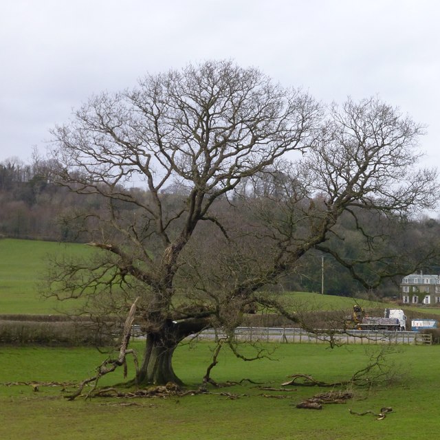
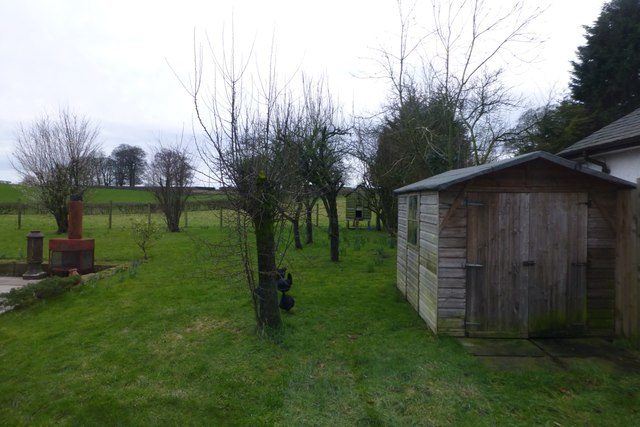
Covering approximately 100 acres, Park Side Plantation is predominantly a forested area, boasting a diverse range of tree species including oak, beech, and pine. The dense woodland provides a habitat for a variety of wildlife, making it an ideal spot for birdwatching and nature photography.
Visitors can enjoy a network of well-maintained walking trails that wind through the plantation, allowing them to immerse themselves in the natural beauty of the surroundings. These paths are suitable for all levels of fitness and offer opportunities for both leisurely strolls and more challenging hikes.
The plantation also features a small lake, adding to the scenic charm of the area. Visitors can relax by the water's edge, enjoying a picnic or simply taking in the peaceful ambiance.
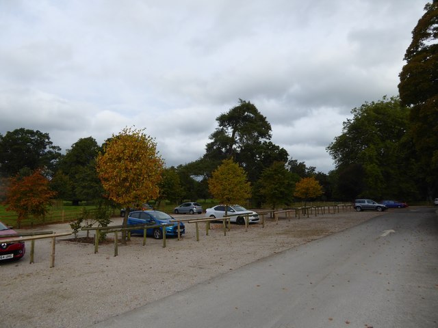
Park Side Plantation is open to the public year-round, with free admission. It is a popular destination for locals and tourists alike, particularly during the spring and summer months when the woodland is in full bloom. The plantation is easily accessible by road, with ample parking available for visitors.
Overall, Park Side Plantation offers a wonderful opportunity to connect with nature and escape the hustle and bustle of everyday life. Whether it's a leisurely walk, birdwatching, or simply enjoying the serenity of the forest, this woodland retreat has something to offer for everyone.
If you have any feedback on the listing, please let us know in the comments section below.
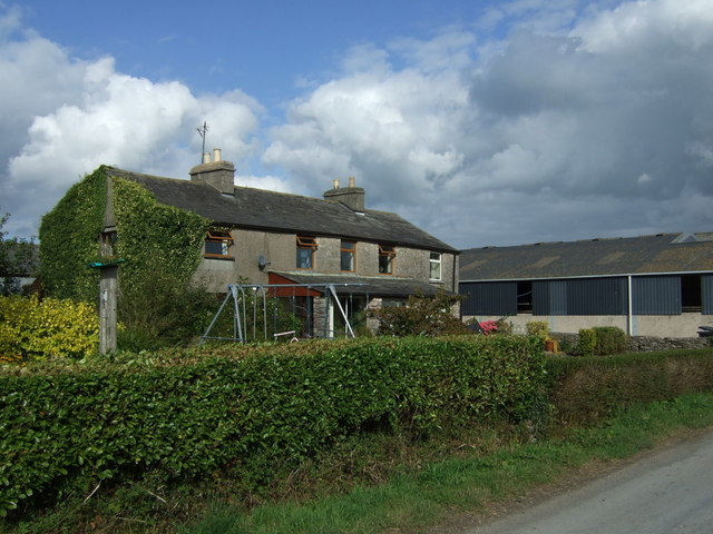
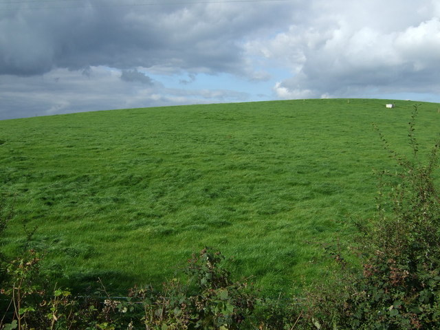
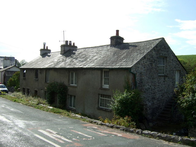
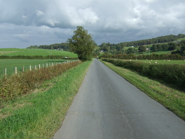
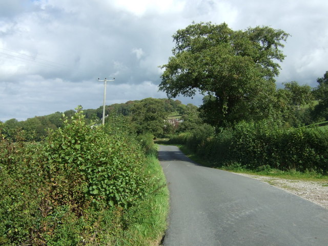
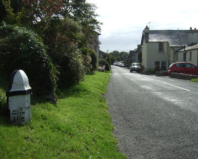
Park Side Plantation Images
Images are sourced within 2km of 54.263316/-2.7708699 or Grid Reference SD4985. Thanks to Geograph Open Source API. All images are credited.
Park Side Plantation is located at Grid Ref: SD4985 (Lat: 54.263316, Lng: -2.7708699)
Administrative County: Cumbria
District: South Lakeland
Police Authority: Cumbria
What 3 Words
///mega.lump.fact. Near Milnthorpe, Cumbria
Nearby Locations
Related Wikis

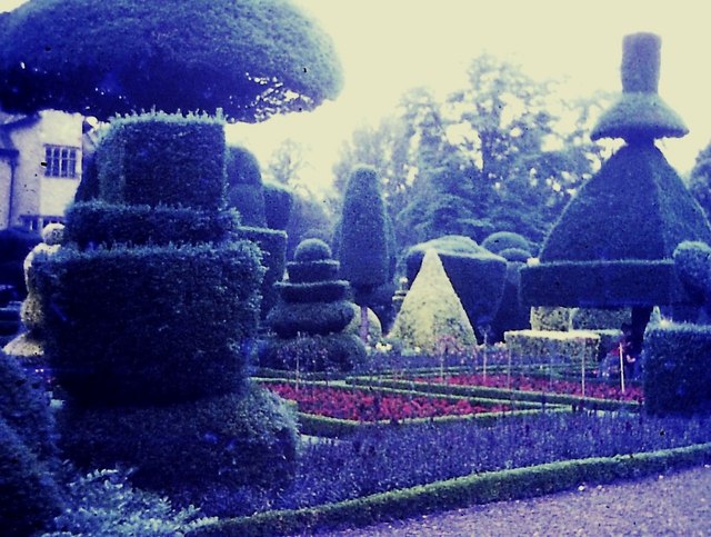
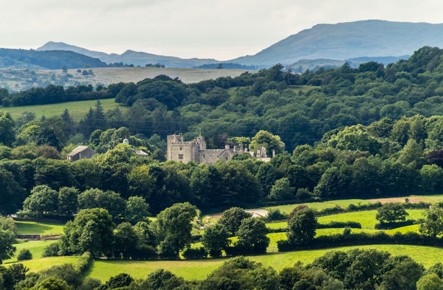
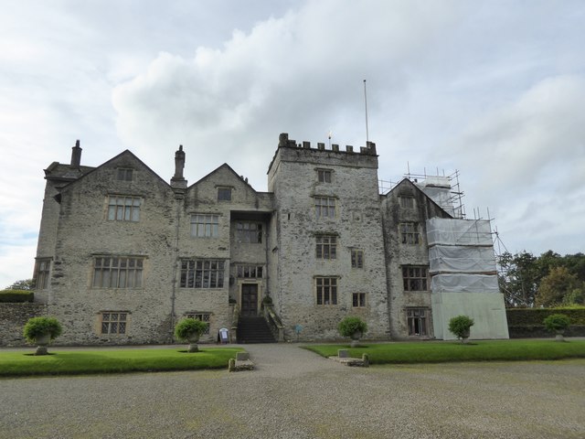
Levens Hall
Levens Hall is a manor house in the Kent valley, near the village of Levens and 5 miles (9 km) south of Kendal in Cumbria, Northern England. == History... ==

Causeway End
Causeway End is a hamlet in Cumbria, England.

Hincaster Tunnel
The Hincaster Tunnel is a canal tunnel on the Lancaster Canal at Hincaster, a hamlet in Cumbria, England. == History == Work to extend the Lancaster Canal...

Levens, Cumbria
Levens is a village and civil parish in Westmorland and Furness, Cumbria. It lies within the historic county of Westmorland. In the 2001 census the parish...
Nearby Amenities
Located within 500m of 54.263316,-2.7708699Have you been to Park Side Plantation?
Leave your review of Park Side Plantation below (or comments, questions and feedback).