Tommy's Wood
Wood, Forest in Lancashire Wyre
England
Tommy's Wood
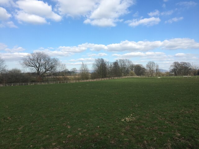
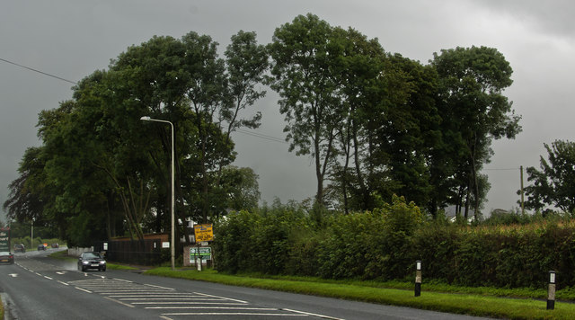
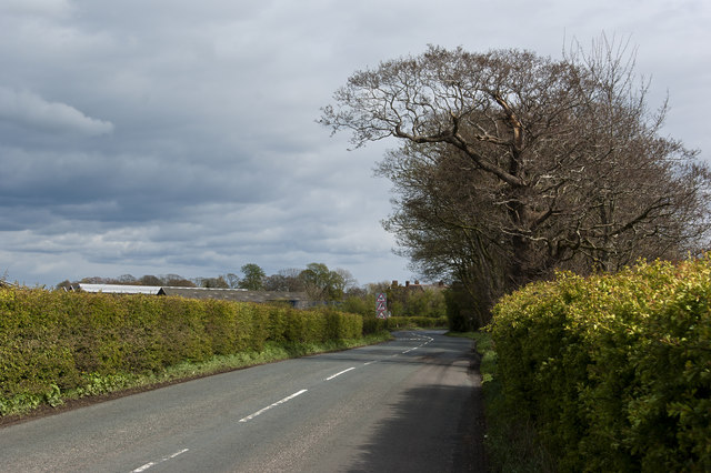
Tommy's Wood is a picturesque forest located in Lancashire, England. Covering an area of approximately 100 acres, it is a popular destination for nature enthusiasts and outdoor lovers alike. The wood is named after Tommy, a local resident who played a significant role in its preservation and conservation efforts.
The wood is home to a diverse range of flora and fauna, showcasing the region's natural beauty. Tall, majestic oak and beech trees dominate the landscape, their sprawling branches providing a canopy of shade during the summer months. The forest floor is adorned with a carpet of wildflowers, creating a vibrant and colorful display.
Visitors to Tommy's Wood can explore an extensive network of well-maintained trails that wind through the forest. These trails offer opportunities for hiking, jogging, and leisurely walks, allowing visitors to immerse themselves in the tranquility of nature. Along the way, benches and picnic areas provide spots for relaxation and enjoying a packed lunch.
The wood is also a haven for wildlife. Birdwatchers can spot a variety of species, including woodpeckers, owls, and songbirds. Squirrels dart among the trees, their playful antics adding to the woodland charm. Deer can occasionally be spotted in the early morning or late evening, adding a touch of enchantment to the experience.
Tommy's Wood is not only a natural retreat but also an important educational resource. Local schools and organizations frequently organize field trips to teach children about the importance of woodland conservation and the ecosystems it supports.
Overall, Tommy's Wood is a cherished local treasure, providing a place of solace and serenity for visitors while serving as a vital habitat for the region's diverse flora and fauna.
If you have any feedback on the listing, please let us know in the comments section below.
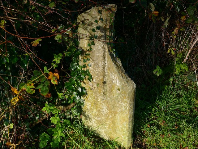
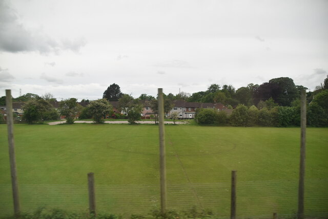
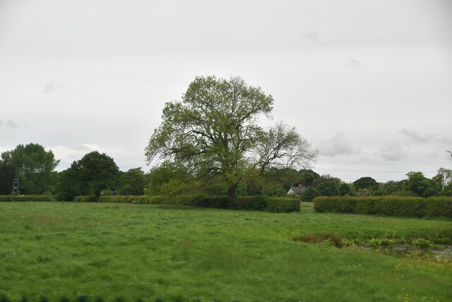
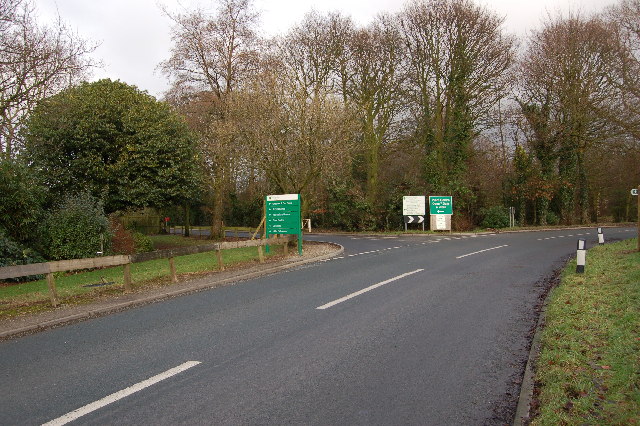
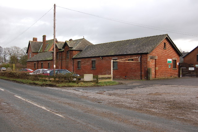
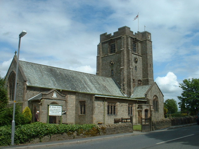
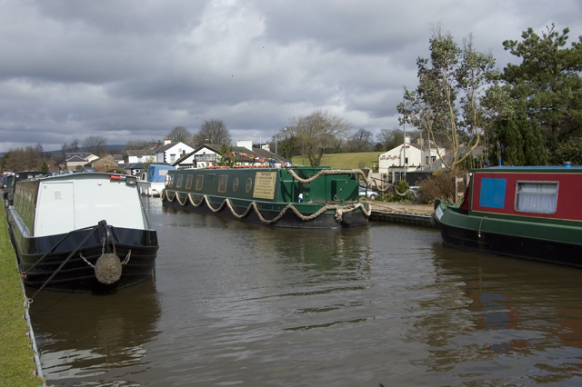
Tommy's Wood Images
Images are sourced within 2km of 53.867216/-2.7635813 or Grid Reference SD4941. Thanks to Geograph Open Source API. All images are credited.


Tommy's Wood is located at Grid Ref: SD4941 (Lat: 53.867216, Lng: -2.7635813)
Administrative County: Lancashire
District: Wyre
Police Authority: Lancashire
What 3 Words
///keeps.pegged.custodian. Near Catterall, Lancashire
Nearby Locations
Related Wikis
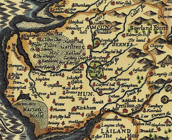
Amounderness Hundred
The Amounderness Hundred ( ə-MUN-dər-nəs) is one of the six subdivisions of the historic county of Lancashire in North West England, but the name is older...

Catterall
Catterall is a village and civil parish in the borough of Wyre, Lancashire, England. Historically in the Amounderness Hundred, it is situated on the A6...

Myerscough College
Myerscough College (pronounced as Myers-coe) is a Higher and Further Education college near Bilsborrow on the Fylde in Lancashire, England. == Origins... ==
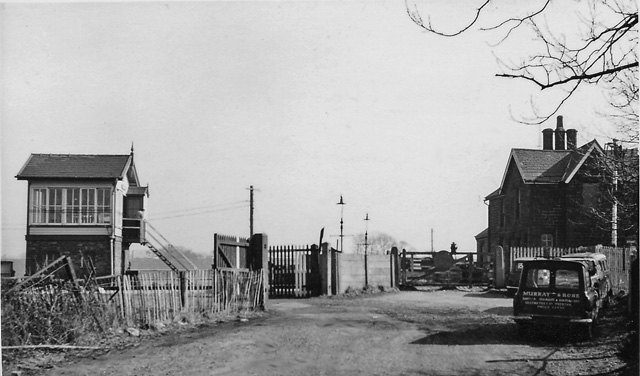
Brock railway station
Brock railway station served the hamlet of Brock near Bilsborrow, Lancashire, England, from 1849 to 1939 on the Lancaster and Preston Junction Railway...
Myerscough, Lancashire
Myerscough is a hamlet and former civil parish on the River Brock, 14 miles (23 km) from Lancaster, now in the parish of Myerscough and Bilsborrow, in...
Bilsborrow
Bilsborrow is a village and former civil parish, now in the parish of Myerscough and Bilsborrow, in the Wyre district, in the county of Lancashire, England...
Myerscough and Bilsborrow
Myerscough and Bilsborrow () is a civil parish in the Borough of Wyre in Lancashire, England. It was formed on 1 April 2003 as a merger of the former parishes...

St Helen's Church, Churchtown
St Helen's Church is an Anglican church in the village of Churchtown in Lancashire, England. Historically, it was the parish church of Garstang; today...
Have you been to Tommy's Wood?
Leave your review of Tommy's Wood below (or comments, questions and feedback).