Levens Br
Heritage Site in Westmorland South Lakeland
England
Levens Br
Levens Bridge, located in Westmorland, England, is a historical heritage site that dates back to the 18th century. The bridge is an exquisite example of a stone arch bridge, with three elegant arches spanning the River Kent. It is situated in the picturesque village of Levens, just south of Kendal.
The bridge was built in 1763 by James and John Wilson, local stonemasons renowned for their craftsmanship during the Georgian era. It was constructed using local limestone, which has weathered beautifully over the centuries, giving the bridge a charming rustic appearance. The arches are sturdy and well-preserved, showcasing the skills of the builders.
Levens Bridge is not only architecturally impressive but also serves as an important transportation link for the village and surrounding areas. It has been a vital crossing point for centuries, connecting Levens to Kendal and other nearby towns. The bridge has stood the test of time, enduring the flow of the River Kent and the weight of countless vehicles that have crossed it over the years.
Visitors to Levens Bridge can appreciate its historical significance and aesthetic appeal. The bridge is surrounded by idyllic countryside, offering picturesque views of the River Kent and the surrounding landscape. It has become a popular spot for photography enthusiasts, artists, and nature lovers alike.
Overall, Levens Bridge in Westmorland is a remarkable heritage site that combines architectural beauty, historical significance, and natural splendor. It stands as a testament to the skilled craftsmanship of its builders and continues to serve as a vital link for the local community.
If you have any feedback on the listing, please let us know in the comments section below.
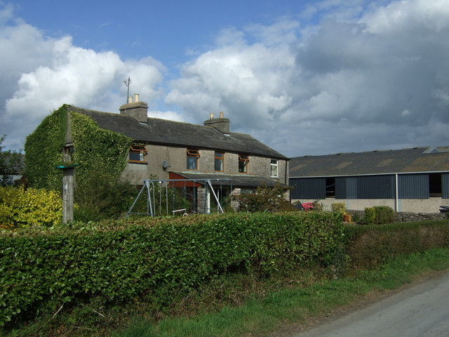
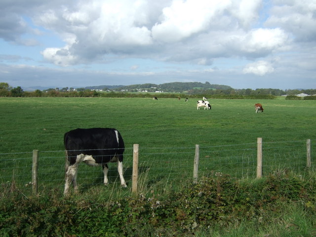
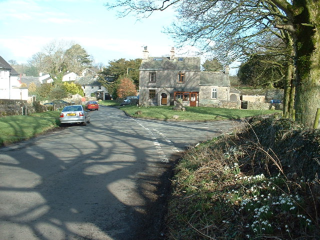
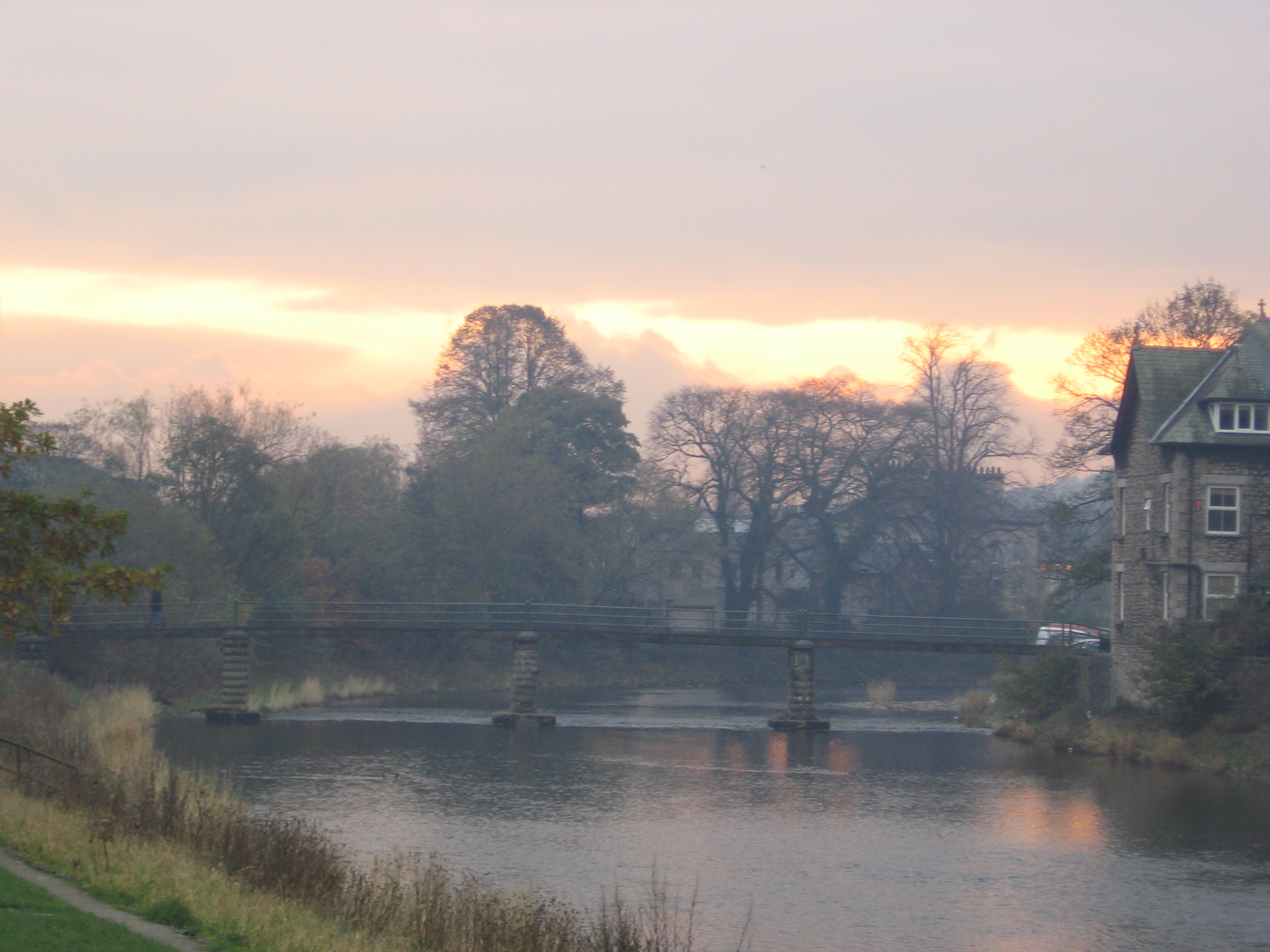
Levens Br Images
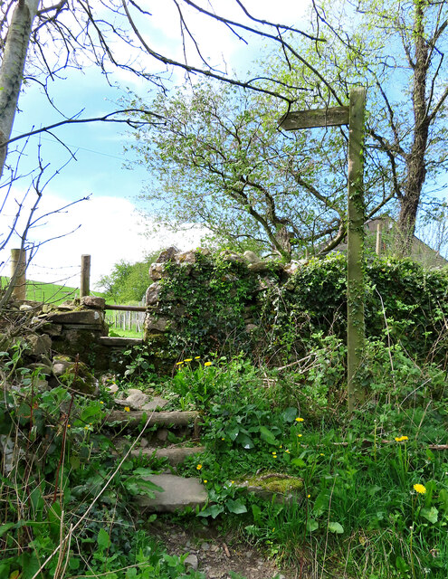
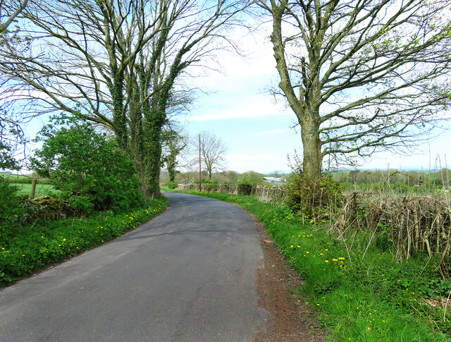
Images are sourced within 2km of 54.263/-2.775 or Grid Reference SD4985. Thanks to Geograph Open Source API. All images are credited.
Levens Br is located at Grid Ref: SD4985 (Lat: 54.263, Lng: -2.775)
Administrative County: Cumbria
District: South Lakeland
Police Authority: Cumbria
What 3 Words
///chucked.genetics.afterglow. Near Milnthorpe, Cumbria
Related Wikis

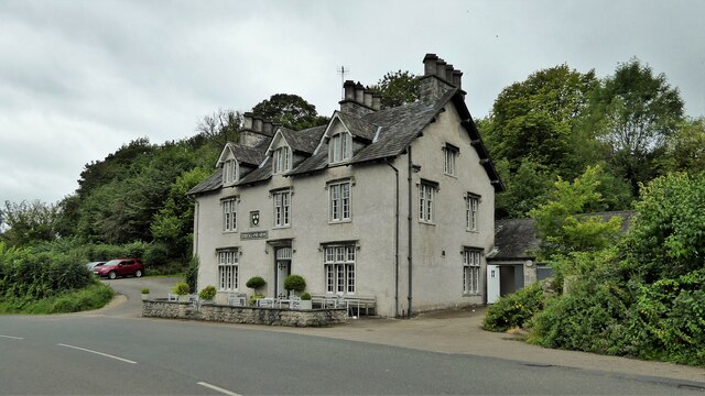
Levens Hall
Levens Hall is a manor house in the Kent valley, near the village of Levens and 5 miles (9 km) south of Kendal in Cumbria, Northern England. == History... ==

Causeway End
Causeway End is a hamlet in Cumbria, England.

Levens, Cumbria
Levens is a village and civil parish in Westmorland and Furness, Cumbria. It lies within the historic county of Westmorland. In the 2001 census the parish...
Hincaster
Hincaster is a small hamlet and civil parish in the South Lakeland district of Cumbria, England, located between Kendal and Milnthorpe. In the 2001 census...

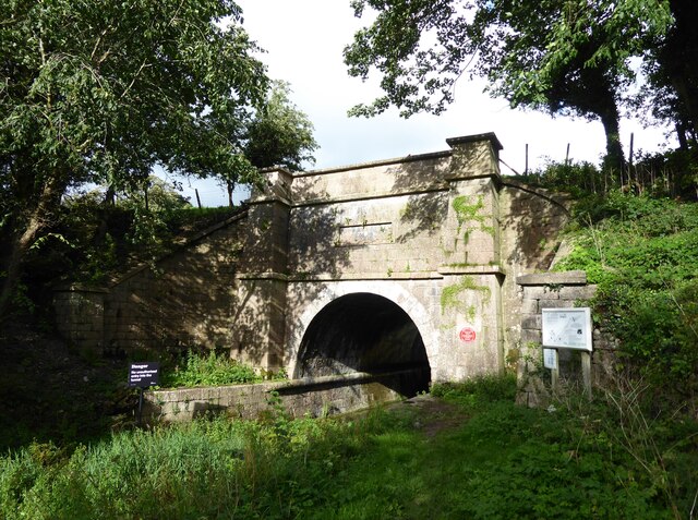
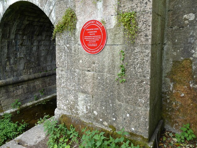
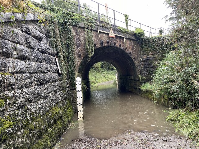
Hincaster Tunnel
The Hincaster Tunnel is a canal tunnel on the Lancaster Canal at Hincaster, a hamlet in Cumbria, England. == History == Work to extend the Lancaster Canal...
River Kent
The River Kent is a short river in the county of Cumbria in England. It originates in hills surrounding Kentmere, and flows for around 20 miles (32 km...

Cotes, Cumbria
Cotes is a hamlet in Cumbria, England. == References ==

Sedgwick House, Cumbria
Sedgwick House is located to the west of the village of Sedgwick, Cumbria, England. It was built as a country house, was later used as a school, and then...
Nearby Amenities
Located within 500m of 54.263,-2.775Have you been to Levens Br?
Leave your review of Levens Br below (or comments, questions and feedback).