Lawrence House Plantation

Wood, Forest in Westmorland South Lakeland

England

Lawrence House Plantation

Topiary gardens at Levens Hall in 1975
Topiary gardens at Levens Hall in 1975 Credit: Clint Mann

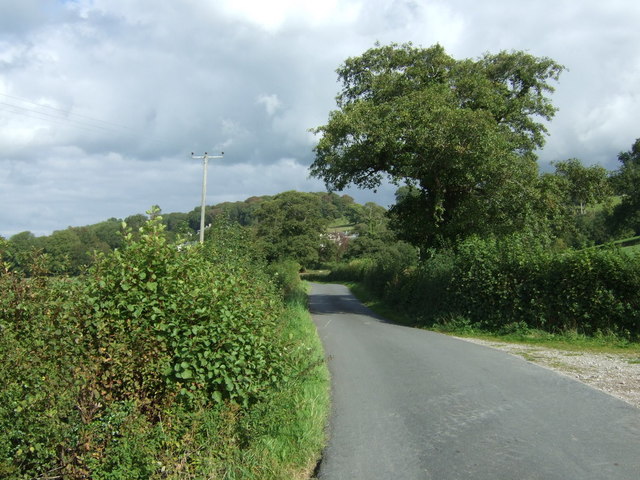
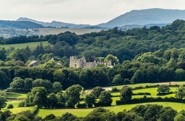
Lawrence House Plantation is a historic estate located in Westmorland, a county in the northwest region of England. Situated amidst a lush woodland, the plantation encompasses a vast area of picturesque landscape and dense forest. With its serene surroundings and natural beauty, Lawrence House Plantation serves as a popular destination for nature enthusiasts, hikers, and those seeking a tranquil retreat.

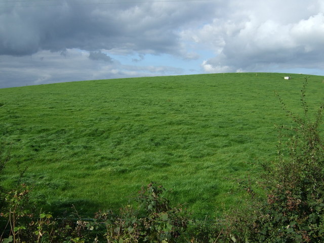
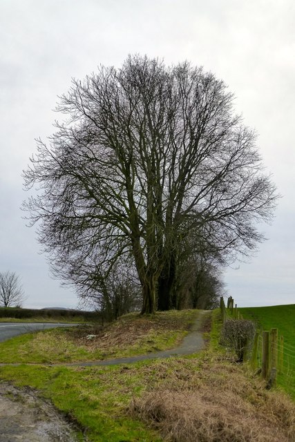
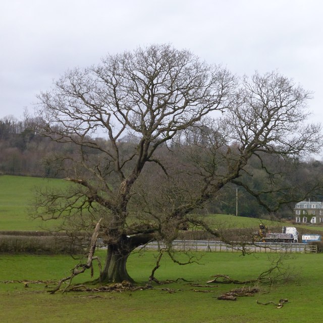
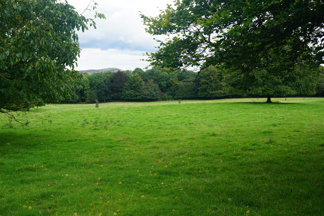
The plantation boasts a diverse range of plant species, including towering oak and beech trees, which provide a habitat for an array of wildlife such as deer, squirrels, and various bird species. The well-preserved woodlands are a haven for nature lovers, offering a peaceful setting for walks, birdwatching, and photography.

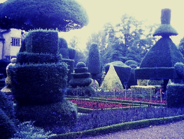
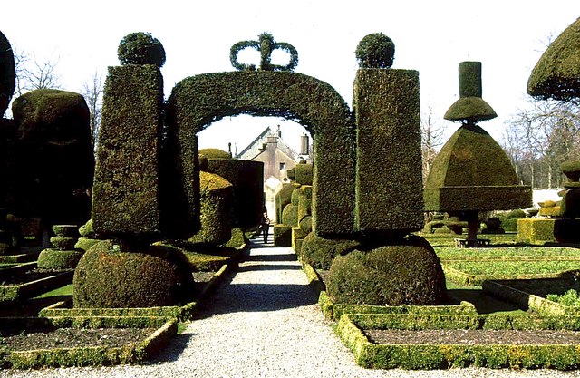
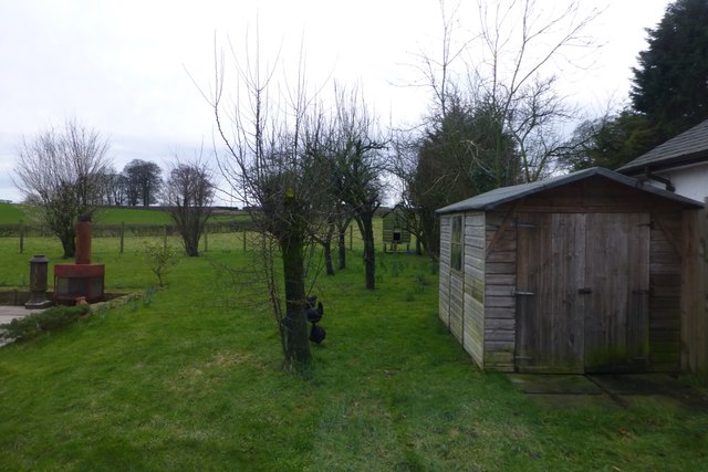
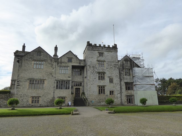
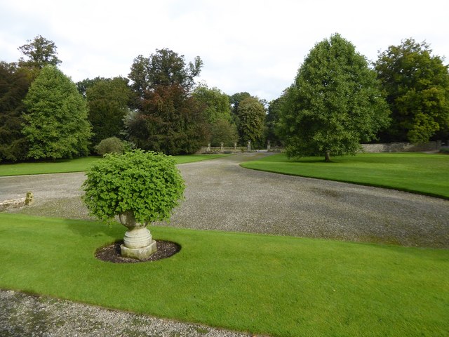
Lawrence House, a stately manor, is the centerpiece of the plantation. This grand mansion dates back to the 18th century and showcases stunning architectural features, including ornate detailing and impressive gardens. The house itself is not open to the public, but visitors can admire its exterior and explore the surrounding grounds.

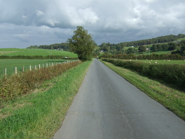
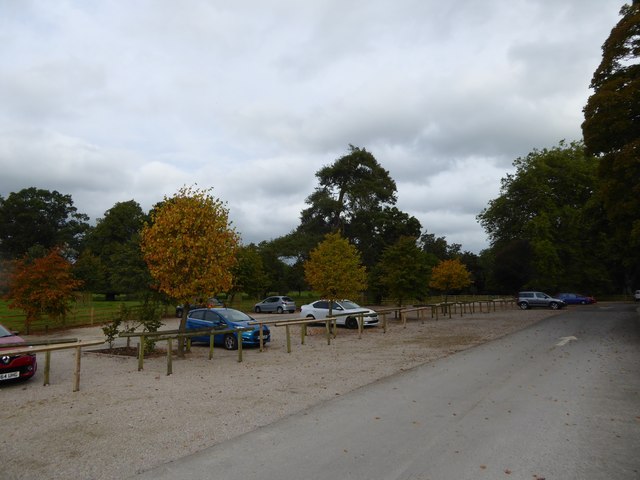
The plantation also houses several walking trails, allowing visitors to explore the woodland at their leisure. These trails offer varying degrees of difficulty, catering to both casual strollers and avid hikers. Additionally, Lawrence House Plantation hosts regular events, including guided nature walks and educational programs, to provide visitors with a deeper understanding of the local flora and fauna.

Whether seeking a peaceful escape or an opportunity to immerse oneself in nature, Lawrence House Plantation in Westmorland offers a captivating experience that leaves visitors with a lasting impression of the region's natural beauty and historic charm.

If you have any feedback on the listing, please let us know in the comments section below.

Lawrence House Plantation Images

Images are sourced within 2km of 54.265217/-2.7700149 or Grid Reference SD4985. Thanks to Geograph Open Source API. All images are credited.

Topiary gardens at Levens Hall in 1975
Hillside grazing near Ninezergh
Cottages, Heversham
Cottages, Heversham
Heading north east from College Green Towards the A6.
Heading north east from College Green
Towards the A6.
Minor road towards the A6 Heading north east.
Minor road towards the A6
Heading north east.
Milnthorpe 1 1/2 Milestone, Leasgill.
Milnthorpe 1 1/2
Milestone, Leasgill.
Flooded footpath, Levens Bridge The swollen River Kent has overflowed the public footpath which runs up the north bank. Autumn gales have largely stripped the trees in Levens Park of their leaves.
Flooded footpath, Levens Bridge
The swollen River Kent has overflowed the public footpath which runs up the north bank. Autumn gales have largely stripped the trees in Levens Park of their leaves.
Levens Hall Gardens
Levens Hall Gardens
Path and trees Beside the A6 near Levens.
Path and trees
Beside the A6 near Levens.
Disintegrating tree In a field sandwiched between the A6 (from where this was taken) and the A590 running through the middle distance.  I think it's an ash.
Disintegrating tree
In a field sandwiched between the A6 (from where this was taken) and the A590 running through the middle distance. I think it's an ash.
Garden with hen house and shed This is at Two Acres Guest House.  Not so much a garden as a fenced-off section of a field.  Nice though as were the eggs for breakfast!
Garden with hen house and shed
This is at Two Acres Guest House. Not so much a garden as a fenced-off section of a field. Nice though as were the eggs for breakfast!
The Hare and Hounds Typical of a village pub that has survived this is more of a restaurant than a pub now.  I'd had a very pleasant meal here the previous evening and had had to return in order to retrieve my camera, which I'd left behind.
The Hare and Hounds
Typical of a village pub that has survived this is more of a restaurant than a pub now. I'd had a very pleasant meal here the previous evening and had had to return in order to retrieve my camera, which I'd left behind.
Levens Hall View of Levens Hall.
Levens Hall
View of Levens Hall.
Parkland at Sizergh Castle This land is here just for the vista. It is unexpectedly soggy for the beginning of September.
Parkland at Sizergh Castle
This land is here just for the vista. It is unexpectedly soggy for the beginning of September.
Levens Bridge over River Kent A grade II listed structure, probably dating from the 17th century but extensively adapted for traffic
Levens Bridge over River Kent
A grade II listed structure, probably dating from the 17th century but extensively adapted for traffic
Car park for visitors to Levens Hall
Levens Hall
Levens Hall
Approach to Levens Hall from the north
Show me another place!

Lawrence House Plantation is located at Grid Ref: SD4985 (Lat: 54.265217, Lng: -2.7700149)

Administrative County: Cumbria

District: South Lakeland

Police Authority: Cumbria

What 3 Words

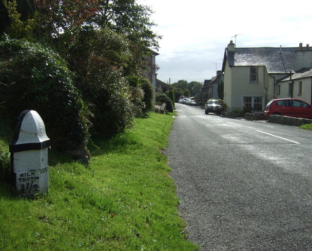
///objecting.dished.running. Near Milnthorpe, Cumbria

Related Wikis

Levens Hall

Levens Hall is a manor house in the Kent valley, near the village of Levens and 5 miles (9 km) south of Kendal in Cumbria, Northern England. == History... ==

Causeway End

Causeway End is a hamlet in Cumbria, England.

Levens, Cumbria

Levens is a village and civil parish in Westmorland and Furness, Cumbria. It lies within the historic county of Westmorland. In the 2001 census the parish...

Hincaster Tunnel

The Hincaster Tunnel is a canal tunnel on the Lancaster Canal at Hincaster, a hamlet in Cumbria, England. == History == Work to extend the Lancaster Canal...

Nearby Amenities

Located within 500m of 54.265217,-2.7700149
Information: guidepost
Tourism: information
Lat/Long: 54.2628339/-2.7751045
Power: pole
Transformer: yes
Lat/Long: 54.2636993/-2.7724023
Power: pole
Lat/Long: 54.2645472/-2.7712806
Power: pole
Lat/Long: 54.2681032/-2.768722
Power: pole
Lat/Long: 54.2670643/-2.7694818
Power: pole
Lat/Long: 54.2662558/-2.7700865
Power: pole
Lat/Long: 54.265521/-2.7706138
Power: pole
Lat/Long: 54.2691277/-2.7679356
Phone
Emergency: phone
Lat/Long: 54.2670445/-2.7738501
Waste Basket
Lat/Long: 54.2670314/-2.7738551
Give Way
Direction: forward
Lat/Long: 54.2663992/-2.774355
The data included in this document is from www.openstreetmap.org. The data is made available under ODbL.

Have you been to Lawrence House Plantation?

Leave your review of Lawrence House Plantation below (or comments, questions and feedback).