Edenbrows Wood
Wood, Forest in Cumberland Carlisle
England
Edenbrows Wood
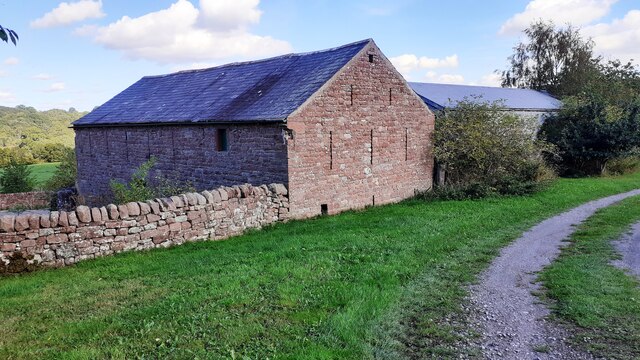
Edenbrows Wood is a picturesque woodland located in the historic county of Cumberland, England. Covering an area of approximately 100 acres, this enchanting forest is nestled within the tranquil countryside, offering a serene retreat for nature lovers and outdoor enthusiasts.
The wood is predominantly composed of native broadleaf trees, with a rich variety of species such as oak, beech, birch, and ash. This diverse mix of trees creates a stunning mosaic of colors during the autumn months, attracting visitors from near and far to witness the breathtaking display.
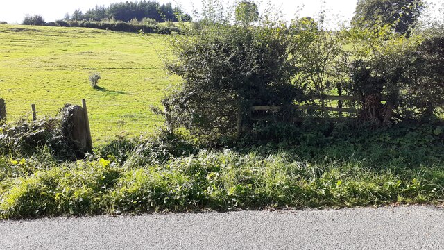
Tranquility reigns supreme in Edenbrows Wood, as the absence of major roads nearby ensures a peaceful ambiance. The forest is crisscrossed by a network of well-maintained footpaths, allowing visitors to explore its hidden treasures at their own pace. These paths wind through the dense foliage, leading to charming glades, enchanting clearings, and babbling brooks that add to the wood's ethereal charm.
The wood is also home to an array of wildlife, providing a haven for numerous species. Birdwatchers can delight in spotting various feathered inhabitants, including woodpeckers, owls, and thrushes. Foxes, badgers, and squirrels are often seen scurrying through the undergrowth, adding a touch of magic to any visit.
Edenbrows Wood is a popular destination for outdoor activities such as walking, jogging, and picnicking. Visitors can relish the opportunity to disconnect from the hustle and bustle of modern life, immersing themselves in the beauty of nature while breathing in the fresh, crisp air.
In summary, Edenbrows Wood is a captivating woodland in Cumberland, offering a haven of tranquility and natural beauty. With its diverse array of trees, abundant wildlife, and well-maintained footpaths, it provides the perfect escape for those seeking solace in nature.
If you have any feedback on the listing, please let us know in the comments section below.
Edenbrows Wood Images
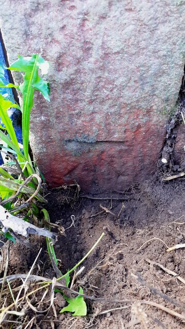
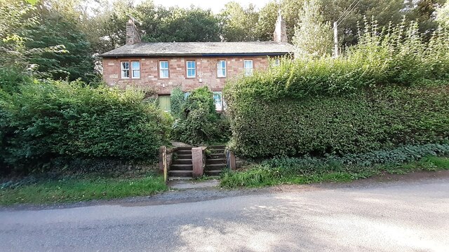
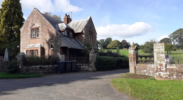
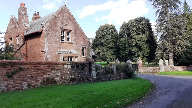
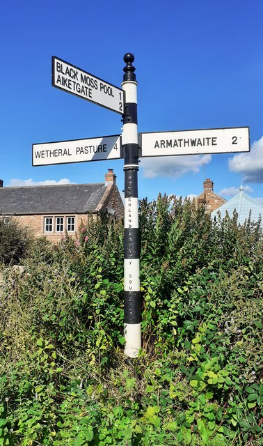
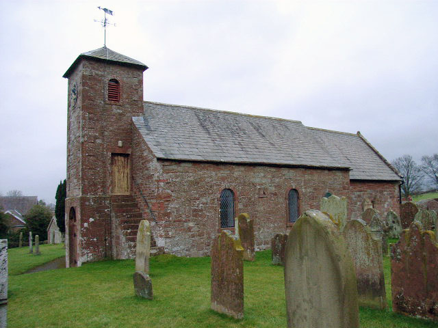
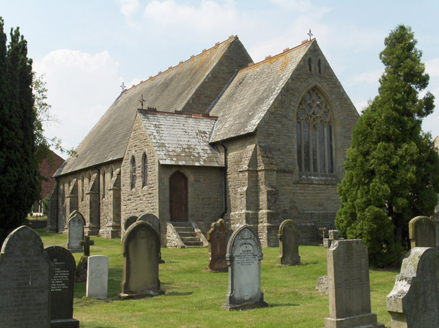
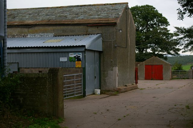
Images are sourced within 2km of 54.837329/-2.7809017 or Grid Reference NY4949. Thanks to Geograph Open Source API. All images are credited.


Edenbrows Wood is located at Grid Ref: NY4949 (Lat: 54.837329, Lng: -2.7809017)
Administrative County: Cumbria
District: Carlisle
Police Authority: Cumbria
What 3 Words
///unions.refer.nasal. Near Wetheral, Cumbria
Nearby Locations
Related Wikis

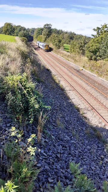
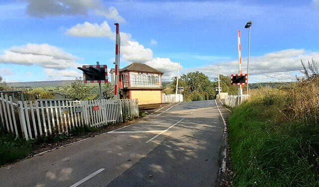
Cotehill railway station
Cotehill railway station was a railway station on the Settle-Carlisle Railway in England between Armathwaite and Cumwhinton. The line opened for passengers...
Cumwhitton
Cumwhitton is a small village and civil parish close to Carlisle in Cumbria, England. It lies just east of the M6 and the nearest train station is located...

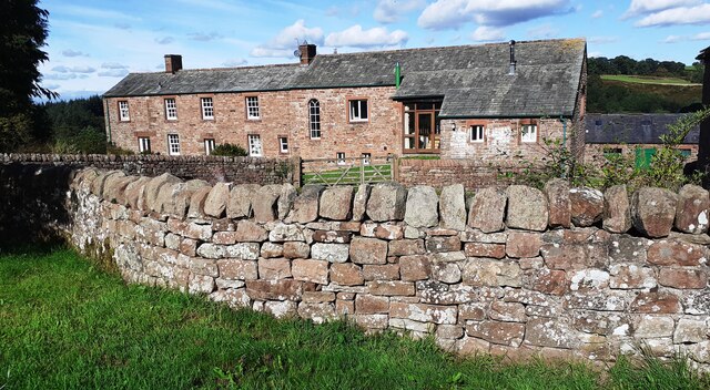
Low House, Wetheral
Low House is an 18th-century Georgian manor house located one and a half miles north of the village of Armathwaite in the Eden Valley of Cumbria, England...

Armathwaite railway station
Armathwaite is a railway station on the Settle and Carlisle Line, which runs between Carlisle and Leeds via Settle. The station, situated 9 miles 75 chains...
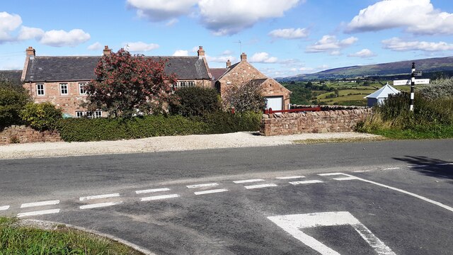
Cotehill
Cotehill is a village in Cumbria, England. In 1870-72 the township/chapelry had a population of 333. == See also == Cotehill railway station Listed buildings...
Aiketgate
Aiketgate is a small village in the English county of Cumbria. It is within the civil parish of Hesket. Development of wind turbines in the Eden Valley...

Armathwaite
Armathwaite is a village in the English ceremonial county of Cumbria. Historically within the county of Cumberland, Armathwaite lies on the River Eden...
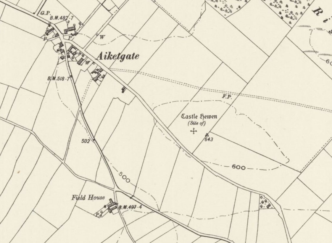
Castle Hewen
Castle Hewen (also recorded as Castlewen; Castle Luen; Castellewyn; Castellewyne; Castlehewings; Castle-Ewaine and Castle Lewen) was a Romano-British castle...
Nearby Amenities
Located within 500m of 54.837329,-2.7809017Have you been to Edenbrows Wood?
Leave your review of Edenbrows Wood below (or comments, questions and feedback).