Moss Syke Wood

Wood, Forest in Lancashire Lancaster

England

Moss Syke Wood

OS Bench Mark OS cut bench mark from the 19th century levelling, on building NW of crossroads. 55.5 feet above old datum. Clear despite being painted over.
OS Bench Mark Credit: Phil Johnstone

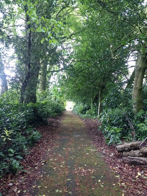
Moss Syke Wood is a stunning natural woodland located in Lancashire, England. Covering an area of approximately 20 acres, this ancient woodland is characterized by its dense canopy of oak, beech, and silver birch trees, which create a tranquil and picturesque setting for visitors to explore.

The woodland is home to a wide variety of flora and fauna, including bluebells, wood anemones, and ferns, as well as a diverse range of bird species such as woodpeckers, owls, and thrushes. Visitors can also spot small mammals like squirrels, rabbits, and deer roaming through the undergrowth.

Moss Syke Wood offers a network of well-maintained footpaths that wind their way through the trees, providing opportunities for leisurely walks and nature hikes. The woodland is a popular destination for birdwatchers, nature enthusiasts, and families looking to enjoy a peaceful day out in the great outdoors.

Overall, Moss Syke Wood is a beautiful and serene woodland area that offers a peaceful escape from the hustle and bustle of everyday life. Its natural beauty and diverse wildlife make it a must-visit destination for anyone looking to connect with nature in Lancashire.

If you have any feedback on the listing, please let us know in the comments section below.

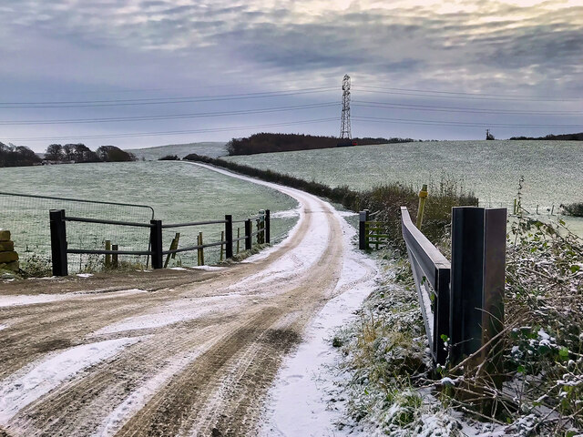
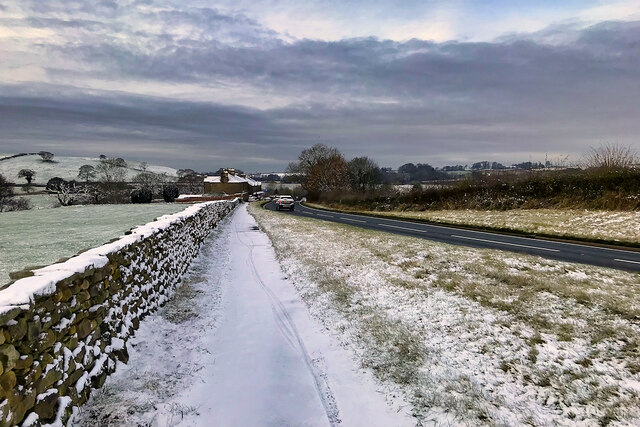
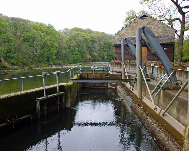
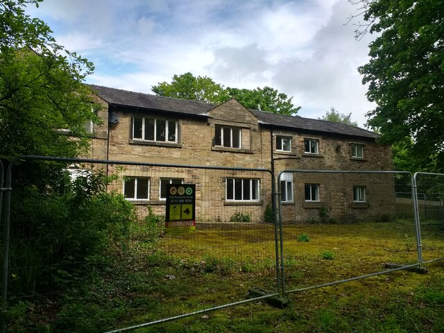
Moss Syke Wood Images

Images are sourced within 2km of 54.065194/-2.7662015 or Grid Reference SD4963. Thanks to Geograph Open Source API. All images are credited.

OS Bench Mark OS cut bench mark from the 19th century levelling, on building NW of crossroads. 55.5 feet above old datum. Clear despite being painted over.
OS Bench Mark
OS cut bench mark from the 19th century levelling, on building NW of crossroads. 55.5 feet above old datum. Clear despite being painted over.
Track towards Old Parkside Farm
A683 near Halton Looking westwards from just past the layby, about ½ mile to the east of junction 34 of the M6 motorway.
A683 near Halton
Looking westwards from just past the layby, about ½ mile to the east of junction 34 of the M6 motorway.
Halton railway station and goods shed Situated on the ‘Little’ North Western Railway line from Skipton - Morecambe, one stop from the company’s Lancaster station. The line left what would eventually be the Ingleton Branch at Clapham Junction. A later joint line to Carnforth left at Wennington, which is the line that remains in use today for Leeds - Lancaster services. Absorbed into the Midland Railway, the station was burned down in 1907 having been set alight by a spark from a Heysham - St Pancras boat train.  The buildings are used today by Lancaster University boat clubs. Closed 1966.
Halton railway station and goods shed
Situated on the ‘Little’ North Western Railway line from Skipton - Morecambe, one stop from the company’s Lancaster station. The line left what would eventually be the Ingleton Branch at Clapham Junction. A later joint line to Carnforth left at Wennington, which is the line that remains in use today for Leeds - Lancaster services. Absorbed into the Midland Railway, the station was burned down in 1907 having been set alight by a spark from a Heysham - St Pancras boat train. The buildings are used today by Lancaster University boat clubs. Closed 1966.
Halton Lune Hydro Looking downstream.
The inlet screens are on the right. See <a href="https://www.geograph.org.uk/photo/5693715">SD5164 : Halton Lune Hydro</a> for more information.
Halton Lune Hydro
Looking downstream. The inlet screens are on the right. See SD5164 : Halton Lune Hydro for more information.
St Wilfrid's Hall nursing home, disused
St Wilfrid's Hall nursing home, disused entrance path
St Wilfrid's Hall nursing home, disused entrance path gate
View upstream of the Lune from near the fishing hut, Forge Lane, Halton
Old Milestone, High Road, Halton The milestone is located at the junction with Lunesdale Road by No 128, on the deep verge, on the south east side of the road. Parish of Halton-With-Aughton (Lancaster District). Carved stone post erected in the 19th century.

Inscription reads:-
XI : : III

Milestone Society National ID: LA_KLLA11
Old Milestone, High Road, Halton
The milestone is located at the junction with Lunesdale Road by No 128, on the deep verge, on the south east side of the road. Parish of Halton-With-Aughton (Lancaster District). Carved stone post erected in the 19th century. Inscription reads:- XI : : III Milestone Society National ID: LA_KLLA11
Foundry Close, Halton A recent housing development of 76 homes, completed c.2022. This sloping ground with mature trees at the eastern end of the estate has been left as open space. A new footpath connects to the Lune riverside path. The building on the left is a business/industrial unit, part of Halton Mills.
Foundry Close, Halton
A recent housing development of 76 homes, completed c.2022. This sloping ground with mature trees at the eastern end of the estate has been left as open space. A new footpath connects to the Lune riverside path. The building on the left is a business/industrial unit, part of Halton Mills.
On Halton Bridge Looking along the bridge across the River Lune at Halton. There's just enough room for a single lane of traffic and a footpath. For information, see <a href="https://www.geograph.org.uk/photo/4443214">SD5064 : Halton bridge</a>
On Halton Bridge
Looking along the bridge across the River Lune at Halton. There's just enough room for a single lane of traffic and a footpath. For information, see SD5064 : Halton bridge
Halton Bridge view This amazing old bridge across the River Lune is still in use though recent road developments have removed most of its traffic. <a href="https://www.geograph.org.uk/photo/4443214">SD5064 : Halton bridge</a> gives useful information.
Halton Bridge view
This amazing old bridge across the River Lune is still in use though recent road developments have removed most of its traffic. SD5064 : Halton bridge gives useful information.
The Lower Weir at Halton Viewed looking up the Lune from the old bridge at Halton.
The Lower Weir at Halton
Viewed looking up the Lune from the old bridge at Halton.
Ice on the River Lune, looking downstream from Halton Bridge
Ice on the River Lune at Halton weir looking upstream from Halton Bridge
Halton Mills Halton Mills alongside the River Lune.
Halton Mills
Halton Mills alongside the River Lune.
Halton Local shops in Halton.
Halton
Local shops in Halton.
Show me another place!

Moss Syke Wood is located at Grid Ref: SD4963 (Lat: 54.065194, Lng: -2.7662015)

Administrative County: Lancashire

District: Lancaster

Police Authority: Lancashire

What 3 Words

///ample.reconnect.moral. Near Halton, Lancashire

Related Wikis

Bulk, Lancashire

Bulk is an area of Lancaster, Lancashire, England. It was formerly a township and a civil parish. The placename Bulke was recorded in 1346. The manor of...

Lancaster University Boat Club

Lancaster University Boat Club (LUBC) is the rowing club of Lancaster University. The club was founded in 1964 with the inception of the university by...

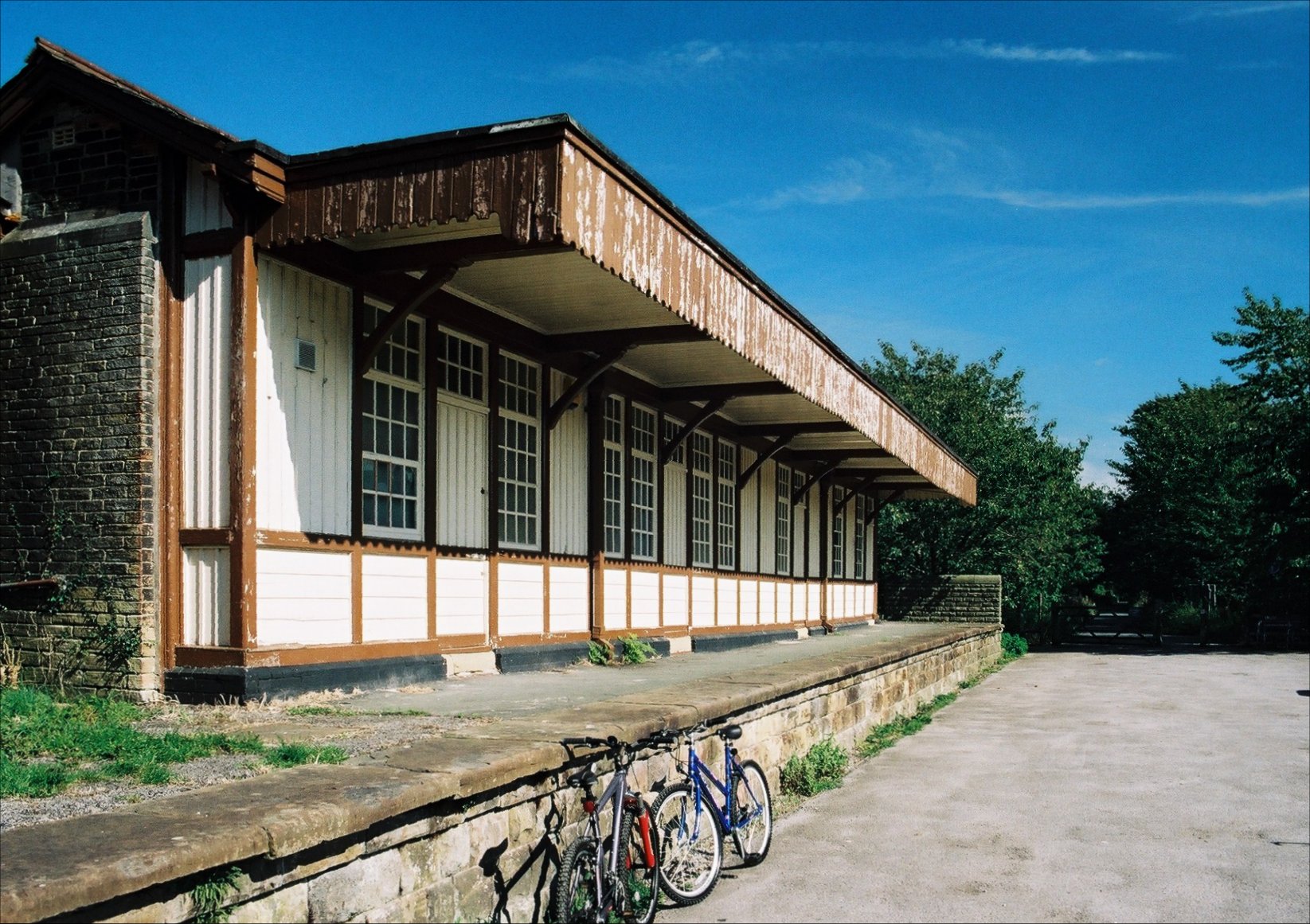
Halton railway station (Lancashire)

Halton railway station served the village of Halton in Lancashire, England. It closed in 1966, but the station building and part of one platform survive...

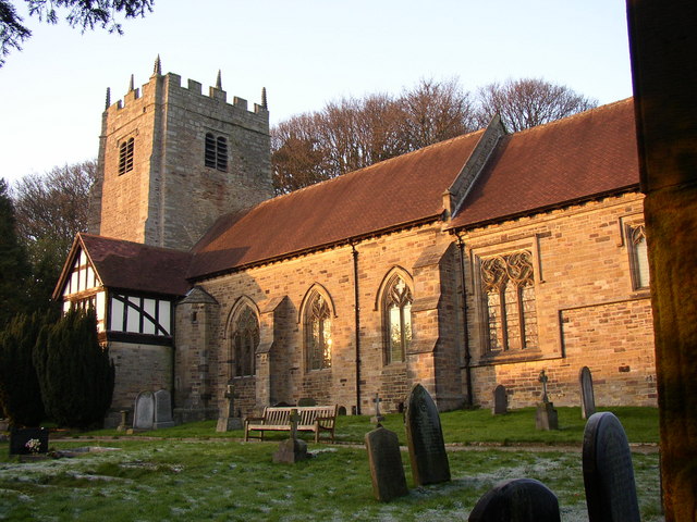
St Wilfrid's Church, Halton-on-Lune

St Wilfrid's Church is an Anglican church in Halton-on-Lune, a village in the English county of Lancashire. It is an active parish church in the Diocese...

Have you been to Moss Syke Wood?

Leave your review of Moss Syke Wood below (or comments, questions and feedback).