Bell Wood

Wood, Forest in Westmorland South Lakeland

England

Bell Wood

The Strickland Arms At the entrance to Sizergh Castle, the Strickland Arms is named for the family who have owned the Castle for centuries.
The Strickland Arms Credit: Eirian Evans

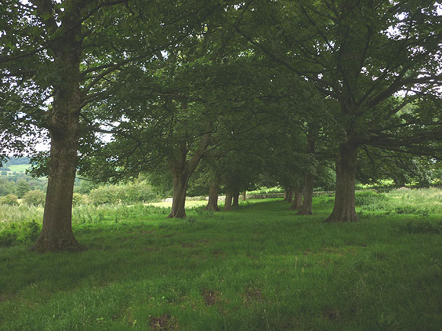
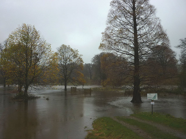
Bell Wood is a picturesque forest located in the county of Westmorland, England. It is an ancient woodland that covers an area of approximately 200 acres, renowned for its natural beauty and diverse ecosystem. The wood is situated on the outskirts of the small village of Bell, nestled between rolling hills and meandering streams.

The woodland is predominantly composed of deciduous trees, including oak, beech, and ash, which create a stunning tapestry of colors throughout the year. The forest floor is covered with a rich carpet of wildflowers, ferns, and mosses, adding to the enchanting atmosphere of the wood. Several well-marked trails wind their way through the forest, providing visitors with the opportunity to explore its many hidden gems.

Bell Wood is home to a wide variety of wildlife, making it a popular destination for nature enthusiasts and birdwatchers. Red squirrels can often be spotted darting between the trees, while the melodious songs of woodland birds fill the air. In spring, the wood becomes a haven for bluebells, creating a breathtaking sea of vibrant blue.

The forest is also steeped in history, with evidence of human activity dating back thousands of years. Remnants of ancient settlements and burial mounds can be found within the wood, adding an intriguing layer of archaeological significance.

Bell Wood, Westmorland, offers a serene and tranquil escape from the hustle and bustle of modern life. Its natural beauty, diverse flora and fauna, and rich historical heritage make it a cherished destination for both locals and visitors alike.

If you have any feedback on the listing, please let us know in the comments section below.
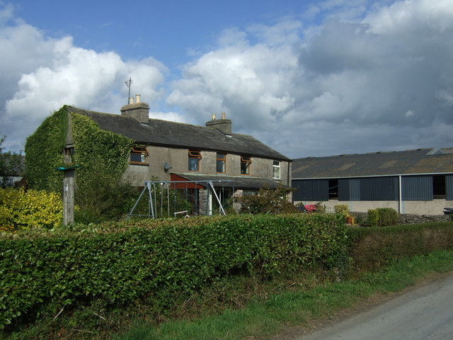
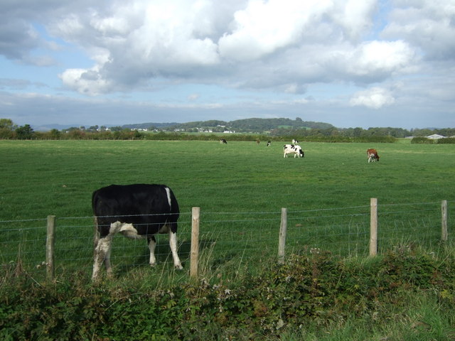
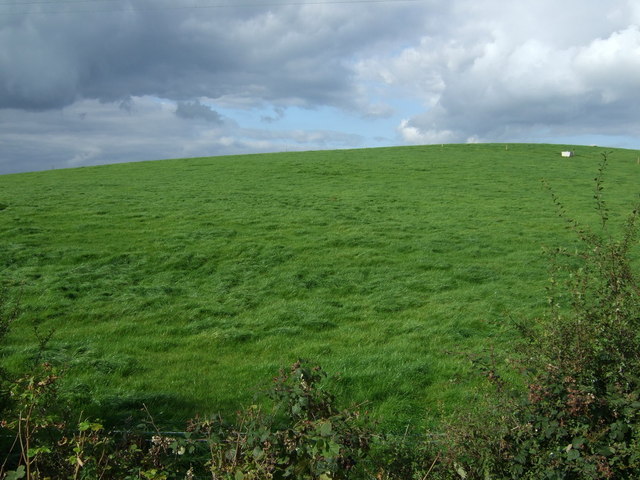
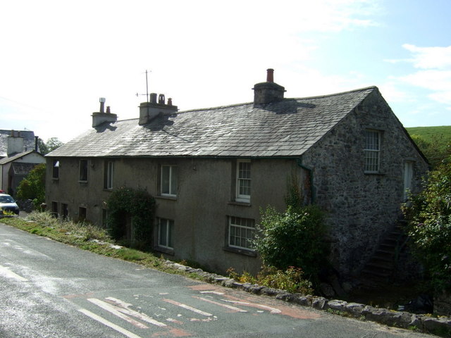
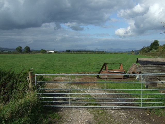
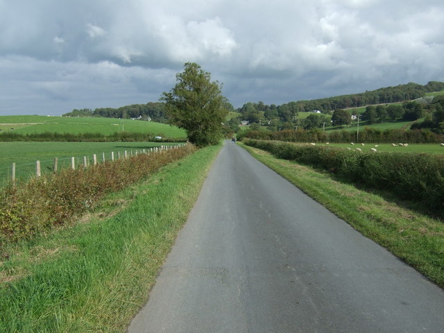
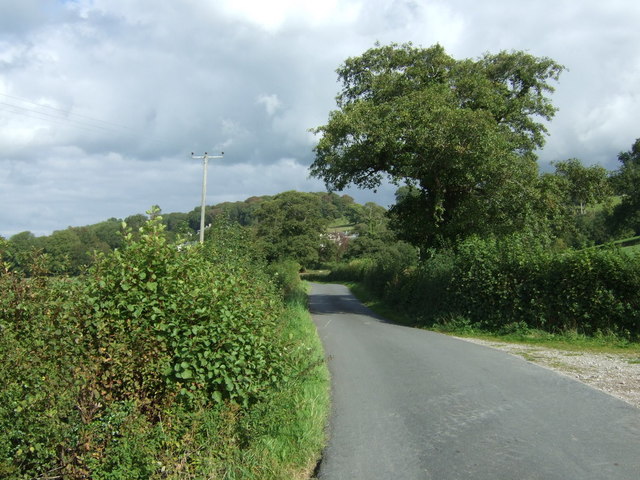
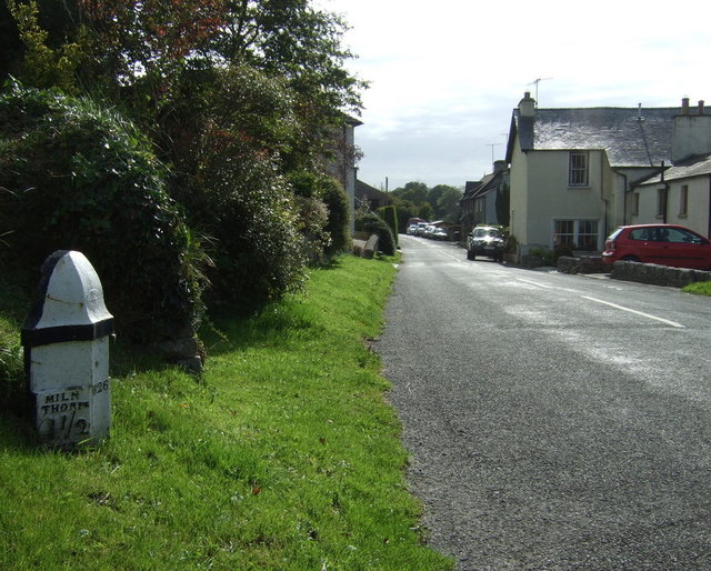
Bell Wood Images

Images are sourced within 2km of 54.264318/-2.781298 or Grid Reference SD4985. Thanks to Geograph Open Source API. All images are credited.

The Strickland Arms At the entrance to Sizergh Castle, the Strickland Arms is named for the family who have owned the Castle for centuries.
The Strickland Arms
At the entrance to Sizergh Castle, the Strickland Arms is named for the family who have owned the Castle for centuries.
The west end of Hincaster Tunnel Opened on the 18th June 1819, the 378 yard tunnel was built to facilitate access to Kendal by the Lancaster Canal.
The tunnel had fallen into disuse by the mid 1940s and it was officially closed in 1955.
There is an Ordnance Survey 1GL bolt benchmark on the pilaster to the right of the tunnel entrance (detail photograph <a href="https://www.geograph.org.uk/photo/7364790">SD5085 : Benchmark, Hincaster Tunnel</a>).
The west end of Hincaster Tunnel
Opened on the 18th June 1819, the 378 yard tunnel was built to facilitate access to Kendal by the Lancaster Canal. The tunnel had fallen into disuse by the mid 1940s and it was officially closed in 1955. There is an Ordnance Survey 1GL bolt benchmark on the pilaster to the right of the tunnel entrance (detail photograph SD5085 : Benchmark, Hincaster Tunnel).
Old Milestone Marker 05-52 F (between bridges 176-175), Lancaster Canal Old Milestone located by the side of the dry section of the Lancaster Canal. This milestone is 52 miles from the centre of Preston and 5 miles from Kendal. 

Inscription reads:- 
22 :: 5 
(Miles from Lancaster and Kendal respectively)

Milestone Society National ID: LAN-52
Old Milestone Marker 05-52 F (between bridges 176-175), Lancaster Canal
Old Milestone located by the side of the dry section of the Lancaster Canal. This milestone is 52 miles from the centre of Preston and 5 miles from Kendal. Inscription reads:- 22 :: 5 (Miles from Lancaster and Kendal respectively) Milestone Society National ID: LAN-52
Benchmark, Hincaster Tunnel Detail of the Ordnance Survey 1GL Published Abstract Bolt benchmark on the west portal of Hincaster Tunnel. The benchmark marks a height of 45.9205m above mean sea level (Ordnance Datum Newlyn) last levelled and verified in 1971 (location photograph <a href="https://www.geograph.org.uk/photo/7364809">SD5085 : Transport Trust Red Wheel</a>).
Benchmark, Hincaster Tunnel
Detail of the Ordnance Survey 1GL Published Abstract Bolt benchmark on the west portal of Hincaster Tunnel. The benchmark marks a height of 45.9205m above mean sea level (Ordnance Datum Newlyn) last levelled and verified in 1971 (location photograph SD5085 : Transport Trust Red Wheel).
Transport Trust Red Wheel On the west portal of Hincaster Tunnel, the Transport Trust ‘Red Wheel’ sign highlights the importance of the tunnel as a transport heritage site.
The Transport Trust is Britain’s only charity dedicated to the preservation of all modes of transport and its infrastructure and the Red Wheel heritage plaque is the transport equivalent of an English Heritage Blue Plaque.
There is an Ordnance Survey bolt benchmark on the wall directly below the plaque (detail photograph <a href="https://www.geograph.org.uk/photo/7364790">SD5085 : Benchmark, Hincaster Tunnel</a>).
Transport Trust Red Wheel
On the west portal of Hincaster Tunnel, the Transport Trust ‘Red Wheel’ sign highlights the importance of the tunnel as a transport heritage site. The Transport Trust is Britain’s only charity dedicated to the preservation of all modes of transport and its infrastructure and the Red Wheel heritage plaque is the transport equivalent of an English Heritage Blue Plaque. There is an Ordnance Survey bolt benchmark on the wall directly below the plaque (detail photograph SD5085 : Benchmark, Hincaster Tunnel).
Strickland Arms South of Sizergh Castle
Strickland Arms
South of Sizergh Castle
Avenue of trees near Eversley The short footpath follows an avenue of sycamores between Grievegate Lane and the minor road to Leasgill.
Avenue of trees near Eversley
The short footpath follows an avenue of sycamores between Grievegate Lane and the minor road to Leasgill.
Topiary gardens at Levens Hall in 1975
College Green
College Green
Grazing near College Green
Hillside grazing near Ninezergh
Cottages, Heversham
Cottages, Heversham
Field entrance, College Green
Heading north east from College Green Towards the A6.
Heading north east from College Green
Towards the A6.
Minor road towards the A6 Heading north east.
Minor road towards the A6
Heading north east.
Milnthorpe 1 1/2 Milestone, Leasgill.
Milnthorpe 1 1/2
Milestone, Leasgill.
Flooded footpath, Levens Bridge The swollen River Kent has overflowed the public footpath which runs up the north bank. Autumn gales have largely stripped the trees in Levens Park of their leaves.
Flooded footpath, Levens Bridge
The swollen River Kent has overflowed the public footpath which runs up the north bank. Autumn gales have largely stripped the trees in Levens Park of their leaves.
Levens Hall Gardens
Levens Hall Gardens
Show me another place!

Bell Wood is located at Grid Ref: SD4985 (Lat: 54.264318, Lng: -2.781298)

Administrative County: Cumbria

District: South Lakeland

Police Authority: Cumbria

What 3 Words

///director.fussy.harmonica. Near Milnthorpe, Cumbria

Related Wikis

Causeway End

Causeway End is a hamlet in Cumbria, England.
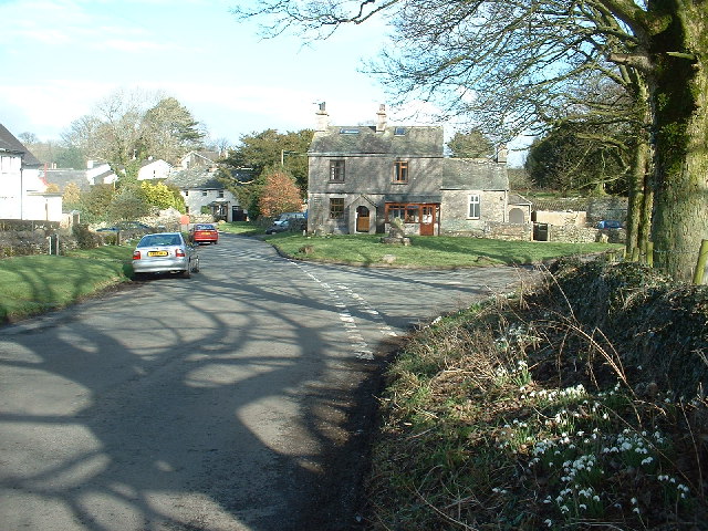
Levens, Cumbria

Levens is a village and civil parish in Westmorland and Furness, Cumbria. It lies within the historic county of Westmorland. In the 2001 census the parish...
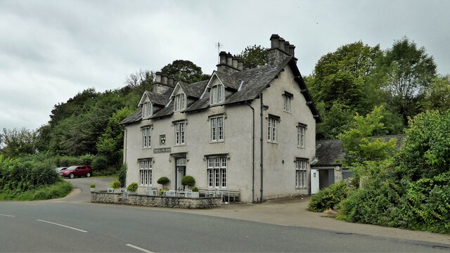
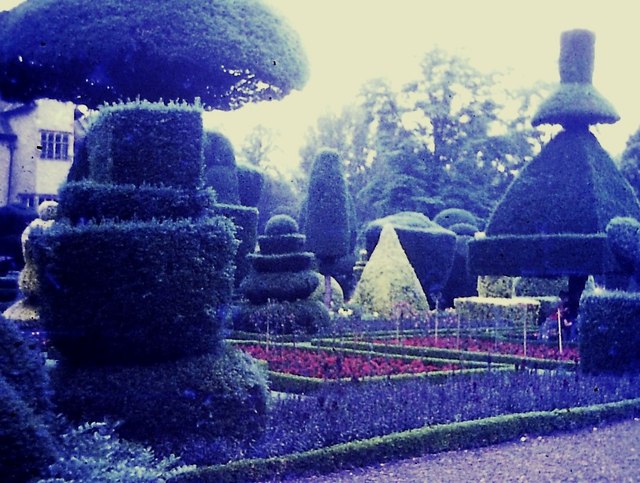
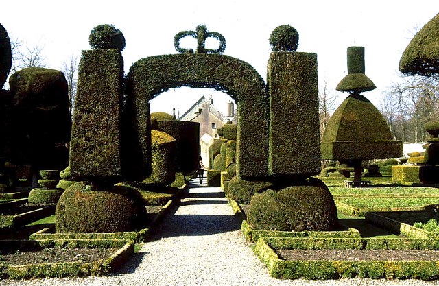
Levens Hall

Levens Hall is a manor house in the Kent valley, near the village of Levens and 5 miles (9 km) south of Kendal in Cumbria, Northern England. == History... ==

Cotes, Cumbria

Cotes is a hamlet in Cumbria, England. == References ==
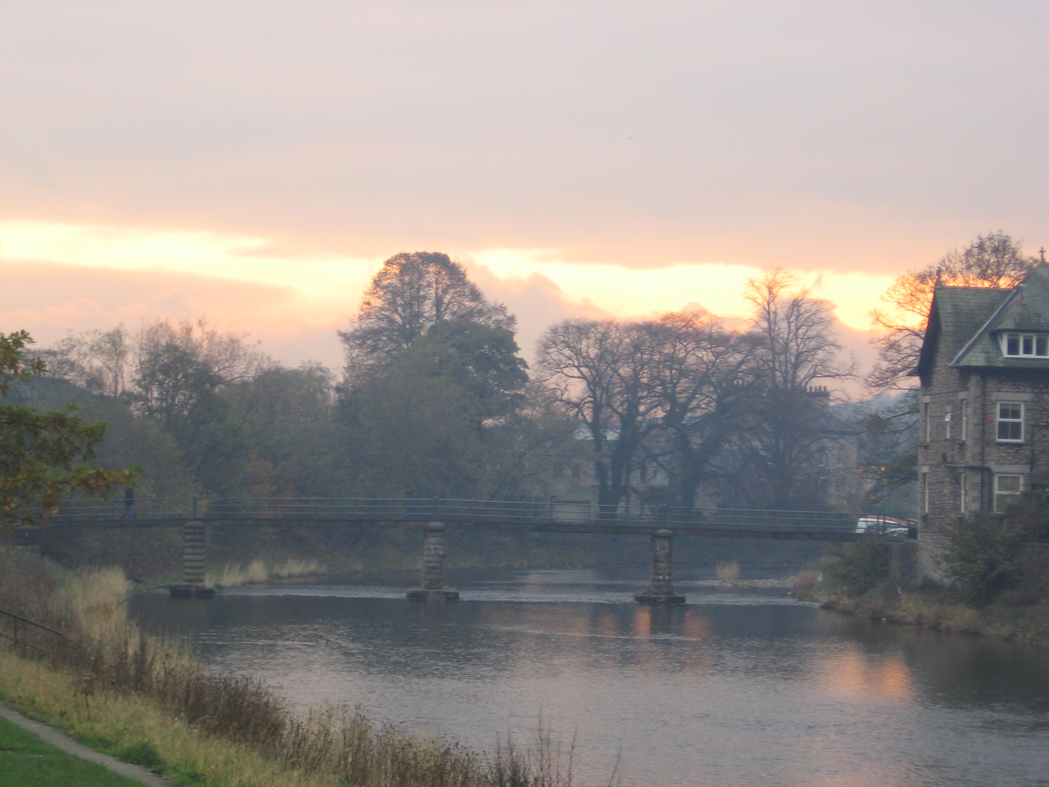
River Kent

The River Kent is a short river in the county of Cumbria in England. It originates in hills surrounding Kentmere, and flows for around 20 miles (32 km...

Hincaster

Hincaster is a small hamlet and civil parish in the South Lakeland district of Cumbria, England, located between Kendal and Milnthorpe. In the 2001 census...
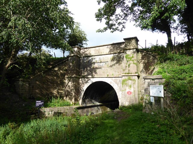
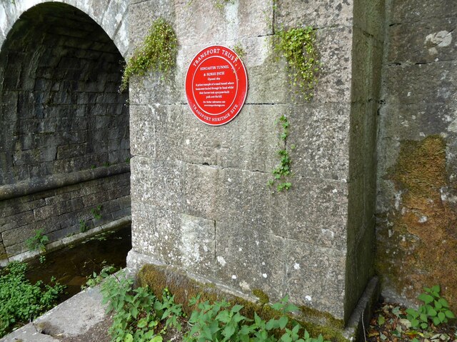
Hincaster Tunnel

The Hincaster Tunnel is a canal tunnel on the Lancaster Canal at Hincaster, a hamlet in Cumbria, England. == History == Work to extend the Lancaster Canal...

River Gilpin

The River Gilpin is a river in the English county of Cumbria. Formerly, the river was in the county of Westmorland. The river rises near Gilpin Lodge in...

Nearby Amenities

Located within 500m of 54.264318,-2.781298
Barrier: stile
Material: wood
Step Count: 3
Stile: ladder
Lat/Long: 54.2637733/-2.7790835
Bus Stop
Levens Bridge
Bus: yes
Naptan AtcoCode: 090079433309
Naptan Bearing: W
Naptan BusStopType: CUS
Naptan CommonName: Levens Bridge
Naptan Indicator: o/s
Naptan Landmark: Levens Hall
Naptan LocalityCode: E0044905
Naptan NaptanCode: cumdmadj
Naptan Street: A6
Naptan Verified: no
Public Transport: platform
Ref: cumdmadj
Shelter: no
Source: naptan_import
Lat/Long: 54.2609/-2.77666
Bus Stop
A590 Slip Road
Bench: no
Bus: yes
Check Date Shelter: 2023-08-05
Naptan AtcoCode: 090079434214
Naptan Bearing: NE
Naptan BusStopType: MKD
Naptan CommonName: A590 Slip Road
Naptan Indicator: near
Naptan Landmark: Bellhill Farm Cottages
Naptan LocalityCode: E0044905
Naptan NaptanCode: cumdpwdp
Naptan Street: A590
Naptan Verified: no
Public Transport: platform
Ref: cumdpwdp
Shelter: yes
Source: naptan_import
Lat/Long: 54.2631506/-2.7799005
Barrier: stile
Material: wood
Step Count: 4
Stile: ladder
Lat/Long: 54.2651076/-2.7805729
Give Way
Direction: backward
Lat/Long: 54.261438/-2.779507
Give Way
Direction: forward
Lat/Long: 54.2613499/-2.7834442
Give Way
Direction: forward
Lat/Long: 54.2629319/-2.7804459
Give Way
Direction: forward
Lat/Long: 54.2630697/-2.7805489
Give Way
Direction: forward
Lat/Long: 54.2667122/-2.7871421
Give Way
Direction: backward
Lat/Long: 54.2667737/-2.7866414
Give Way
Direction: forward
Lat/Long: 54.2670482/-2.7866609
A590 Slip Road
Bus: yes
Public Transport: stop_position
Lat/Long: 54.2630958/-2.7797997
Levens Bridge
Bus: yes
Naptan Bearing: W
Public Transport: stop_position
Lat/Long: 54.2609338/-2.7766462
Information: guidepost
Tourism: information
Lat/Long: 54.2628339/-2.7751045
Noexit: yes
Note: Pavement really does just end here, with no continuation and no crossing.
Lat/Long: 54.262756/-2.7801508
Barrier: stile
Lat/Long: 54.2612223/-2.7790001
Information: guidepost
Tourism: information
Lat/Long: 54.2612728/-2.7790019
Kerb: no
Tactile Paving: no
Lat/Long: 54.2614406/-2.7792909
Man Made: street_cabinet
Lat/Long: 54.2637799/-2.7778176
Generator Method: photovoltaic
Generator Output Electricity: yes
Generator Source: solar
Generator Type: solar_photovoltaic_panel
Location: roof
Power: generator
Lat/Long: 54.2664902/-2.7871619
Bench
Lat/Long: 54.2660578/-2.7865644
Bench
Lat/Long: 54.2660956/-2.7864524
Bench
Lat/Long: 54.2661318/-2.7863552
Barrier: stile
Material: stone
Stile: squeezer
Lat/Long: 54.2661145/-2.7876189
Bicycle Parking
Covered: no
Lat/Long: 54.2664838/-2.7865159
The data included in this document is from www.openstreetmap.org. The data is made available under ODbL.

Have you been to Bell Wood?

Leave your review of Bell Wood below (or comments, questions and feedback).