Bateson's Wood
Wood, Forest in Lancashire South Ribble
England
Bateson's Wood

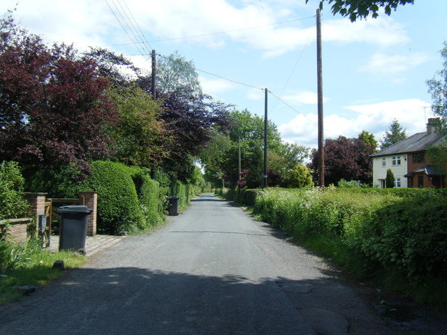
Bateson's Wood is a picturesque woodland located in Lancashire, England. Nestled within the Forest of Bowland Area of Outstanding Natural Beauty, this enchanting woodland spans over an area of approximately 100 acres. It is situated just a few miles away from the village of Slaidburn, making it easily accessible for visitors.
The wood is named after the Bateson family, who have owned the land since the 19th century. It is renowned for its diverse range of tree species, including oak, beech, birch, and ash. These majestic trees create a dense canopy, providing a cool and shaded environment for wildlife and visitors alike. The woodland floor is adorned with a carpet of bluebells during the spring season, creating a breathtaking display of vibrant colors.
Bateson's Wood is a haven for nature enthusiasts, offering abundant opportunities for wildlife spotting. It is home to a variety of bird species, such as woodpeckers, owls, and thrushes. Visitors may also catch glimpses of elusive mammals, including deer, foxes, and badgers. The wood is crisscrossed by a network of walking trails, allowing visitors to explore its natural beauty at their own pace.
The wood is managed by the Bateson family, who are committed to preserving its natural heritage. They have implemented sustainable practices, ensuring the woodland remains a thriving ecosystem for generations to come. Bateson's Wood is a tranquil retreat for those seeking solace in nature, offering a peaceful escape from the hustle and bustle of everyday life.
If you have any feedback on the listing, please let us know in the comments section below.
Bateson's Wood Images
Images are sourced within 2km of 53.737609/-2.7714929 or Grid Reference SD4927. Thanks to Geograph Open Source API. All images are credited.


Bateson's Wood is located at Grid Ref: SD4927 (Lat: 53.737609, Lng: -2.7714929)
Administrative County: Lancashire
District: South Ribble
Police Authority: Lancashire
What 3 Words
///shared.master.thigh. Near Preston, Lancashire
Nearby Locations
Related Wikis

Hutton, Lancashire
Hutton is a village and civil parish in Lancashire, England. It is located 3 miles (4.8 km) south west of Preston, in the South Ribble borough and parliamentary...

River Ribble
The River Ribble runs through North Yorkshire and Lancashire in Northern England. It starts close to the Ribblehead Viaduct in North Yorkshire, and is...
Howick Cross
Howick Cross is a landmark and small hamlet in Penwortham, South Ribble, Lancashire, England. It is located just over 2 miles south west of the city of...
Longton, Lancashire
Longton is a village and civil parish in the west of the borough of South Ribble, Lancashire, England. It is about 4 miles to the south west of Preston...
New Longton and Hutton railway station
New Longton and Hutton station was a railway station on the West Lancashire Railway in England. It was over a mile from each of the villages of Hutton...
All Hallows Catholic High School
All Hallows Catholic High School is a coeducational secondary school located in Penwortham in the English county of Lancashire.Established in 1975, it...

New Longton
New Longton is a village located 4 miles (6 km) south west of Preston, in the district of South Ribble, in the county of Lancashire, North West England...
Longton Bridge railway station
Longton Bridge was a railway station on the West Lancashire Railway in England. It served the village of Longton. == History == The station opened as Longton...
Nearby Amenities
Located within 500m of 53.737609,-2.7714929Have you been to Bateson's Wood?
Leave your review of Bateson's Wood below (or comments, questions and feedback).