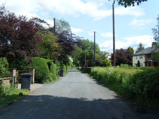
Booth's Plantation
Wood, Forest in Lancashire South Ribble
England
Booth's Plantation

Booth's Plantation is a sprawling woodland located in Lancashire, England. Situated near the town of Wood, the plantation is renowned for its diverse flora and fauna, making it a popular destination for nature enthusiasts and hikers alike. Spanning over a vast area, the plantation is often referred to as a forest due to its extensive coverage of trees.
The woodland is predominantly composed of deciduous trees, including oak, beech, and birch, which create a vibrant canopy during the summer months. This tree cover provides a haven for various species of birds, such as woodpeckers, thrushes, and owls, making it a paradise for birdwatchers. Additionally, the undergrowth is rich in ferns, wildflowers, and mosses, adding to the overall aesthetic appeal of the plantation.
Booth's Plantation is crisscrossed by numerous well-maintained trails, catering to individuals of all fitness levels. These pathways offer visitors the opportunity to explore the woodland at their own pace, immersing themselves in its tranquil atmosphere. Along these trails, one can also encounter occasional clearings that provide picturesque views of the surrounding landscape.
Aside from its natural beauty, Booth's Plantation also holds historical significance. It is believed to have been a part of the ancient hunting grounds of the Booth family, who were prominent landowners in Lancashire during the medieval period. This historical connection lends an air of intrigue and nostalgia to the plantation, attracting history enthusiasts eager to uncover its past.
Overall, Booth's Plantation in Lancashire is an enchanting woodland that captivates visitors with its diverse ecosystem, scenic trails, and historical roots. Whether one seeks solace in nature, enjoys birdwatching, or simply wishes to explore a piece of Lancashire's heritage, this woodland offers a delightful experience for all who venture within its borders.
If you have any feedback on the listing, please let us know in the comments section below.
Booth's Plantation Images
Images are sourced within 2km of 53.740229/-2.7596089 or Grid Reference SD4927. Thanks to Geograph Open Source API. All images are credited.


Booth's Plantation is located at Grid Ref: SD4927 (Lat: 53.740229, Lng: -2.7596089)
Administrative County: Lancashire
District: South Ribble
Police Authority: Lancashire
What 3 Words
///baked.survey.flames. Near Preston, Lancashire
Nearby Locations
Related Wikis
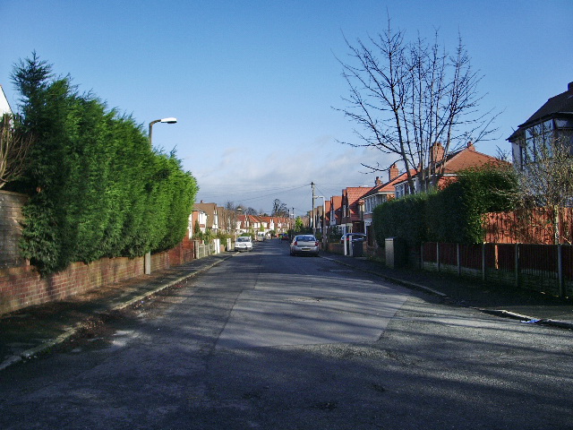
Howick Cross
Howick Cross is a landmark and small hamlet in Penwortham, South Ribble, Lancashire, England. It is located just over 2 miles south west of the city of...

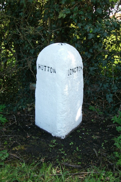
Hutton, Lancashire
Hutton is a village and civil parish in Lancashire, England. It is located 3 miles (4.8 km) south west of Preston, in the South Ribble borough and parliamentary...

River Ribble
The River Ribble runs through North Yorkshire and Lancashire in Northern England. It starts close to the Ribblehead Viaduct in North Yorkshire, and is...
All Hallows Catholic High School
All Hallows Catholic High School is a coeducational secondary school located in Penwortham in the English county of Lancashire.Established in 1975, it...
Penwortham Priory Academy
Penwortham Priory Academy is a coeducational secondary school located in Penwortham in the English county of Lancashire.Previously a community school administered...
New Longton and Hutton railway station
New Longton and Hutton station was a railway station on the West Lancashire Railway in England. It was over a mile from each of the villages of Hutton...

New Longton
New Longton is a village located 4 miles (6 km) south west of Preston, in the district of South Ribble, in the county of Lancashire, North West England...
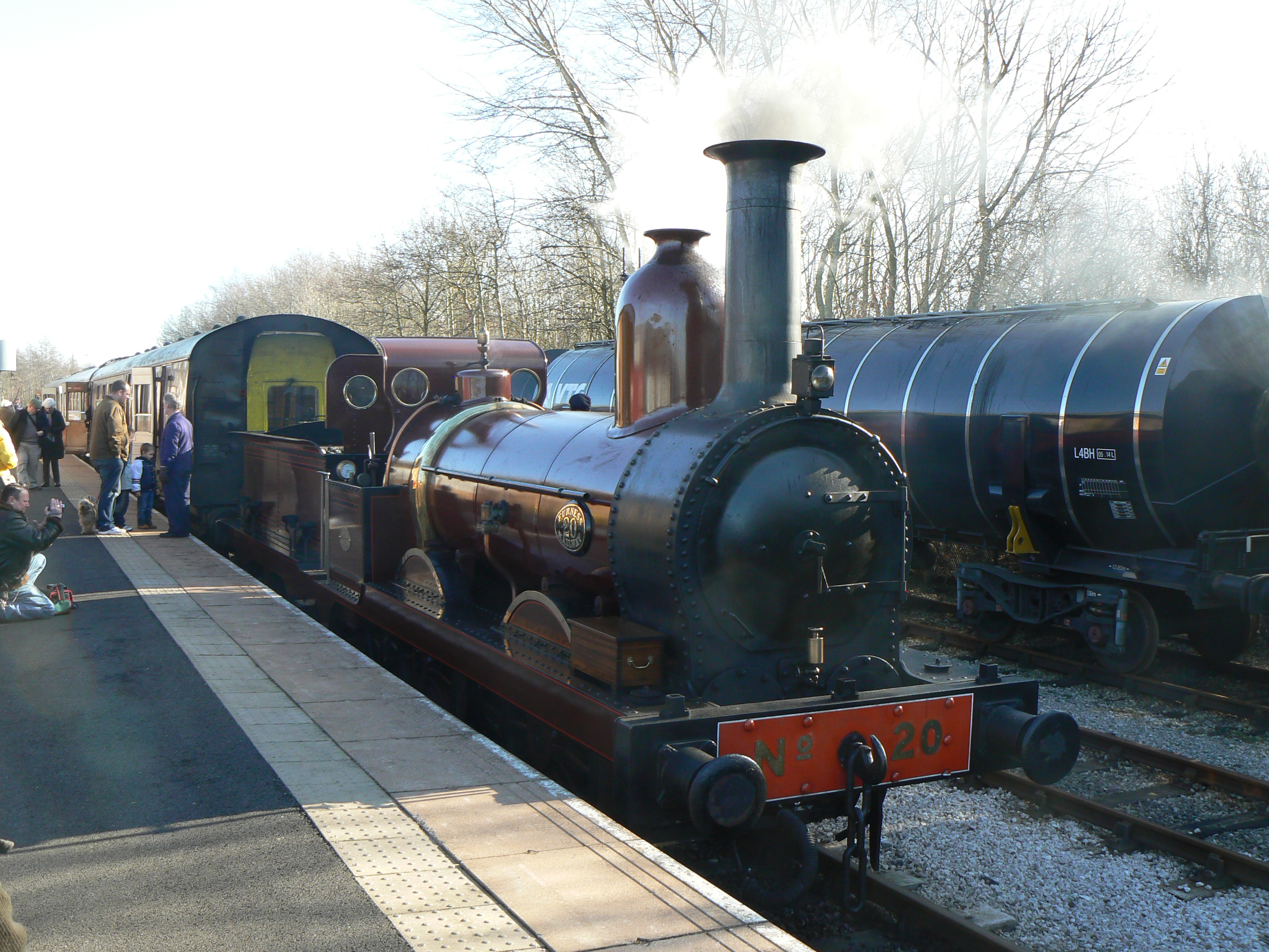
Furness Railway Trust
The Furness Railway Trust is a heritage railway preservation organisation many of whose properties were originally owned by the Furness Railway. It is...
Nearby Amenities
Located within 500m of 53.740229,-2.7596089Have you been to Booth's Plantation?
Leave your review of Booth's Plantation below (or comments, questions and feedback).