Cheston Combe
Valley in Somerset
England
Cheston Combe
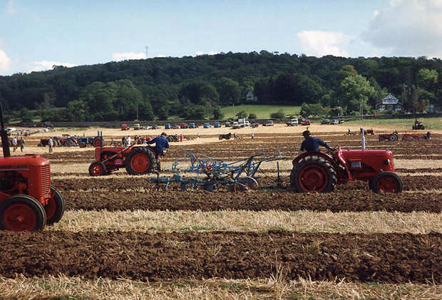
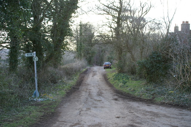
Cheston Combe is a picturesque village located in the county of Somerset, England. Nestled in a lush valley, it offers stunning views of the surrounding countryside. The village is situated at the foot of the Mendip Hills, known for their outstanding natural beauty and diverse wildlife.
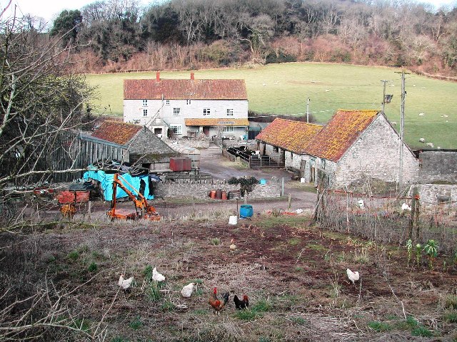
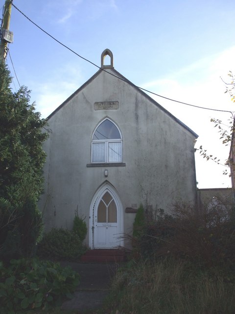
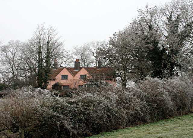
The history of Cheston Combe dates back centuries, with evidence of human activity in the area from the Neolithic period. The village has a rich agricultural heritage, and many of its traditional stone houses and farm buildings still stand today, adding to its charm and character.
One of the main attractions in Cheston Combe is the local church, which dates back to the 12th century. This beautiful building features intricate stained glass windows and a striking bell tower. It is a place of worship, as well as a popular destination for history enthusiasts and architecture lovers.
Outdoor enthusiasts will find plenty to explore in Cheston Combe and its surroundings. The village is a gateway to the Mendip Hills, offering opportunities for hiking, cycling, and horseback riding. The nearby Cheddar Gorge, a dramatic limestone ravine, is a must-visit for nature lovers and rock climbers.
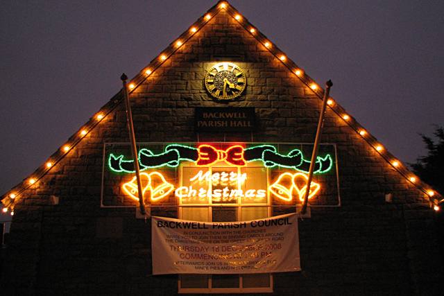
Cheston Combe is also known for its vibrant community spirit, with regular events and festivals held throughout the year. These events bring locals and visitors together, showcasing the village's talent, culture, and heritage.
Overall, Cheston Combe is a charming and idyllic village that offers a tranquil escape from the hustle and bustle of modern life. With its stunning natural surroundings and rich history, it is a hidden gem waiting to be discovered.
If you have any feedback on the listing, please let us know in the comments section below.
Cheston Combe Images
Images are sourced within 2km of 51.408837/-2.7284627 or Grid Reference ST4968. Thanks to Geograph Open Source API. All images are credited.


Cheston Combe is located at Grid Ref: ST4968 (Lat: 51.408837, Lng: -2.7284627)
Unitary Authority: North Somerset
Police Authority: Avon and Somerset
What 3 Words
///equipment.liners.sleep. Near Brockley, Somerset
Nearby Locations
Related Wikis

St Andrew's Church, Backwell
St Andrew's Church is an Anglican church in Backwell, Somerset, England. The church building dates back to the 13thcentury, when the nave, aisles and the...

Backwell
Backwell is a village and civil parish in the unitary authority of North Somerset and in 2011 had a population of 4,589. The village lies about 7 miles...
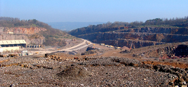
Stancombe Quarry
Stancombe Quarry is a quarry at Flax Bourton near Backwell in the North Somerset district of Somerset, England. The quarry which is operated by Tarmac...
Backwell School
Backwell School is a secondary academy school in Backwell, Bristol, Somerset, England. It was considered to be one of the best-performing state schools...

Ashton & Backwell United F.C.
Ashton & Backwell United Football Club is a football club based in Backwell, Somerset, England. Affiliated to the Somerset FA, they are currently members...

Backwell House
Backwell House, in Backwell, Somerset, England is a house of historical significance and is listed on the English Heritage Register. The house and entrance...
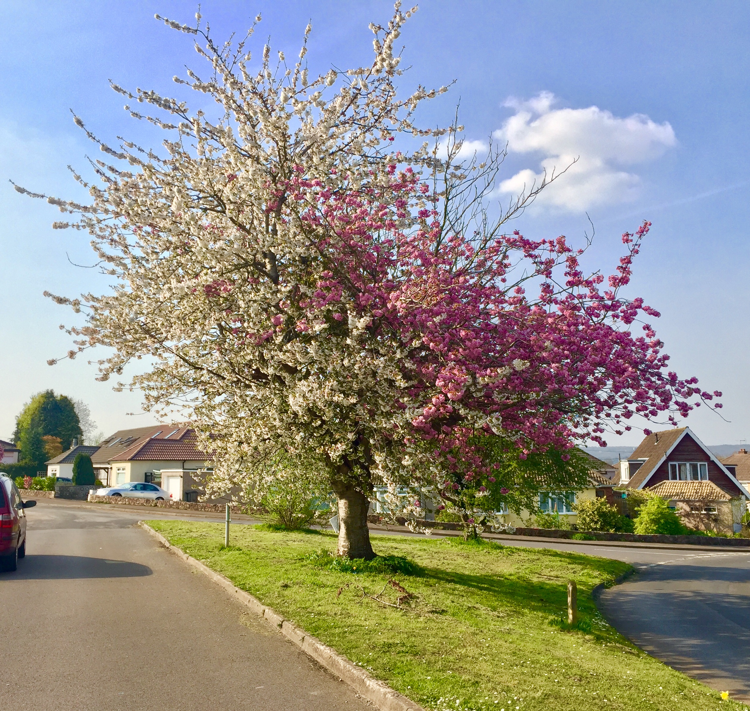
Strawberries and Cream Tree
The Strawberries and Cream Tree is a graft hybrid cherry tree (of Prunus avium and P. serrulata 'Kanzan') in Backwell, North Somerset, England. Planted...
Taps Combe Camp
Taps Combe Camp (also known as Chelvey Batch Settlement) is an Iron Age hill fort in North Somerset, England. The hill fort is situated approximately 1...
Nearby Amenities
Located within 500m of 51.408837,-2.7284627Have you been to Cheston Combe?
Leave your review of Cheston Combe below (or comments, questions and feedback).