Backwell
Civil Parish in Somerset
England
Backwell
Backwell is a civil parish located in the county of Somerset, England. It lies approximately 7 miles southwest of Bristol, and is nestled amidst the rolling countryside of the North Somerset district. The village dates back to the Saxon era and has a rich history, evident in its architecture and landmarks.
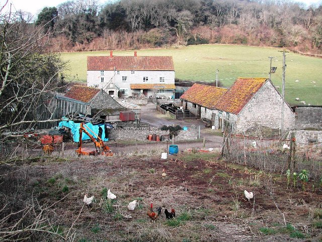
The heart of Backwell is centered around its charming village green, which is surrounded by a variety of period buildings, including the Grade I listed St. Andrew's Church. This beautiful church boasts an impressive Norman tower and dates back to the 12th century. Other notable landmarks include the 14th-century Backwell Court, a manor house with stunning gardens, and the 18th-century Backwell House, now a hotel.
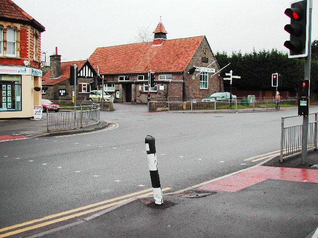
Backwell is a thriving community with a range of amenities and services to cater to its residents. The village has a primary school, several shops, cafes, and pubs, as well as a library and a leisure center. It also benefits from excellent transport links, with a train station connecting it to Bristol, Bath, and other nearby towns.
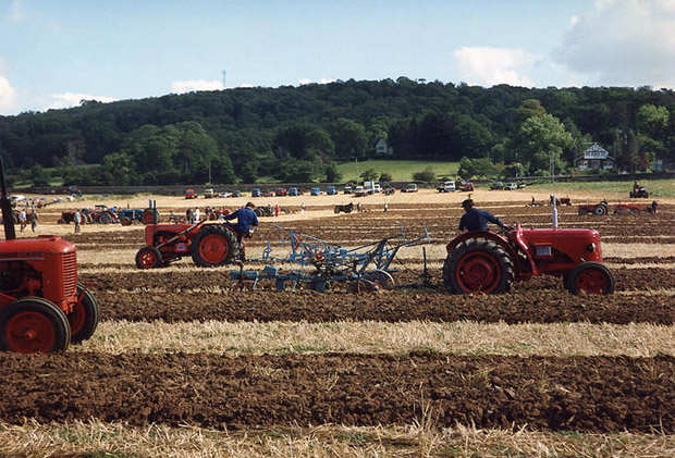
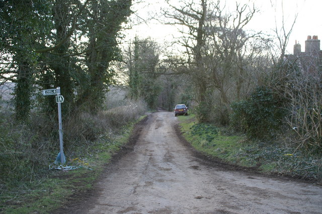
The surrounding countryside offers ample opportunities for outdoor activities, with numerous footpaths and nature reserves nearby. The nearby Brockley Combe is a designated Site of Special Scientific Interest, known for its diverse flora and fauna.
Overall, Backwell is a picturesque village that seamlessly blends its historical past with modern-day amenities. Its idyllic location, strong community spirit, and stunning natural surroundings make it a desirable place to live and visit.
If you have any feedback on the listing, please let us know in the comments section below.
Backwell Images
Images are sourced within 2km of 51.409191/-2.728673 or Grid Reference ST4968. Thanks to Geograph Open Source API. All images are credited.


Backwell is located at Grid Ref: ST4968 (Lat: 51.409191, Lng: -2.728673)
Unitary Authority: North Somerset
Police Authority: Avon and Somerset
What 3 Words
///diets.scribbled.splints. Near Brockley, Somerset
Nearby Locations
Related Wikis

St Andrew's Church, Backwell
St Andrew's Church is an Anglican church in Backwell, Somerset, England. The church building dates back to the 13thcentury, when the nave, aisles and the...

Backwell
Backwell is a village and civil parish in the unitary authority of North Somerset and in 2011 had a population of 4,589. The village lies about 7 miles...
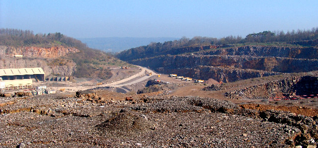
Stancombe Quarry
Stancombe Quarry is a quarry at Flax Bourton near Backwell in the North Somerset district of Somerset, England. The quarry which is operated by Tarmac...
Backwell School
Backwell School is a secondary academy school in Backwell, Bristol, Somerset, England. It was considered to be one of the best-performing state schools...

Ashton & Backwell United F.C.
Ashton & Backwell United Football Club is a football club based in Backwell, Somerset, England. Affiliated to the Somerset FA, they are currently members...
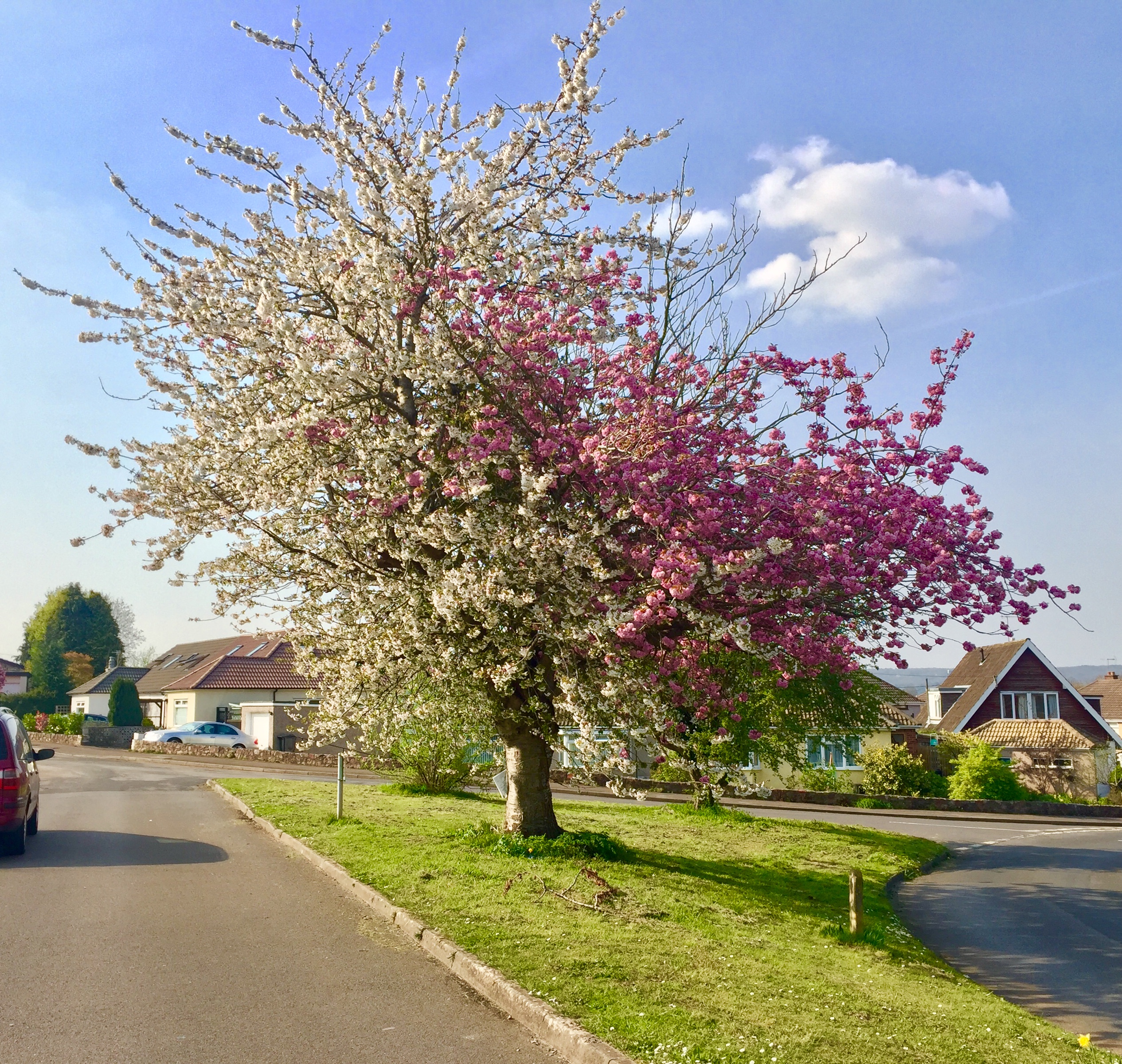
Strawberries and Cream Tree
The Strawberries and Cream Tree is a graft hybrid cherry tree (of Prunus avium and P. serrulata 'Kanzan') in Backwell, North Somerset, England. Planted...

Backwell House
Backwell House, in Backwell, Somerset, England is a house of historical significance and is listed on the English Heritage Register. The house and entrance...
Taps Combe Camp
Taps Combe Camp (also known as Chelvey Batch Settlement) is an Iron Age hill fort in North Somerset, England. The hill fort is situated approximately 1...
Nearby Amenities
Located within 500m of 51.409191,-2.728673Have you been to Backwell?
Leave your review of Backwell below (or comments, questions and feedback).