Baconsthorpe

Civil Parish in Norfolk North Norfolk

England

Baconsthorpe

Baconsthorpe Castle Outer Gatehouse <span class="nowrap"><a title="https://historicengland.org.uk/listing/the-list/list-entry/1013093?section=official-listing" rel="nofollow ugc noopener" href="https://historicengland.org.uk/listing/the-list/list-entry/1013093?section=official-listing">Link</a><img style="margin-left:2px;" alt="External link" title="External link - shift click to open in new window" src="https://s1.geograph.org.uk/img/external.png" width="10" height="10"/></span>
Baconsthorpe Castle Outer Gatehouse Credit: Sandy Gerrard

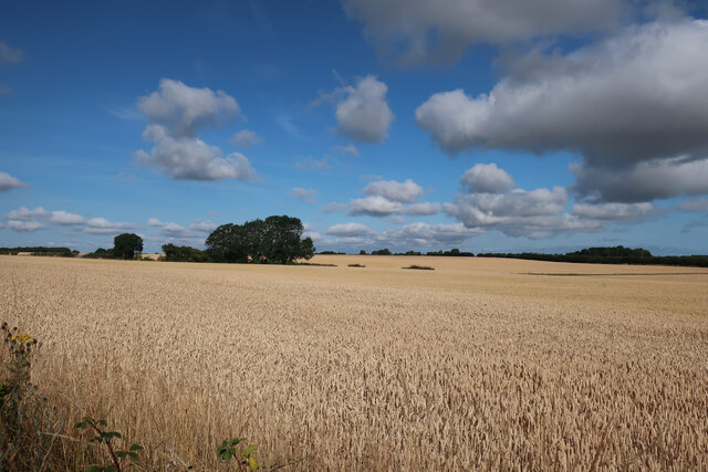
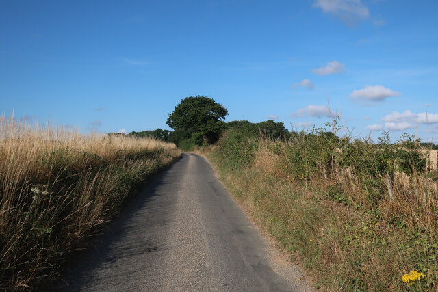
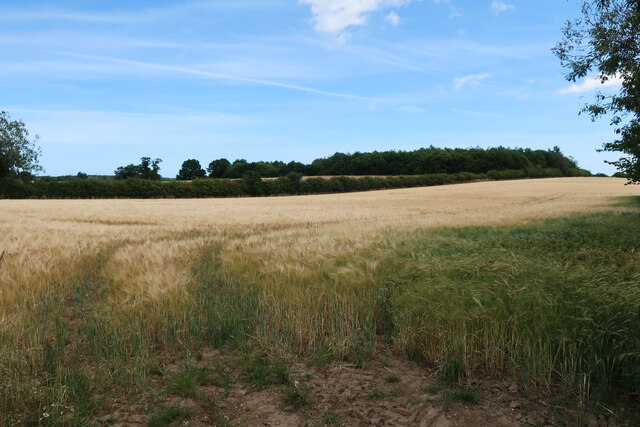
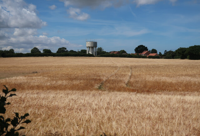
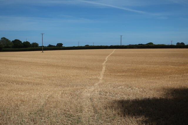
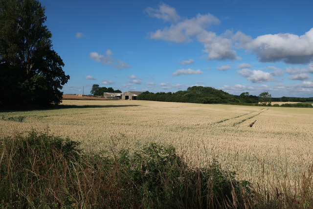
Baconsthorpe is a civil parish located in the county of Norfolk, England. It is situated approximately 4 miles south-east of the market town of Holt and covers an area of around 7.5 square kilometers. The parish is surrounded by beautiful countryside, characterized by rolling fields, meadows, and woodlands.

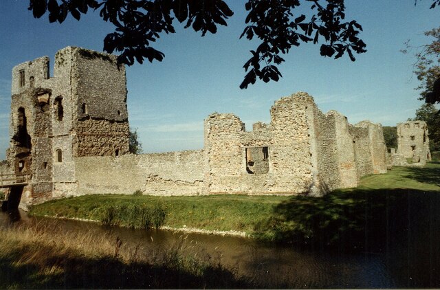
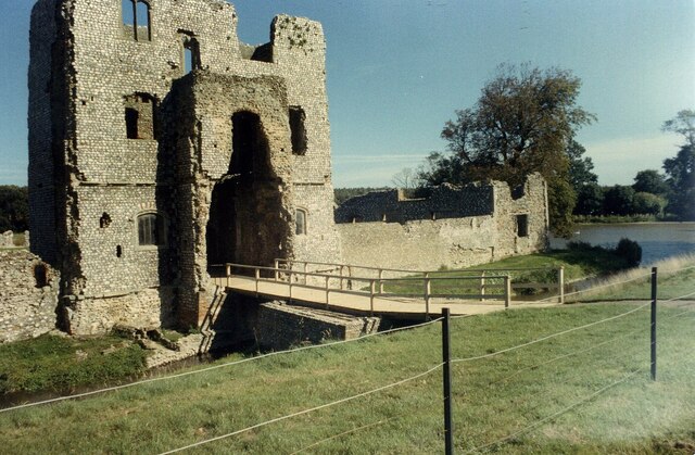
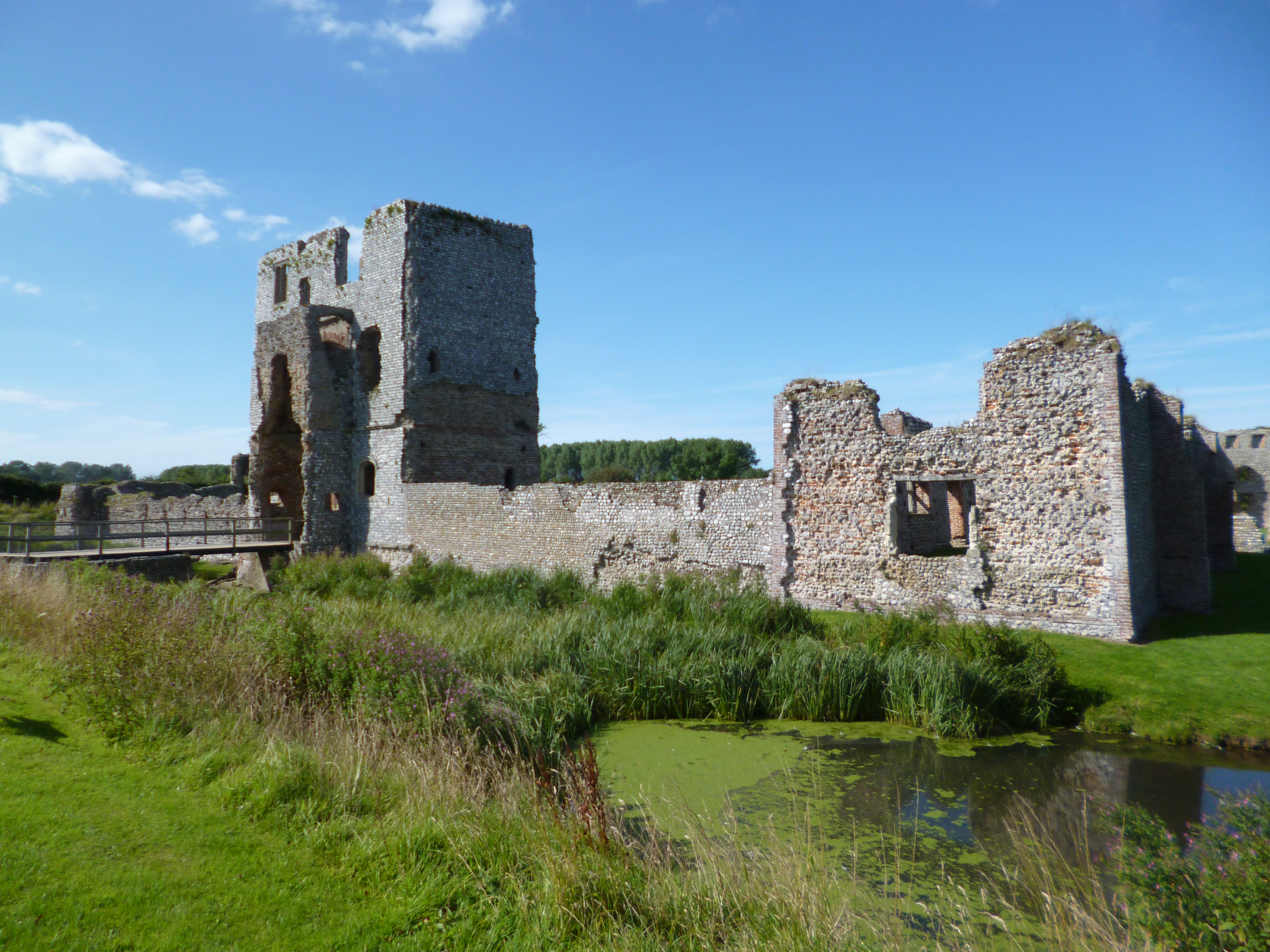
Baconsthorpe is best known for its historic ruins, Baconsthorpe Castle. The castle was originally built in the 15th century and is now a popular tourist attraction. It consists of a fortified manor house and a moat, with the remains of the once grand building providing a glimpse into its former glory. The site is managed by English Heritage and is open to the public throughout the year.

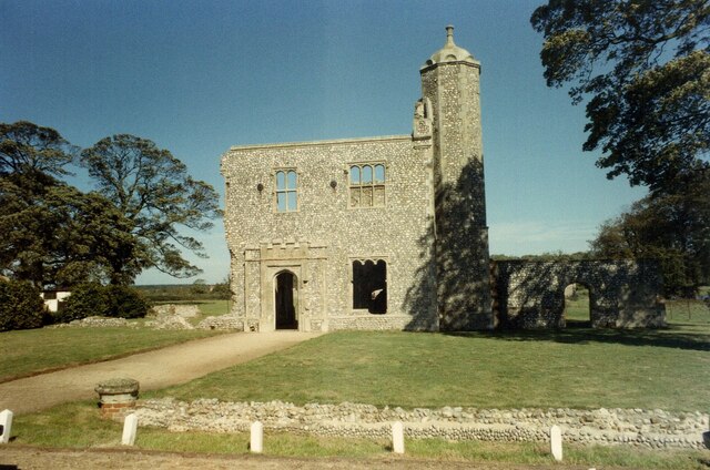
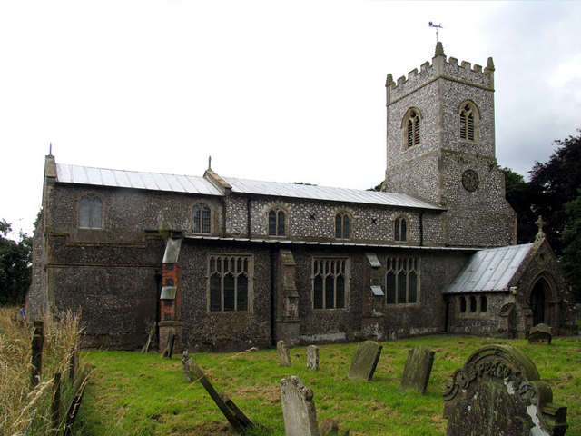
The village itself is small, with a population of around 200 residents. It has a close-knit community and a strong sense of local pride. The village church, St. Mary's, dates back to the 14th century and is a Grade II listed building. It is a focal point for the community and hosts regular services and events.

The surrounding area offers plenty of opportunities for outdoor activities, such as walking, cycling, and birdwatching. The nearby Holt Country Park is a popular spot for nature enthusiasts, with its diverse range of habitats and well-maintained trails.

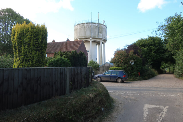
In terms of amenities, Baconsthorpe has limited facilities, with no shops or pubs within the village itself. However, the nearby town of Holt provides a range of services, including shops, supermarkets, and restaurants.

Overall, Baconsthorpe is a charming and picturesque village, known for its historic castle and rural beauty. It offers a peaceful and idyllic setting for residents and visitors alike.

If you have any feedback on the listing, please let us know in the comments section below.
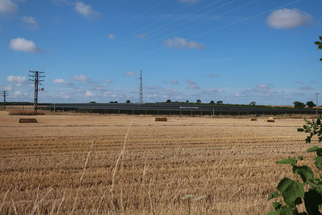
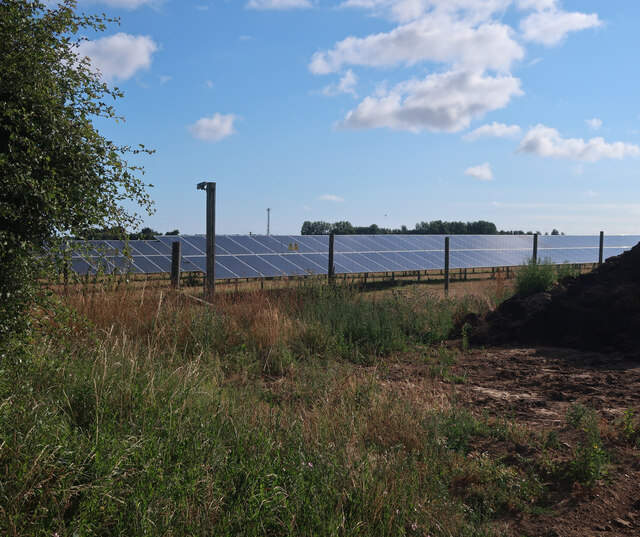
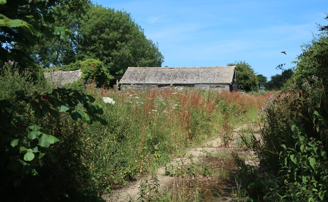
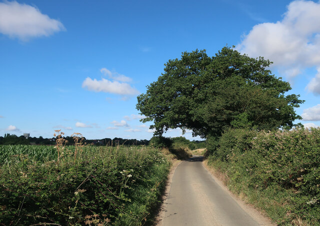
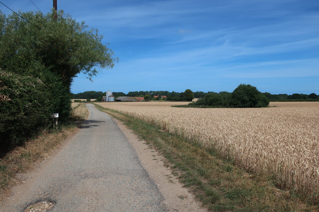
Baconsthorpe Images

Images are sourced within 2km of 52.889796/1.156331 or Grid Reference TG1237. Thanks to Geograph Open Source API. All images are credited.

Baconsthorpe Castle Outer Gatehouse <span class="nowrap"><a title="https://historicengland.org.uk/listing/the-list/list-entry/1013093?section=official-listing" rel="nofollow ugc noopener" href="https://historicengland.org.uk/listing/the-list/list-entry/1013093?section=official-listing">Link</a><img style="margin-left:2px;" alt="External link" title="External link - shift click to open in new window" src="https://s1.geograph.org.uk/img/external.png" width="10" height="10"/></span>
Baconsthorpe Castle Outer Gatehouse
Baconsthorpe Castle and Moat <span class="nowrap"><a title="https://historicengland.org.uk/listing/the-list/list-entry/1013093?section=official-listing" rel="nofollow ugc noopener" href="https://historicengland.org.uk/listing/the-list/list-entry/1013093?section=official-listing">Link</a><img style="margin-left:2px;" alt="External link" title="External link - shift click to open in new window" src="https://s1.geograph.org.uk/img/external.png" width="10" height="10"/></span>
Baconsthorpe Castle and Moat
Baconsthorpe Castle Inner Gatehouse and Moat <span class="nowrap"><a title="https://historicengland.org.uk/listing/the-list/list-entry/1013093?section=official-listing" rel="nofollow ugc noopener" href="https://historicengland.org.uk/listing/the-list/list-entry/1013093?section=official-listing">Link</a><img style="margin-left:2px;" alt="External link" title="External link - shift click to open in new window" src="https://s1.geograph.org.uk/img/external.png" width="10" height="10"/></span>
Baconsthorpe Castle Inner Gatehouse and Moat
Recently harvested field by Hole Farm Road
Field by School Lane
School Lane
School Lane
Footpath to Hempstead
Barley field by Cherry Tree Road
Plumstead Hall Farm
Plumstead Hall Farm
Water tower in Baconsthorpe
Barley field by Baconsthorpe Looking towards the water tower.
Barley field by Baconsthorpe
Looking towards the water tower.
Footpath through stubble field
Solar farm near Bodham Hill
Field by New Road
Field by New Road
Solar farm near Bodham Hill
Buildings by Rectory Road See <a href="https://www.geograph.org.uk/photo/3938108">TG1338 : RAF West Beckham radar station (C Site)</a> for more details.
Buildings by Rectory Road
Road to Baconsthorpe
Access track to Baconsthorpe Castle
Show me another place!

Baconsthorpe is located at Grid Ref: TG1237 (Lat: 52.889796, Lng: 1.156331)

Administrative County: Norfolk

District: North Norfolk

Police Authority: Norfolk

What 3 Words

///trousers.flamenco.doubts. Near Sheringham, Norfolk

Nearby Locations

Baconsthorpe Baconsthorpe

Related Wikis

Baconsthorpe

Baconsthorpe is a village and civil parish in the North Norfolk district of the English county of Norfolk. It is 4 miles (6.4 km) south-east of Holt, 5...

North Norfolk (UK Parliament constituency)

North Norfolk is a constituency represented in the House of Commons of the UK Parliament since 2019 by Duncan Baker, a Conservative. == Constituency... ==

Baconsthorpe Castle

Baconsthorpe Castle, historically known as Baconsthorpe Hall, is a ruined, fortified manor house near the village of Baconsthorpe, Norfolk, England. It...

Hempstead, near Holt, Norfolk

There is also a village called Hempstead near Stalham, also in North Norfolk.Hempstead is a village and civil parish in the north of the English county...

Nearby Amenities

Located within 500m of 52.889796,1.156331
Baconsthorpe
Created By: Potlatch 0.10f
Is In: Norfolk,UK
Place: village
Source: npe
Lat/Long: 52.8898444/1.1579473
Bus Stop
post office, adj
Naptan AtcoCode: 2900B011
Naptan Bearing: W
Naptan BusStopType: CUS
Naptan CommonName: post office
Naptan Indicator: adj
Naptan Landmark: Jolly Lane
Naptan Locality: Baconsthorpe
Naptan NaptanCode: nfoadmpa
Naptan ShortCommonName: post office
Naptan Street: The Street
Naptan Verified: no
Source: naptan_import
Lat/Long: 52.8896828/1.1534291
Bus Stop
post office, opp
Naptan AtcoCode: 2900B012
Naptan Bearing: E
Naptan BusStopType: CUS
Naptan CommonName: post office
Naptan Indicator: opp
Naptan Landmark: Jolly Lane
Naptan Locality: Baconsthorpe
Naptan NaptanCode: nfoadmpd
Naptan ShortCommonName: post office
Naptan Street: The Street
Naptan Verified: no
Source: naptan_import
Lat/Long: 52.8898077/1.1534679
Post Office
Lat/Long: 52.8895956/1.1535893
Bench
Backrest: yes
Lat/Long: 52.8896927/1.1532505
Chestnut Farm
Capacity: 5
Phone: +44 1263577459
Tourism: caravan_site
Lat/Long: 52.8907472/1.1590434
Entrance: main
Lat/Long: 52.8872457/1.1605798
Give Way
Lat/Long: 52.8879563/1.153018
Give Way
Lat/Long: 52.8876862/1.1599623
Give Way
Lat/Long: 52.887688/1.1598594
Give Way
Lat/Long: 52.8882513/1.1493353
Give Way
Lat/Long: 52.8882639/1.1495043
Give Way
Lat/Long: 52.888314/1.14946
Power: pole
Lat/Long: 52.8882412/1.1632392
Power: pole
Lat/Long: 52.8883828/1.1621761
Power: pole
Lat/Long: 52.8883797/1.1611178
Power: pole
Lat/Long: 52.8883869/1.1599391
Power: pole
Lat/Long: 52.8883901/1.1584999
Power: pole
Lat/Long: 52.8883982/1.1571226
Power: pole
Lat/Long: 52.8884071/1.1557276
Power: pole
Lat/Long: 52.8884126/1.1543964
Power: pole
Lat/Long: 52.8884094/1.1531429
Power: pole
Lat/Long: 52.8884187/1.1518723
Power: pole
Lat/Long: 52.8884322/1.1505182
Power: pole
Lat/Long: 52.8884378/1.1493628
Communication Mobile Phone: yes
Layer: 1
Man Made: mast
Material: metal
Operator: O2-UK;Vodafone UK
Tower Construction: guyed_tube
Tower Type: communication
Lat/Long: 52.8874803/1.1533979
The data included in this document is from www.openstreetmap.org. The data is made available under ODbL.

Have you been to Baconsthorpe?

Leave your review of Baconsthorpe below (or comments, questions and feedback).