Bacton

Civil Parish in Herefordshire

England

Bacton

Mill Lane at Tremorithic Road The warning sign is for the ford across the Dulas Brook.
Mill Lane at Tremorithic Road Credit: Jonathan Billinger

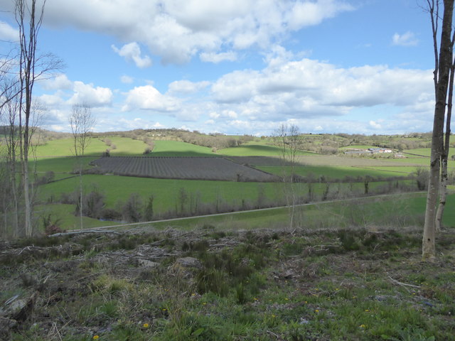
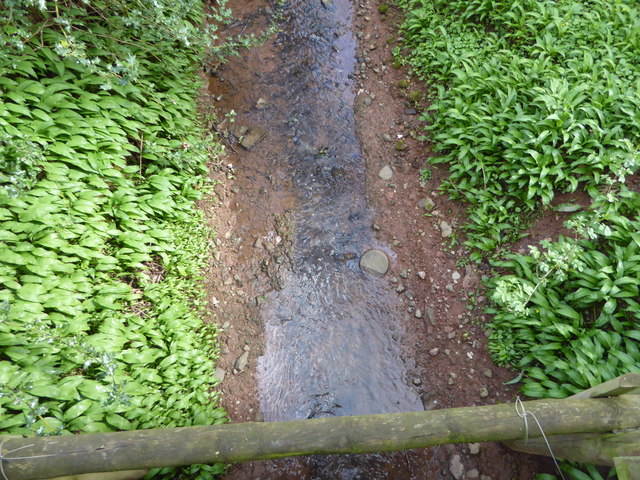
Bacton is a civil parish located in the county of Herefordshire, England. Situated in the West Midlands region, it is nestled in the picturesque countryside, surrounded by rolling hills and meandering rivers. The parish covers an area of approximately 20 square kilometers and is home to a relatively small population.

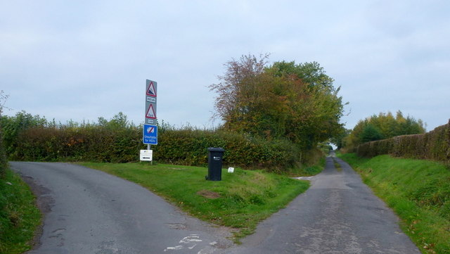
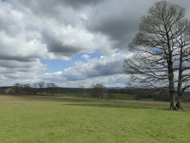
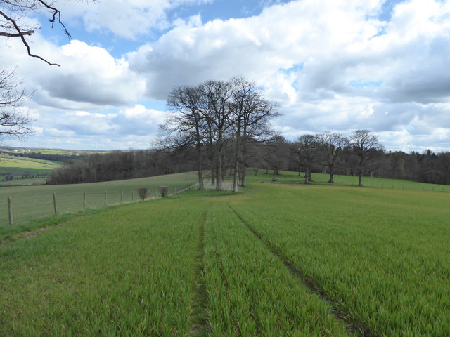
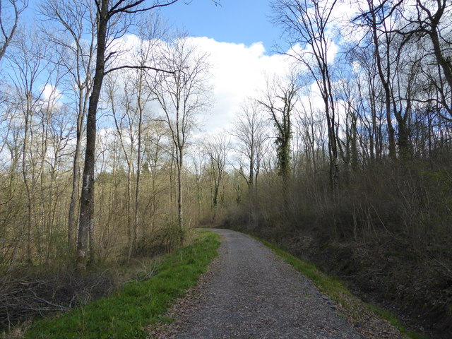
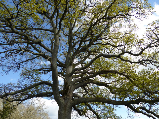
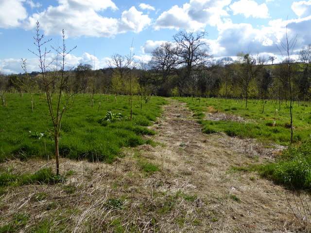
Bacton is characterized by its charming rural landscape, with scattered farms and quaint cottages dotting the countryside. The parish is known for its agricultural heritage, with farming being a significant economic activity. The fertile soil supports the growth of various crops, including cereals, vegetables, and fruits.

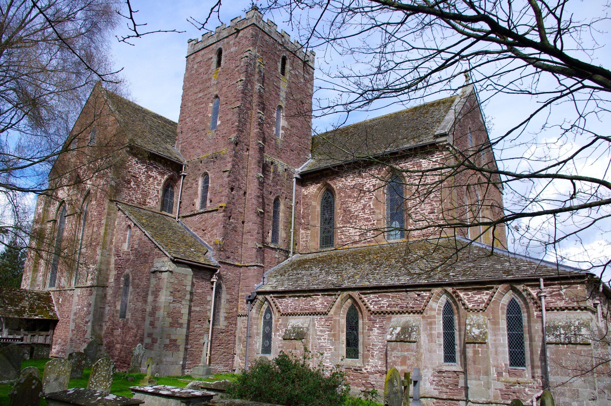
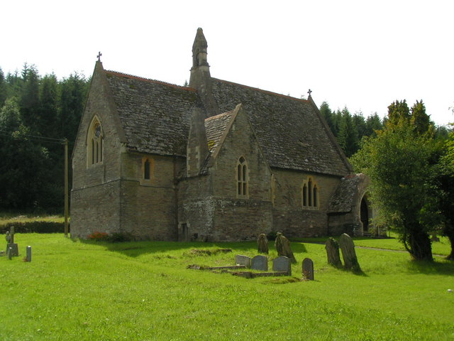
The parish also boasts a rich history, with evidence of human habitation dating back to ancient times. The medieval era left its mark on Bacton, with the parish church of St. Faith's being a prominent historical landmark. This beautiful church, constructed in the 13th century, showcases stunning architectural features and serves as a reminder of the area's religious heritage.

Despite its small size, Bacton offers a range of amenities and services to its residents. These include a village hall, a primary school, a post office, and a community center. The parish is well-connected to surrounding towns and cities, with good transport links enabling easy access to essential facilities and services.

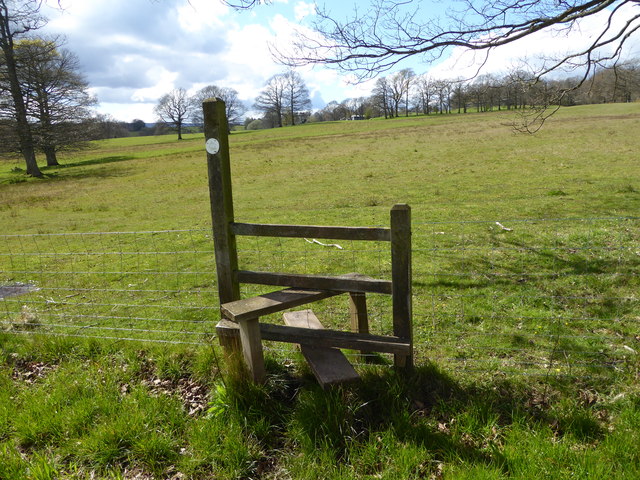
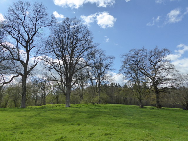
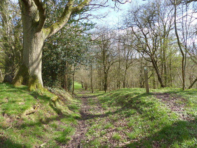
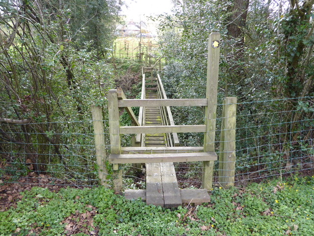
With its tranquil countryside setting and strong sense of community, Bacton provides a peaceful and idyllic environment for residents and visitors alike. The parish offers ample opportunities for outdoor pursuits, such as hiking, cycling, and fishing, making it an appealing destination for nature enthusiasts and those seeking a slower pace of life.

If you have any feedback on the listing, please let us know in the comments section below.
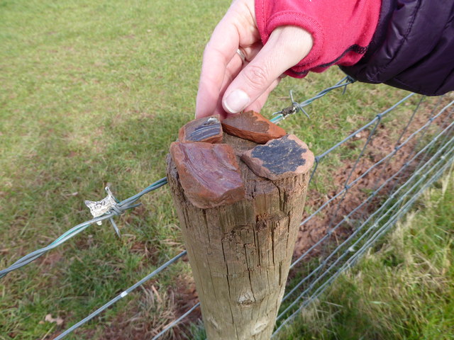
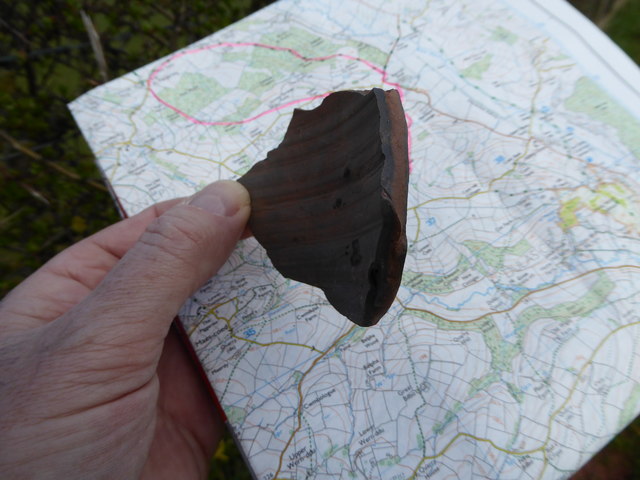
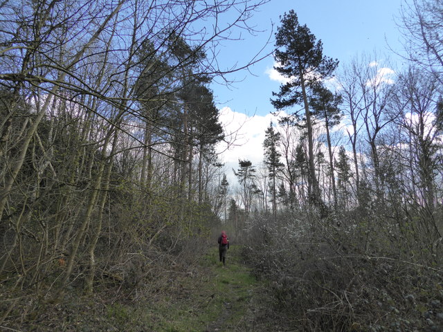
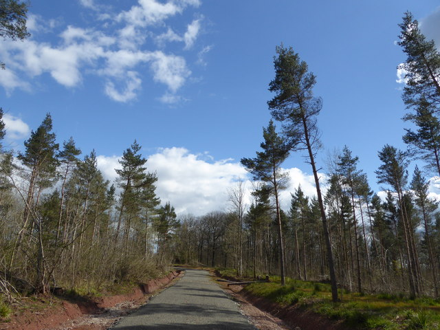
Bacton Images

Images are sourced within 2km of 51.987872/-2.908995 or Grid Reference SO3732. Thanks to Geograph Open Source API. All images are credited.

Mill Lane at Tremorithic Road The warning sign is for the ford across the Dulas Brook.
Mill Lane at Tremorithic Road
The warning sign is for the ford across the Dulas Brook.
Part of the Herefordshire Trail near St. Margarets Link to a Wikipedia article on this lovely long distance walk here <span class="nowrap"><a title="https://en.wikipedia.org/wiki/Herefordshire_Trail" rel="nofollow ugc noopener" href="https://en.wikipedia.org/wiki/Herefordshire_Trail">Link</a><img style="margin-left:2px;" alt="External link" title="External link - shift click to open in new window" src="https://s1.geograph.org.uk/img/external.png" width="10" height="10"/></span>
Part of the Herefordshire Trail near St. Margarets
Link to a Wikipedia article on this lovely long distance walk here LinkExternal link
Stile on the Herefordshire Trail Looking back towards Park Farm and St. Margarets.
Stile on the Herefordshire Trail
Looking back towards Park Farm and St. Margarets.
Field edge walking on the Herefordshire Trail Lots of pottery sherds to be found in the ploughsoil here.
Field edge walking on the Herefordshire Trail
Lots of pottery sherds to be found in the ploughsoil here.
Pottery sherds found on the ploughsoil surface Medieval pottery I think. These are sherds my walking partner found in maybe two minutes, or less, strolling down the ploughsoil, that she spotted, having no field-walking training or experience. There's obviously more there than we saw. 

This little assemblage seems to be from at least 4 separate vessels. I'm no expert but it looks medieval to me. That is not prehistoric, not more recent such as Victorian.
Pottery sherds found on the ploughsoil surface
Medieval pottery I think. These are sherds my walking partner found in maybe two minutes, or less, strolling down the ploughsoil, that she spotted, having no field-walking training or experience. There's obviously more there than we saw. This little assemblage seems to be from at least 4 separate vessels. I'm no expert but it looks medieval to me. That is not prehistoric, not more recent such as Victorian.
Pottery sherd found on the ploughsoil surface Nice piece.
Pottery sherd found on the ploughsoil surface
Nice piece.
On the Herefordshire Trail in Llan Arw Woods I like to see Welsh place names in English Herefordshire.
On the Herefordshire Trail in Llan Arw Woods
I like to see Welsh place names in English Herefordshire.
Logging track in forestry Not the best walking as you can't see much.
Logging track in forestry
Not the best walking as you can't see much.
Track in the wood Nicer woodland here.
Track in the wood
Nicer woodland here.
View from Llan Arw woods over the Dore valley Lovely countryside.
View from Llan Arw woods over the Dore valley
Lovely countryside.
On the Herefordshire Trail in spring Who would want to be anywhere else?
On the Herefordshire Trail in spring
Who would want to be anywhere else?
On the Herefordshire Trail in spring Nice old field access track here.
On the Herefordshire Trail in spring
Nice old field access track here.
Oak tree in springtime beside the Herefordshire Trail Always great to see such a massive tree come to life again.
Oak tree in springtime beside the Herefordshire Trail
Always great to see such a massive tree come to life again.
On the Herefordshire Trail in spring Walking through a young orchard here I think.
On the Herefordshire Trail in spring
Walking through a young orchard here I think.
Wooden footbridge on the Herefordshire Trail This one is old school. More like a Trainasium or Tarzan Course!
Wooden footbridge on the Herefordshire Trail
This one is old school. More like a Trainasium or Tarzan Course!
Stream from the wooden footbridge What is that in the water there?
Stream from the wooden footbridge
What is that in the water there?
Stone disc in the stream I can read West Bromwich 4 quarts - what could this be?
Stone disc in the stream
I can read West Bromwich 4 quarts - what could this be?
On the Herefordshire Trail Passing one of those modernised or converted rural properties that brandish a little too much signage, warning of 'Private Property' etc. Here we get 'No Admittance',  coupled to 'Please keep to the Right of Way, Thank you' and thirdly, 'Please keep your dog on a lead, Thank you'.

It always makes me think that if you move to the country and purchase a home on a public path or waymarked walk you should either purchase elsewhere or expect walkers to respect such givens, with no need to warn. 

It is I feel a sort of suburban paranoia that inspires landowners to issue orders to the orderly. 

And ironically here the homeowner's own dog was off a lead, yapped all the while as we passed and then came out after we had left the precincts to issue barks until we were out of sight. As paranoid, insecure and territorial as his owner maybe?
On the Herefordshire Trail
Passing one of those modernised or converted rural properties that brandish a little too much signage, warning of 'Private Property' etc. Here we get 'No Admittance', coupled to 'Please keep to the Right of Way, Thank you' and thirdly, 'Please keep your dog on a lead, Thank you'. It always makes me think that if you move to the country and purchase a home on a public path or waymarked walk you should either purchase elsewhere or expect walkers to respect such givens, with no need to warn. It is I feel a sort of suburban paranoia that inspires landowners to issue orders to the orderly. And ironically here the homeowner's own dog was off a lead, yapped all the while as we passed and then came out after we had left the precincts to issue barks until we were out of sight. As paranoid, insecure and territorial as his owner maybe?
Show me another place!

Bacton is located at Grid Ref: SO3732 (Lat: 51.987872, Lng: -2.908995)

Unitary Authority: County of Herefordshire

Police Authority: West Mercia

What 3 Words

///condiment.quoted.custard. Near Bacton, Herefordshire

Related Wikis

Bacton railway station

Bacton railway station was a station in Bacton, Herefordshire, England. It was located on the Great Western Railway branch line linking Pontrilas and Hay...

Bacton, Herefordshire

Bacton (Welsh: Bactwn) is a small village in a rural area of south-west Herefordshire, England, 14 miles (23 km) from Hereford. == History == One mile...

Abbeydore railway station

Abbeydore railway station was a station in Abbey Dore, Herefordshire, England. It was located on the Great Western Railway branch line linking Pontrilas...

Abbey Dore Court

Abbey Dore Court is a country house in Abbey Dore, Herefordshire, England. It was built in the Golden Valley in 1861 for Thomas Freke Lewis. It includes...

Abbey Dore

Abbey Dore is a village and civil parish in Herefordshire, England, known for Dore Abbey, a 12th-century Cistercian abbey, which was expanded in the 13th...

Dore Abbey

Dore Abbey is a former Cistercian abbey in the village of Abbey Dore in the Golden Valley, Herefordshire, England. A large part of the original medieval...

St Margarets, Herefordshire

St Margarets is a village and civil parish 11 miles (18 km) west of Hereford, in the county of Herefordshire, England. The parish includes the hamlet of...

Dulas, Herefordshire

Dulas is a civil parish in the County of Herefordshire in England, 18 km south west of Hereford. There is no village named Dulas, as the parish consists...

Nearby Amenities

Located within 500m of 51.987872,-2.908995
Moorhampton
Historic Railway: station
Railway: site
Source: NPE
Lat/Long: 51.9879092/-2.9020165
Building: yes
Lat/Long: 51.9879536/-2.9131148
Barrier: cattle_grid
Source: survey
Lat/Long: 51.9856788/-2.9080926
Barrier: stile
Lat/Long: 51.990298/-2.9124445
Barrier: stile
Source: survey
Lat/Long: 51.9857259/-2.908102
Power: pole
Lat/Long: 51.9910115/-2.9045159
Power: pole
Lat/Long: 51.9896225/-2.9031962
Power: pole
Lat/Long: 51.988273/-2.9019168
The data included in this document is from www.openstreetmap.org. The data is made available under ODbL.

Have you been to Bacton?

Leave your review of Bacton below (or comments, questions and feedback).