Bacton

Settlement in Herefordshire

England

Bacton

Footpath west from Tremorithic Road Ash is turning colour early this year.
Footpath west from Tremorithic Road Credit: Jonathan Billinger

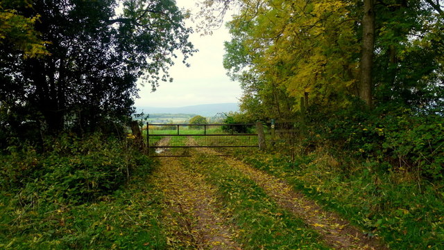
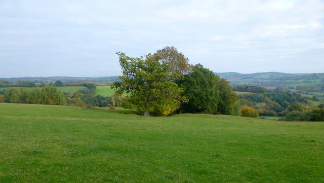
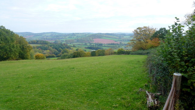
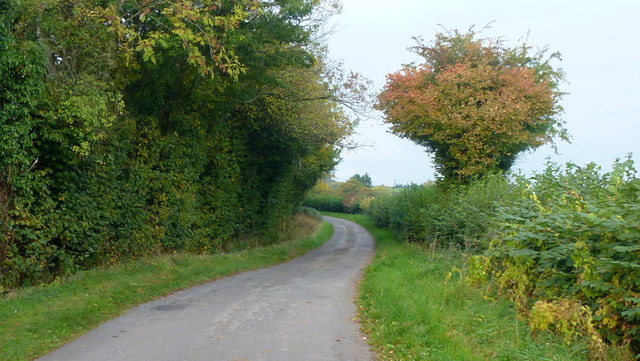
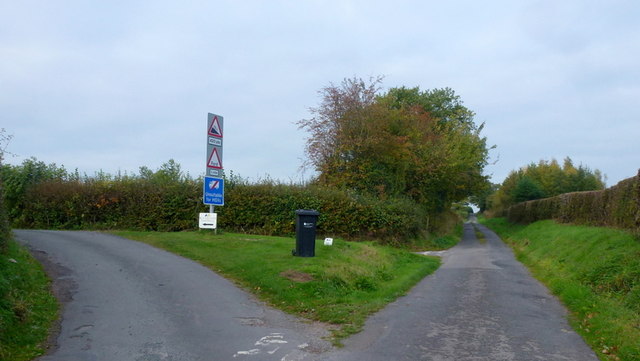
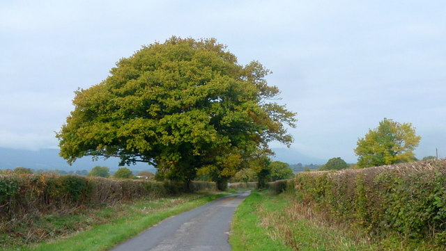
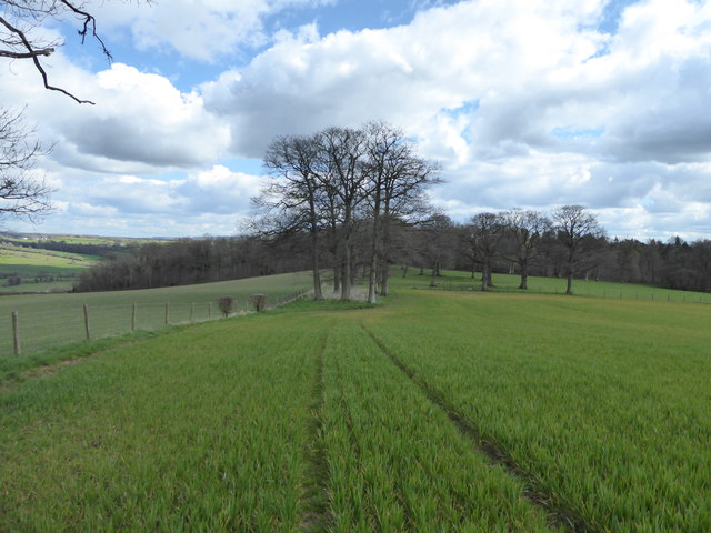
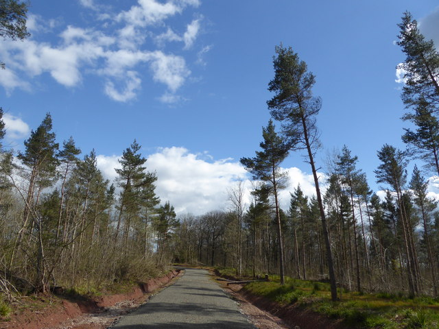
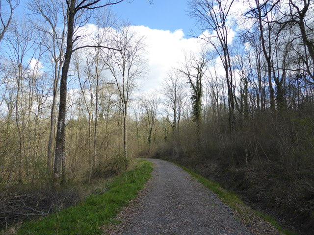
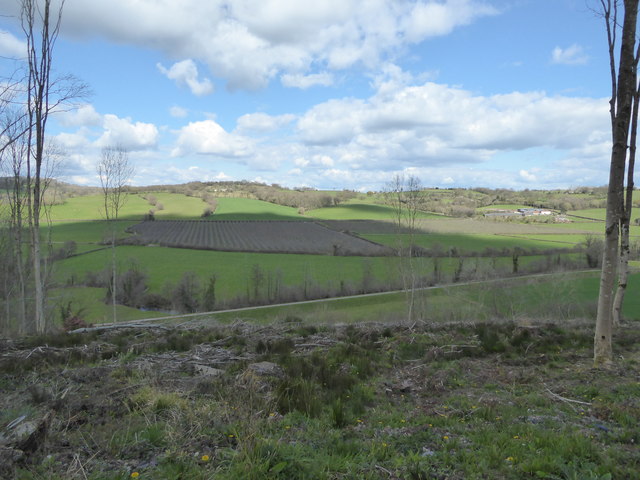
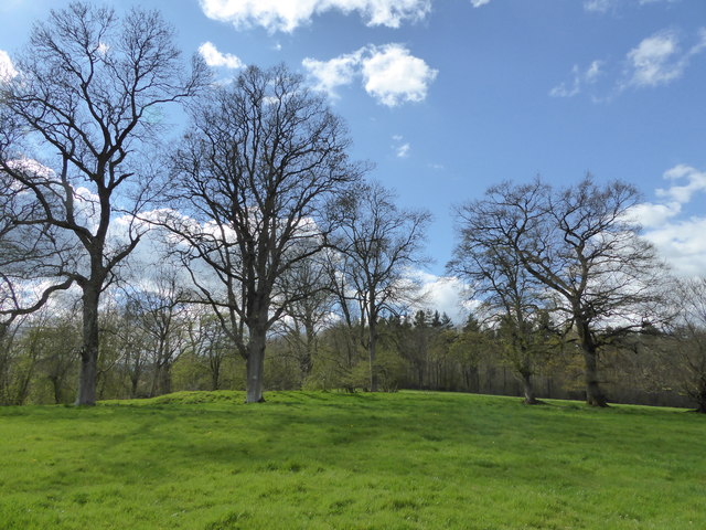
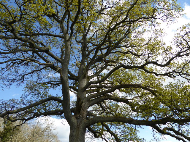
Bacton is a small village located in the county of Herefordshire, England. It is situated approximately 8 miles southwest of the city of Hereford and lies within the civil parish of Bacton and Old Radnor. The village is nestled in the picturesque countryside, surrounded by rolling hills and lush green fields, providing residents and visitors with breathtaking views.

The history of Bacton dates back to ancient times, and evidence of human settlement in the area can be traced back to the Neolithic period. The village itself is a charming mix of traditional stone cottages and more modern houses, giving it a unique character.

Despite its small size, Bacton boasts a vibrant community with a range of amenities. These include a local pub, village hall, and a primary school, providing essential services and fostering a sense of community spirit. The village also benefits from excellent transport links, with regular bus services connecting it to neighboring towns and villages.

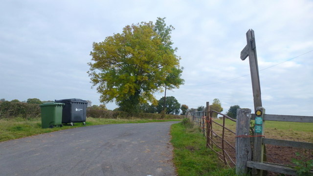
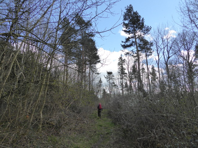
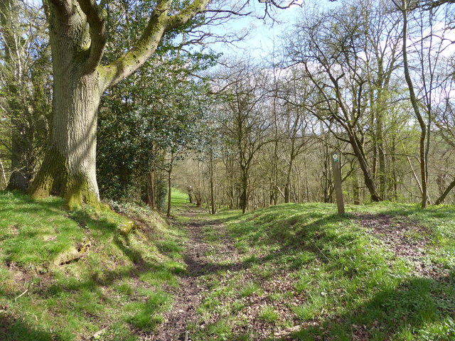
Surrounded by natural beauty, Bacton offers plenty of opportunities for outdoor activities. The nearby countryside is ideal for hiking, cycling, and horse riding, allowing residents and visitors to explore the stunning landscape. Additionally, the village is located in close proximity to the River Wye, providing access to water sports and fishing.

Overall, Bacton is a tranquil and idyllic village, offering residents a peaceful rural lifestyle while still being conveniently located near larger towns and cities. Its rich history, natural beauty, and strong community spirit make it a desirable place to live or visit in Herefordshire.

If you have any feedback on the listing, please let us know in the comments section below.

Bacton Images

Images are sourced within 2km of 51.984646/-2.9088533 or Grid Reference SO3732. Thanks to Geograph Open Source API. All images are credited.

Footpath west from Tremorithic Road Ash is turning colour early this year.
Footpath west from Tremorithic Road
Ash is turning colour early this year.
View over the Golden Valley, 1 Looking north from the Tremorithic Road to the west of Abbey Dore.
View over the Golden Valley, 1
Looking north from the Tremorithic Road to the west of Abbey Dore.
View over the Golden Valley, 2 Looking north from the Tremorithic Road to the west of Abbey Dore.
View over the Golden Valley, 2
Looking north from the Tremorithic Road to the west of Abbey Dore.
Tremorithic Road Looking west, away from Abbey Dore.
Tremorithic Road
Looking west, away from Abbey Dore.
Mill Lane at Tremorithic Road The warning sign is for the ford across the Dulas Brook.
Mill Lane at Tremorithic Road
The warning sign is for the ford across the Dulas Brook.
Oaks by Tremorithic Road Still green as at 17th October 2015.
Oaks by Tremorithic Road
Still green as at 17th October 2015.
Farm track and public footpath To Holling Grange Farm pictured from Tremorithic Road.
Farm track and public footpath
To Holling Grange Farm pictured from Tremorithic Road.
Ash foliage by the footpath signpost This sight is destined to be a rarity as Ash dieback disease spreads across the UK.
Ash foliage by the footpath signpost
This sight is destined to be a rarity as Ash dieback disease spreads across the UK.
Field edge walking on the Herefordshire Trail Lots of pottery sherds to be found in the ploughsoil here.
Field edge walking on the Herefordshire Trail
Lots of pottery sherds to be found in the ploughsoil here.
Pottery sherds found on the ploughsoil surface Medieval pottery I think. These are sherds my walking partner found in maybe two minutes, or less, strolling down the ploughsoil, that she spotted, having no field-walking training or experience. There's obviously more there than we saw. 

This little assemblage seems to be from at least 4 separate vessels. I'm no expert but it looks medieval to me. That is not prehistoric, not more recent such as Victorian.
Pottery sherds found on the ploughsoil surface
Medieval pottery I think. These are sherds my walking partner found in maybe two minutes, or less, strolling down the ploughsoil, that she spotted, having no field-walking training or experience. There's obviously more there than we saw. This little assemblage seems to be from at least 4 separate vessels. I'm no expert but it looks medieval to me. That is not prehistoric, not more recent such as Victorian.
Pottery sherd found on the ploughsoil surface Nice piece.
Pottery sherd found on the ploughsoil surface
Nice piece.
On the Herefordshire Trail in Llan Arw Woods I like to see Welsh place names in English Herefordshire.
On the Herefordshire Trail in Llan Arw Woods
I like to see Welsh place names in English Herefordshire.
Logging track in forestry Not the best walking as you can't see much.
Logging track in forestry
Not the best walking as you can't see much.
Track in the wood Nicer woodland here.
Track in the wood
Nicer woodland here.
View from Llan Arw woods over the Dore valley Lovely countryside.
View from Llan Arw woods over the Dore valley
Lovely countryside.
On the Herefordshire Trail in spring Who would want to be anywhere else?
On the Herefordshire Trail in spring
Who would want to be anywhere else?
On the Herefordshire Trail in spring Nice old field access track here.
On the Herefordshire Trail in spring
Nice old field access track here.
Oak tree in springtime beside the Herefordshire Trail Always great to see such a massive tree come to life again.
Oak tree in springtime beside the Herefordshire Trail
Always great to see such a massive tree come to life again.
Show me another place!

Bacton is located at Grid Ref: SO3732 (Lat: 51.984646, Lng: -2.9088533)

Unitary Authority: County of Herefordshire

Police Authority: West Mercia

What 3 Words

///vampire.double.necklaces. Near Bacton, Herefordshire

Related Wikis

Bacton railway station

Bacton railway station was a station in Bacton, Herefordshire, England. It was located on the Great Western Railway branch line linking Pontrilas and Hay...

Bacton, Herefordshire

Bacton (Welsh: Bactwn) is a small village in a rural area of south-west Herefordshire, England, 14 miles (23 km) from Hereford. == History == One mile...

Abbeydore railway station

Abbeydore railway station was a station in Abbey Dore, Herefordshire, England. It was located on the Great Western Railway branch line linking Pontrilas...

Abbey Dore Court

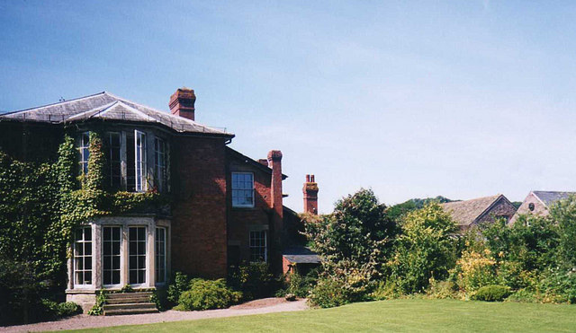
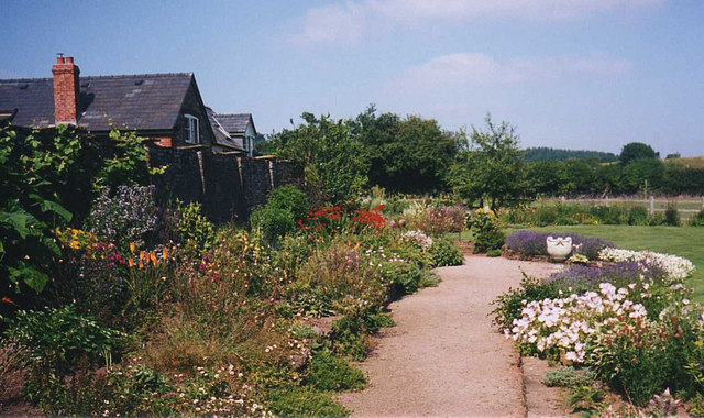
Abbey Dore Court is a country house in Abbey Dore, Herefordshire, England. It was built in the Golden Valley in 1861 for Thomas Freke Lewis. It includes...
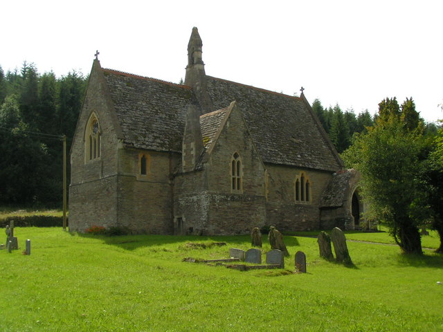
Abbey Dore

Abbey Dore is a village and civil parish in Herefordshire, England, known for Dore Abbey, a 12th-century Cistercian abbey, which was expanded in the 13th...
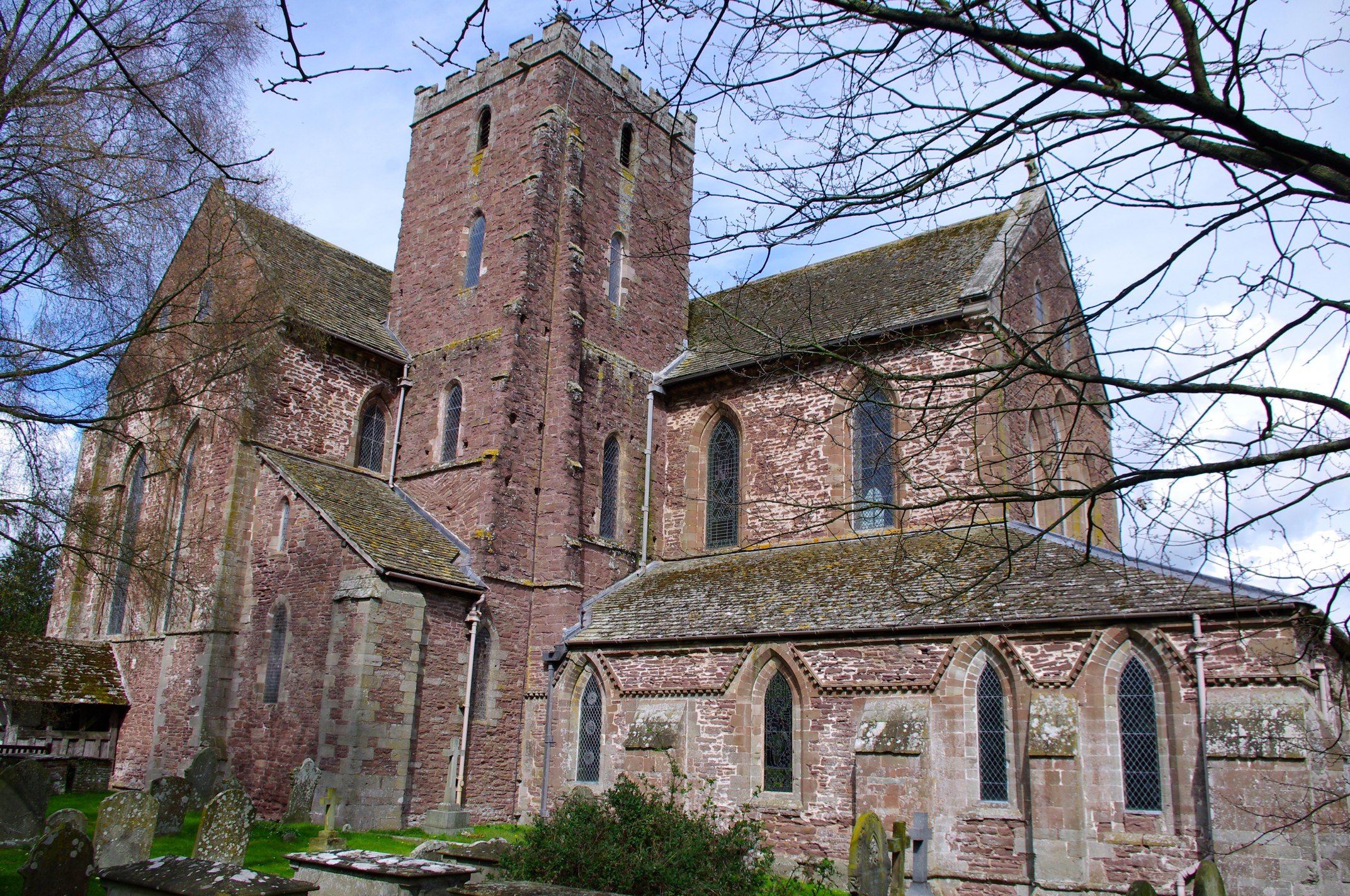
Dore Abbey

Dore Abbey is a former Cistercian abbey in the village of Abbey Dore in the Golden Valley, Herefordshire, England. A large part of the original medieval...

Dulas, Herefordshire

Dulas is a civil parish in the County of Herefordshire in England, 18 km south west of Hereford. There is no village named Dulas, as the parish consists...

St Margarets, Herefordshire

St Margarets is a village and civil parish 11 miles (18 km) west of Hereford, in the county of Herefordshire, England. The parish includes the hamlet of...

Nearby Amenities

Located within 500m of 51.984646,-2.9088533
Building: yes
Lat/Long: 51.9879536/-2.9131148
Barrier: stile
Material: wood
Stile: stepover
Lat/Long: 51.9826938/-2.9081757
Barrier: stile
Material: wood
Stile: stepover
Lat/Long: 51.9826203/-2.9082803
Barrier: stile
Material: wood
Stile: stepover
Lat/Long: 51.9814077/-2.9097247
Barrier: stile
Material: wood
Stile: stepover
Lat/Long: 51.9808452/-2.9100278
Barrier: stile
Material: wood
Stile: stepover
Lat/Long: 51.9807469/-2.9107708
Barrier: stile
Material: wood
Source: survey
Stile: stepover
Lat/Long: 51.9815208/-2.9125246
Barrier: cattle_grid
Source: survey
Lat/Long: 51.9856788/-2.9080926
Power: transformer
Source: survey
Lat/Long: 51.9802381/-2.9096764
Barrier: stile
Source: survey
Lat/Long: 51.980381/-2.9099125
Note: waymarker here
Lat/Long: 51.9818257/-2.9130319
Barrier: stile
Source: survey
Lat/Long: 51.9857259/-2.908102
The data included in this document is from www.openstreetmap.org. The data is made available under ODbL.

Have you been to Bacton?

Leave your review of Bacton below (or comments, questions and feedback).