Hag Cleuch

Valley in Roxburghshire

Scotland

Hag Cleuch

Forestry road near Newcastleton
Forestry road near Newcastleton Credit: Steven Brown

Hag Cleuch is a picturesque valley located in the beautiful region of Roxburghshire, in the Scottish Borders. Situated within the Southern Uplands, this stunning valley offers a tranquil and idyllic setting for nature lovers and outdoor enthusiasts alike.

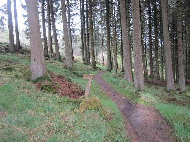
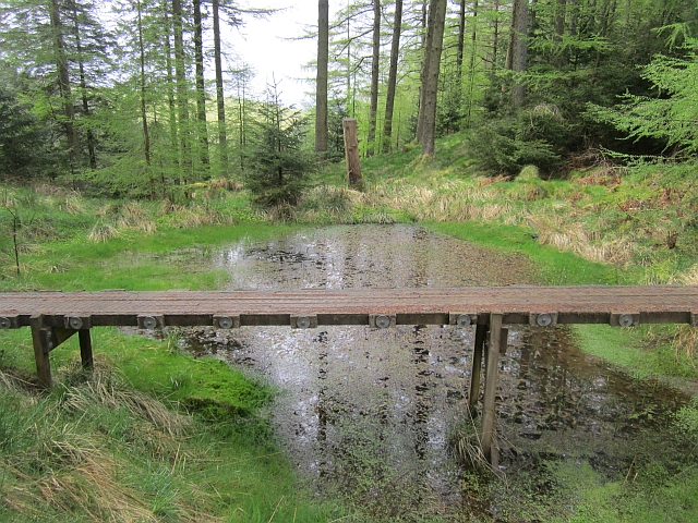
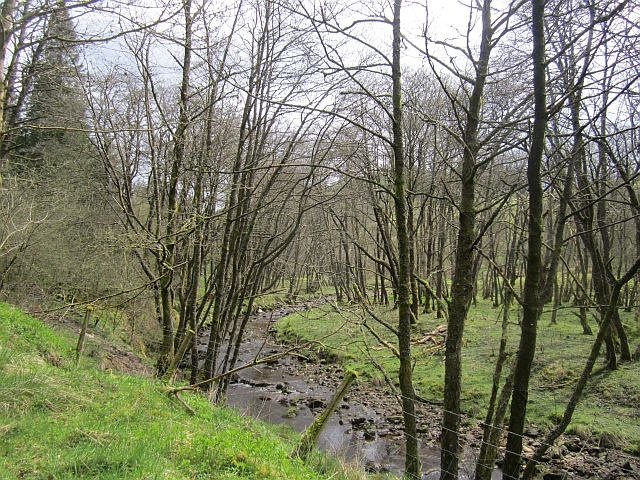
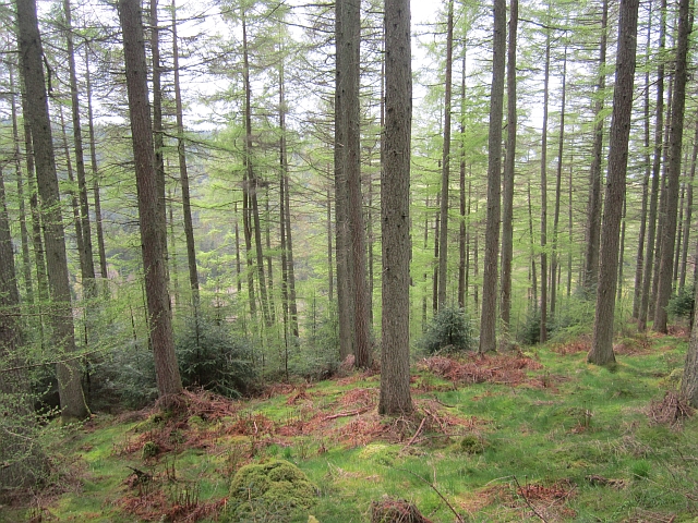
Surrounded by rolling hills and lush greenery, Hag Cleuch is renowned for its breathtaking natural beauty. The valley is characterized by its steep slopes, carved out by the Hag Burn, a small stream that meanders through the landscape. The babbling sound of the water adds to the peaceful ambiance of the area.

The valley is home to a diverse range of flora and fauna, including a variety of wildflowers, mosses, and ferns. Birdwatchers will be delighted by the presence of various species, including golden eagles, peregrine falcons, and red grouse.

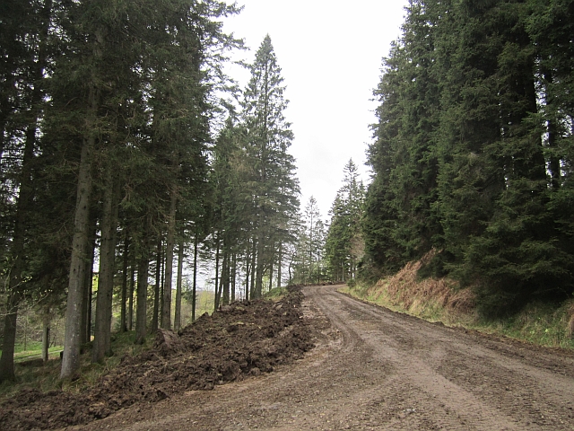
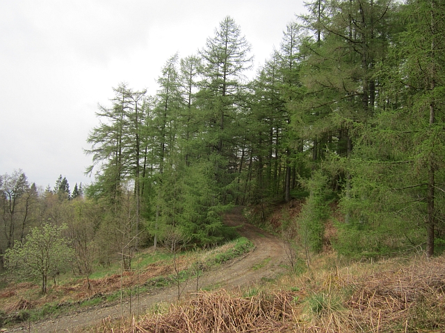
Hag Cleuch offers a range of outdoor activities for visitors to enjoy. Hiking and walking trails crisscross the valley, allowing visitors to explore its hidden gems and enjoy panoramic views of the surrounding countryside. The more adventurous can partake in rock climbing, with the valley's steep cliffs providing an exciting challenge for climbers.

For those seeking a peaceful retreat, Hag Cleuch offers several picnic spots where visitors can relax and soak in the serenity of nature. The valley is also a popular spot for photographers, with its dramatic landscapes providing ample opportunities for capturing stunning images.

In conclusion, Hag Cleuch is a true gem in Roxburghshire, offering a haven of natural beauty and tranquility. Whether exploring the hiking trails, observing the diverse wildlife, or simply enjoying a picnic, visitors to this stunning valley are sure to be enchanted by its undeniable charm.

If you have any feedback on the listing, please let us know in the comments section below.
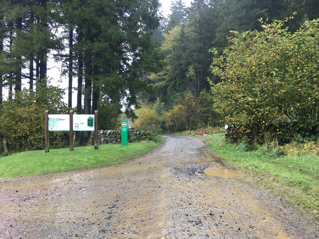
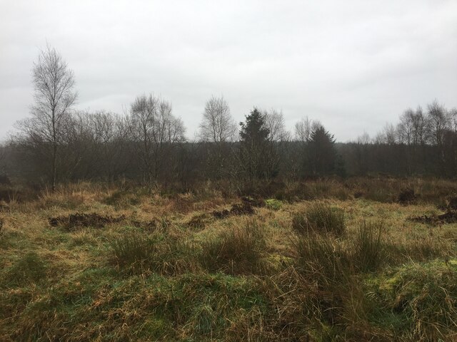
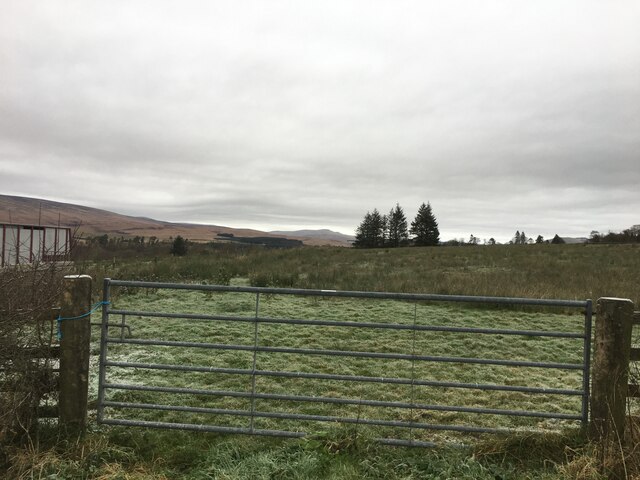
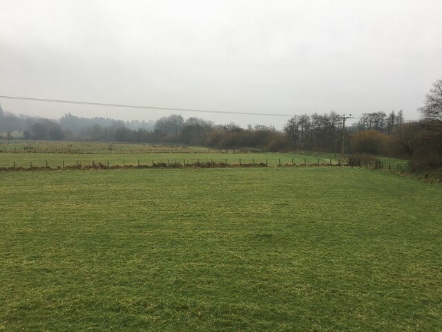
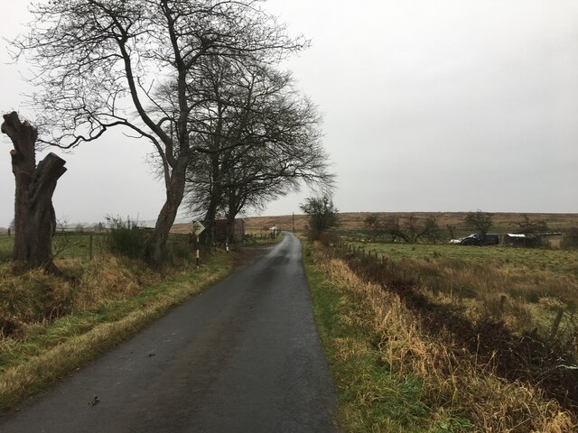
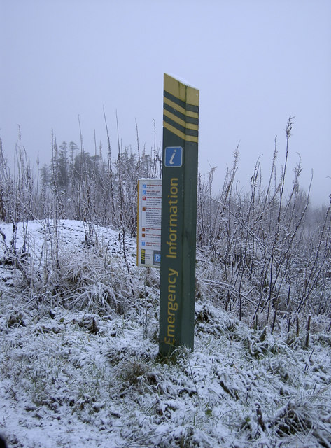
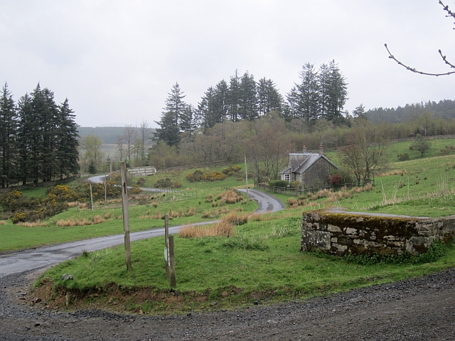
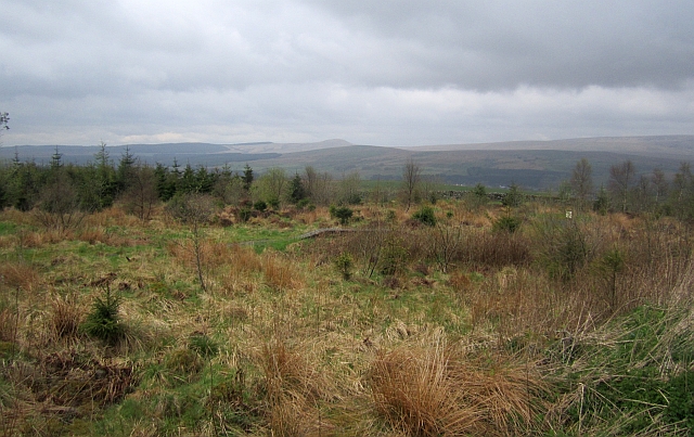
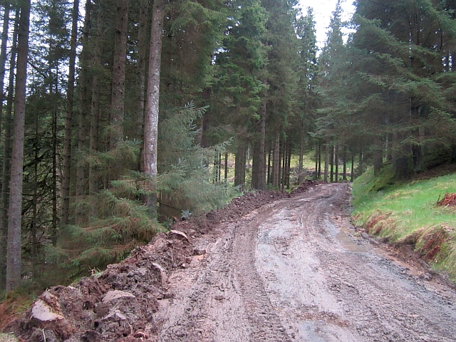
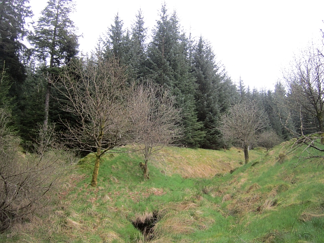
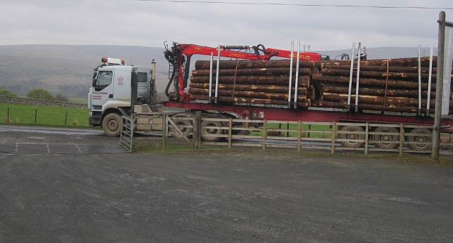
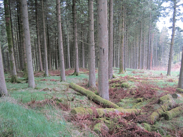
Hag Cleuch Images

Images are sourced within 2km of 55.170434/-2.7940738 or Grid Reference NY4986. Thanks to Geograph Open Source API. All images are credited.

Forestry road near Newcastleton
Newcastleton Forest
Newcastleton Forest
Gated field near Newcastleton
Fields beside the Liddel Water
Minor road near Newcastleton
Might need it! Winter arrives in the Borders - and some good advice is to hand.
Might need it!
Winter arrives in the Borders - and some good advice is to hand.
Road junction, Dykecrofts The usual way into Newcastleton Forest with the road into the picture being used for some of the walking routes at the Priest Hill car park. The mountain bike trails and other waymarked walking routes climb a gentle hill to the right.
Road junction, Dykecrofts
The usual way into Newcastleton Forest with the road into the picture being used for some of the walking routes at the Priest Hill car park. The mountain bike trails and other waymarked walking routes climb a gentle hill to the right.
Skills area, Newcastleton Forest A selection of problems that may turn up on a trail centre route.
Skills area, Newcastleton Forest
A selection of problems that may turn up on a trail centre route.
Hidden Valley, Newcastleton The top of the first bit of singletrack on the red route at Newcastleton.
Hidden Valley, Newcastleton
The top of the first bit of singletrack on the red route at Newcastleton.
Obstacle, Hidden Valley An optional crossing of a pond on the Hidden Valley singletrack at Newcastleton.
Obstacle, Hidden Valley
An optional crossing of a pond on the Hidden Valley singletrack at Newcastleton.
Tweeden Burn At the foot of Hillhouse Wood, Newcastleton Forest.
Tweeden Burn
At the foot of Hillhouse Wood, Newcastleton Forest.
Logging road, Newcastleton Forest The road is being regraded prior to a new surface being added. This made things very muddy.
Logging road, Newcastleton Forest
The road is being regraded prior to a new surface being added. This made things very muddy.
Clart track The road is being regraded prior to a new surface being added. This made for an unpleasantly sticky climb to the Border Stane. The grader was at work a short distance downhill.
Clart track
The road is being regraded prior to a new surface being added. This made for an unpleasantly sticky climb to the Border Stane. The grader was at work a short distance downhill.
Newstell Syke A small burn runs through a gap in the conifers towards the Tweeden Burn. This hillside was one of the first to be planted with conifers at Newcastleton.
Newstell Syke
A small burn runs through a gap in the conifers towards the Tweeden Burn. This hillside was one of the first to be planted with conifers at Newcastleton.
Logs leaving Newcastleton Forest Timber lorry passing the car park at Dykecrofts.
Logs leaving Newcastleton Forest
Timber lorry passing the car park at Dykecrofts.
Mature conifers, Newcastleton Forest At the start of the red route's descent of Hidden Valley.
Mature conifers, Newcastleton Forest
At the start of the red route's descent of Hidden Valley.
Larches, Castle Hill On the Hidden Valley descent, Newcastleton red route.
Larches, Castle Hill
On the Hidden Valley descent, Newcastleton red route.
Logging road, Newcastleton Forest A spur into Hillhouse Wood.
Logging road, Newcastleton Forest
A spur into Hillhouse Wood.
Show me another place!

Hag Cleuch is located at Grid Ref: NY4986 (Lat: 55.170434, Lng: -2.7940738)

Unitary Authority: The Scottish Borders

Police Authority: The Lothians and Scottish Borders

What 3 Words

///winners.rehearsal.plums. Near Langholm, Dumfries & Galloway

Related Wikis

Castleton, Scottish Borders

Castleton (Scottish Gaelic: Baile Chaisteil) is a civil parish in the Scottish Borders area of Scotland, in the former Roxburghshire, in the extreme south...

Newcastleton railway station

Newcastleton railway station served the village of Newcastleton, Scottish Borders, Scotland from 1862 to 1969 on the Border Union Railway. == History... ==

Newcastleton

Newcastleton, also called Copshaw Holm, is a village in Liddesdale, the Scottish Borders, a few miles from the border with England, on the Liddel Water...

Mangerton Tower

Mangerton Tower is a ruined Scottish tower castle house formerly belonging to the Armstrong family. Mangerton Tower is at Mangerton in Newcastleton or...

Nearby Amenities

Located within 500m of 55.170434,-2.7940738
The data included in this document is from www.openstreetmap.org. The data is made available under ODbL.

Have you been to Hag Cleuch?

Leave your review of Hag Cleuch below (or comments, questions and feedback).