Elmers Clough

Valley in Lancashire West Lancashire

England

Elmers Clough

Ashurst's Beacon The land here was only a bequest in 1962 to the people of Wigan
Ashurst's Beacon Credit: Kevin Waterhouse

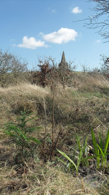
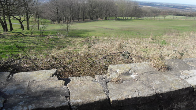
Elmers Clough, located in Lancashire, England, is a picturesque valley nestled amidst the magnificent beauty of the North West countryside. Surrounded by rolling hills and lush greenery, the valley offers a tranquil and idyllic setting for visitors to immerse themselves in the natural splendor of the region.

The valley is renowned for its breathtaking landscapes, with the Clough Beck River meandering through its heart, enhancing the charm of the area. The river is home to a diverse range of flora and fauna, providing a haven for nature enthusiasts and birdwatchers.

Elmers Clough boasts a rich history, with evidence of human habitation dating back centuries. The area was once a thriving hub of industry, with the remnants of old mills and factories still visible, serving as a reminder of its industrial past.

For those seeking outdoor adventures, Elmers Clough offers a plethora of activities. The valley is crisscrossed by numerous walking trails, allowing visitors to explore its hidden gems at their own pace. The scenic routes offer breathtaking views of the surrounding countryside, making it a popular destination for hikers and nature lovers.

In addition to its natural beauty, Elmers Clough is also home to a vibrant community. The valley is dotted with charming villages and hamlets, each exuding their own unique character. Local pubs and cafes offer a warm welcome to visitors, providing a chance to savor traditional Lancashire delicacies and experience the region's renowned hospitality.

In conclusion, Elmers Clough is a true gem in the Lancashire countryside. Its stunning landscapes, rich history, and warm community make it an ideal destination for those seeking a peaceful retreat or an adventure in nature.

If you have any feedback on the listing, please let us know in the comments section below.

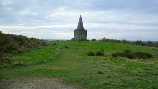
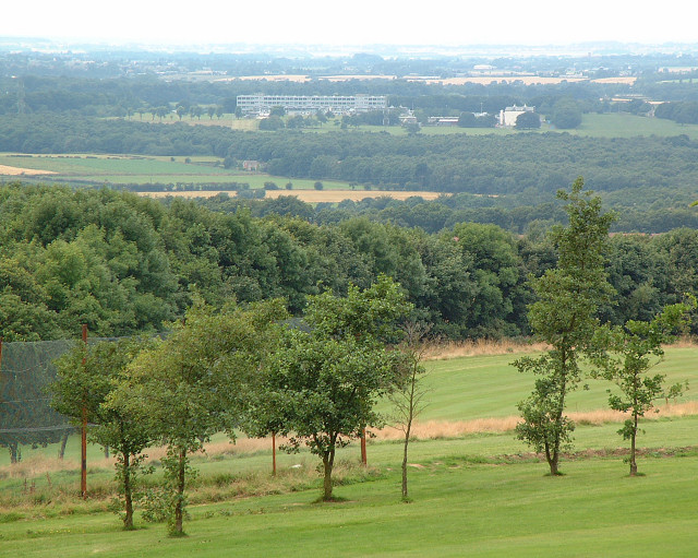
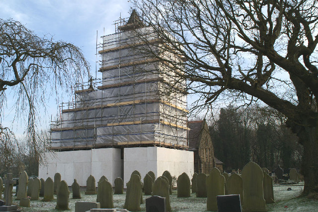
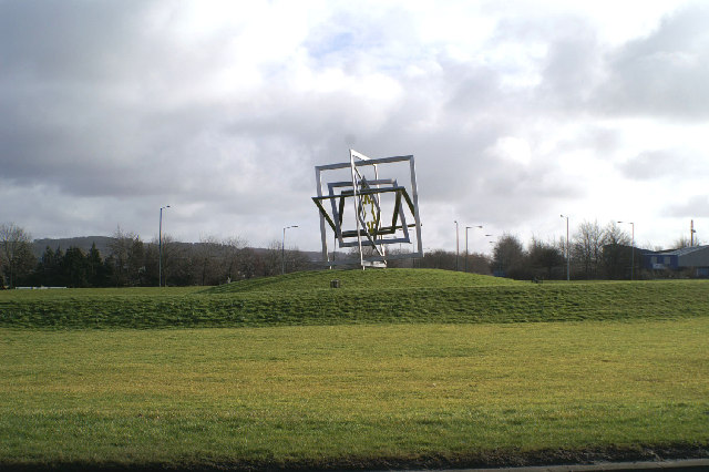
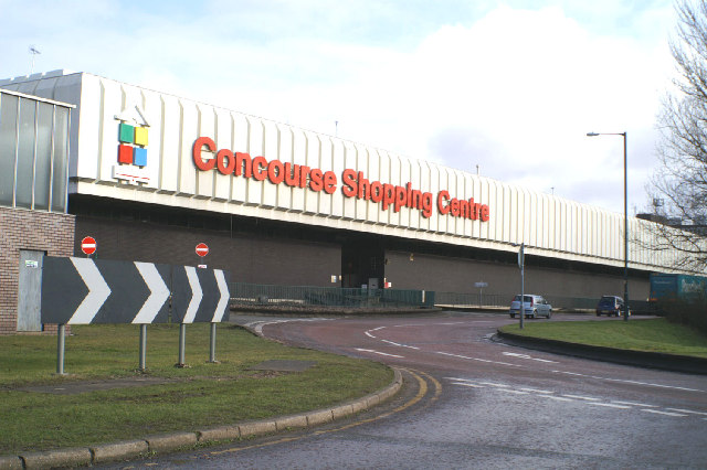
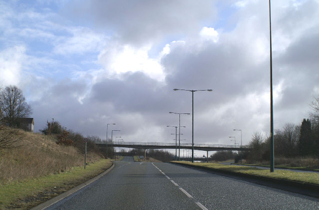
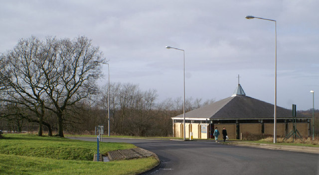
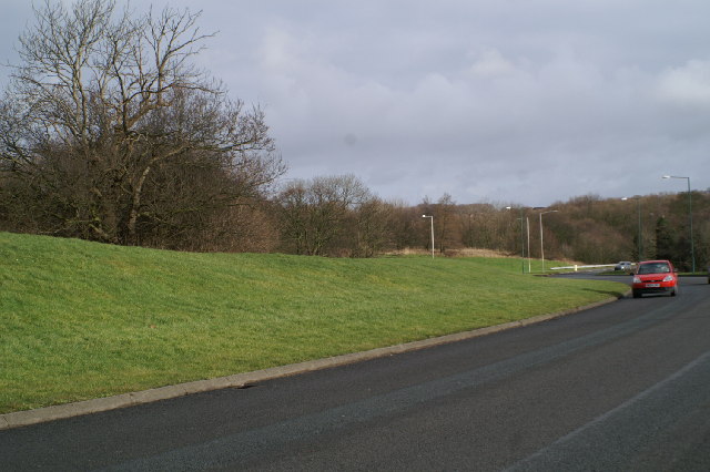
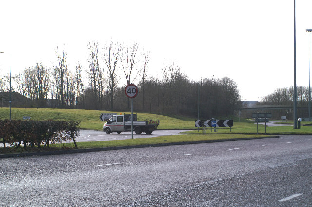
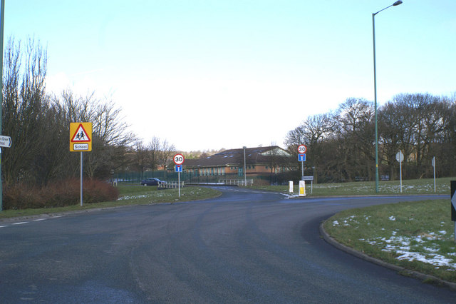
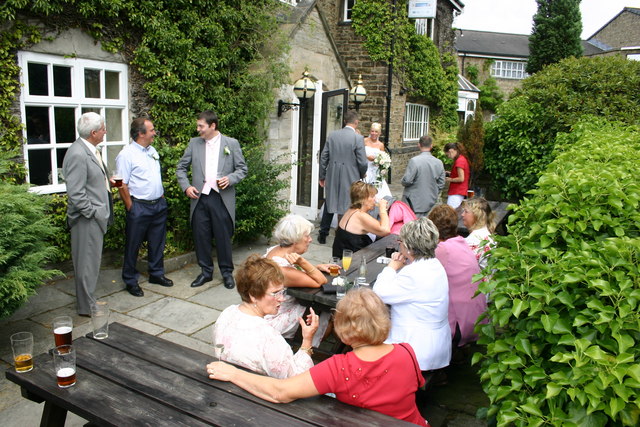
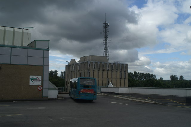
Elmers Clough Images

Images are sourced within 2km of 53.552582/-2.7632014 or Grid Reference SD4906. Thanks to Geograph Open Source API. All images are credited.

Ashurst's Beacon The land here was only a bequest in 1962 to the people of Wigan
Ashurst's Beacon
The land here was only a bequest in 1962 to the people of Wigan
Golf and Glass View WNW from the car park on the eastern edge of the grid square. Looking across Beacon Park golf course towards Pilkington's European Technology Centre on Hall Lane, Lathom.
Golf and Glass
View WNW from the car park on the eastern edge of the grid square. Looking across Beacon Park golf course towards Pilkington's European Technology Centre on Hall Lane, Lathom.
Roundabout Art, Skelmersdale The largest of Skelmersdales many roundabouts, this artwork is part of an award winning improvement project was completed in 2002, called the Elements. This involved the installation of public art sculptures on the major roundabouts along the town's main road corridor which also include a fibre optic light tower as well as a fascinating sculpture made up of images of local residents. The Marie Curie Hope Island is the home of the Gateway artwork, as well as a tribute to all cancer sufferers. The Elements project was given a Royal Town Planning Institute award soon after its completion
Roundabout Art, Skelmersdale
The largest of Skelmersdales many roundabouts, this artwork is part of an award winning improvement project was completed in 2002, called the Elements. This involved the installation of public art sculptures on the major roundabouts along the town's main road corridor which also include a fibre optic light tower as well as a fascinating sculpture made up of images of local residents. The Marie Curie Hope Island is the home of the Gateway artwork, as well as a tribute to all cancer sufferers. The Elements project was given a Royal Town Planning Institute award soon after its completion
Wrapped up against the cold St Michael & All Angels, Dalton
Wrapped up against the cold
St Michael & All Angels, Dalton
Star status for a Skelmersdale roundabout Skelmersdale New Town must be the place with the highest number of traffic islands, and has some of the largest.
Star status for a Skelmersdale roundabout
Skelmersdale New Town must be the place with the highest number of traffic islands, and has some of the largest.
Desert island for some Not everyone likes shopping
Desert island for some
Not everyone likes shopping
Ne'er the twain shall meet Skelmersdale's traffic system is aimed at keeping vehicles and pedestrians apart, leading to loads of footbridges, and no roadside pavements.
Ne'er the twain shall meet
Skelmersdale's traffic system is aimed at keeping vehicles and pedestrians apart, leading to loads of footbridges, and no roadside pavements.
All roads lead to Rome The Roman Catholic Church of St. Mary, Queen of Apostles, Skelmersdale, on yet another roundabout.
All roads lead to Rome
The Roman Catholic Church of St. Mary, Queen of Apostles, Skelmersdale, on yet another roundabout.
Bigger and bigger they get This is the largest roundabout in Skelmersdale - visible from space, I would think.
Bigger and bigger they get
This is the largest roundabout in Skelmersdale - visible from space, I would think.
A jewel of a traffic island Skelmersdale's traffic islands come in all sorts of configurations - this one is diamond-shaped.
A jewel of a traffic island
Skelmersdale's traffic islands come in all sorts of configurations - this one is diamond-shaped.
Elmers Green School Beside yet another Skem roundabout
Elmers Green School
Beside yet another Skem roundabout
Skelmersdale fire station Skelmersdale fire station, Tanhouse Road, Skelmersdale, Lancashire.
Skelmersdale fire station
Skelmersdale fire station, Tanhouse Road, Skelmersdale, Lancashire.
The Lancashire Manor Hotel, Nr. Skelmersdale This old manor house and great hall was formerly the Balcony Farm Hotel.

The great hall is a favourite venue for weddings and all other functions.
The Lancashire Manor Hotel, Nr. Skelmersdale
This old manor house and great hall was formerly the Balcony Farm Hotel. The great hall is a favourite venue for weddings and all other functions.
Turn left for Rainford,keep on for Skelmersdale Junction for Nipe Lane to Ferny Knoll and Rainford
Turn left for Rainford,keep on for Skelmersdale
Junction for Nipe Lane to Ferny Knoll and Rainford
Skelmersdale Police Station From the Bus Station.
Skelmersdale Police Station
From the Bus Station.
Ashurst's Beacon Towards Ashurst's Beacon
Ashurst's Beacon
Towards Ashurst's Beacon
Wall on the Golf Course Below Ashurst's Beacon
Wall on the Golf Course
Below Ashurst's Beacon
Roundabout on Tanhouse Road Part of the ring road system of Skelmersdale
Roundabout on Tanhouse Road
Part of the ring road system of Skelmersdale
Show me another place!

Elmers Clough is located at Grid Ref: SD4906 (Lat: 53.552582, Lng: -2.7632014)

Administrative County: Lancashire

District: West Lancashire

Police Authority: Lancashire

What 3 Words

///slimming.front.playroom. Near Skelmersdale, Lancashire

Related Wikis

Skelmersdale

Skelmersdale is a town in the West Lancashire district, in Lancashire, England, on the River Tawd, 6 miles (10 km) west of Wigan, 13 miles (21 km) northeast...

Skelmersdale and Holland

Skelmersdale and Holland was an urban district in Lancashire, England from 1968 to 1974. It was created by the merger of Skelmersdale and Upholland urban...

Glenburn Sports College

Glenburn Sports College was an 11–16 mixed, foundation secondary school in Skelmersdale, Lancashire, England. It was established in 1967 and was part of...

Dalton, Lancashire

Dalton is a village and civil parish in West Lancashire, England, near Skelmersdale and south of the River Douglas. Dalton was listed in the Domesday Book...

St Paul's Church, Skelmersdale

St Paul's Church is in Church Road, Skelmersdale, Lancashire, England. It is an active Anglican parish church in the deanery of Ormskirk, the archdeaconry...

St Joseph's College, Up Holland

St Joseph's College is a former Roman Catholic seminary and boarding school in Up Holland, Lancashire, England. The foundation of the original building...

Lathom High School

Lathom High School is a coeducational secondary school and specialist technology college located in Skelmersdale in the English county of Lancashire. Following...

Our Lady Queen of Peace Catholic Engineering College

Our Lady Queen of Peace Catholic Engineering College is a coeducational Roman Catholic secondary school located in Skelmersdale in the English county of...

Nearby Amenities

Located within 500m of 53.552582,-2.7632014
Turning Circle
Lat/Long: 53.5559891/-2.7612078
Source: OS_OpenData_StreetView
Lat/Long: 53.5561778/-2.7606241
Turning Circle
Lat/Long: 53.5553212/-2.7621347
Turning Circle
Lat/Long: 53.5516444/-2.7643889
Turning Circle
Lat/Long: 53.551839/-2.7620902
Turning Circle
Lat/Long: 53.5520146/-2.760897
Crossing
Crossing: unmarked
Kerb: lowered
Tactile Paving: no
Lat/Long: 53.5543836/-2.7693723
Crossing
Crossing: uncontrolled
Kerb: lowered
Tactile Paving: no
Lat/Long: 53.5534016/-2.7694165
Crossing
Crossing: uncontrolled
Kerb: lowered
Tactile Paving: no
Lat/Long: 53.5534276/-2.7692426
Hillside Health Centre
Addr City: Skelmersdale
Addr Street: Tanhouse Road
Healthcare: doctor
Lat/Long: 53.5496578/-2.764521
Traffic Calming: hump
Lat/Long: 53.5525647/-2.769179
Traffic Calming: hump
Lat/Long: 53.5522299/-2.7703245
Bus Stop
Bench: stand_up_bench
Bin: yes
Bus: yes
Naptan AtcoCode: 2500DCL2239
Naptan NaptanCode: landgdmd
Public Transport: platform
Shelter: yes
Lat/Long: 53.5500313/-2.760471
Bus Stop
Bus: yes
Naptan AtcoCode: 2500DCL2240
Naptan NaptanCode: landgdmg
Public Transport: platform
Lat/Long: 53.5492393/-2.7605702
Birch Green
Is In: Skelmersdale
Place: suburb
Lat/Long: 53.554675/-2.7682723
Elmer's Green
Is In: Skelmersdale
Place: suburb
Lat/Long: 53.5533064/-2.7569689
Direction: SSE
Generator Method: photovoltaic
Generator Output Electricity: yes
Generator Solar Modules: 16
Generator Source: solar
Generator Type: solar_photovoltaic_panel
Location: roof
Power: generator
Lat/Long: 53.5559341/-2.7615021
Direction: SSE
Generator Method: photovoltaic
Generator Output Electricity: yes
Generator Solar Modules: 16
Generator Source: solar
Generator Type: solar_photovoltaic_panel
Location: roof
Power: generator
Lat/Long: 53.5563896/-2.7606561
Direction: SSE
Generator Method: photovoltaic
Generator Output Electricity: yes
Generator Solar Modules: 16
Generator Source: solar
Generator Type: solar_photovoltaic_panel
Location: roof
Power: generator
Lat/Long: 53.5558679/-2.760711
Crossing
Lat/Long: 53.5564583/-2.7654335
Crossing
Lat/Long: 53.5568586/-2.7654512
Crossing
Lat/Long: 53.5541362/-2.7659418
Crossing
Lat/Long: 53.5537309/-2.7659433
Crossing
Lat/Long: 53.553325/-2.7659302
Crossing
Lat/Long: 53.5538106/-2.7647619
Bus Stop
Bus: yes
Departures Board: timetable
Naptan AtcoCode: 2500LAA07567
Naptan NaptanCode: lanjpmam
Public Transport: platform
Shelter: no
Lat/Long: 53.5534336/-2.7635454
Bus Stop
Bus: yes
Public Transport: platform
Lat/Long: 53.5529861/-2.7643111
Crossing
Lat/Long: 53.552516/-2.7655709
Bus Stop
Bus: yes
Naptan AtcoCode: 2500LAA07568
Naptan NaptanCode: lanjpmap
Public Transport: platform
Lat/Long: 53.5540982/-2.769159
Bus Stop
Bus: yes
Naptan AtcoCode: 2500LA00252
Naptan NaptanCode: langpjgp
Public Transport: platform
Lat/Long: 53.5549208/-2.7695744
Crossing
Lat/Long: 53.5562673/-2.7665971
Crossing
Lat/Long: 53.5545804/-2.7636506
Crossing
Lat/Long: 53.5549907/-2.7636578
Crossing
Lat/Long: 53.5539324/-2.7686679
Crossing
Lat/Long: 53.5546292/-2.7647707
Crossing
Lat/Long: 53.5522497/-2.7632647
Bus Stop
Birch Green Community Centre
Bus: yes
Departures Board: no
Naptan AtcoCode: 2500LA00250
Naptan NaptanCode: langpjgj
Public Transport: platform
Shelter: yes
Lat/Long: 53.5561754/-2.7634342
Bus Stop
Birch Green Community Centre
Bus: yes
Departures Board: no
Naptan AtcoCode: 2500LA00251
Naptan NaptanCode: langpjgm
Public Transport: platform
Shelter: yes
Lat/Long: 53.5563328/-2.7632135
Crossing
Crossing: unmarked
Lat/Long: 53.5507034/-2.7634167
Give Way
Direction: backward
Lat/Long: 53.5502393/-2.7633939
Give Way
Direction: backward
Lat/Long: 53.550217/-2.7631057
Crossing
Crossing: unmarked
Tactile Paving: no
Lat/Long: 53.5482628/-2.7652961
Give Way
Direction: forward
Lat/Long: 53.5503838/-2.7616119
Bus Stop
Bus: yes
Public Transport: platform
Lat/Long: 53.5490443/-2.7640931
Barrier: bollard
Lat/Long: 53.5508534/-2.7614226
Barrier: cycle_barrier
Lat/Long: 53.5523958/-2.7583908
Street Lamp
Lat/Long: 53.5497869/-2.7573625
Street Lamp
Lat/Long: 53.5498046/-2.7574987
Street Lamp
Lat/Long: 53.549694/-2.7574057
Street Lamp
Lat/Long: 53.5498688/-2.7585604
Street Lamp
Lat/Long: 53.5500734/-2.7585265
Street Lamp
Lat/Long: 53.5502732/-2.7583444
Street Lamp
Lat/Long: 53.5507428/-2.7700579
Street Lamp
Lat/Long: 53.5507289/-2.7691585
Street Lamp
Lat/Long: 53.5507471/-2.7687072
Street Lamp
Lat/Long: 53.5507477/-2.7682458
Street Lamp
Lat/Long: 53.550645/-2.7679439
Street Lamp
Lat/Long: 53.5503973/-2.7579626
Street Lamp
Lat/Long: 53.5503798/-2.7569833
Street Lamp
Lat/Long: 53.5497533/-2.7590939
Street Lamp
Lat/Long: 53.5495721/-2.7597733
Street Lamp
Lat/Long: 53.5494096/-2.7599712
Street Lamp
Lat/Long: 53.549695/-2.7579616
Street Lamp
Lat/Long: 53.5497665/-2.7583141
Street Lamp
Lat/Long: 53.5500026/-2.7584319
Street Lamp
Lat/Long: 53.5501916/-2.7573352
Street Lamp
Lat/Long: 53.5500762/-2.757321
Street Lamp
Lat/Long: 53.549376/-2.7605958
Street Lamp
Lat/Long: 53.5491646/-2.7609932
Street Lamp
Lat/Long: 53.5487784/-2.7625322
Street Lamp
Lat/Long: 53.5491219/-2.7616008
Street Lamp
Lat/Long: 53.5488896/-2.7620882
Street Lamp
Lat/Long: 53.5493951/-2.7629269
Street Lamp
Lat/Long: 53.5500928/-2.7595354
Street Lamp
Lat/Long: 53.550131/-2.7589668
Street Lamp
Lat/Long: 53.5504402/-2.7581088
Street Lamp
Lat/Long: 53.5521149/-2.758265
Street Lamp
Lat/Long: 53.5511613/-2.7578586
Street Lamp
Lat/Long: 53.55291/-2.7583916
Street Lamp
Lat/Long: 53.5535385/-2.7569661
Street Lamp
Lat/Long: 53.5533378/-2.7563399
Street Lamp
Lat/Long: 53.5534461/-2.7566792
Street Lamp
Lat/Long: 53.5526374/-2.7584303
Street Lamp
Lat/Long: 53.5518626/-2.7579975
Street Lamp
Lat/Long: 53.5516032/-2.758008
Street Lamp
Lat/Long: 53.5513726/-2.7577815
Street Lamp
Lat/Long: 53.5509333/-2.7576737
Street Lamp
Lat/Long: 53.5510776/-2.7580948
Street Lamp
Lat/Long: 53.5507693/-2.7577435
Street Lamp
Lat/Long: 53.550551/-2.7578132
Street Lamp
Lat/Long: 53.5498751/-2.7605497
Street Lamp
Lat/Long: 53.5498498/-2.7612145
Street Lamp
Lat/Long: 53.5496946/-2.7615704
Street Lamp
Lat/Long: 53.5496675/-2.7620054
Street Lamp
Lat/Long: 53.5495662/-2.7625671
Street Lamp
Lat/Long: 53.549319/-2.7634546
Street Lamp
Lat/Long: 53.5489697/-2.7642209
Street Lamp
Lat/Long: 53.5490924/-2.7637898
Street Lamp
Lat/Long: 53.5487391/-2.7643663
Street Lamp
Lat/Long: 53.54841/-2.7647928
Street Lamp
Lat/Long: 53.5483232/-2.7648089
Post Box
Operator: Royal Mail
Operator Wikidata: Q638098
Post Box Design: type_b
Post Box Type: pillar
Ref: WN8 258
Royal Cypher: EIIR
Lat/Long: 53.5488421/-2.7612952
Post Box
Operator: Royal Mail
Operator Wikidata: Q638098
Post Box Type: lamp
Ref: WN8 272
Royal Cypher: EIIR
Lat/Long: 53.5534057/-2.7636424
Barrier: bollard
Bollard: fixed
Material: concrete
Lat/Long: 53.5534296/-2.7636727
Post Box
Operator: Royal Mail
Operator Wikidata: Q638098
Post Box Type: lamp
Ref: WN8 228
Royal Cypher: EIIR
Lat/Long: 53.5502732/-2.7630213
Post Box
Operator: Royal Mail
Operator Wikidata: Q638098
Post Box Type: lamp
Ref: WN8 251
Royal Cypher: EIIR
Lat/Long: 53.5505085/-2.7565087
The data included in this document is from www.openstreetmap.org. The data is made available under ODbL.

Have you been to Elmers Clough?

Leave your review of Elmers Clough below (or comments, questions and feedback).