Mill Hill

Hill, Mountain in Yorkshire

England

Mill Hill

Elizabeth II postbox on Low Street, Sancton Postbox No. YO43 357.

See <a href="https://www.geograph.org.uk/photo/7024080">SE9039 : Elizabeth II postbox and telephone box on Low Street, Sancton</a> and <a href="https://www.geograph.org.uk/photo/7024083">SE9039 : Low Street, Sancton</a> for context.
Elizabeth II postbox on Low Street, Sancton Credit: JThomas

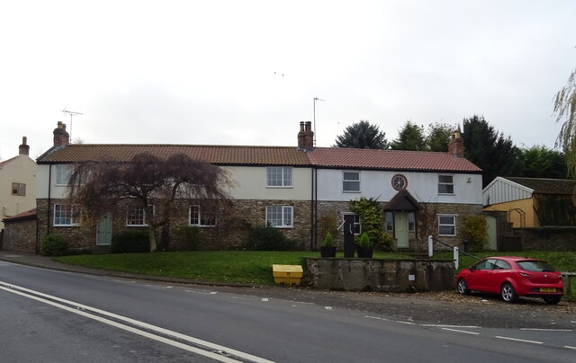
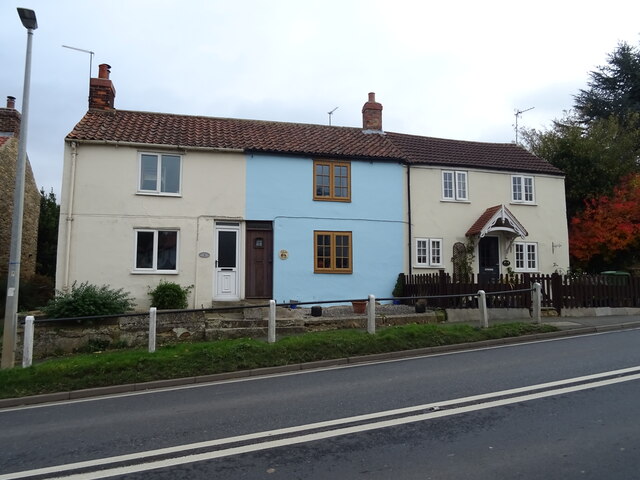
Mill Hill is a small village located in the county of Yorkshire, England. Situated on a hill, it offers stunning views of the surrounding countryside and is a popular destination for nature lovers and hikers.

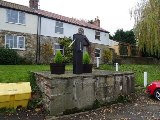
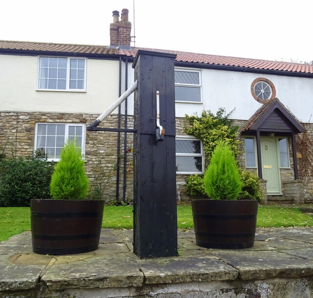
The village itself is quaint and charming, with traditional stone houses and a close-knit community. It has a population of around 500 residents, who enjoy a peaceful and tranquil lifestyle. The village is known for its beautiful gardens and well-maintained green spaces, which add to its overall picturesque appeal.

One of the main attractions in Mill Hill is its proximity to the Yorkshire Dales National Park. This vast and stunning natural landscape is a haven for outdoor enthusiasts, offering a range of activities such as hiking, cycling, and birdwatching. The park is also home to various species of wildlife, including deer, foxes, and a wide variety of birds.

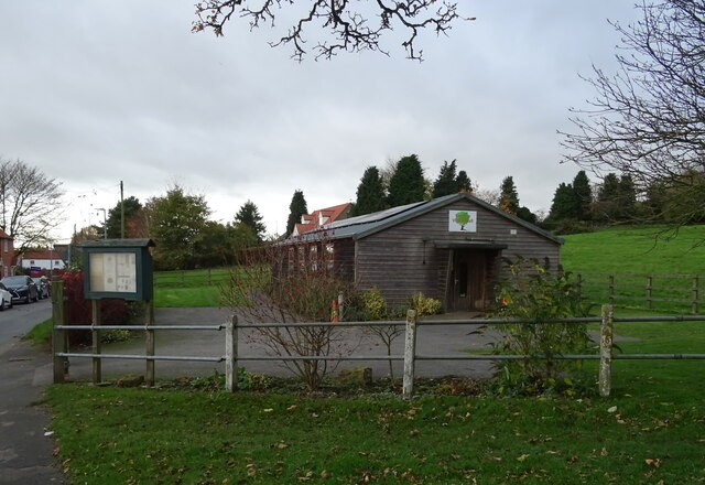
Mill Hill itself has a few amenities, including a small grocery store, a pub, and a village hall. The pub is a popular gathering spot for locals and visitors alike, offering a warm and friendly atmosphere. The village hall hosts various community events throughout the year, including fairs, concerts, and social gatherings.

Overall, Mill Hill is a charming village nestled in the scenic Yorkshire countryside. With its stunning views, proximity to the Yorkshire Dales, and strong sense of community, it is a desirable place to live or visit for those seeking a peaceful and idyllic lifestyle.

If you have any feedback on the listing, please let us know in the comments section below.
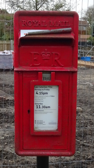
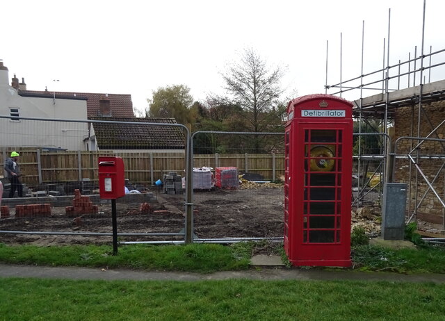
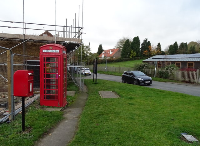
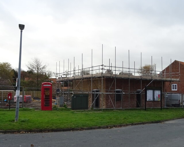
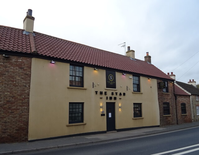
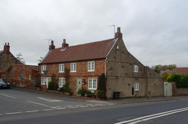
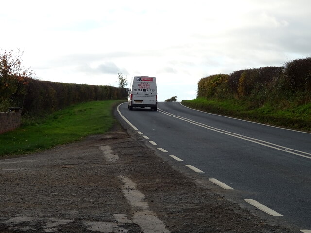
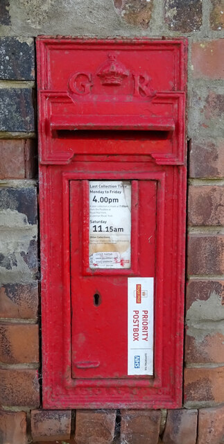
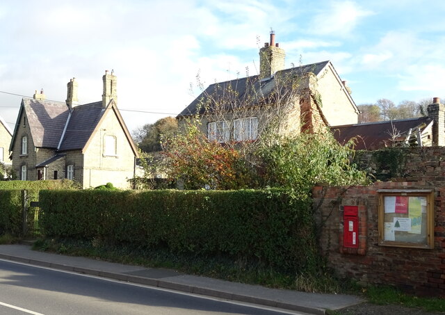
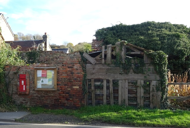
Mill Hill Images

Images are sourced within 2km of 53.834042/-0.65830021 or Grid Reference SE8838. Thanks to Geograph Open Source API. All images are credited.

Elizabeth II postbox on Low Street, Sancton Postbox No. YO43 357.

See <a href="https://www.geograph.org.uk/photo/7024080">SE9039 : Elizabeth II postbox and telephone box on Low Street, Sancton</a> and <a href="https://www.geograph.org.uk/photo/7024083">SE9039 : Low Street, Sancton</a> for context.
Elizabeth II postbox on Low Street, Sancton
Elizabeth II postbox and telephone box on Low Street, Sancton Telephone box now houses a defibrillator.

Postbox No. YO43 357.
See <a href="https://www.geograph.org.uk/photo/7024078">SE9039 : Elizabeth II postbox on Low Street, Sancton</a> for postbox.
Elizabeth II postbox and telephone box on Low Street, Sancton
Telephone box now houses a defibrillator. Postbox No. YO43 357. See SE9039 : Elizabeth II postbox on Low Street, Sancton for postbox.
Low Street, Sancton Telephone box now houses a defibrillator.
Showing position of Postbox No. YO43 357.

See <a href="https://www.geograph.org.uk/photo/7024078">SE9039 : Elizabeth II postbox on Low Street, Sancton</a> for postbox.
Low Street, Sancton
Telephone box now houses a defibrillator. Showing position of Postbox No. YO43 357. See SE9039 : Elizabeth II postbox on Low Street, Sancton for postbox.
Sancton Village Hall
Building site on Low Street, Sancton
The Star Inn, Sancton On King Street.
The Star Inn, Sancton
On King Street.
Sign for the Star Inn, Sancton
Cottage, Sancton Junction of High Street, King Street.
Cottage, Sancton
Junction of High Street, King Street.
Cottages on High Street, Sancton
Old pump on High Street, Sancton
Cottages on King Street, Sancton
White van man on the A1034 Heading south.
White van man on the A1034
Heading south.
George V postbox on Cliffe Road, North Cliffe Postbox No. YO43 390.

See <a href="https://www.geograph.org.uk/photo/7024108">SE8736 : Houses on Cliffe Road, North Cliffe</a> and <a href="https://www.geograph.org.uk/photo/7024110">SE8736 : Communications centre on Cliffe Road, North Cliffe</a> for context.
George V postbox on Cliffe Road, North Cliffe
Houses on Cliffe Road, North Cliffe Showing position of Postbox No. YO43 390.

See <a href="https://www.geograph.org.uk/photo/7024107">SE8736 : George V postbox on Cliffe Road, North Cliffe</a> for postbox.
Houses on Cliffe Road, North Cliffe
Showing position of Postbox No. YO43 390. See SE8736 : George V postbox on Cliffe Road, North Cliffe for postbox.
Communications centre on Cliffe Road, North Cliffe Showing position of Postbox No. YO43 390.

See <a href="https://www.geograph.org.uk/photo/7024107">SE8736 : George V postbox on Cliffe Road, North Cliffe</a> for postbox.
Communications centre on Cliffe Road, North Cliffe
Showing position of Postbox No. YO43 390. See SE8736 : George V postbox on Cliffe Road, North Cliffe for postbox.
Entering Sancton On Market Weighton Road (A1034).
Entering Sancton
On Market Weighton Road (A1034).
All Saints Church, Sancton
Show me another place!

Mill Hill is located at Grid Ref: SE8838 (Lat: 53.834042, Lng: -0.65830021)

Division: East Riding

Unitary Authority: East Riding of Yorkshire

Police Authority: Humberside

What 3 Words

///marked.cured.flags. Near Market Weighton, East Yorkshire

Related Wikis

Harthill Wapentake

Harthill was a wapentake of the historic East Riding of Yorkshire, England consisting of the central part of the county. Established in medieval times...

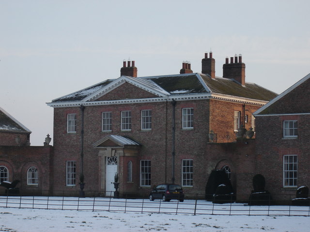
Houghton Hall, East Riding of Yorkshire

Houghton Hall, Sancton, near Market Weighton, is a Grade I listed Georgian country mansion in the East Riding of Yorkshire, England, set in an estate of...

Houghton, East Riding of Yorkshire

Houghton is a hamlet in the East Riding of Yorkshire, England. It is situated approximately 2 miles (3.2 km) south of the market town of Market Weighton...

North Cliffe

North Cliffe is a hamlet and former civil parish, now in the parish of South Cliffe, in the East Riding of Yorkshire, England. It is situated about 3 miles...

Nearby Amenities

Located within 500m of 53.834042,-0.65830021
The data included in this document is from www.openstreetmap.org. The data is made available under ODbL.

Have you been to Mill Hill?

Leave your review of Mill Hill below (or comments, questions and feedback).