Sandwalk Plantation
Wood, Forest in Yorkshire
England
Sandwalk Plantation
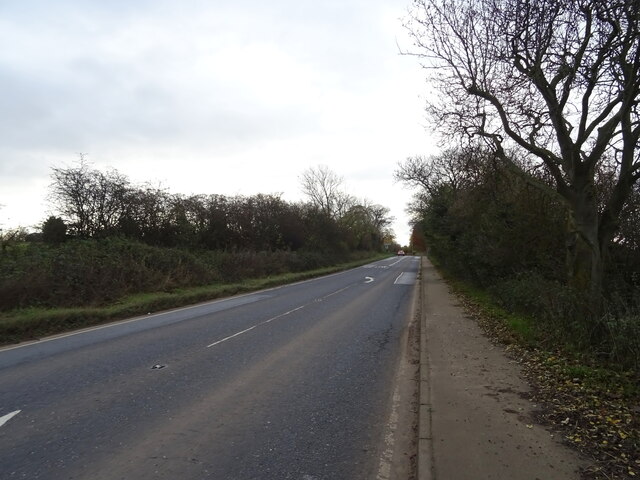
Sandwalk Plantation is a picturesque woodland located in the heart of Yorkshire, England. Covering an expansive area, this enchanting forest is known for its dense canopies, towering trees, and diverse flora and fauna. The plantation is situated in close proximity to the charming village of Sandwalk, which adds to its allure as a popular destination for nature enthusiasts and hikers.
The woodland is characterized by its rich biodiversity and is home to a wide range of plant species, including ancient oaks, beeches, and birches. The forest floor is adorned with carpets of bluebells during the spring, creating a breathtaking sight for visitors. Additionally, the plantation boasts a variety of shrubs, ferns, and mosses that thrive in its damp and shaded environment.
Several walking trails wind their way through Sandwalk Plantation, offering visitors the opportunity to explore its natural wonders. The paths are well-maintained and vary in difficulty, catering to both casual strollers and avid hikers. Along the way, hikers may spot wildlife such as squirrels, deer, and a multitude of bird species, making the plantation a haven for birdwatching enthusiasts.
Sandwalk Plantation is not only a haven for nature lovers but also serves as an important ecological site. It provides a habitat for many endangered species, contributing to the overall conservation efforts in the region.
Overall, Sandwalk Plantation is a captivating woodland that showcases the beauty of nature in Yorkshire. Its lush greenery, thriving wildlife, and tranquil atmosphere make it a must-visit destination for those seeking a peaceful retreat amidst the natural splendor of the English countryside.
If you have any feedback on the listing, please let us know in the comments section below.
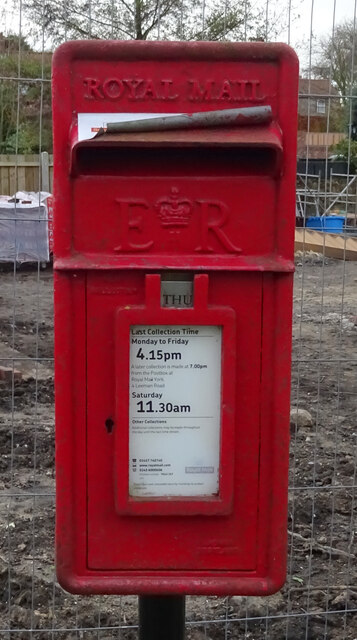
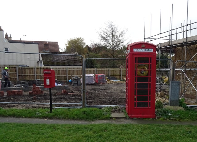
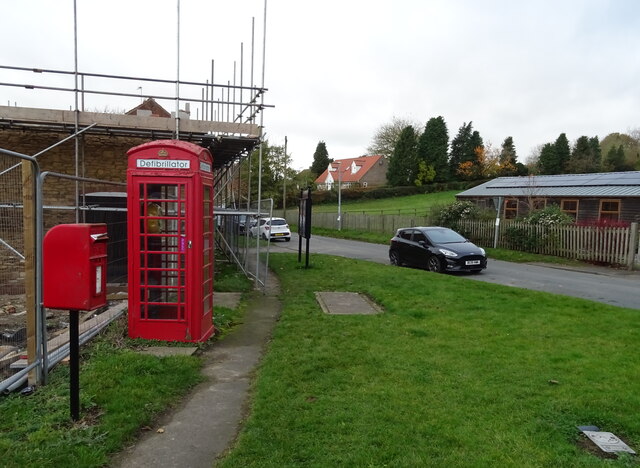
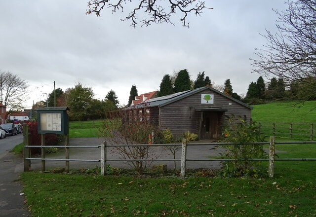
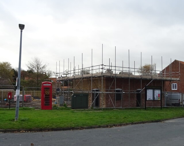
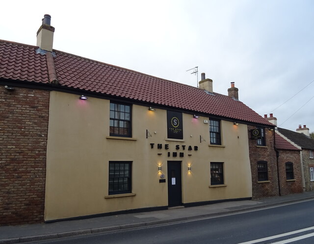
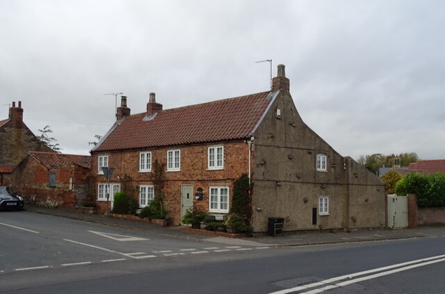
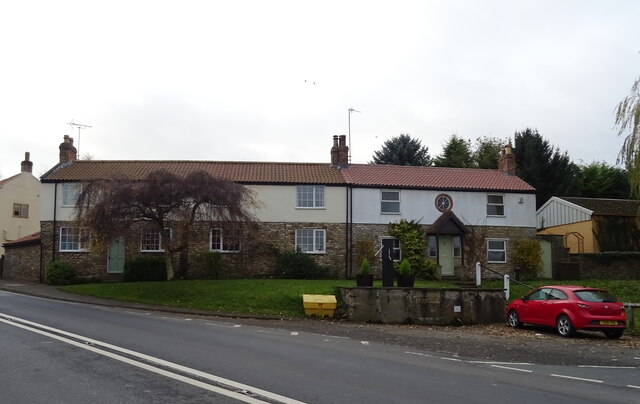
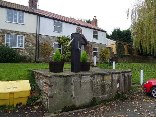
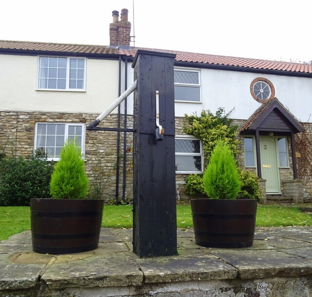
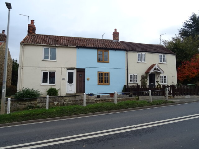
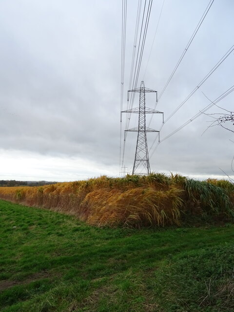
Sandwalk Plantation Images
Images are sourced within 2km of 53.838675/-0.65781777 or Grid Reference SE8838. Thanks to Geograph Open Source API. All images are credited.


Sandwalk Plantation is located at Grid Ref: SE8838 (Lat: 53.838675, Lng: -0.65781777)
Division: East Riding
Unitary Authority: East Riding of Yorkshire
Police Authority: Humberside
What 3 Words
///relieves.noticing.playoffs. Near Market Weighton, East Yorkshire
Related Wikis
Houghton, East Riding of Yorkshire
Houghton is a hamlet in the East Riding of Yorkshire, England. It is situated approximately 2 miles (3.2 km) south of the market town of Market Weighton...
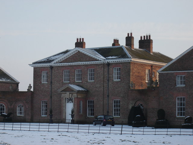
Houghton Hall, East Riding of Yorkshire
Houghton Hall, Sancton, near Market Weighton, is a Grade I listed Georgian country mansion in the East Riding of Yorkshire, England, set in an estate of...

Harthill Wapentake
Harthill was a wapentake of the historic East Riding of Yorkshire, England consisting of the central part of the county. Established in medieval times...
Sancton
For people with the surname, see Sancton (surname). Sancton is a village and civil parish in the East Riding of Yorkshire, England. It is situated approximately...
Nearby Amenities
Located within 500m of 53.838675,-0.65781777Have you been to Sandwalk Plantation?
Leave your review of Sandwalk Plantation below (or comments, questions and feedback).