Millhill Plantation
Wood, Forest in Yorkshire
England
Millhill Plantation
Millhill Plantation, located in Yorkshire, is a picturesque woodland area renowned for its natural beauty and rich biodiversity. Spanning over a vast expanse, the plantation is a haven for nature enthusiasts and offers a peaceful retreat for visitors seeking tranquility amidst the lush green surroundings.
The woodland is characterized by its dense forest cover, with towering trees reaching towards the sky. The dominant tree species in Millhill Plantation include oak, beech, and ash, which contribute to the area's diverse ecosystem. The forest floor is carpeted with an array of plants, such as bluebells, wild garlic, and ferns, adding to the enchanting atmosphere.
The plantation is home to a wide variety of wildlife, making it a popular destination for birdwatching and wildlife spotting. Visitors may catch a glimpse of various bird species, including woodpeckers, owls, and pheasants. Squirrels, rabbits, and even deer can also be spotted in the woodland, adding to the sense of natural wonder.
Millhill Plantation offers several walking trails and paths, allowing visitors to explore the woodland at their own pace. These trails wind through the forest, providing opportunities to immerse oneself in the peaceful surroundings and enjoy the sights and sounds of nature. The plantation also features picnic areas, making it an ideal spot for a leisurely outdoor lunch.
Overall, Millhill Plantation in Yorkshire is a true gem for nature lovers, offering a serene and idyllic setting to enjoy the beauty of woodlands and the abundant wildlife that calls it home.
If you have any feedback on the listing, please let us know in the comments section below.
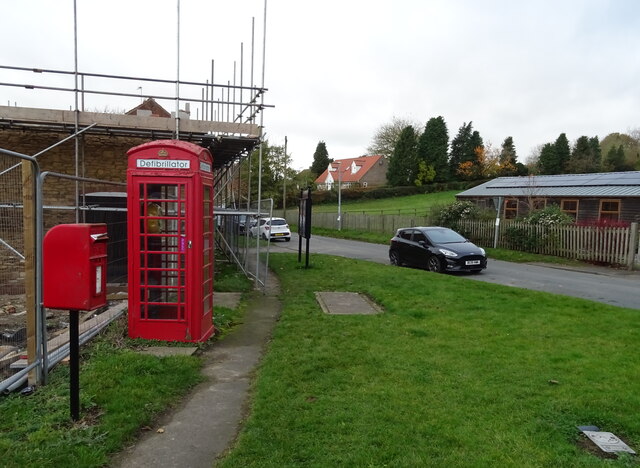
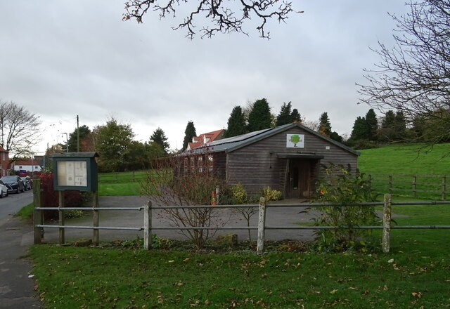
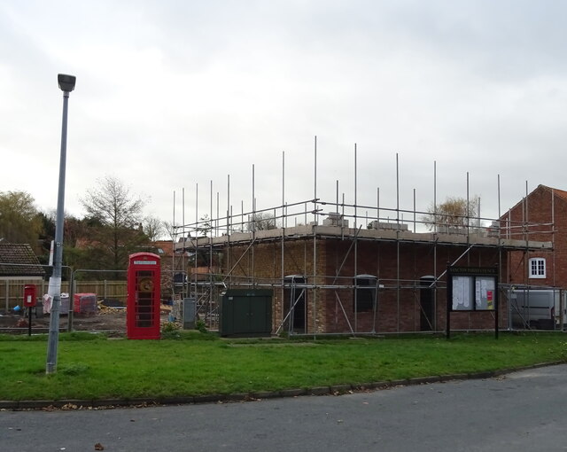
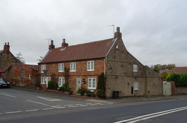
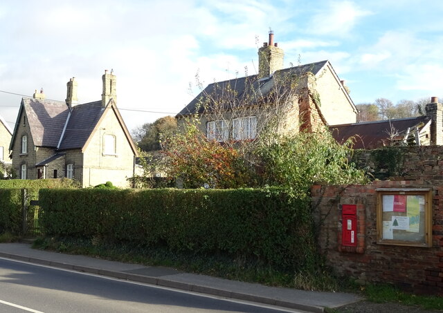
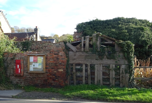
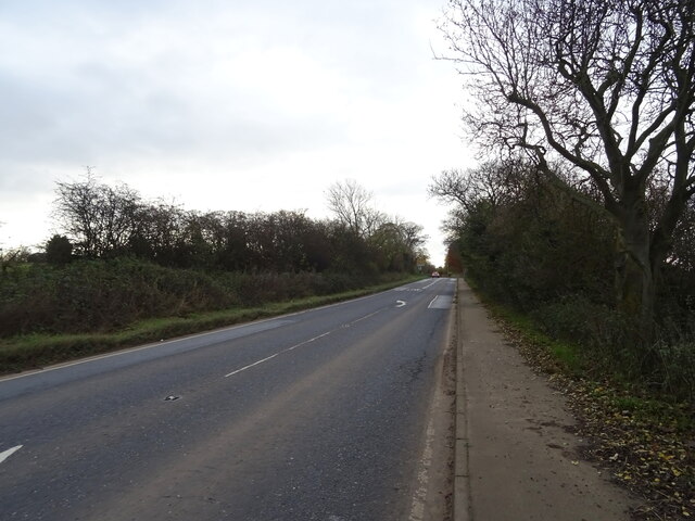
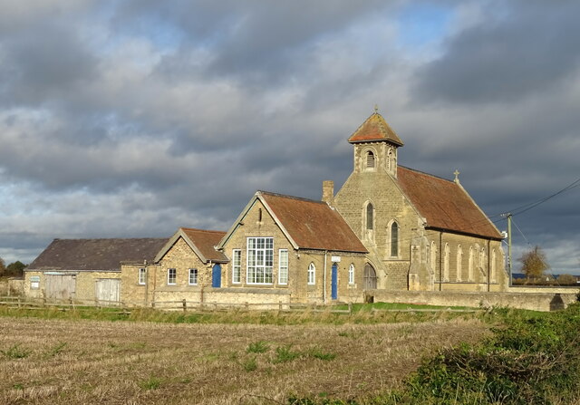
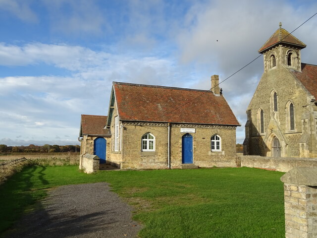
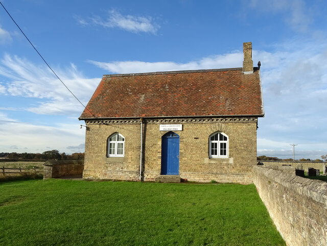
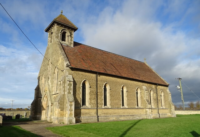
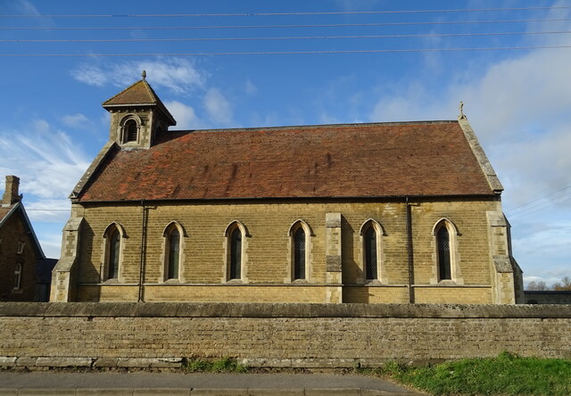
Millhill Plantation Images
Images are sourced within 2km of 53.837446/-0.6621123 or Grid Reference SE8838. Thanks to Geograph Open Source API. All images are credited.


Millhill Plantation is located at Grid Ref: SE8838 (Lat: 53.837446, Lng: -0.6621123)
Division: East Riding
Unitary Authority: East Riding of Yorkshire
Police Authority: Humberside
What 3 Words
///novelist.question.exonerate. Near Market Weighton, East Yorkshire
Related Wikis
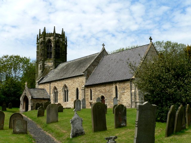
Houghton, East Riding of Yorkshire
Houghton is a hamlet in the East Riding of Yorkshire, England. It is situated approximately 2 miles (3.2 km) south of the market town of Market Weighton...
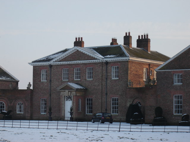
Houghton Hall, East Riding of Yorkshire
Houghton Hall, Sancton, near Market Weighton, is a Grade I listed Georgian country mansion in the East Riding of Yorkshire, England, set in an estate of...

Harthill Wapentake
Harthill was a wapentake of the historic East Riding of Yorkshire, England consisting of the central part of the county. Established in medieval times...

North Cliffe
North Cliffe is a hamlet and former civil parish, now in the parish of South Cliffe, in the East Riding of Yorkshire, England. It is situated about 3 miles...
Sancton
For people with the surname, see Sancton (surname). Sancton is a village and civil parish in the East Riding of Yorkshire, England. It is situated approximately...

South Cliffe
South Cliffe is a village and civil parish in the East Riding of Yorkshire, England. It is situated about 2.5 miles (4 km) north of North Cave, 2 miles...

Market Weighton
Market Weighton ( WEE-tən) is a town and civil parish in the East Riding of Yorkshire, England. It is one of the main towns in the East Yorkshire Wolds...

Vixen 101
Vixen 101 (or Vixen 87 as it was originally known) is a community radio organisation based in the town of Market Weighton, East Riding of Yorkshire, England...
Nearby Amenities
Located within 500m of 53.837446,-0.6621123Have you been to Millhill Plantation?
Leave your review of Millhill Plantation below (or comments, questions and feedback).