Bracken Hill
Hill, Mountain in Yorkshire
England
Bracken Hill
Bracken Hill is a picturesque hill located in the county of Yorkshire, England. Situated in the beautiful Yorkshire Dales National Park, it offers breathtaking views and serene surroundings. With an elevation of approximately 400 meters, it is considered a prominent hill in the area.
The hill is covered in lush greenery, including an abundance of bracken ferns, which gives it its name. The diverse vegetation, including heather and wildflowers, adds to its natural beauty. Bracken Hill is also home to a variety of wildlife, including birds, rabbits, and occasional sightings of deer.
The hill is a popular destination for hikers and nature enthusiasts, offering several well-marked trails that cater to different skill levels. The paths meander through the rolling countryside, providing stunning vistas of the surrounding landscape. At the summit, visitors are rewarded with panoramic views of the Yorkshire Dales, with its patchwork fields, stone walls, and charming villages.
The area surrounding Bracken Hill is rich in history and heritage. There are traces of ancient settlements and burial mounds, dating back to prehistoric times, adding an element of intrigue to the hill. Additionally, the hill is located near several historic sites and landmarks, including medieval castles and churches, which further enhance its appeal.
Bracken Hill truly offers a tranquil and idyllic retreat, allowing visitors to immerse themselves in the beauty of nature and experience the rich cultural heritage of Yorkshire. Whether it's a leisurely stroll or a challenging hike, a visit to Bracken Hill promises an unforgettable experience for all who venture to this stunning location.
If you have any feedback on the listing, please let us know in the comments section below.
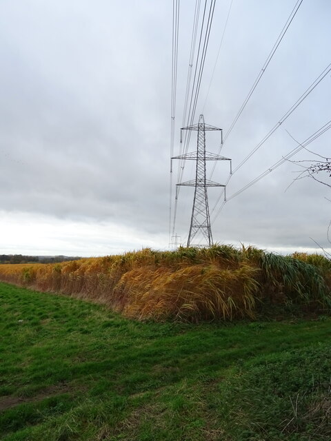
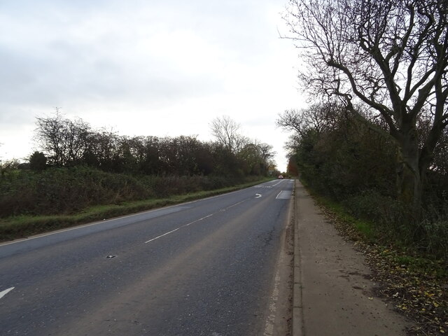
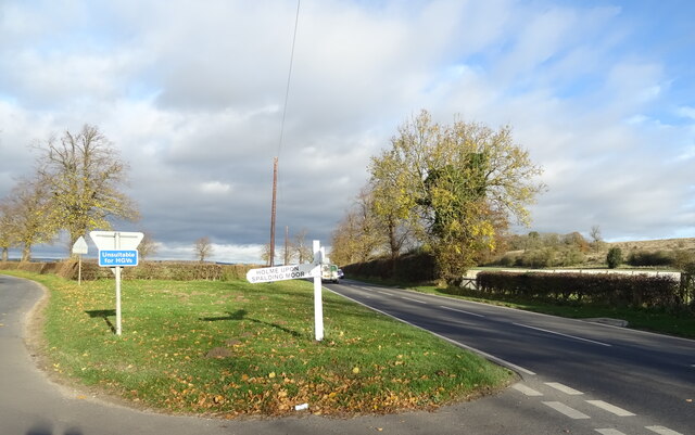
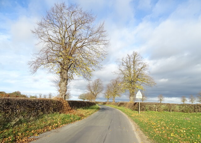
Bracken Hill Images
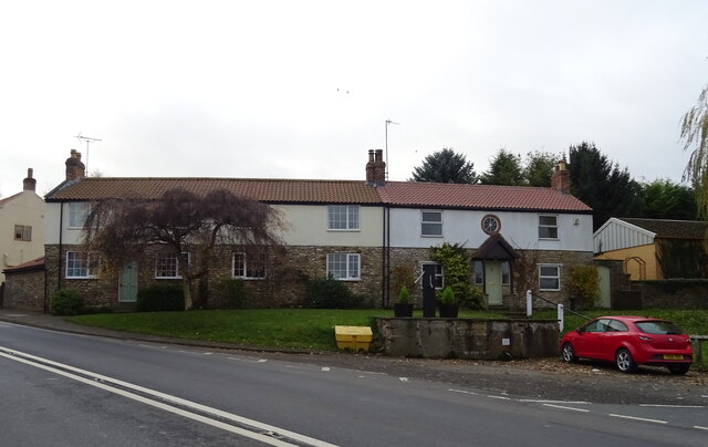
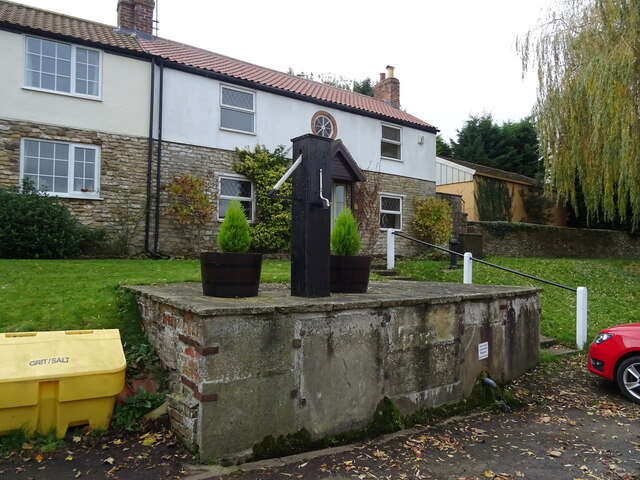
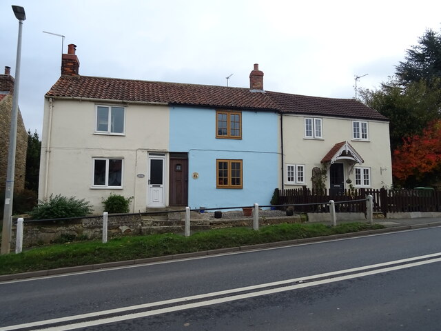
Images are sourced within 2km of 53.838272/-0.65959357 or Grid Reference SE8838. Thanks to Geograph Open Source API. All images are credited.


Bracken Hill is located at Grid Ref: SE8838 (Lat: 53.838272, Lng: -0.65959357)
Division: East Riding
Unitary Authority: East Riding of Yorkshire
Police Authority: Humberside
What 3 Words
///informer.treble.riot. Near Market Weighton, East Yorkshire
Nearby Locations
Related Wikis
Houghton, East Riding of Yorkshire
Houghton is a hamlet in the East Riding of Yorkshire, England. It is situated approximately 2 miles (3.2 km) south of the market town of Market Weighton...
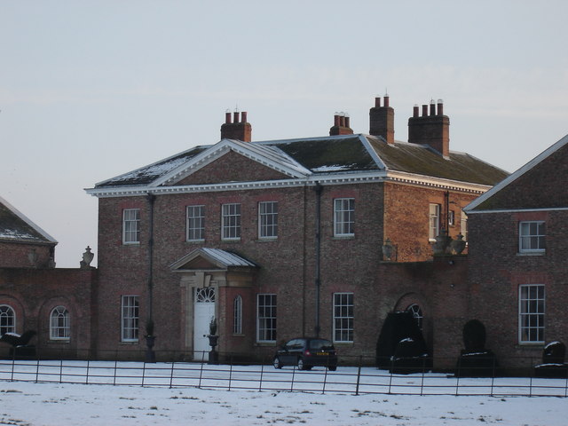
Houghton Hall, East Riding of Yorkshire
Houghton Hall, Sancton, near Market Weighton, is a Grade I listed Georgian country mansion in the East Riding of Yorkshire, England, set in an estate of...

Harthill Wapentake
Harthill was a wapentake of the historic East Riding of Yorkshire, England consisting of the central part of the county. Established in medieval times...
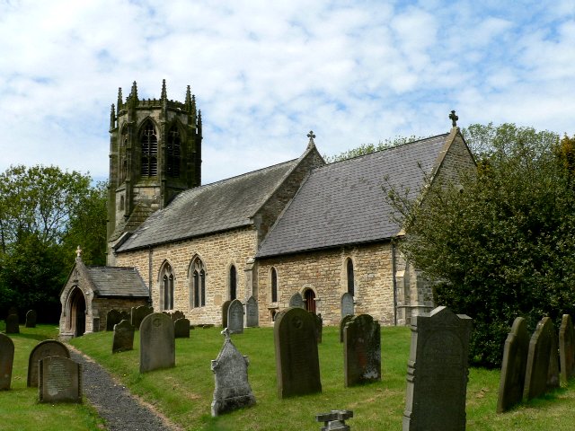
Sancton
For people with the surname, see Sancton (surname). Sancton is a village and civil parish in the East Riding of Yorkshire, England. It is situated approximately...
Nearby Amenities
Located within 500m of 53.838272,-0.65959357Have you been to Bracken Hill?
Leave your review of Bracken Hill below (or comments, questions and feedback).