South Park
Downs, Moorland in Yorkshire
England
South Park
South Park, Yorkshire is a charming and picturesque region located in the northern part of England. Known for its stunning landscapes and natural beauty, it comprises of the South Downs and Moorland areas.
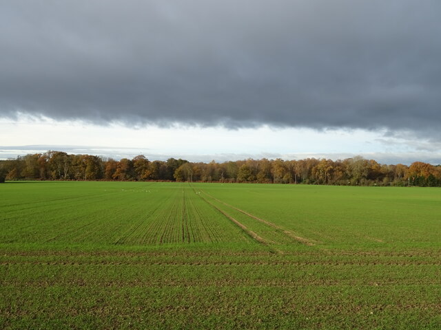
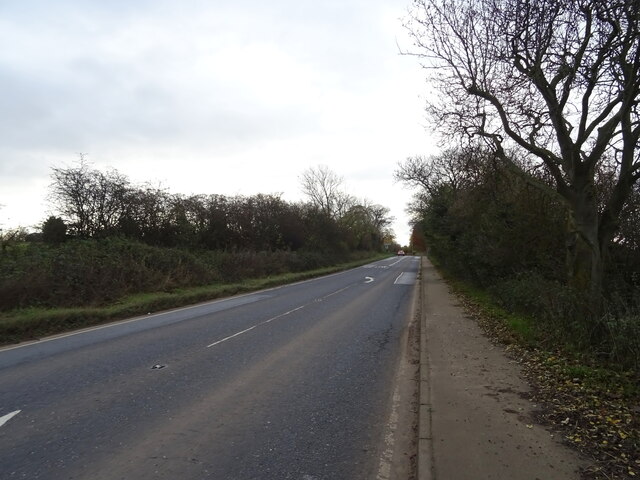
The South Downs region is characterized by rolling hills, lush green meadows, and breathtaking views. It offers a tranquil and serene environment, perfect for those seeking a peaceful getaway. The area is also home to several quaint villages and historic towns, each with its own unique charm and character. Visitors can explore the narrow streets, admire the traditional architecture, and sample local cuisine in the cozy pubs and restaurants.
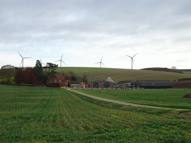
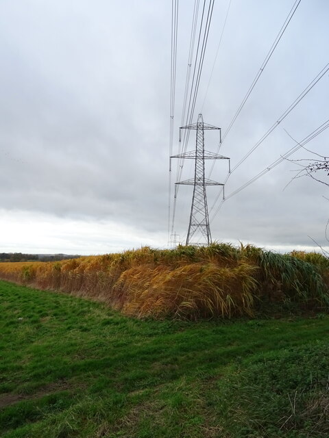
On the other hand, the Moorland area of South Park showcases a more rugged and wild terrain. Vast expanses of open heather-covered moors dominate the landscape, providing a haven for nature enthusiasts and outdoor adventurers. The moors are famous for their diverse wildlife, including rare bird species, and offer numerous walking and hiking trails for visitors to explore.
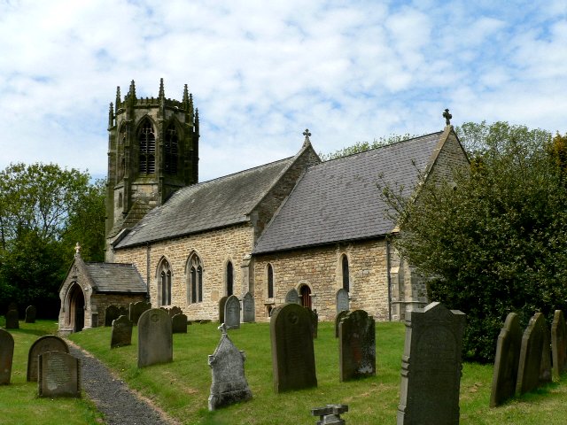
Throughout South Park, visitors can immerse themselves in the rich history and cultural heritage of the region. There are several historical landmarks and sites of interest, such as ancient castles, stately homes, and medieval churches. Additionally, the area hosts various events and festivals throughout the year, celebrating local traditions and customs.
South Park, Yorkshire, with its idyllic countryside, dramatic moorland, and rich history, is a destination that offers something for everyone. Whether you are seeking a peaceful retreat, outdoor adventures, or a glimpse into the past, this region is sure to captivate and enchant all who visit.
If you have any feedback on the listing, please let us know in the comments section below.
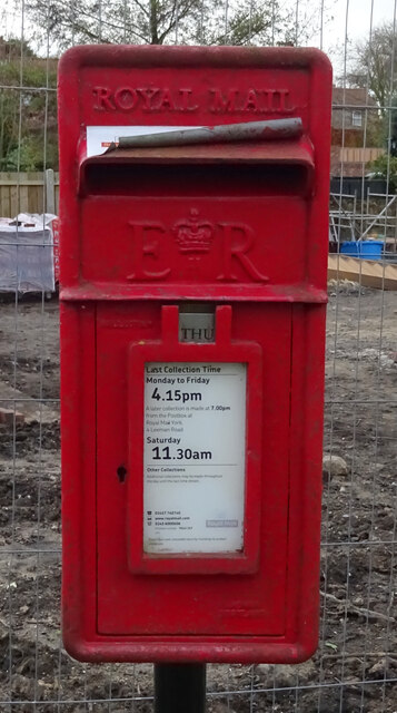
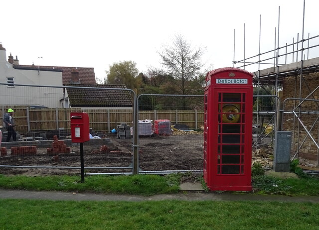
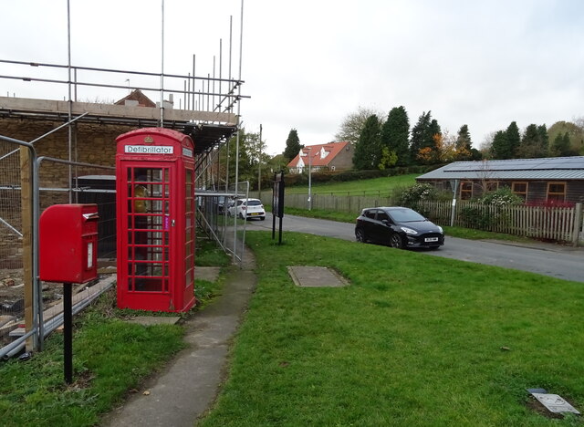
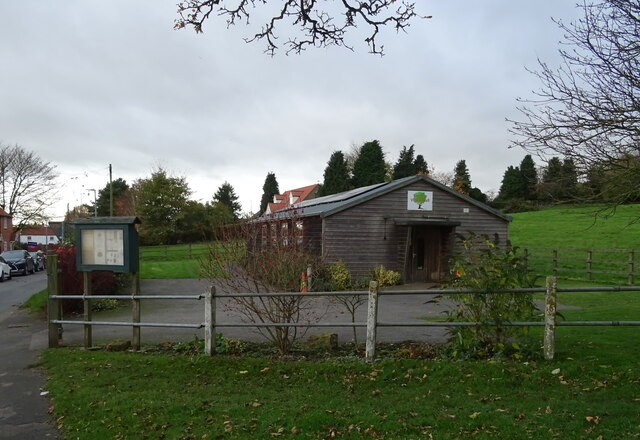
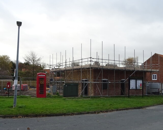
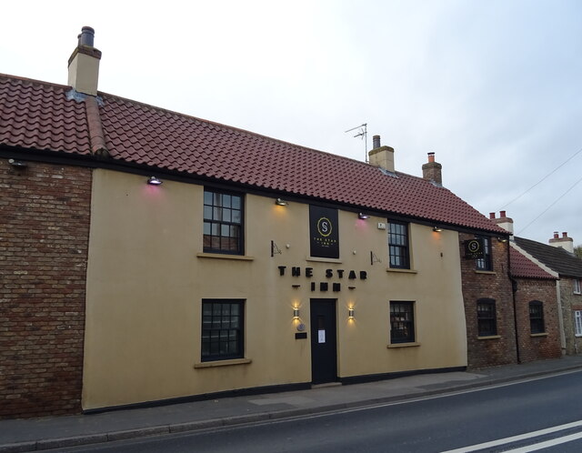
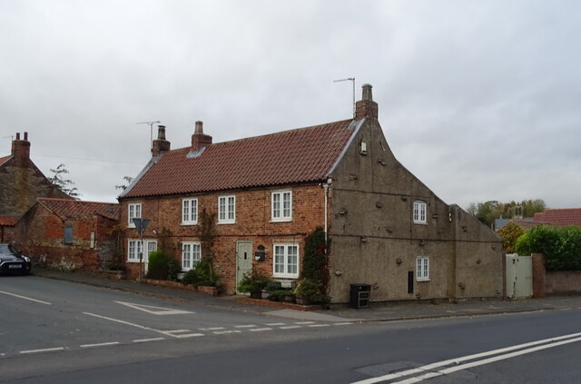
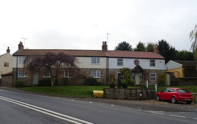
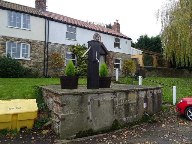
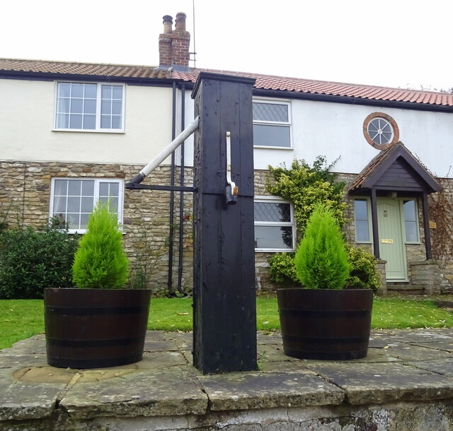
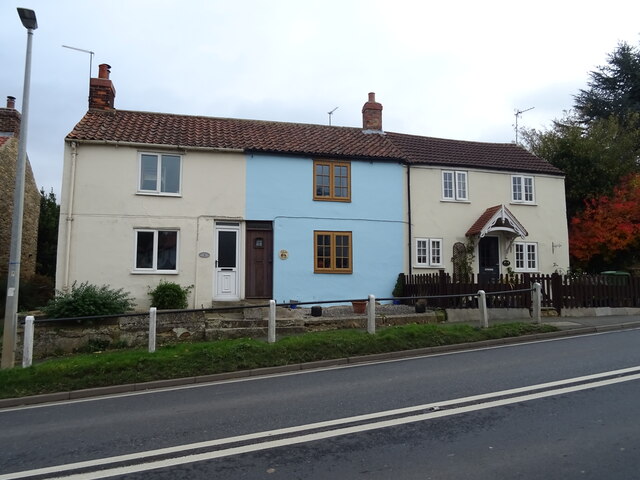
South Park Images
Images are sourced within 2km of 53.838112/-0.65254701 or Grid Reference SE8838. Thanks to Geograph Open Source API. All images are credited.
South Park is located at Grid Ref: SE8838 (Lat: 53.838112, Lng: -0.65254701)
Division: East Riding
Unitary Authority: East Riding of Yorkshire
Police Authority: Humberside
What 3 Words
///evoke.digs.price. Near Market Weighton, East Yorkshire
Related Wikis
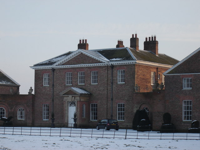
Houghton Hall, East Riding of Yorkshire
Houghton Hall, Sancton, near Market Weighton, is a Grade I listed Georgian country mansion in the East Riding of Yorkshire, England, set in an estate of...
Houghton, East Riding of Yorkshire
Houghton is a hamlet in the East Riding of Yorkshire, England. It is situated approximately 2 miles (3.2 km) south of the market town of Market Weighton...

Harthill Wapentake
Harthill was a wapentake of the historic East Riding of Yorkshire, England consisting of the central part of the county. Established in medieval times...
Sancton
For people with the surname, see Sancton (surname). Sancton is a village and civil parish in the East Riding of Yorkshire, England. It is situated approximately...
Nearby Amenities
Located within 500m of 53.838112,-0.65254701Have you been to South Park?
Leave your review of South Park below (or comments, questions and feedback).