Ugglebarnby Moor
Downs, Moorland in Yorkshire Scarborough
England
Ugglebarnby Moor
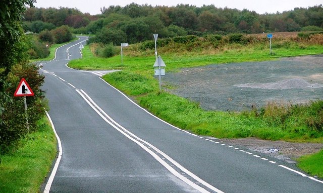
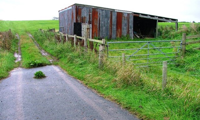
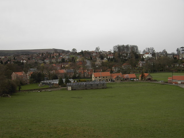
Ugglebarnby Moor is a picturesque area located in the North York Moors National Park, in the county of Yorkshire, England. Situated in the eastern part of the park, Ugglebarnby Moor is known for its rolling hills, open moorland, and stunning panoramic views.
Covering an area of approximately 10 square kilometers, the moorland is characterized by its rich heather vegetation, which blooms in a vibrant purple hue during the summer months. The landscape is dotted with scattered trees and small patches of woodland, providing a beautiful contrast against the open expanse of the moor.
Ugglebarnby Moor is home to a variety of wildlife, including several species of birds such as curlews, lapwings, and red grouse. The area is also known for its diverse plant life, with rare species of orchids and carnivorous plants being found here.
The moorland offers numerous walking trails and bridleways, making it a popular destination for outdoor enthusiasts. Visitors can explore the area on foot or horseback, taking in the breathtaking views and immersing themselves in the tranquility of the surroundings.
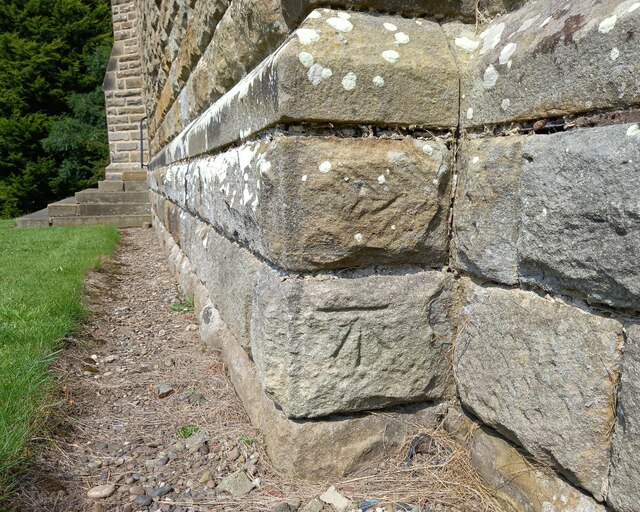
In addition to its natural beauty, Ugglebarnby Moor has historical significance, with ancient remains and archaeological sites scattered throughout the area. These include Bronze Age burial mounds and the remains of a medieval village, providing a glimpse into the region's rich history.
Overall, Ugglebarnby Moor offers a unique blend of natural beauty, wildlife, and historical significance, making it a must-visit destination for nature lovers and history enthusiasts alike.
If you have any feedback on the listing, please let us know in the comments section below.
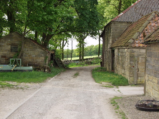
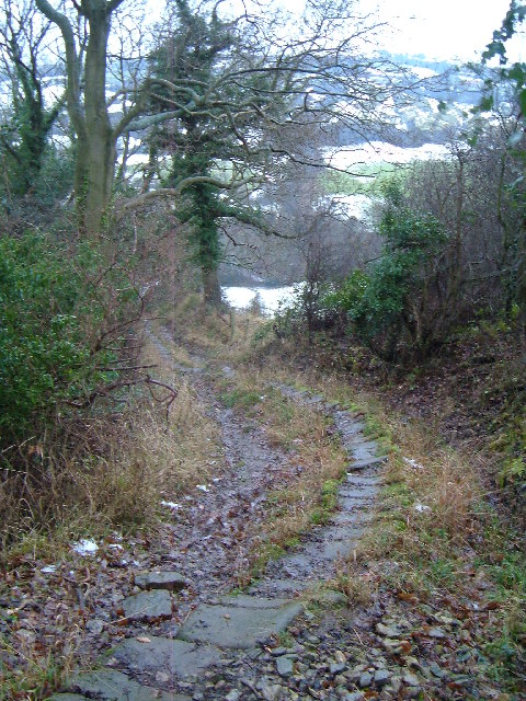
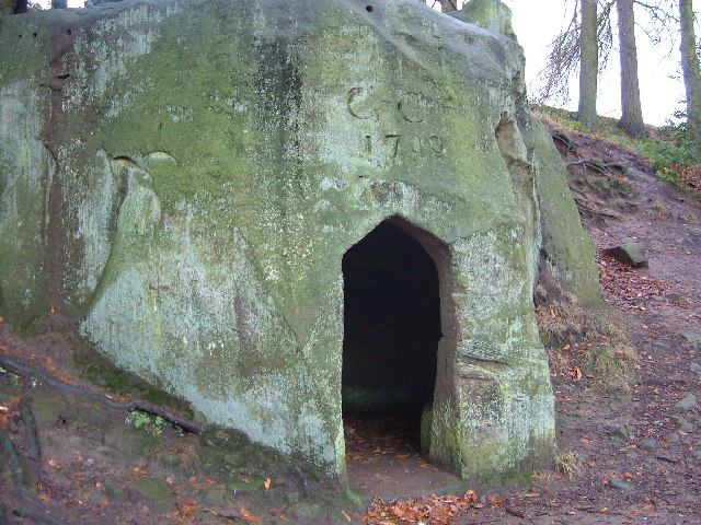
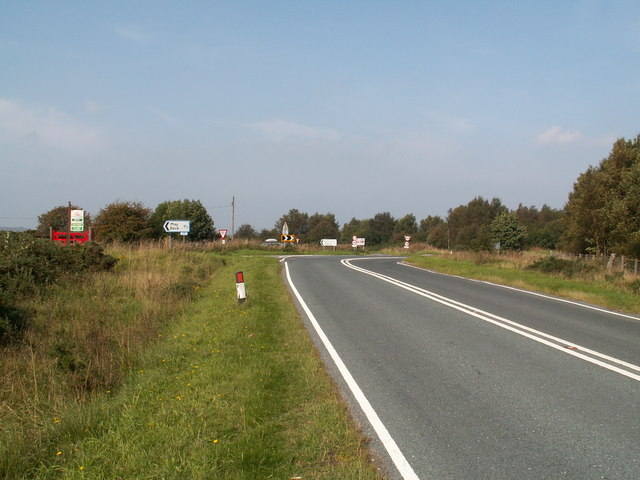
Ugglebarnby Moor Images
Images are sourced within 2km of 54.436301/-0.63217321 or Grid Reference NZ8805. Thanks to Geograph Open Source API. All images are credited.


Ugglebarnby Moor is located at Grid Ref: NZ8805 (Lat: 54.436301, Lng: -0.63217321)
Division: North Riding
Administrative County: North Yorkshire
District: Scarborough
Police Authority: North Yorkshire
What 3 Words
///cove.amending.launched. Near Sleights, North Yorkshire
Nearby Locations
Related Wikis

Woodsmith Mine
Woodsmith Mine is a deep potash and polyhalite mine located near to the hamlet of Sneatonthorpe, Whitby in North Yorkshire, England. The venture was started...

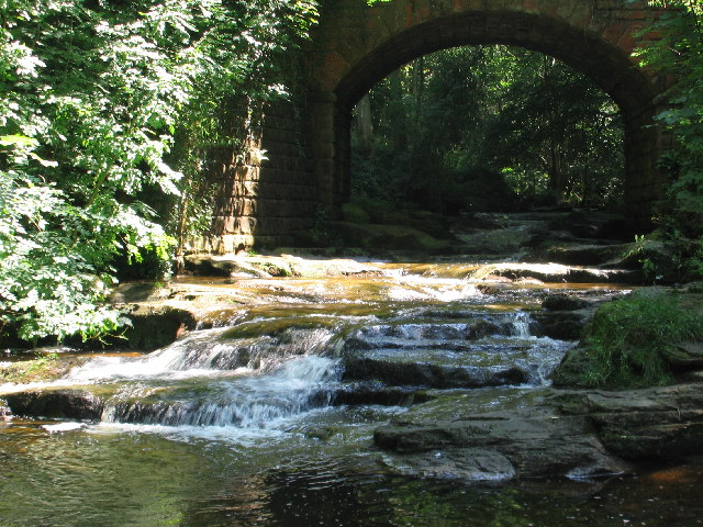
Littlebeck, North Yorkshire
Littlebeck is a hamlet in the North York Moors National Park, near Whitby, in North Yorkshire, England. It stands on the Little Beck, a minor tributary...
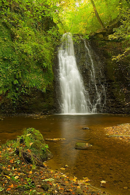
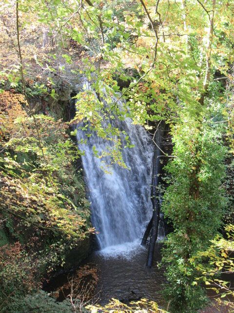
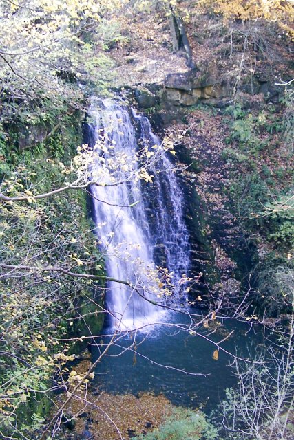
Falling Foss
Falling Foss is a waterfall that lies in the north-east section of The North York Moors National Park and is a popular spot for walking. It is 5 miles...
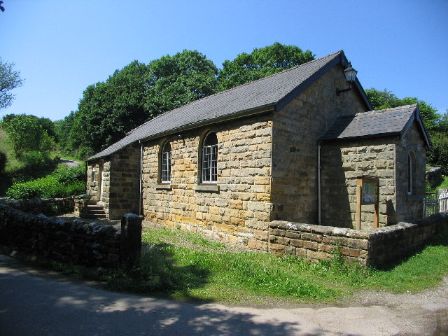
Eskdaleside cum Ugglebarnby
Eskdaleside cum Ugglebarnby is a civil parish in the Scarborough district of North Yorkshire, England, comprising the two villages of Sleights and Ugglebarnby...
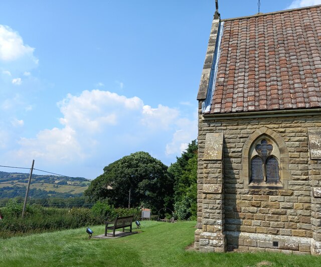
Sneaton
Sneaton is a village and civil parish in the Scarborough district of North Yorkshire, England. There is a church which is dedicated to St Hilda. According...
Sleights
Sleights is a village in North Yorkshire, England. Located in the Esk Valley in the postal region of Whitby, the village is part of the civil parish of...

Ruswarp
Ruswarp village lies within the Scarborough borough of North Yorkshire, England. It is around 1.8 miles (2.9 km) from Whitby, at the junction of the B1410...

Whitby Rural District
Whitby Rural District was a rural district governed from Whitby for its surrounding area in the North Riding of Yorkshire administrative county from 1894...
Nearby Amenities
Located within 500m of 54.436301,-0.63217321Have you been to Ugglebarnby Moor?
Leave your review of Ugglebarnby Moor below (or comments, questions and feedback).