Londesborough Wold
Downs, Moorland in Yorkshire
England
Londesborough Wold
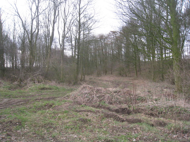
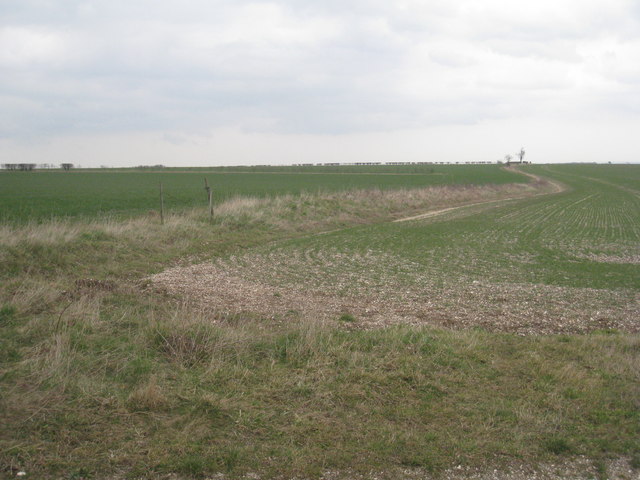
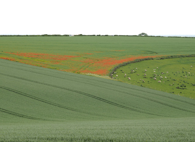
Londesborough Wold is a picturesque area located in the East Riding of Yorkshire, England. Stretching across an expansive landscape, it is characterized by its diverse topography, featuring a combination of downs and moorland. This natural beauty spot is situated near the village of Londesborough, approximately 12 miles northwest of the city of Hull.
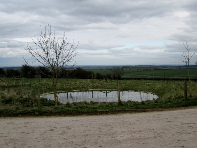
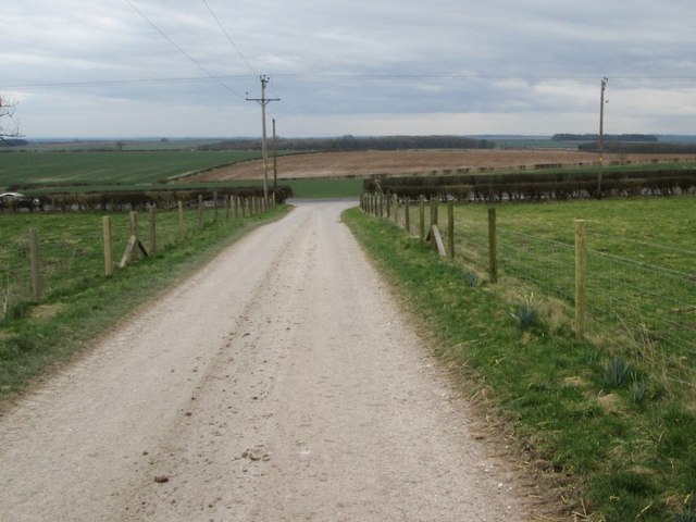
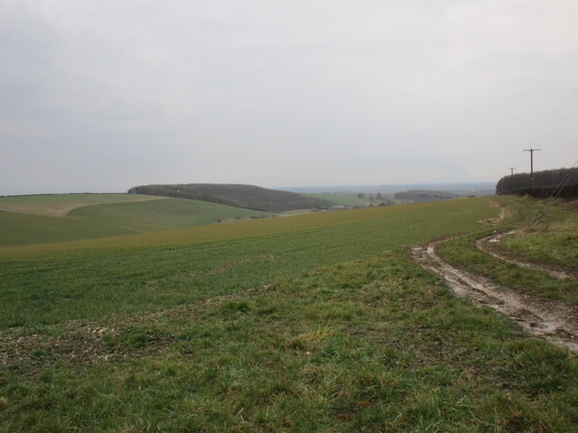
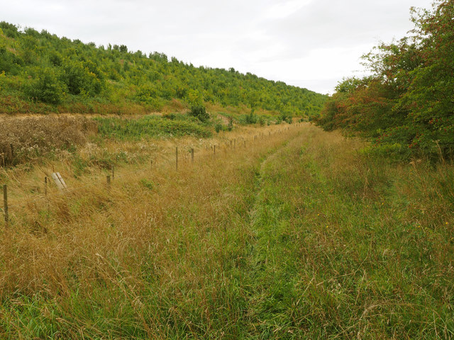
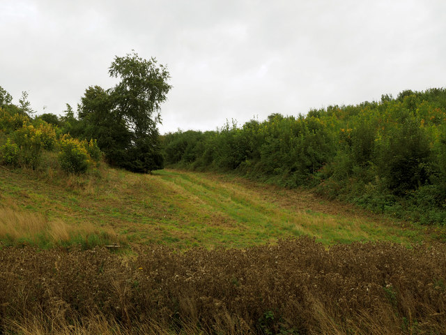
The wold offers stunning panoramic views, with rolling hills and vast open spaces, providing a haven for nature enthusiasts and outdoor adventurers alike. The region is renowned for its rich biodiversity, featuring an array of flora and fauna that thrive in this unique habitat.
Londesborough Wold is home to a variety of wildlife, including several species of birds, such as skylarks, lapwings, and yellowhammers, which can be observed soaring through the skies or nesting on the ground. The area also supports a diverse range of plants, including heather, gorse, and wildflowers, which add vibrant colors to the landscape.
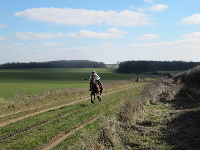
Visitors to Londesborough Wold can enjoy exploring the numerous walking trails that crisscross the area, providing access to its natural wonders. The wold is also popular among cyclists, who can enjoy the challenging terrain and breathtaking vistas. Additionally, the region offers opportunities for horseback riding, allowing equestrians to immerse themselves in the tranquil surroundings.
Londesborough Wold truly offers a slice of Yorkshire's natural beauty, with its combination of downs, moorland, and stunning scenery. It is a must-visit destination for those seeking to escape the hustle and bustle of city life and reconnect with nature in a peaceful and idyllic setting.
If you have any feedback on the listing, please let us know in the comments section below.
Londesborough Wold Images
Images are sourced within 2km of 53.911797/-0.64903448 or Grid Reference SE8847. Thanks to Geograph Open Source API. All images are credited.


Londesborough Wold is located at Grid Ref: SE8847 (Lat: 53.911797, Lng: -0.64903448)
Division: East Riding
Unitary Authority: East Riding of Yorkshire
Police Authority: Humberside
What 3 Words
///puts.pillows.backhand. Near Londesborough, East Yorkshire
Nearby Locations
Related Wikis
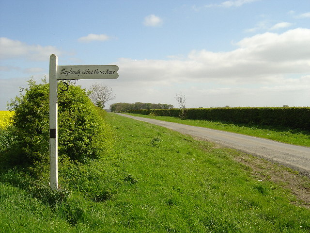
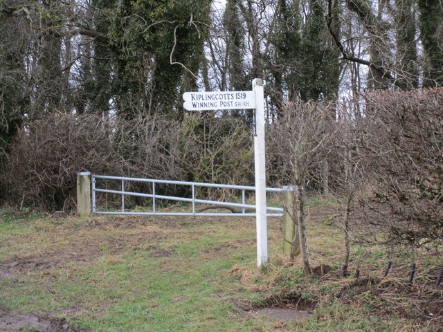
Kiplingcotes Derby
Kiplingcotes Derby (also spelt Kipling Cotes), run at Kiplingcotes in the East Riding of Yorkshire, is widely accepted to be the oldest annual horse race...

Middlethorpe, East Riding of Yorkshire
Middlethorpe is a hamlet in the East Riding of Yorkshire, England. It is situated approximately 2.5 miles (4 km) north-east of the market town of Market...

Londesborough Hall
Londesborough Hall is a country house in the village of Londesborough in the East Riding of Yorkshire, England, close to the towns of Market Weighton and...
Londesborough
Londesborough is a village and civil parish in the East Riding of Yorkshire, England. It is situated approximately 2.5 miles (4 km) north of the market...
Nearby Amenities
Located within 500m of 53.911797,-0.64903448Have you been to Londesborough Wold?
Leave your review of Londesborough Wold below (or comments, questions and feedback).