Wold Dale
Valley in Yorkshire
England
Wold Dale
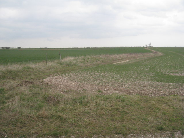
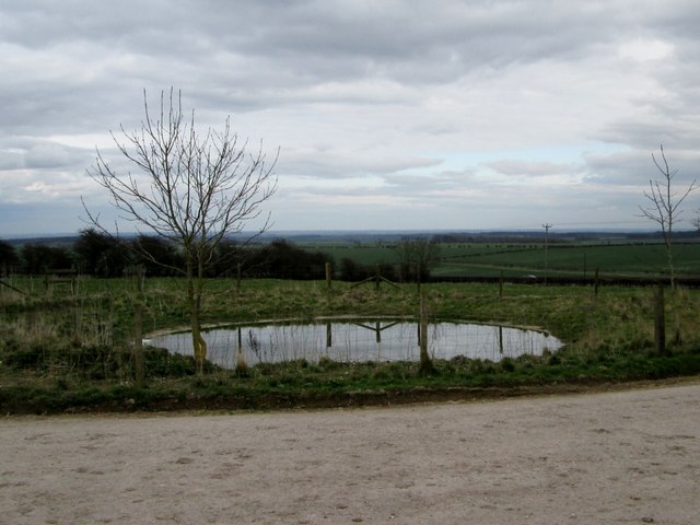
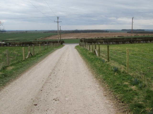
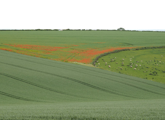
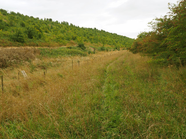
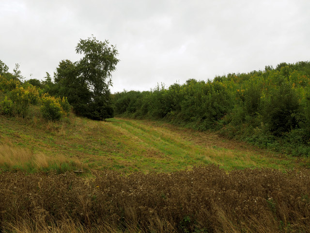
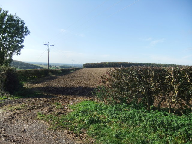
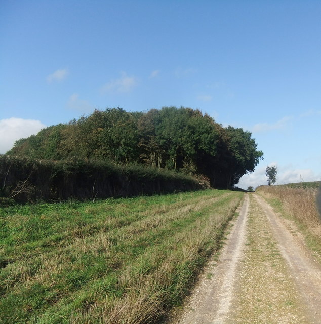
Wold Dale is a picturesque valley located in the county of Yorkshire, England. Situated in the eastern part of the Yorkshire Wolds, this idyllic valley is renowned for its stunning natural landscapes and rich cultural heritage. Wold Dale is surrounded by rolling hills, lush green meadows, and charming woodlands, creating a truly tranquil and serene atmosphere.
The valley is home to a diverse range of flora and fauna, making it a haven for nature lovers and enthusiasts. Wildflowers such as bluebells and primroses blanket the valley floor during springtime, adding vibrant colors to the already breathtaking scenery. The area is also inhabited by various bird species, including skylarks and yellowhammers, which can be observed and appreciated by avid birdwatchers.
In addition to its natural beauty, Wold Dale boasts a number of historical and cultural attractions. The valley houses several ancient archaeological sites, including Iron Age forts and Roman remains, providing a glimpse into the region's rich past. Furthermore, visitors can explore charming villages and hamlets scattered throughout the dale, each with its own unique character and charm.
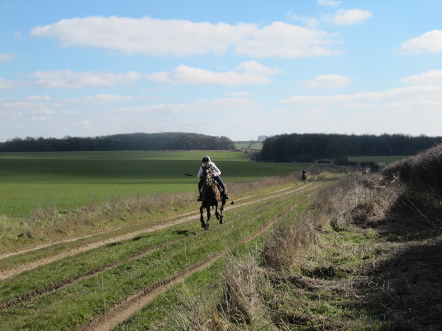
Outdoor activities are plentiful in Wold Dale, with numerous walking and hiking trails crisscrossing the valley. These trails offer stunning panoramic views of the surrounding countryside and provide ample opportunities for exploration and adventure.
Overall, Wold Dale, Yorkshire, is a hidden gem that offers a perfect blend of natural beauty, historical significance, and outdoor recreational opportunities. Whether it's for a peaceful stroll, birdwatching, or delving into the area's fascinating past, Wold Dale is a destination that promises an unforgettable experience for all who visit.
If you have any feedback on the listing, please let us know in the comments section below.
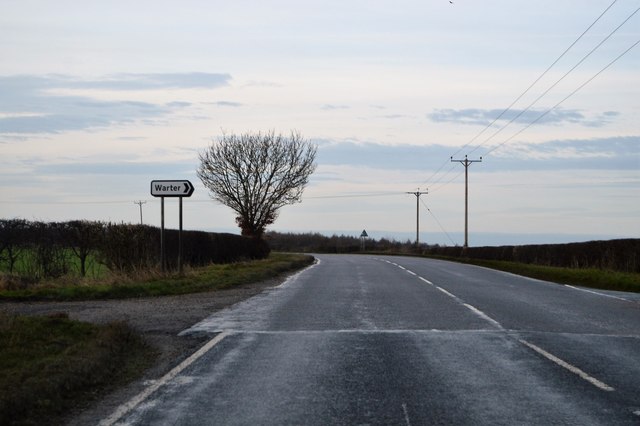
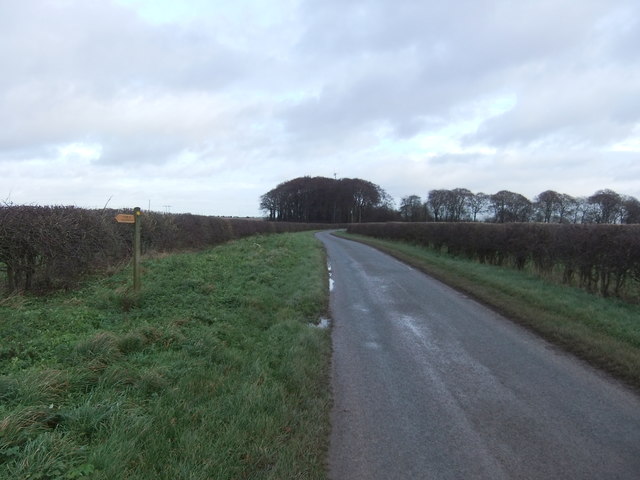
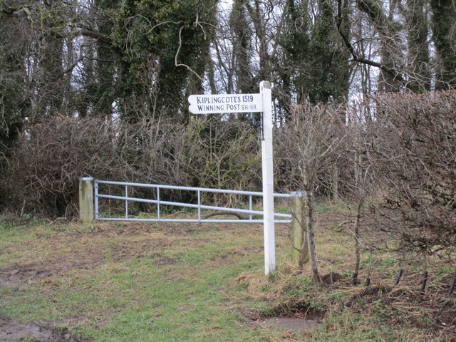
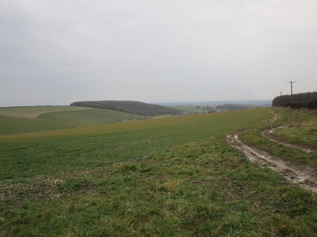
Wold Dale Images
Images are sourced within 2km of 53.912983/-0.65621273 or Grid Reference SE8847. Thanks to Geograph Open Source API. All images are credited.


Wold Dale is located at Grid Ref: SE8847 (Lat: 53.912983, Lng: -0.65621273)
Division: East Riding
Unitary Authority: East Riding of Yorkshire
Police Authority: Humberside
What 3 Words
///geologist.hers.spoils. Near Londesborough, East Yorkshire
Nearby Locations
Related Wikis
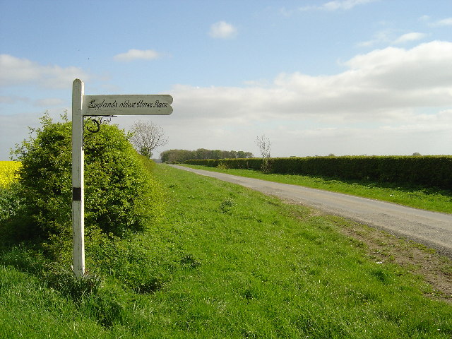
Kiplingcotes Derby
Kiplingcotes Derby (also spelt Kipling Cotes), run at Kiplingcotes in the East Riding of Yorkshire, is widely accepted to be the oldest annual horse race...

Middlethorpe, East Riding of Yorkshire
Middlethorpe is a hamlet in the East Riding of Yorkshire, England. It is situated approximately 2.5 miles (4 km) north-east of the market town of Market...

Londesborough Hall
Londesborough Hall is a country house in the village of Londesborough in the East Riding of Yorkshire, England, close to the towns of Market Weighton and...
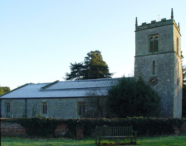
Londesborough
Londesborough is a village and civil parish in the East Riding of Yorkshire, England. It is situated approximately 2.5 miles (4 km) north of the market...
Nearby Amenities
Located within 500m of 53.912983,-0.65621273Have you been to Wold Dale?
Leave your review of Wold Dale below (or comments, questions and feedback).