Hammers Dale
Valley in Yorkshire
England
Hammers Dale
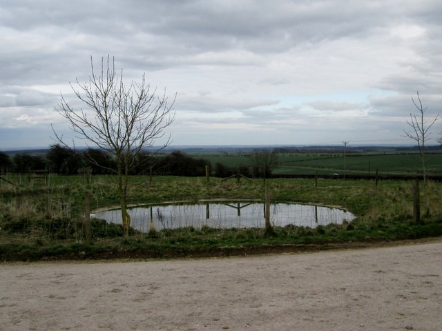
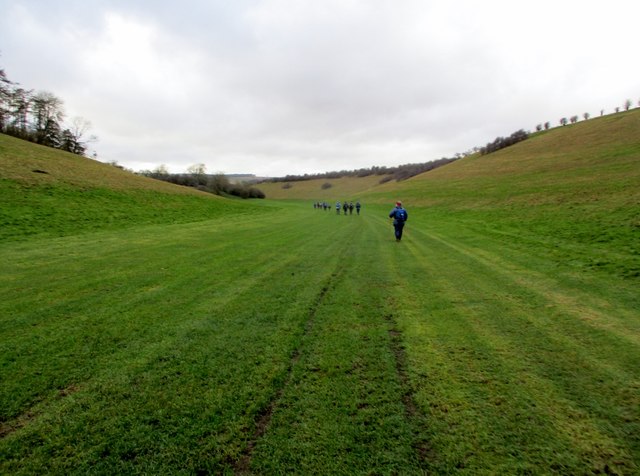
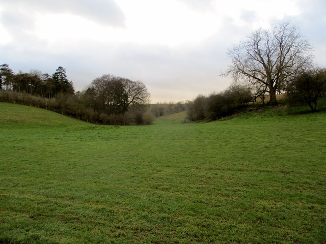
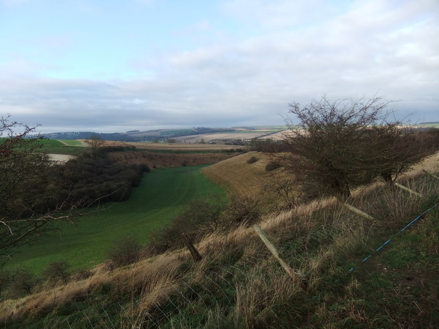
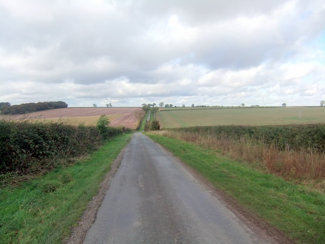
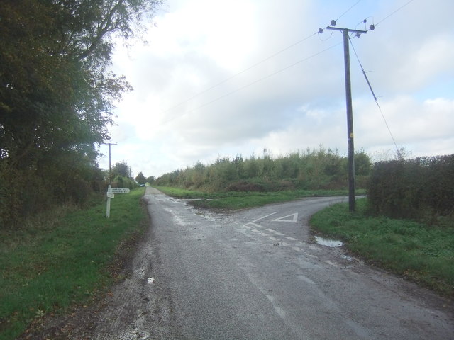
Hammers Dale is a picturesque valley located in the Yorkshire Dales National Park, North Yorkshire, England. Nestled amidst rolling hills and verdant meadows, this small rural community offers a tranquil escape from the bustling city life. The valley is named after the Hammer Beck, a charming little river that flows through its heart, adding to the idyllic charm of the area.
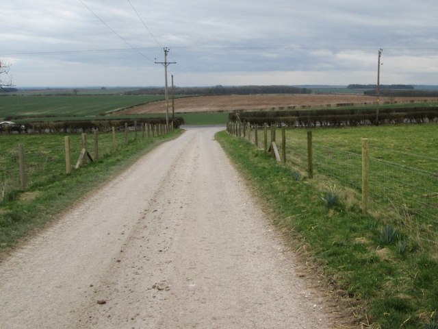
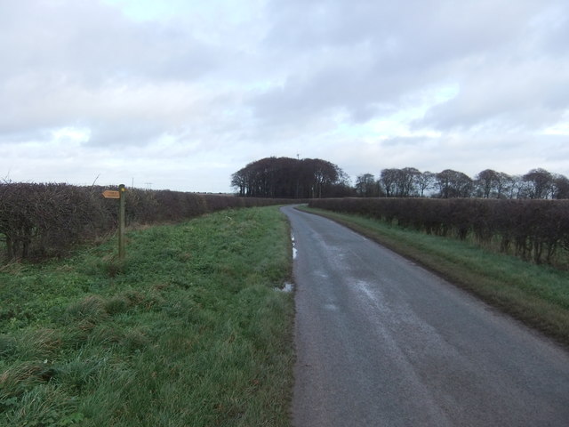
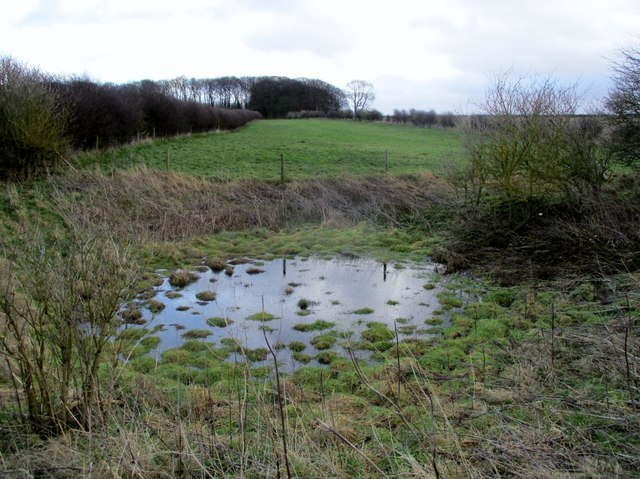
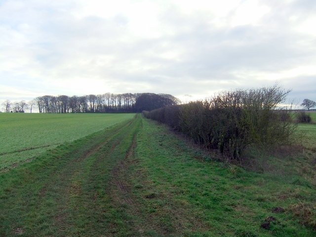
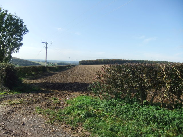
The landscape of Hammers Dale is characterized by its lush greenery, dotted with traditional stone-built houses and farmsteads. The valley's rich agricultural heritage is evident in the fields of grazing sheep and cattle that can be seen dotting the countryside. The area is renowned for its scenic beauty, with breathtaking views of the surrounding hills and valleys that attract nature lovers and hikers from far and wide.
The village of Hammers Dale itself is small but welcoming, with a close-knit community that prides itself on its warmth and hospitality. The local residents are predominantly involved in farming and agriculture, with some running small businesses catering to tourists who visit the area.
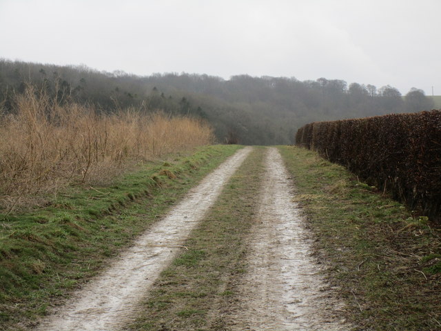
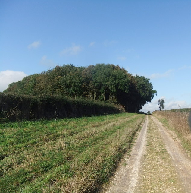
Visitors to Hammers Dale can enjoy a range of outdoor activities, including hiking, cycling, and birdwatching. The village is also a popular starting point for exploring the wider Yorkshire Dales National Park, with its extensive network of walking trails and charming villages.
In summary, Hammers Dale is a picturesque valley in Yorkshire, offering a peaceful and scenic retreat for those seeking a natural escape. With its stunning landscapes, friendly community, and range of outdoor activities, it is a hidden gem waiting to be discovered.
If you have any feedback on the listing, please let us know in the comments section below.
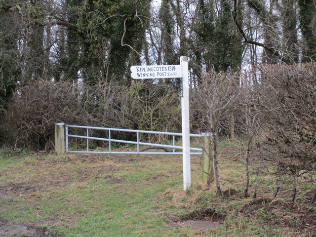
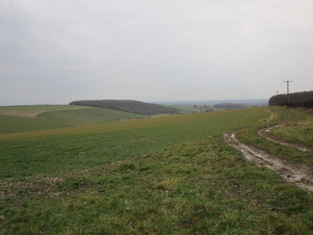
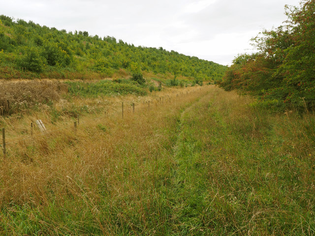
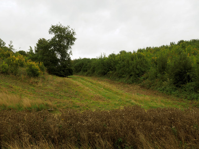
Hammers Dale Images
Images are sourced within 2km of 53.91957/-0.65924462 or Grid Reference SE8847. Thanks to Geograph Open Source API. All images are credited.
Hammers Dale is located at Grid Ref: SE8847 (Lat: 53.91957, Lng: -0.65924462)
Division: East Riding
Unitary Authority: East Riding of Yorkshire
Police Authority: Humberside
What 3 Words
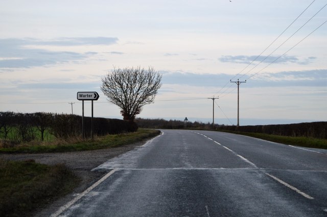
///refer.wanted.ports. Near Londesborough, East Yorkshire
Nearby Locations
Related Wikis
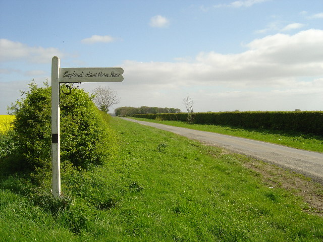
Kiplingcotes Derby
Kiplingcotes Derby (also spelt Kipling Cotes), run at Kiplingcotes in the East Riding of Yorkshire, is widely accepted to be the oldest annual horse race...

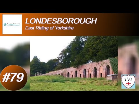
Londesborough Hall
Londesborough Hall is a country house in the village of Londesborough in the East Riding of Yorkshire, England, close to the towns of Market Weighton and...

Middlethorpe, East Riding of Yorkshire
Middlethorpe is a hamlet in the East Riding of Yorkshire, England. It is situated approximately 2.5 miles (4 km) north-east of the market town of Market...

Bigger Trees Near Warter
Bigger Trees Near Warter or ou Peinture en Plein Air pour l'age Post-Photographique is a large landscape painting by British artist David Hockney. Measuring...
Related Videos

Wolds Way - Londesborough Park and Nunburnholme
backpacking #hiking #YorkshireWoldsWay.
LONDESBOROUGH: East Riding of Yorkshire Parish #79 of 172
EAST RISING OF YORKSHIRE PARISH #79: LONDESBOROUGH Welcome to Londesborough, a village which sits on the East ...

Londesborough Hall - Johny Kramer - Acoustic Guitar Player
I was on a bank holiday day out with my travel guitar and couldn't resist playing an arrangement one of my favourite laid back ...

WARTER: East Riding of Yorkshire Parish #85 of 172
EAST RIDING OF YORKSHIRE PARISH #85: WARTER Our last venture into the East Yorkshire Wolds for a while sees us take on ...
Nearby Amenities
Located within 500m of 53.91957,-0.65924462Have you been to Hammers Dale?
Leave your review of Hammers Dale below (or comments, questions and feedback).