Bug Dale
Valley in Yorkshire Ryedale
England
Bug Dale
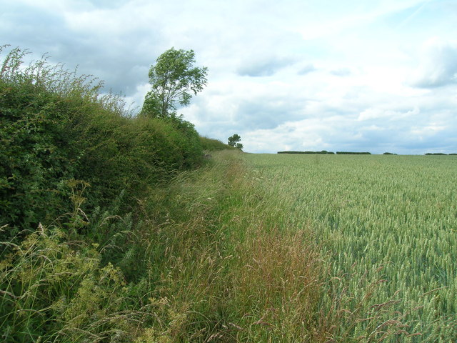
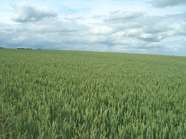
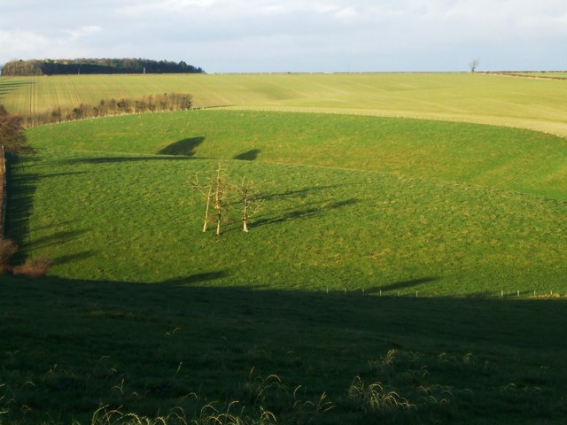
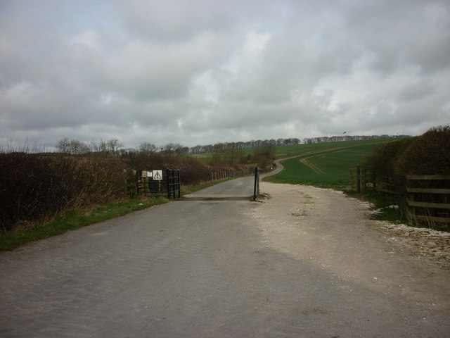
Bug Dale is a picturesque valley nestled in the heart of Yorkshire, England. It is located just a few miles south of the market town of Richmond, offering visitors a tranquil escape from the hustle and bustle of urban life. The dale is known for its stunning natural beauty, with rolling hills, verdant meadows, and a meandering river that flows through its center.
The name "Bug Dale" is derived from the Old Norse word "bugr," meaning a bend or curve, which perfectly describes the valley's winding shape. It is believed to have been formed during the last Ice Age, as glaciers carved out the landscape and left behind a fertile valley.
Bug Dale is a haven for outdoor enthusiasts and nature lovers. The valley is crisscrossed by a network of footpaths and bridleways, making it the perfect destination for walkers, hikers, and cyclists. The surrounding hills offer breathtaking views and are popular for hillwalking and birdwatching.
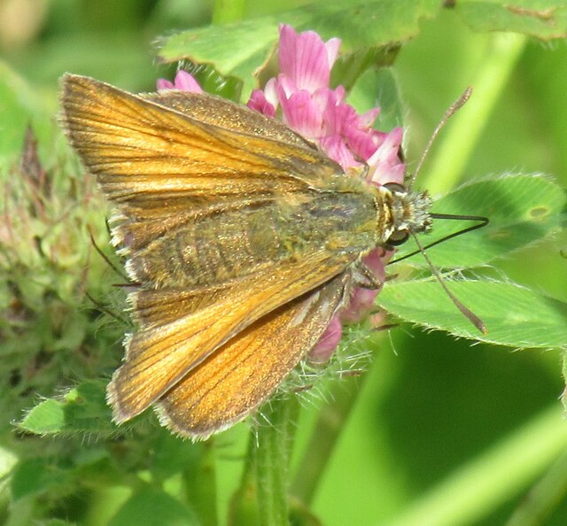
The dale is also home to a diverse range of flora and fauna. Wildflowers carpet the meadows in spring and summer, attracting an array of butterflies and bees. The river supports a variety of fish, and otters have been spotted in its pristine waters. Bird species such as buzzards, kingfishers, and herons can often be seen soaring above or perched along the riverbanks.
Bug Dale exudes a sense of peace and tranquility, making it an idyllic spot for those seeking a rural retreat. Its unspoiled beauty and natural charm make it a gem in Yorkshire's countryside.
If you have any feedback on the listing, please let us know in the comments section below.
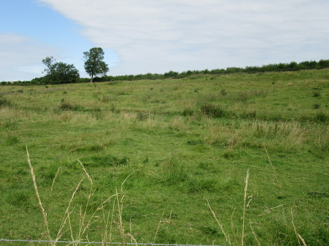
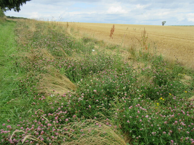
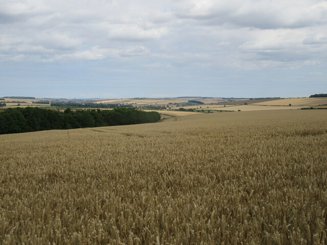
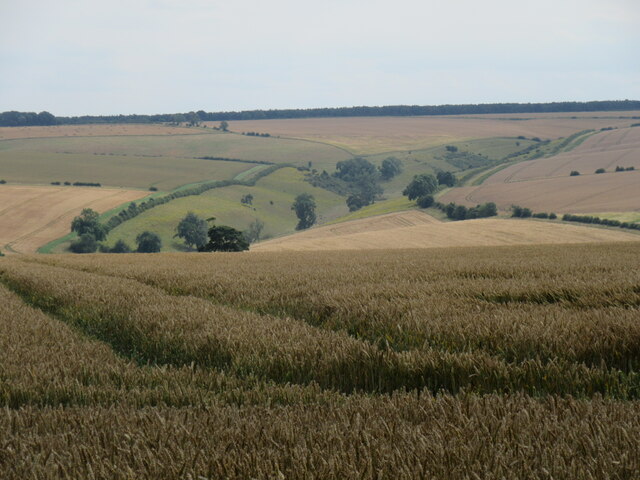
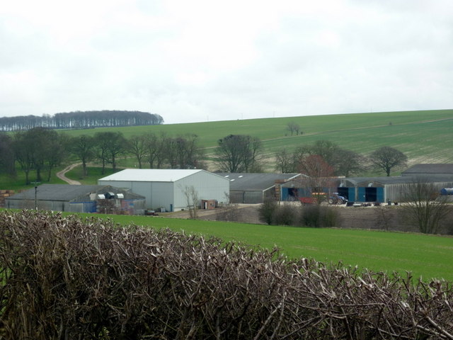
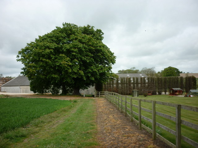
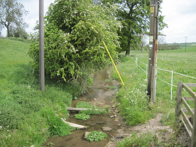
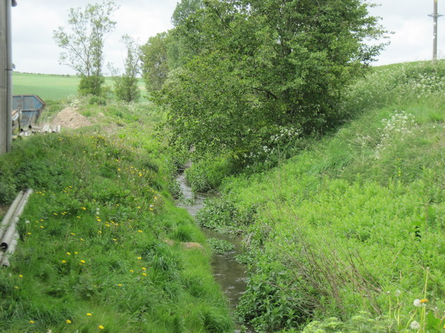
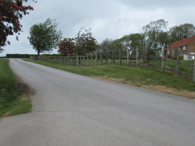
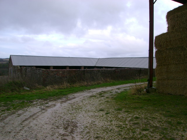
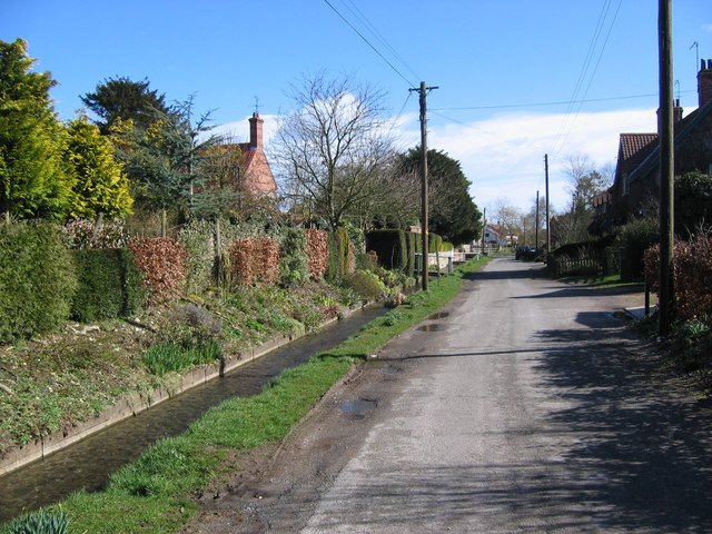
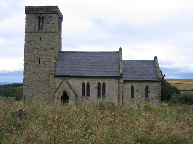
Bug Dale Images
Images are sourced within 2km of 54.10105/-0.6524347 or Grid Reference SE8868. Thanks to Geograph Open Source API. All images are credited.
Bug Dale is located at Grid Ref: SE8868 (Lat: 54.10105, Lng: -0.6524347)
Division: East Riding
Administrative County: North Yorkshire
District: Ryedale
Police Authority: North Yorkshire
What 3 Words
///edits.ironclad.topics. Near Rillington, North Yorkshire
Nearby Locations
Related Wikis

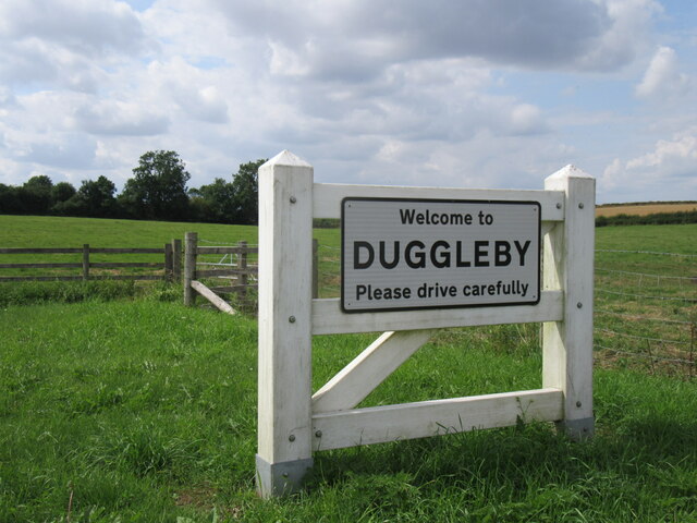
Duggleby
Duggleby is a hamlet in the civil parish of Kirby Grindalythe, in North Yorkshire, England. It was historically part of the East Riding of Yorkshire until...

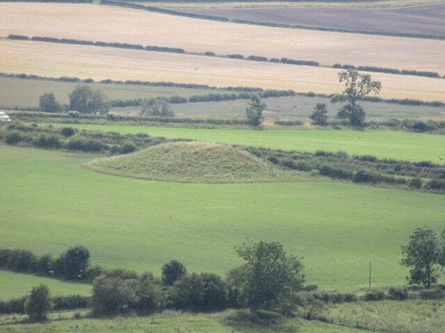
Duggleby Howe
Duggleby Howe (also known as Howe Hill, Duggleby) is one of the largest round barrows in Britain, located on the southern side of the Great Wold Valley...
Kirby Grindalythe
Kirby Grindalythe is a village and civil parish in North Yorkshire, England. It is situated about 8 miles (13 km) south-east of Malton. The village lies...
Wharram-le-Street
Wharram-le-Street is a village and former civil parish, now in the parish of Wharram, in North Yorkshire, England. Until the 1974 local government reorganisation...
Nearby Amenities
Located within 500m of 54.10105,-0.6524347Have you been to Bug Dale?
Leave your review of Bug Dale below (or comments, questions and feedback).