Haw Dale
Valley in Yorkshire Ryedale
England
Haw Dale
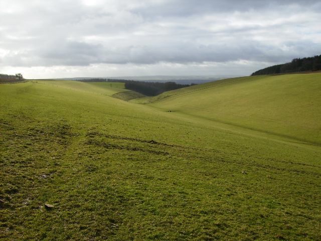
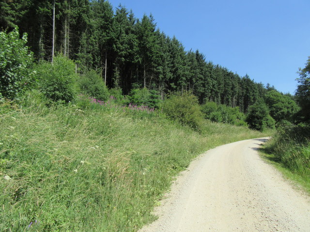
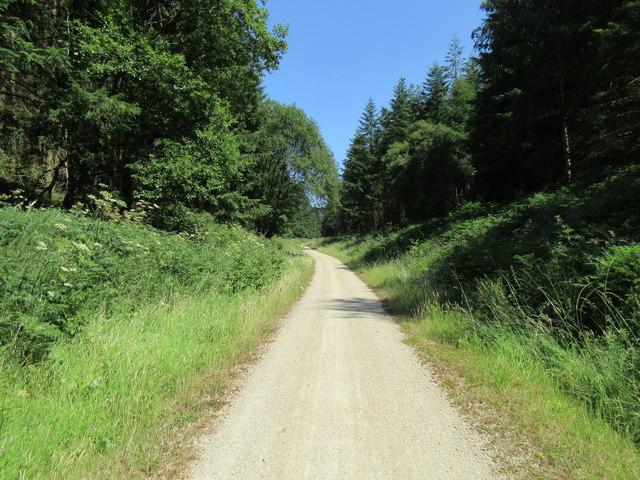
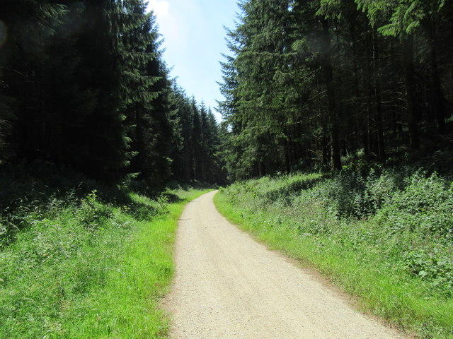
Haw Dale is a picturesque valley located in the county of Yorkshire, England. The valley is nestled between rolling hills and offers breathtaking views of the surrounding countryside. It is known for its natural beauty and is a popular destination for nature lovers and hikers.
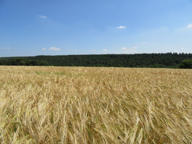
The valley is home to a diverse range of flora and fauna, with its lush greenery and meandering streams providing a habitat for various species of plants and animals. Visitors can expect to see wildflowers in bloom during the spring and summer months, as well as a variety of birds and small mammals throughout the year.
Haw Dale is also steeped in history, with evidence of human habitation dating back thousands of years. There are several ancient archaeological sites in the area, including burial mounds and stone circles, which offer a glimpse into the valley's rich past.
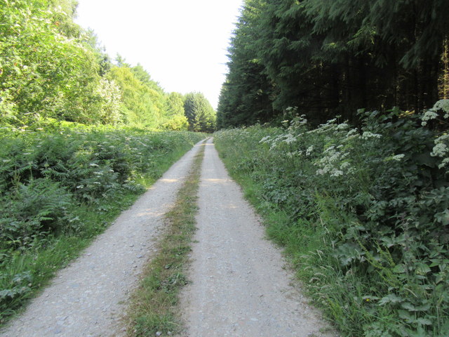
For those seeking outdoor activities, Haw Dale offers numerous hiking trails that cater to all skill levels. The valley is crisscrossed with footpaths, allowing visitors to explore its scenic beauty at their own pace. There are also opportunities for fishing in the streams and rivers that run through the valley, as well as camping and picnicking in designated areas.
Overall, Haw Dale is a tranquil and idyllic destination, providing a perfect escape from the hustle and bustle of city life. Its natural beauty, rich history, and recreational opportunities make it a must-visit location for anyone looking to immerse themselves in the beauty of the Yorkshire countryside.
If you have any feedback on the listing, please let us know in the comments section below.
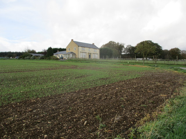
Haw Dale Images
Images are sourced within 2km of 54.266403/-0.64816832 or Grid Reference SE8886. Thanks to Geograph Open Source API. All images are credited.


Haw Dale is located at Grid Ref: SE8886 (Lat: 54.266403, Lng: -0.64816832)
Division: North Riding
Administrative County: North Yorkshire
District: Ryedale
Police Authority: North Yorkshire
What 3 Words
///turkey.withdraws.refusals. Near Thornton Dale, North Yorkshire
Nearby Locations
Related Wikis

Dalby Forest
Dalby Forest is a forest located on the southern slopes of the North York Moors National Park in North Yorkshire, England. It is maintained by Forestry...

14–18 NOW
14–18 NOW was the UK's arts programme for the First World War centenary. Working with arts and heritage partners all across the UK, the programme commissioned...

Ebberston Hall
Ebberston Hall is a Grade II* listed country house in Ebberston, North Yorkshire, England. It was constructed during 18th century for William Thompson...

Marske Hall, Richmondshire
Marske Hall is a Grade II* listed country house in Marske, North Yorkshire, England. == History == Markse Hall was bought in 1596 by the then Archbishop...
Nearby Amenities
Located within 500m of 54.266403,-0.64816832Have you been to Haw Dale?
Leave your review of Haw Dale below (or comments, questions and feedback).