Dugdale Fields

Downs, Moorland in Yorkshire

England

Dugdale Fields

Shiptondale Farm from Warter Road Daffodils were blooming in profusion along the many of the wolds roadsides, even in late April.
Shiptondale Farm from Warter Road Credit: Paul Harrop

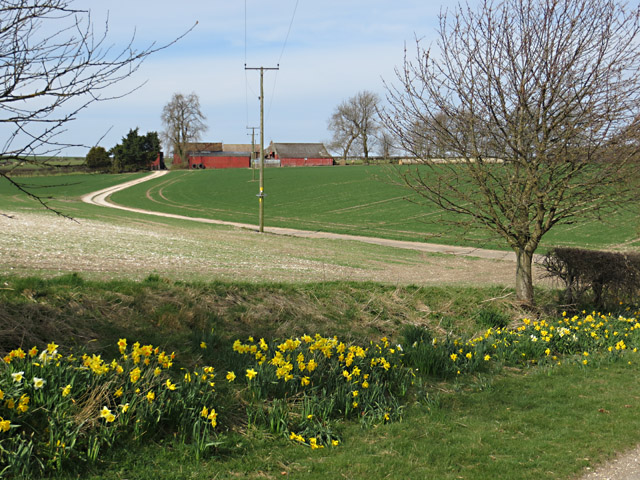
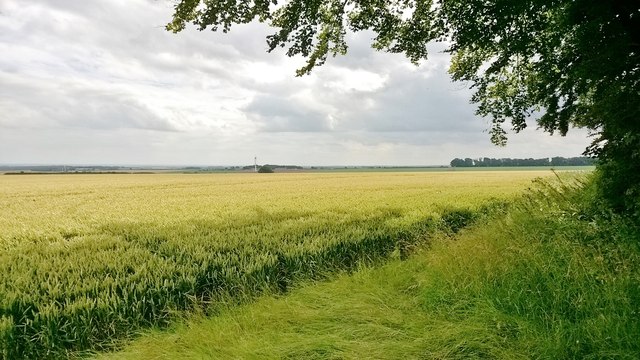
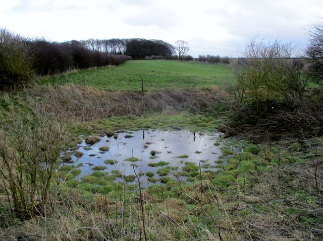
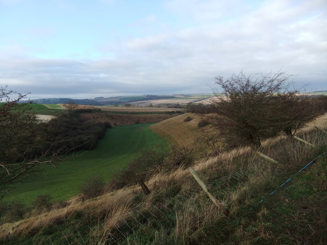
Dugdale Fields is a picturesque area located in Yorkshire, England, known for its stunning landscapes and diverse natural habitats. Situated amidst the beautiful Yorkshire Downs and Moorland, it encompasses an area of approximately 300 square kilometers.

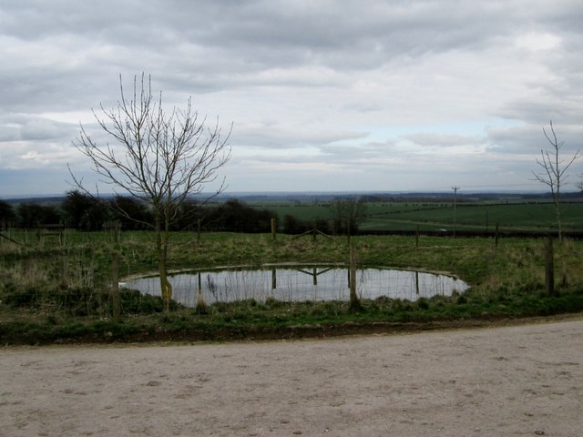
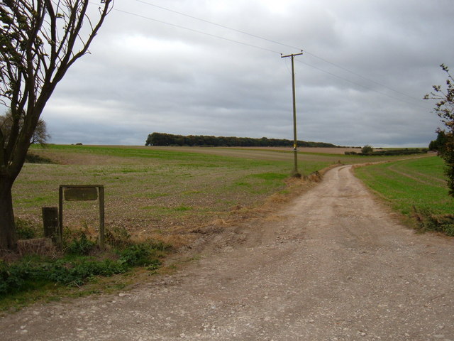
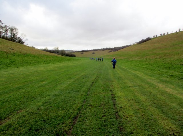
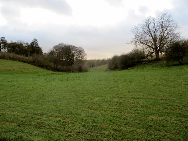
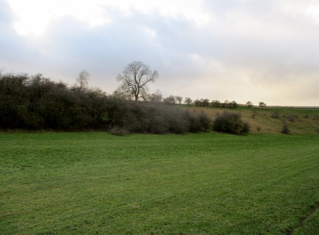
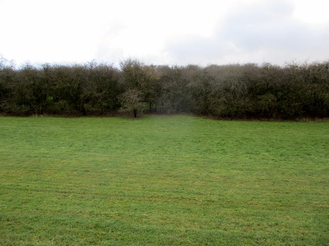
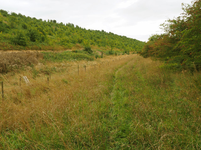
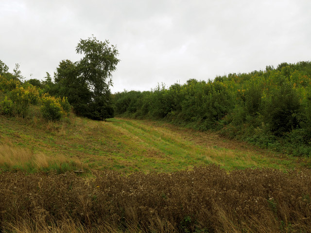
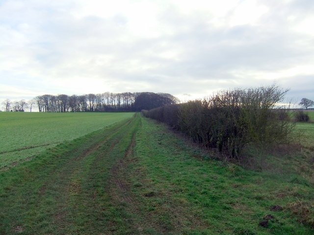
The region is characterized by rolling hills, lush green meadows, and vast open spaces, offering breathtaking panoramic views. Dugdale Fields is renowned for its diverse flora and fauna, with various species of wildflowers, grasses, and heather covering the moorland. It is home to numerous bird species, including skylarks, curlews, and lapwings, making it a paradise for birdwatchers and nature enthusiasts.

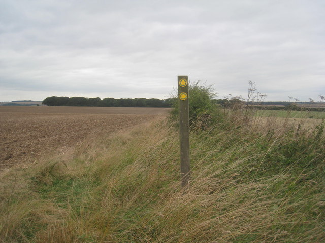
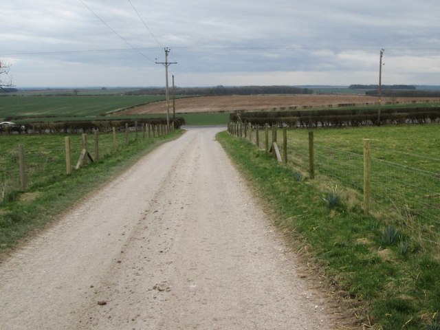
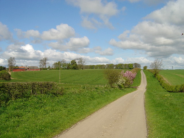
The Yorkshire Downs in Dugdale Fields are a haven for outdoor activities such as hiking, cycling, and horseback riding. The extensive network of footpaths and bridleways allows visitors to explore the area's natural beauty at their own pace. Additionally, the region boasts several well-maintained picnic spots and viewpoints where visitors can relax and enjoy the stunning surroundings.

Dugdale Fields is also steeped in history and cultural significance. The area has archaeological remains dating back to the Bronze Age, including burial mounds and stone circles, which provide a glimpse into the ancient civilizations that once inhabited the region. The nearby villages of Dugdale and surrounding areas offer visitors a chance to experience traditional Yorkshire hospitality and sample local delicacies.

Overall, Dugdale Fields in Yorkshire is a captivating destination, offering a blend of natural beauty, rich biodiversity, and historical significance. Whether exploring the vast moorlands, admiring the vibrant wildflowers, or immersing oneself in the local culture, visitors to Dugdale Fields are sure to have an unforgettable experience.

If you have any feedback on the listing, please let us know in the comments section below.

Dugdale Fields Images

Images are sourced within 2km of 53.930227/-0.65009956 or Grid Reference SE8849. Thanks to Geograph Open Source API. All images are credited.

Shiptondale Farm from Warter Road Daffodils were blooming in profusion along the many of the wolds roadsides, even in late April.
Shiptondale Farm from Warter Road
Daffodils were blooming in profusion along the many of the wolds roadsides, even in late April.
A choice of paths Straight on or to the right?  Neither path is particularly easy to follow at this time of the year, though advantage can be taken of walking through stubble or on harrowed land.
A choice of paths
Straight on or to the right? Neither path is particularly easy to follow at this time of the year, though advantage can be taken of walking through stubble or on harrowed land.
Dew  pond  on  a  wolds  farm Next to the access road to Kipling House Farm
Dew pond on a wolds farm
Next to the access road to Kipling House Farm
Access  road  to  the  A614 From Kipling  House  Farm
Access road to the A614
From Kipling House Farm
Ripening grain between Warter and Middleton
Shipton Dale Farm Single track road approx 4.5km west of Middleton on the Wolds
Shipton Dale Farm
Single track road approx 4.5km west of Middleton on the Wolds
Track to  Shiptondale Farm
Track to Shiptondale Farm
A614 The A614 runs 98 miles across Nottinghamshire and Yorkshire, from Redhill to Carnaby, near Bridlington.
<span class="nowrap"><a title="https://www.sabre-roads.org.uk/wiki/index.php?title=A614" rel="nofollow ugc noopener" href="https://www.sabre-roads.org.uk/wiki/index.php?title=A614">Link</a><img style="margin-left:2px;" alt="External link" title="External link - shift click to open in new window" src="https://s1.geograph.org.uk/img/external.png" width="10" height="10"/></span>
A614
The A614 runs 98 miles across Nottinghamshire and Yorkshire, from Redhill to Carnaby, near Bridlington. LinkExternal link
Walking  through  Great  Dug  Dale You come out on the B1246 just east of Warter.
Walking through Great Dug Dale
You come out on the B1246 just east of Warter.
A  small  side  valley  in  Great  Dug  Dale The wood to the left is Moss Hill Wood
A small side valley in Great Dug Dale
The wood to the left is Moss Hill Wood
Scrub  on  the side  of  Great  Dug  Dale
Scrub on the side of Great Dug Dale
Scrub  trees  on  the  southern  side  of  Great  Dug  Dale Good cover for game birds as this is a shooting estate
Scrub trees on the southern side of Great Dug Dale
Good cover for game birds as this is a shooting estate
Dew  pond  on  Dugdale  Fields At the head of Dug Dale, in the background Farberry Plantation
Dew pond on Dugdale Fields
At the head of Dug Dale, in the background Farberry Plantation
Kipling Cotes Derby Winning Post Tradition says that the race was first run in 1519 and that if one year the race does not take place then it will never be run again. As the race takes place on the third Thursday in March weather and ground conditions can be challenging. This year, 2018, waterlogging following heavy snow resulted in the abandoning of the race. However to ensure the continuation of the race in future years two horses were ridden along part and led along the rest of the course and thus are deemed to have constituted this year's race.
Kipling Cotes Derby Winning Post
Tradition says that the race was first run in 1519 and that if one year the race does not take place then it will never be run again. As the race takes place on the third Thursday in March weather and ground conditions can be challenging. This year, 2018, waterlogging following heavy snow resulted in the abandoning of the race. However to ensure the continuation of the race in future years two horses were ridden along part and led along the rest of the course and thus are deemed to have constituted this year's race.
Loaningdale Bottom
Loaningdale Bottom
Woodland Hill Track
Woodland Hill Track
Great Dug Dale
Great Dug Dale
Dugdale Fields
Dugdale Fields
Show me another place!

Dugdale Fields is located at Grid Ref: SE8849 (Lat: 53.930227, Lng: -0.65009956)

Division: East Riding

Unitary Authority: East Riding of Yorkshire

Police Authority: Humberside

What 3 Words

///castle.sized.automatic. Near Londesborough, East Yorkshire

Related Wikis

Bigger Trees Near Warter

Bigger Trees Near Warter or ou Peinture en Plein Air pour l'age Post-Photographique is a large landscape painting by British artist David Hockney. Measuring...
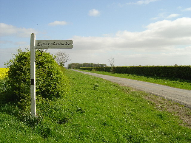
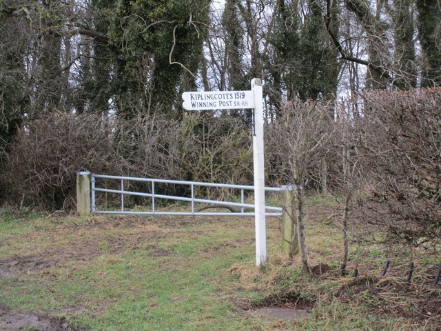
Kiplingcotes Derby

Kiplingcotes Derby (also spelt Kipling Cotes), run at Kiplingcotes in the East Riding of Yorkshire, is widely accepted to be the oldest annual horse race...

St James' Church, Warter

St James’ Church lies in Warter, an estate village in England, in the Yorkshire Wolds, part of the East Riding of Yorkshire. == Origins and history... ==
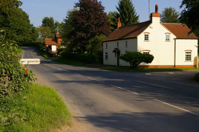
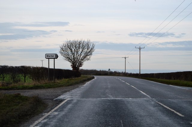
Warter

Warter is a small village and civil parish in the East Riding of Yorkshire, England. It is situated approximately 4 miles (6.4 km) east of Pocklington...

Nearby Amenities

Located within 500m of 53.930227,-0.65009956
Power: pole
Lat/Long: 53.9334758/-0.6527589
Power: pole
Lat/Long: 53.932443/-0.6557466
Power: pole
Lat/Long: 53.9329547/-0.6542607
Power: pole
Lat/Long: 53.9339211/-0.6513373
The data included in this document is from www.openstreetmap.org. The data is made available under ODbL.

Have you been to Dugdale Fields?

Leave your review of Dugdale Fields below (or comments, questions and feedback).