Cascade Clump
Wood, Forest in Yorkshire
England
Cascade Clump
Cascade Clump is a picturesque woodland area located in Yorkshire, England. Nestled within the larger Yorkshire Dales National Park, this charming forest is known for its abundant natural beauty and tranquil ambiance.
Covering an area of approximately 200 acres, Cascade Clump is characterized by its dense vegetation and diverse range of plant and animal species. The woodland boasts a variety of tree species, including oak, beech, and birch, which create a lush and vibrant canopy overhead. The forest floor is carpeted with an array of wildflowers, adding splashes of color to the landscape.
One of the main attractions of Cascade Clump is its striking cascading waterfall, which gives the woodland its name. The waterfall, formed by a small stream running through the forest, adds to the serene atmosphere and provides a soothing soundtrack as the water gently cascades down the rocks.
The woodland is also home to a rich and diverse array of wildlife. Nature enthusiasts visiting Cascade Clump may be fortunate enough to spot various bird species, such as woodpeckers and owls, as well as small mammals like squirrels and rabbits. Additionally, the forest supports a diverse insect population, including butterflies and dragonflies.
Cascade Clump offers visitors the opportunity to explore its enchanting trails, which wind through the woodland and provide breathtaking views of the surrounding countryside. The forest is a popular destination for hikers, nature lovers, and photographers looking to capture the beauty of Yorkshire's natural landscapes.
Overall, Cascade Clump is a hidden gem within the Yorkshire Dales National Park, offering visitors a chance to immerse themselves in the peacefulness and serenity of a traditional English woodland.
If you have any feedback on the listing, please let us know in the comments section below.
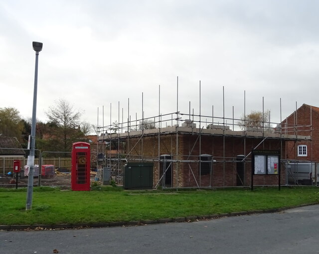
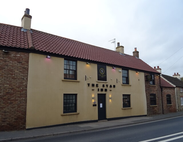
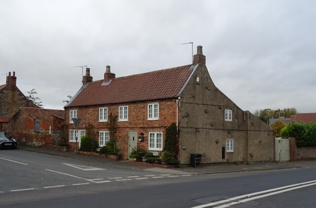
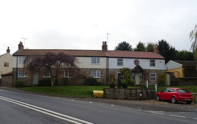
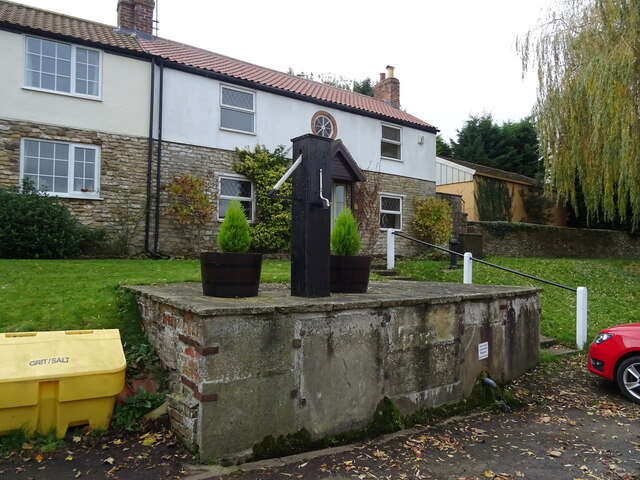
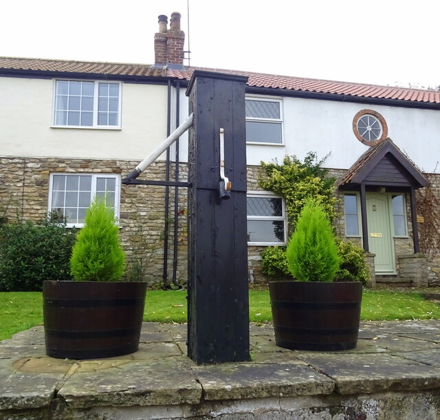
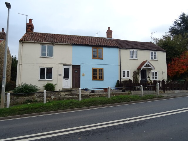
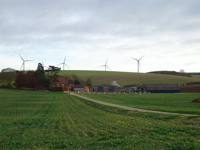
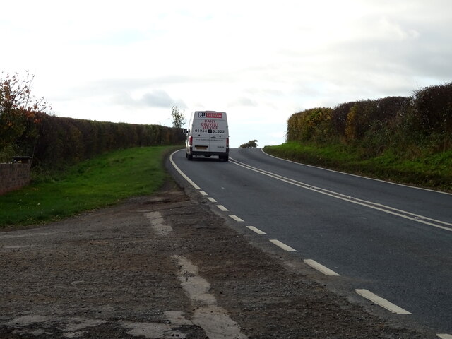
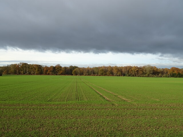
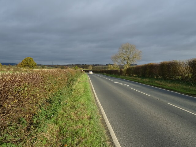
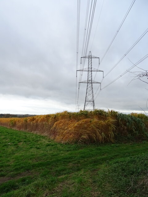
Cascade Clump Images
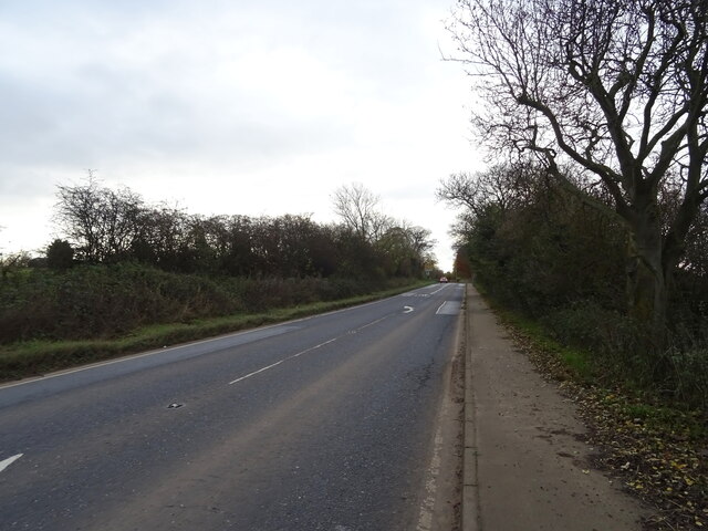
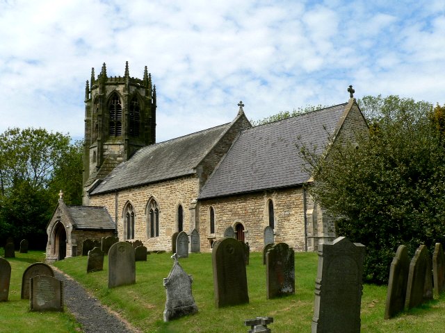
Images are sourced within 2km of 53.838169/-0.65196769 or Grid Reference SE8838. Thanks to Geograph Open Source API. All images are credited.

Cascade Clump is located at Grid Ref: SE8838 (Lat: 53.838169, Lng: -0.65196769)
Division: East Riding
Unitary Authority: East Riding of Yorkshire
Police Authority: Humberside
What 3 Words
///operation.nation.sleepy. Near Market Weighton, East Yorkshire
Related Wikis
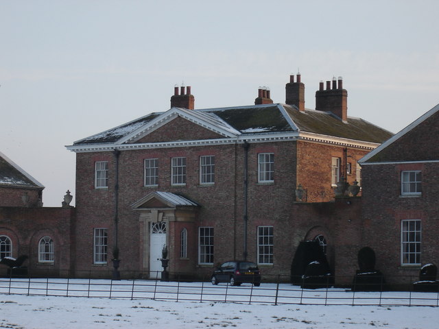
Houghton Hall, East Riding of Yorkshire
Houghton Hall, Sancton, near Market Weighton, is a Grade I listed Georgian country mansion in the East Riding of Yorkshire, England, set in an estate of...
Houghton, East Riding of Yorkshire
Houghton is a hamlet in the East Riding of Yorkshire, England. It is situated approximately 2 miles (3.2 km) south of the market town of Market Weighton...

Harthill Wapentake
Harthill was a wapentake of the historic East Riding of Yorkshire, England consisting of the central part of the county. Established in medieval times...
Sancton
For people with the surname, see Sancton (surname). Sancton is a village and civil parish in the East Riding of Yorkshire, England. It is situated approximately...

North Cliffe
North Cliffe is a hamlet and former civil parish, now in the parish of South Cliffe, in the East Riding of Yorkshire, England. It is situated about 3 miles...

Market Weighton
Market Weighton ( WEE-tən) is a town and civil parish in the East Riding of Yorkshire, England. It is one of the main towns in the East Yorkshire Wolds...

South Cliffe
South Cliffe is a village and civil parish in the East Riding of Yorkshire, England. It is situated about 2.5 miles (4 km) north of North Cave, 2 miles...

Vixen 101
Vixen 101 (or Vixen 87 as it was originally known) is a community radio organisation based in the town of Market Weighton, East Riding of Yorkshire, England...
Nearby Amenities
Located within 500m of 53.838169,-0.65196769Have you been to Cascade Clump?
Leave your review of Cascade Clump below (or comments, questions and feedback).