Towthorpe Plantation

Wood, Forest in Yorkshire

England

Towthorpe Plantation

Track giving access to Towthorpe Manor Farm Looking north-westward.
Track giving access to Towthorpe Manor Farm Credit: Peter Wood

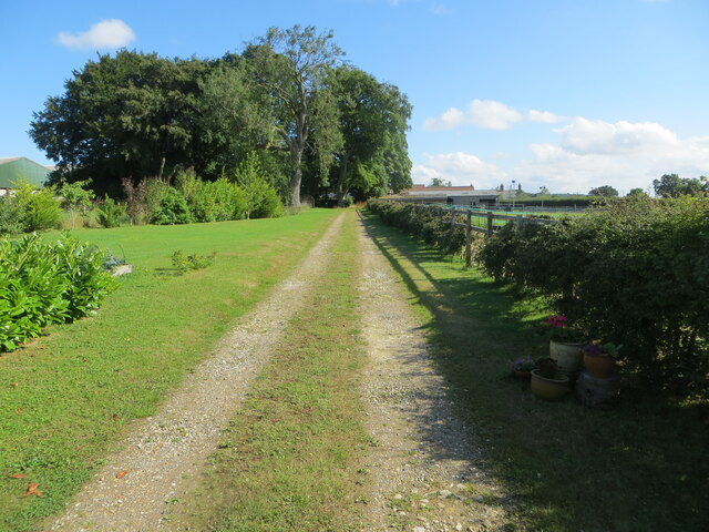
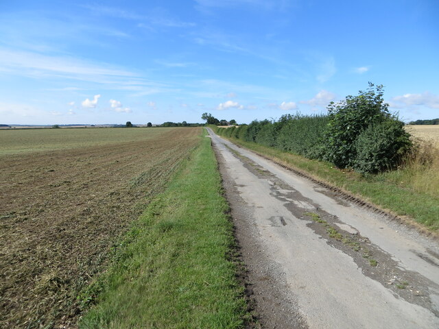
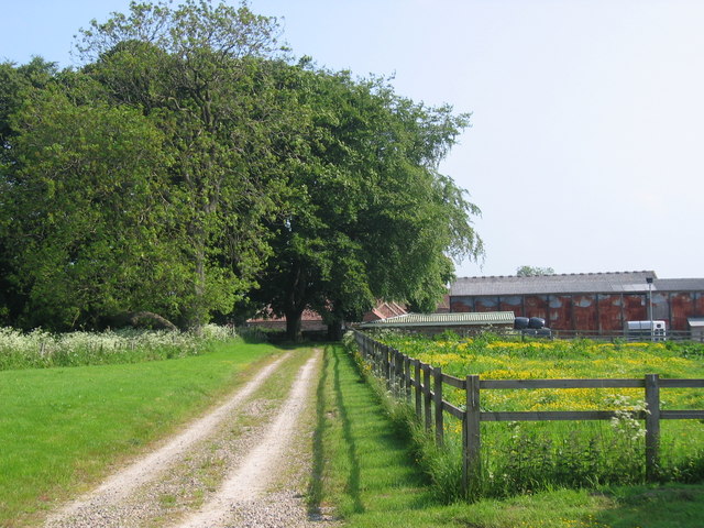
Towthorpe Plantation is a picturesque woodland located in the county of Yorkshire, England. Situated near the village of Towthorpe, the plantation covers an area of approximately 100 acres. It is a popular destination for nature enthusiasts, hikers, and those seeking a peaceful retreat amidst the beauty of nature.

The woodland is predominantly composed of native tree species, including oak, beech, and birch. These trees create a diverse and vibrant canopy, providing shelter for a wide range of wildlife. Towthorpe Plantation is known for its rich biodiversity, with numerous bird species, such as the great spotted woodpecker and the tawny owl, making it their home. Additionally, the woodland is home to various mammals, including deer, rabbits, and squirrels.

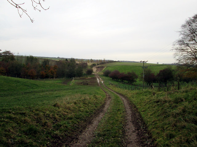
Visitors to Towthorpe Plantation can enjoy a network of well-maintained walking trails that meander through the woodland. These trails offer stunning views of the surrounding countryside and provide opportunities for peaceful walks and birdwatching. The woodland is also equipped with picnic areas, allowing visitors to take a break and enjoy the tranquility of the natural surroundings.

Towthorpe Plantation is managed by the local forestry commission, which ensures the preservation and sustainable management of the woodland. The commission conducts regular maintenance activities, such as tree planting and removal of invasive species, to maintain the health and diversity of the woodland ecosystem.

Overall, Towthorpe Plantation is a gem of natural beauty in Yorkshire, offering visitors a chance to immerse themselves in the tranquility of a vibrant woodland ecosystem.

If you have any feedback on the listing, please let us know in the comments section below.

Towthorpe Plantation Images

Images are sourced within 2km of 54.066187/-0.64463969 or Grid Reference SE8864. Thanks to Geograph Open Source API. All images are credited.

Track giving access to Towthorpe Manor Farm Looking north-westward.
Track giving access to Towthorpe Manor Farm
Looking north-westward.
B1253  toward  Duggleby  Canada  Cottages  on  the  right
B1253 toward Duggleby Canada Cottages on the right
County  Boundary  on  Sledmere  to  Duggleby  road The sign beyond is Welcome to Ryedale
County Boundary on Sledmere to Duggleby road
The sign beyond is Welcome to Ryedale
Grass verge separating minor road from cultivated field Looking south-westward
Grass verge separating minor road from cultivated field
Looking south-westward
Top Barn, Sledmere Estate
Kirby Grange, early Spring view Compare to the last image taken of the farm, an October view. <a href="https://www.geograph.org.uk/photo/2115233">SE9064 : Kirby Grange</a>
Kirby Grange, early Spring view
Compare to the last image taken of the farm, an October view. SE9064 : Kirby Grange
Top Barn Top Barn buildings are located in a remote position on the wold above Kirby Grindalythe. The buildings now show little signs of usage.
Top Barn
Top Barn buildings are located in a remote position on the wold above Kirby Grindalythe. The buildings now show little signs of usage.
Top Barn This image shows the north facing elevation of the barn. The buildings now appear to have fallen into disuse.
Top Barn
This image shows the north facing elevation of the barn. The buildings now appear to have fallen into disuse.
Disused  barns  at  Towthorpe  Grange Soon to be converted to 11 separate dwellings or holiday homes. Full planning permission has already been granted.
Disused barns at Towthorpe Grange
Soon to be converted to 11 separate dwellings or holiday homes. Full planning permission has already been granted.
Track  from  Mowthorpe  Dale  to  Towthorpe  Grange A steady climb up the dale side, field mainly used for beef cattle.
Track from Mowthorpe Dale to Towthorpe Grange
A steady climb up the dale side, field mainly used for beef cattle.
Track  into  the  dale  bottom In the bottom,Mowthorpe Dale to the left,Towthorpe Dale to the right,the track goes up and over Towthorpe Wold passing Mill Farm on the way to Sledmere
Track into the dale bottom
In the bottom,Mowthorpe Dale to the left,Towthorpe Dale to the right,the track goes up and over Towthorpe Wold passing Mill Farm on the way to Sledmere
Shades  of  Autumn  Mowthorpe  Dale A long thin plantation runs in the dale bottom
Shades of Autumn Mowthorpe Dale
A long thin plantation runs in the dale bottom
Track  repairs  Towthorpe  Wold Towthorpe Grange Farm can be seen on the crest of the wold in the distance
Track repairs Towthorpe Wold
Towthorpe Grange Farm can be seen on the crest of the wold in the distance
Kirby Grange A typical view of the undulating land in this grid square. Looking north from the B1253.
Kirby Grange
A typical view of the undulating land in this grid square. Looking north from the B1253.
Towthorpe View north to Towthorpe which is in the top NW corner of the grid square. This area is all farmland.
Towthorpe
View north to Towthorpe which is in the top NW corner of the grid square. This area is all farmland.
Bridleway To Towthorpe
Wolds farming, old and new. Derelict 19th Century farm buildings, alongside extensive oilseed rape crop.
Wolds farming, old and new.
Derelict 19th Century farm buildings, alongside extensive oilseed rape crop.
Road to Towthorpe
Road to Towthorpe
Show me another place!

Towthorpe Plantation is located at Grid Ref: SE8864 (Lat: 54.066187, Lng: -0.64463969)

Division: East Riding

Unitary Authority: East Riding of Yorkshire

Police Authority: Humberside

What 3 Words

///flooding.sage.scorecard. Near Fimber, East Yorkshire

Nearby Locations

Towthorpe Plantation

Related Wikis

Towthorpe, East Riding of Yorkshire

Towthorpe is a hamlet and former civil parish, now in the parish of Fimber, in the East Riding of Yorkshire, England. It is situated in the Yorkshire...

Burdale, North Yorkshire

Burdale is a hamlet in North Yorkshire, England, 8 miles (13 km) south-east of Malton. It lies in a deep valley (or dale), also known as Burdale, in the...

Burdale railway station

Burdale railway station was a station on the Malton and Driffield Junction Railway in North Yorkshire, England. == History and description == Burdale...

Wharram

Wharram is a civil parish in North Yorkshire, England. It lies on the Yorkshire Wolds, 6 miles (10 km) south-east of Malton. The principal settlement is...

Have you been to Towthorpe Plantation?

Leave your review of Towthorpe Plantation below (or comments, questions and feedback).