Marley Common
Wood, Forest in Sussex Chichester
England
Marley Common
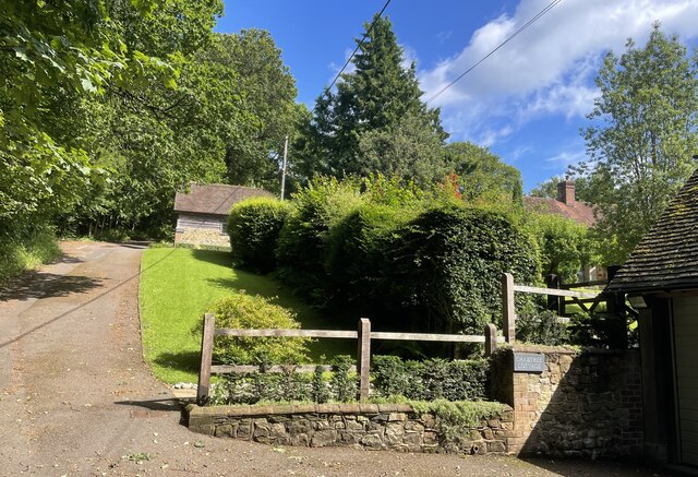
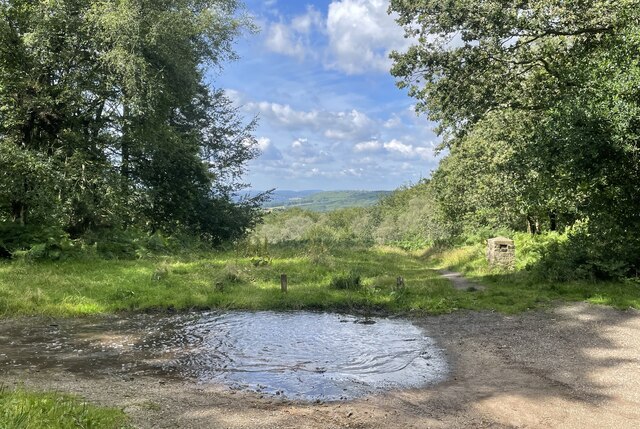
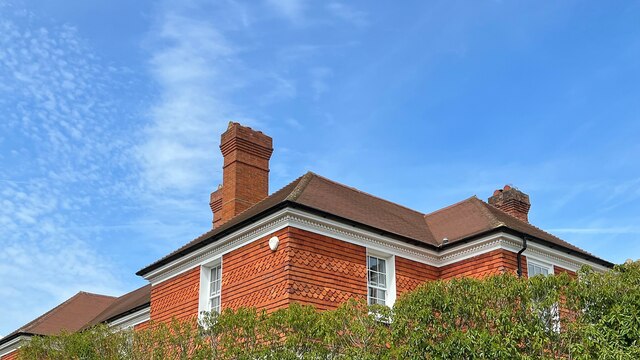
Marley Common is a picturesque woodland located in the county of Sussex, England. Covering an area of approximately 100 acres, it is situated near the village of Marley, hence its name. The common is renowned for its natural beauty and is a popular destination for nature enthusiasts and outdoor enthusiasts alike.
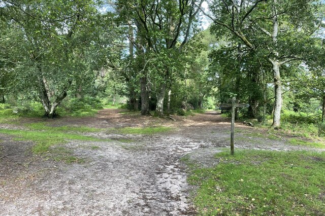
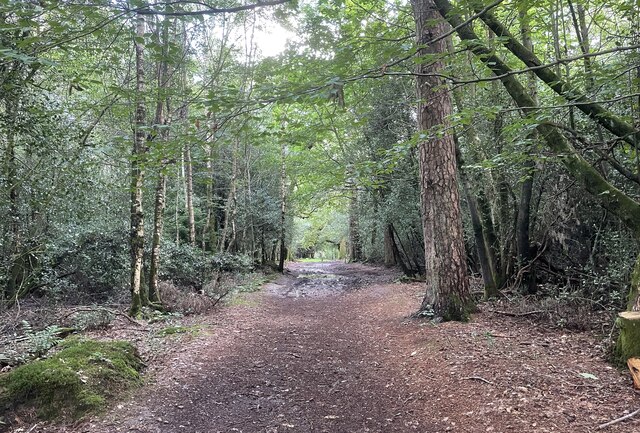
This woodland is dominated by a mix of broadleaf trees, including oak, beech, and birch, which create a dense and vibrant canopy. The forest floor is adorned with an array of native flora, such as bluebells, foxgloves, and wild garlic, adding to the area's charm and biodiversity.
Marley Common is home to a diverse range of wildlife, making it an ideal spot for birdwatching and animal spotting. Visitors may catch a glimpse of woodpeckers, owls, and various species of butterflies and dragonflies as they explore the peaceful trails and pathways that wind through the woods.
The common also offers several recreational activities for visitors to enjoy. There are designated picnic areas where families and friends can relax and enjoy a meal amidst the tranquil surroundings. Additionally, the woodland provides opportunities for walking, hiking, and cycling, with well-maintained trails catering to all levels of fitness and ability.
Marley Common is a true gem in the heart of Sussex, offering a serene escape from the hustle and bustle of daily life. Its natural beauty, diverse wildlife, and range of recreational activities make it a must-visit destination for those seeking solace in nature.
If you have any feedback on the listing, please let us know in the comments section below.
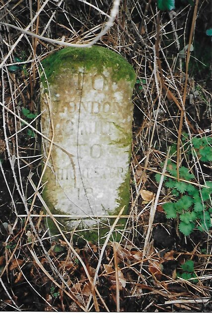
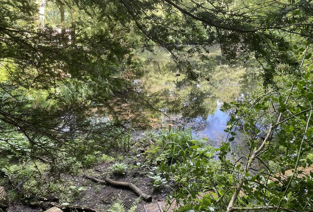
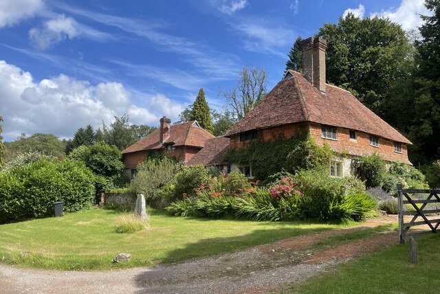
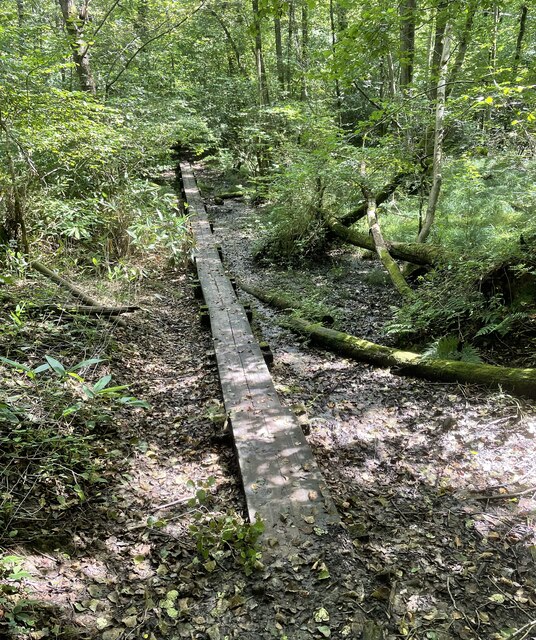
Marley Common Images
Images are sourced within 2km of 51.074984/-0.7337287 or Grid Reference SU8831. Thanks to Geograph Open Source API. All images are credited.


Marley Common is located at Grid Ref: SU8831 (Lat: 51.074984, Lng: -0.7337287)
Administrative County: West Sussex
District: Chichester
Police Authority: Sussex
What 3 Words
///scribble.middle.acute. Near Haslemere, Surrey
Nearby Locations
Related Wikis
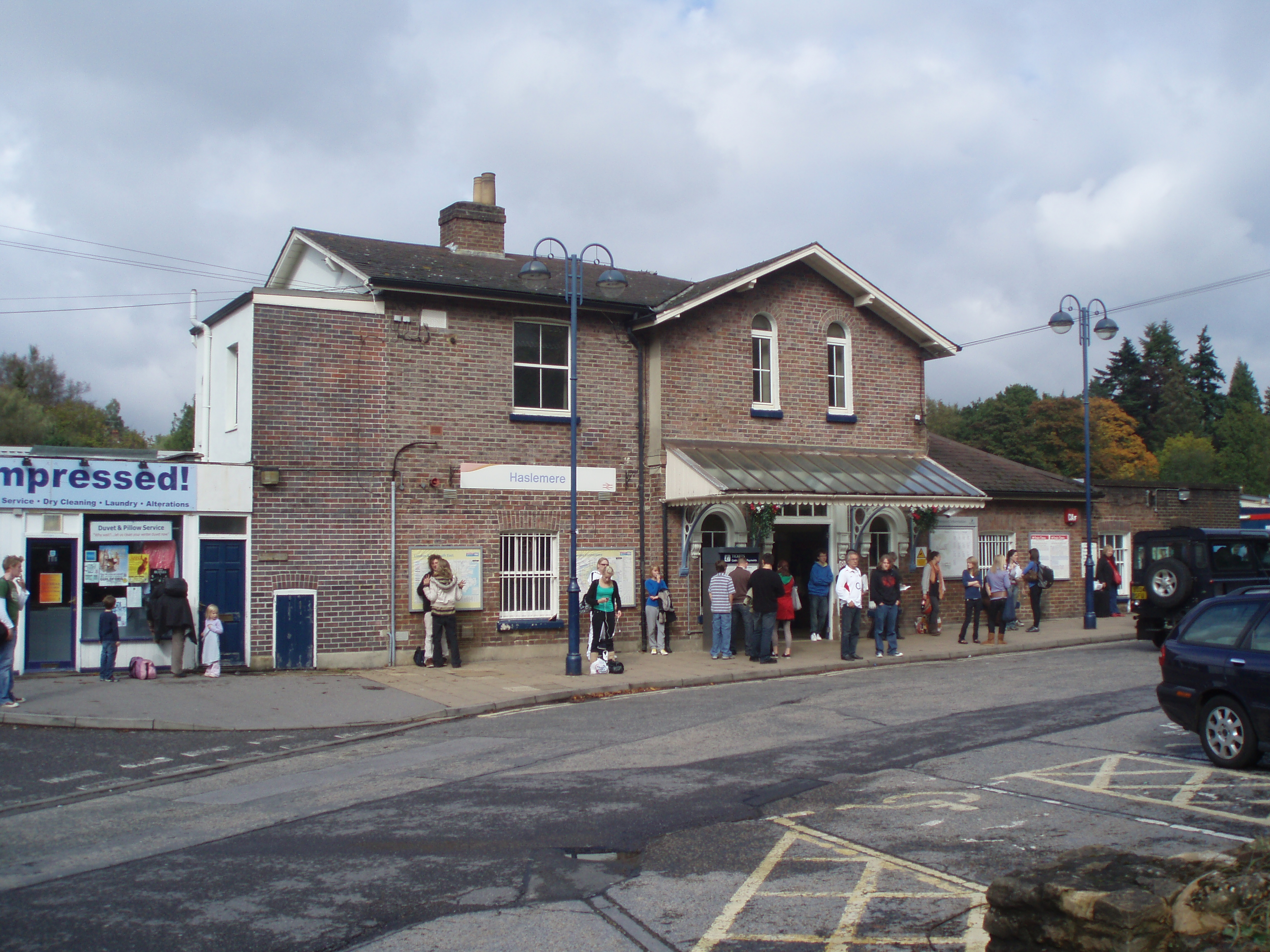
Haslemere railway station
Haslemere railway station is on the Portsmouth Direct Line, serving the town of Haslemere, Surrey, England. It is 42 miles 79 chains (69.2 km) down the...

Linchmere
Linchmere, also spelled Lynchmere, is a village and a civil parish, the northernmost parish in the Chichester district of West Sussex, England. It is...
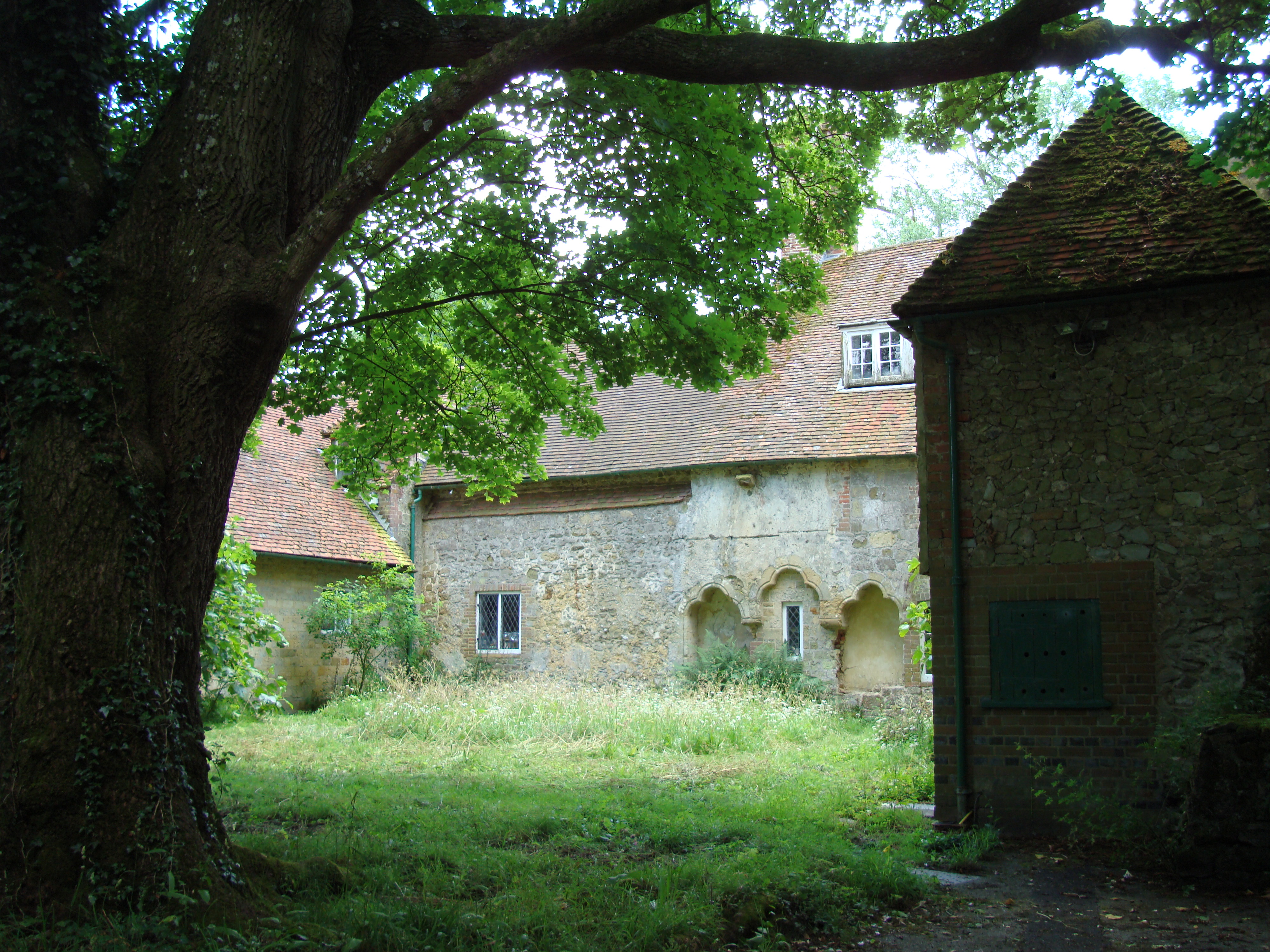
Shulbrede Priory
Shulbrede Priory is a former medieval monastic house in West Sussex, England; it became the home of the Ponsonby family, including the first Lord Ponsonby...
Woolmer Hill
Woolmer Hill is an area of high ground in the south-west corner of Surrey, England in the Borough of Waverley abutting Hampshire to the west and West Sussex...

Hammer Bottom
Hammer Bottom or Hammer Vale is a hamlet in the civil parish of Bramshott and Liphook, in the East Hampshire district in the county of Hampshire, England...

Haslemere Town Hall
Haslemere Town Hall is a municipal building in the High Street, Haslemere, Surrey, England. The structure, which serves as the meeting place of Haslemere...
The Curry Club
The Curry Club was founded by Pat Chapman in 1982, to further the understanding and appreciation of the cuisines of the Indian subcontinent. In 2007 it...

Haslemere Educational Museum
Haslemere Educational Museum was founded in 1888 by the eminent surgeon Sir Jonathan Hutchinson to display his growing collection of natural history specimens...
Nearby Amenities
Located within 500m of 51.074984,-0.7337287Have you been to Marley Common?
Leave your review of Marley Common below (or comments, questions and feedback).