Marley Combe
Valley in Sussex Chichester
England
Marley Combe
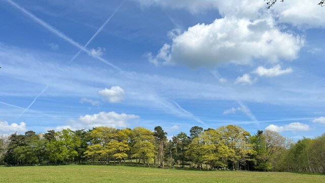
Marley Combe, Sussex (Valley), is a picturesque village nestled in the heart of the Sussex countryside in England. Located approximately 20 miles north of Brighton, it is surrounded by rolling hills and lush green fields, making it an ideal destination for nature lovers and those seeking tranquility away from the hustle and bustle of city life.
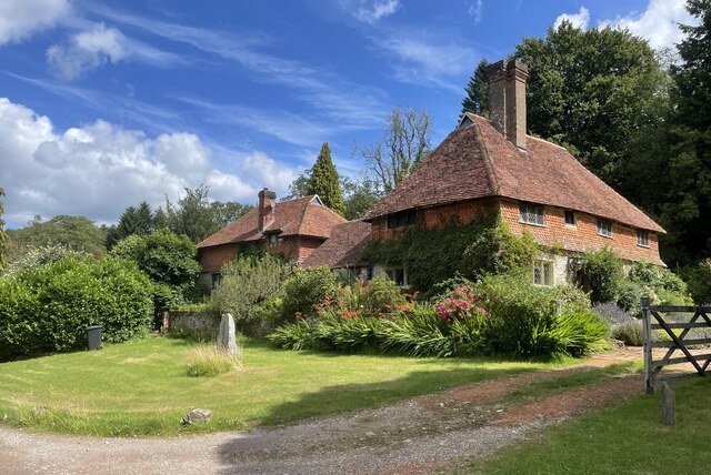
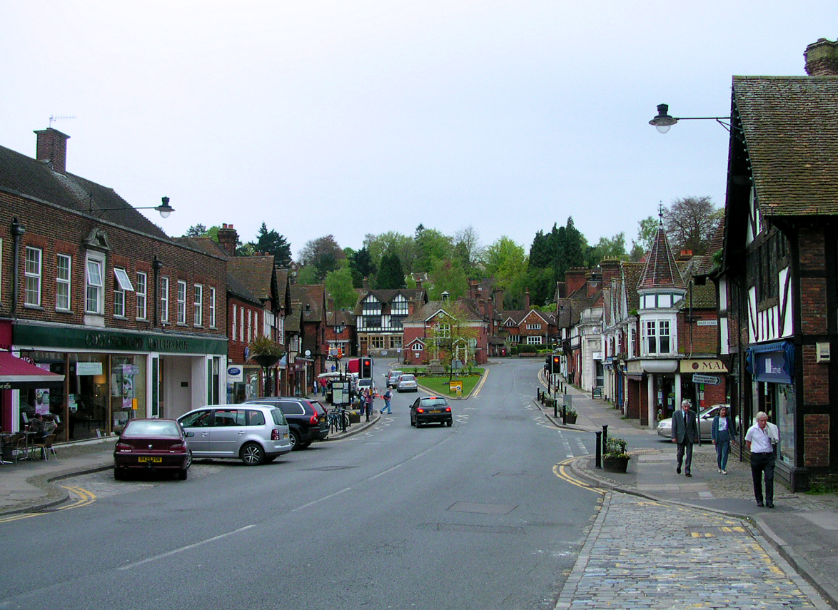
The village itself is small and charming, with a population of around 500 residents. It is characterized by its traditional English architecture, featuring quaint cottages with thatched roofs and colorful gardens. The Marley Combe Parish Church, a prominent landmark in the village, dates back to the 12th century and is a testament to its rich history.
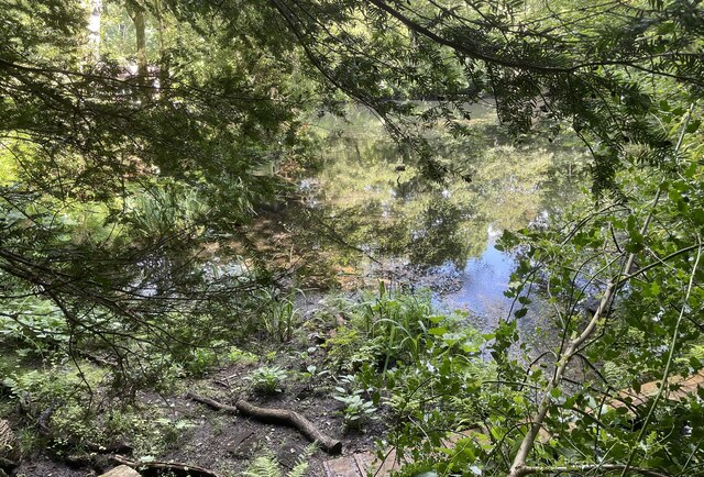
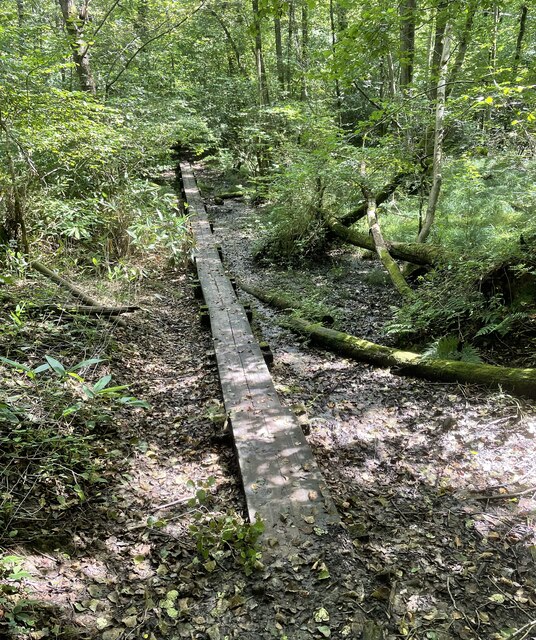
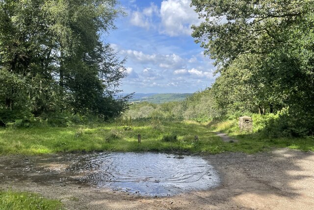
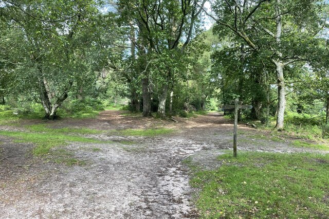
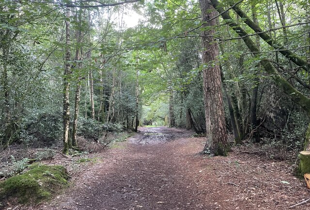
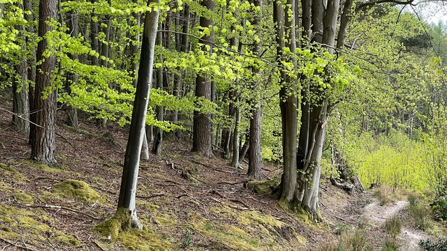
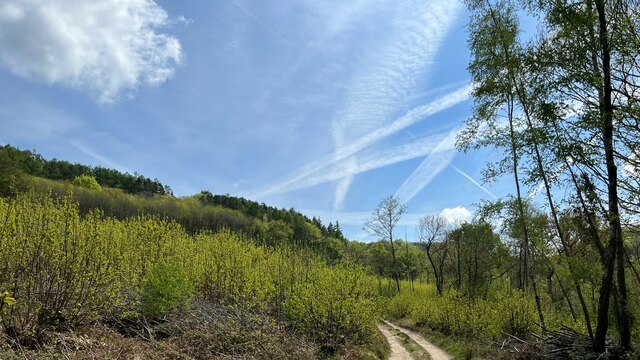
The surrounding landscape offers numerous recreational activities for visitors. The nearby Marley Combe Woods, a nature reserve spanning over 100 acres, is a haven for wildlife enthusiasts and walkers alike. The woods are home to an array of flora and fauna, including ancient oak trees and rare species of birds.
In terms of amenities, Marley Combe boasts a cozy village pub, The Black Horse Inn, where locals and visitors can enjoy traditional British fare and a pint of ale. There is also a small village shop, which provides essential supplies for the community.
Overall, Marley Combe, Sussex (Valley), is a hidden gem that offers a tranquil and idyllic retreat for those seeking a taste of rural England. Its natural beauty, rich history, and friendly community make it a charming destination for visitors of all ages.
If you have any feedback on the listing, please let us know in the comments section below.
Marley Combe Images
Images are sourced within 2km of 51.077843/-0.7329226 or Grid Reference SU8831. Thanks to Geograph Open Source API. All images are credited.


Marley Combe is located at Grid Ref: SU8831 (Lat: 51.077843, Lng: -0.7329226)
Administrative County: West Sussex
District: Chichester
Police Authority: Sussex
What 3 Words
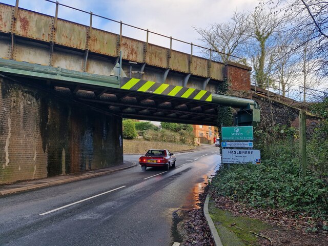
///newly.texts.knees. Near Haslemere, Surrey
Nearby Locations
Related Wikis
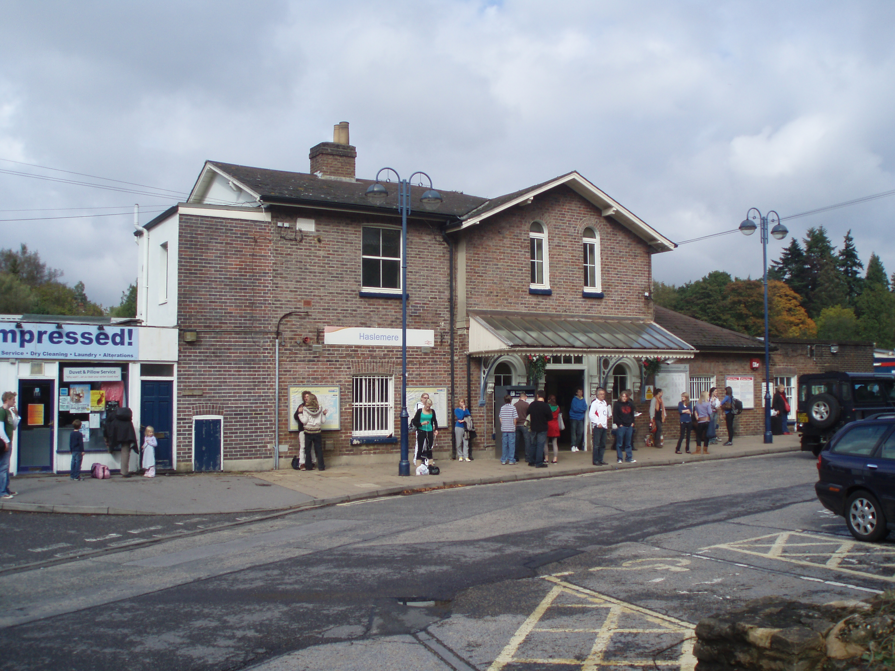
Haslemere railway station
Haslemere railway station is on the Portsmouth Direct Line, serving the town of Haslemere, Surrey, England. It is 42 miles 79 chains (69.2 km) down the...

Woolmer Hill
Woolmer Hill is an area of high ground in the south-west corner of Surrey, England in the Borough of Waverley abutting Hampshire to the west and West Sussex...

Hammer Bottom
Hammer Bottom or Hammer Vale is a hamlet in the civil parish of Bramshott and Liphook, in the East Hampshire district in the county of Hampshire, England...

Haslemere Town Hall
Haslemere Town Hall is a municipal building in the High Street, Haslemere, Surrey, England. The structure, which serves as the meeting place of Haslemere...
The Curry Club
The Curry Club was founded by Pat Chapman in 1982, to further the understanding and appreciation of the cuisines of the Indian subcontinent. In 2007 it...

Haslemere Educational Museum
Haslemere Educational Museum was founded in 1888 by the eminent surgeon Sir Jonathan Hutchinson to display his growing collection of natural history specimens...
Haslemere
The town of Haslemere () and the villages of Shottermill and Grayswood are in south west Surrey, England, around 38 mi (62 km) south west of London. Together...
Linchmere
Linchmere, also spelled Lynchmere, is a village and a civil parish, the northernmost parish in the Chichester district of West Sussex, England. It is...
Related Videos


The Serpent Trail | 65 mile long distance trail | - Day One - Haslemere to Coombe Hill
Marek Larwood starts his four day journey on the Serpent Trail, a 65 mile walk set up by the South Downs National Park people.

Haslemere Circular Walk | Walks Near London | Olympus E-M5 Mark III Vlog
swcwalks #book1 #walk22 . Marek Larwood visits Haslemere to undertake the short 8.5 mile Haslemere Circular walk, taking in ...

100km 4-Day Solo Walk & Wild Camping along the Serpent Trail.
In November 2020 I decided to walk The Serpent Trail, a 100km path that winds its way from Haslemere to Petersfield. It took me ...
Nearby Amenities
Located within 500m of 51.077843,-0.7329226Have you been to Marley Combe?
Leave your review of Marley Combe below (or comments, questions and feedback).